Our last day of biking: David generously offered to drive again, and the rest of us went most of the way down the eastern side of the Cabot Trail, a pleasant ride with rolling hills and great views until one enormous climb over Mount Smokey at around mile 40. We spent the night at Cabot Shores resort. [60.4 mi]
i got up even earlier the second day at Dingwall to take sunrise photos; if that's not your thing, it should be obvious when to stop skimming |
the sky is a little bit orange |
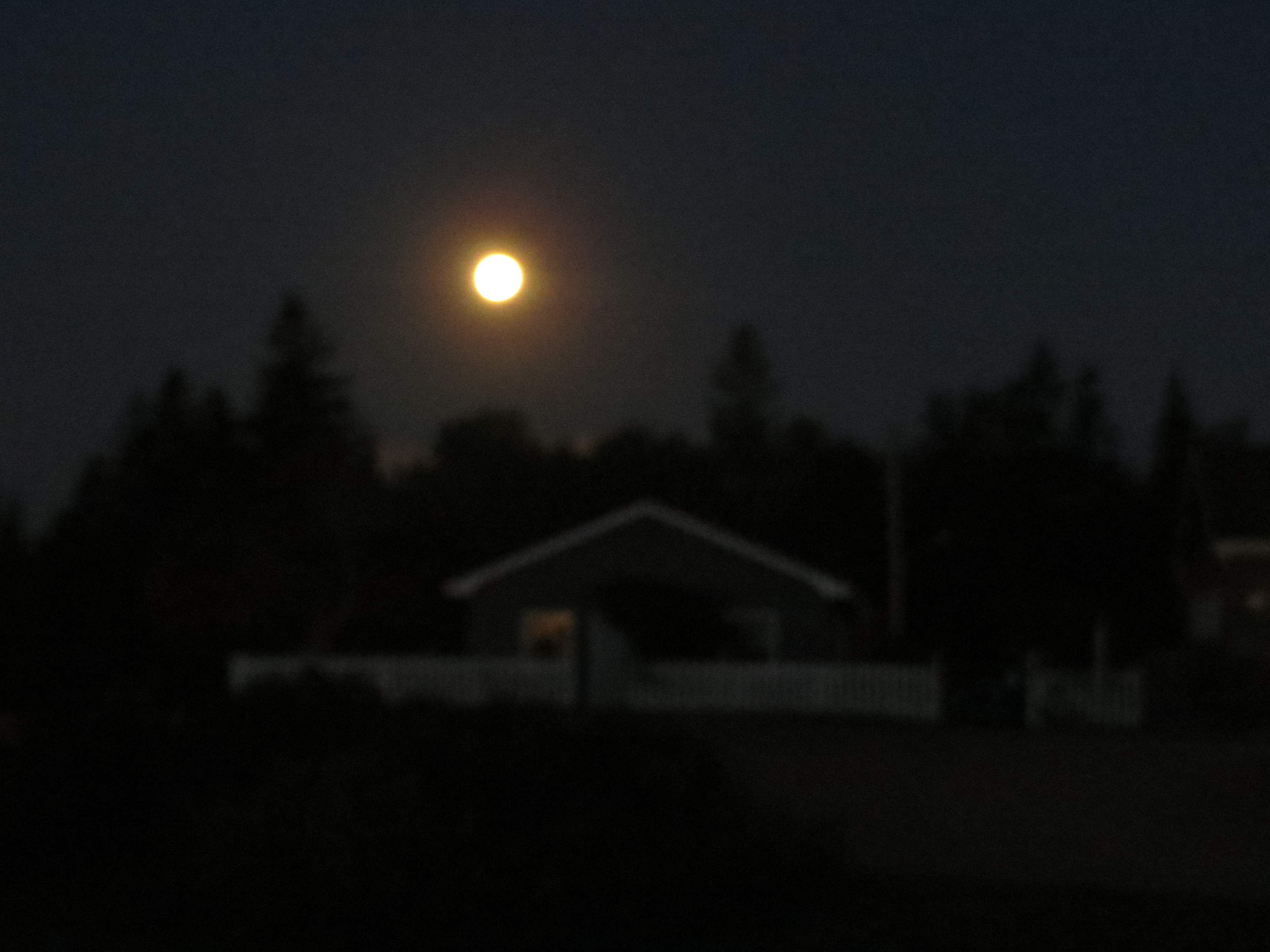
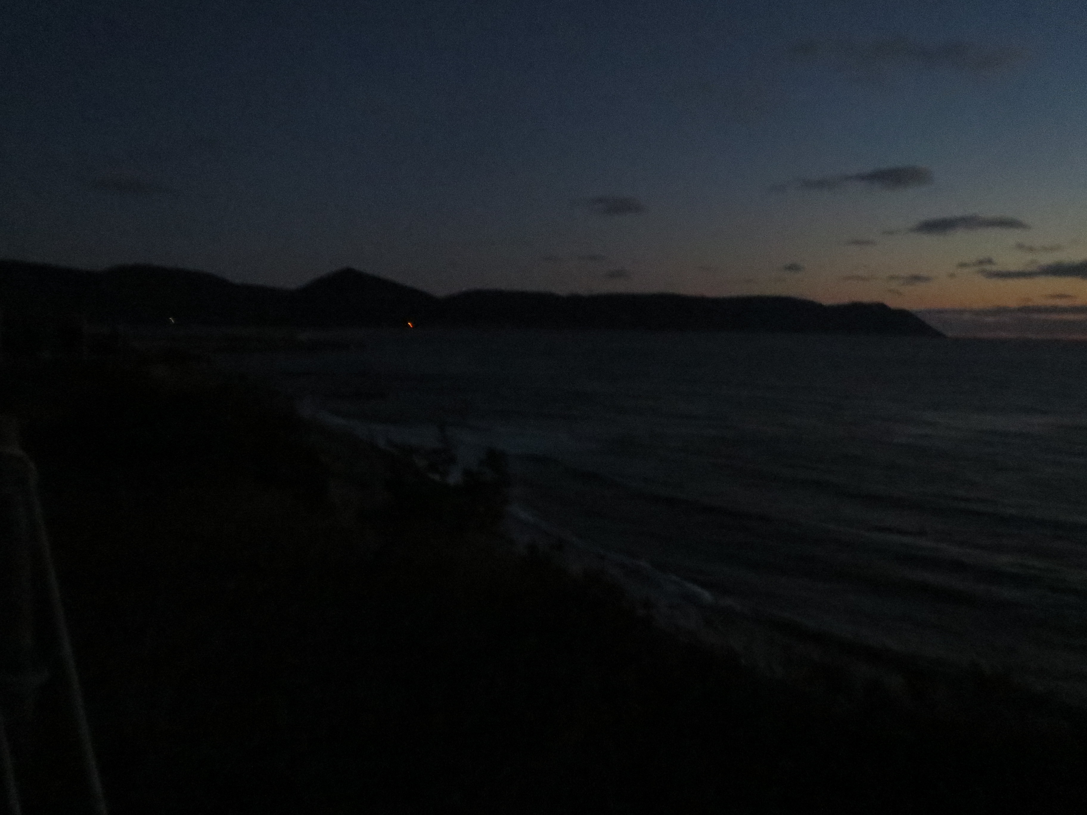
the moon is still hanging out over the cabins |
now the sky is more orange |
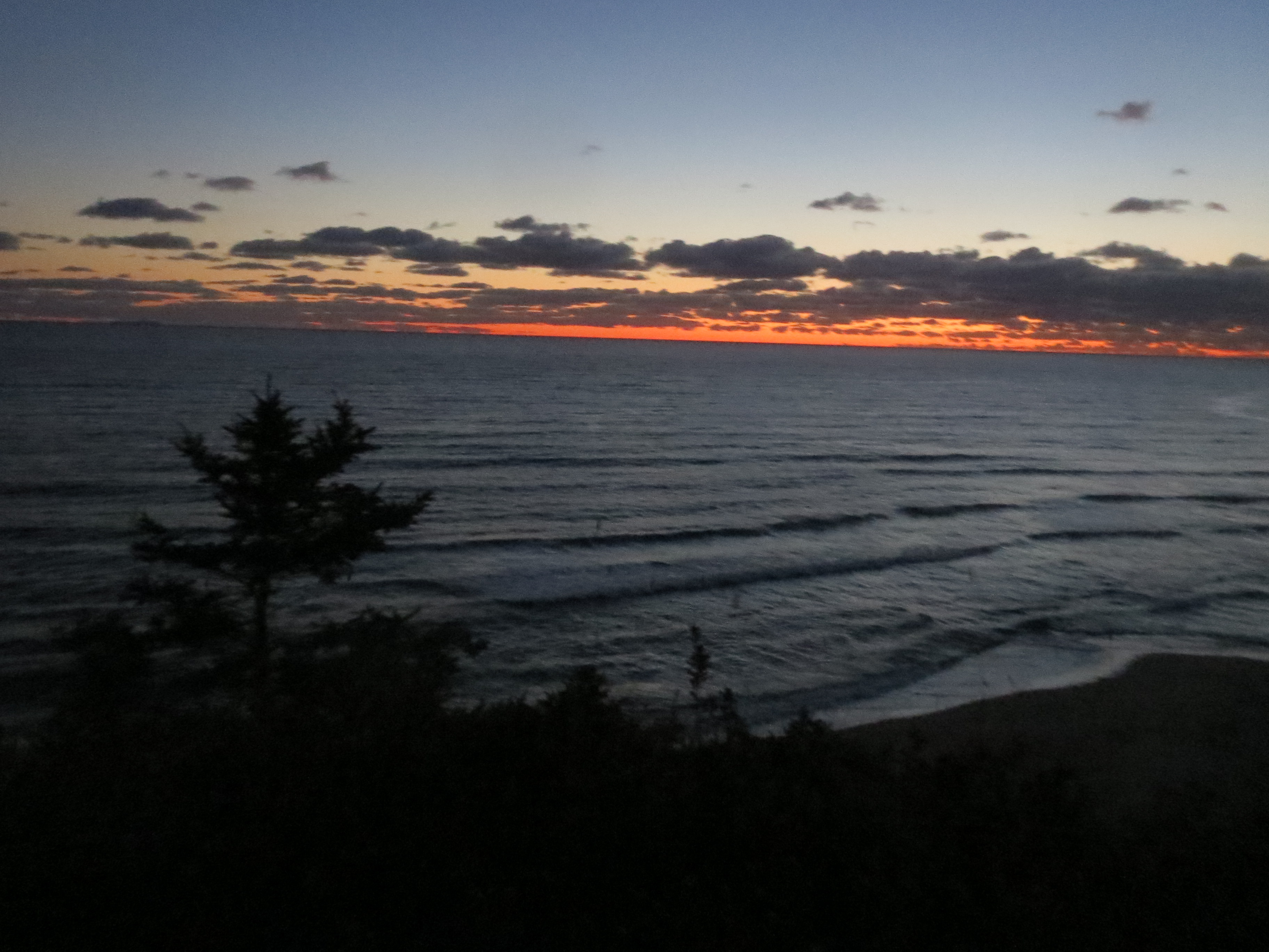
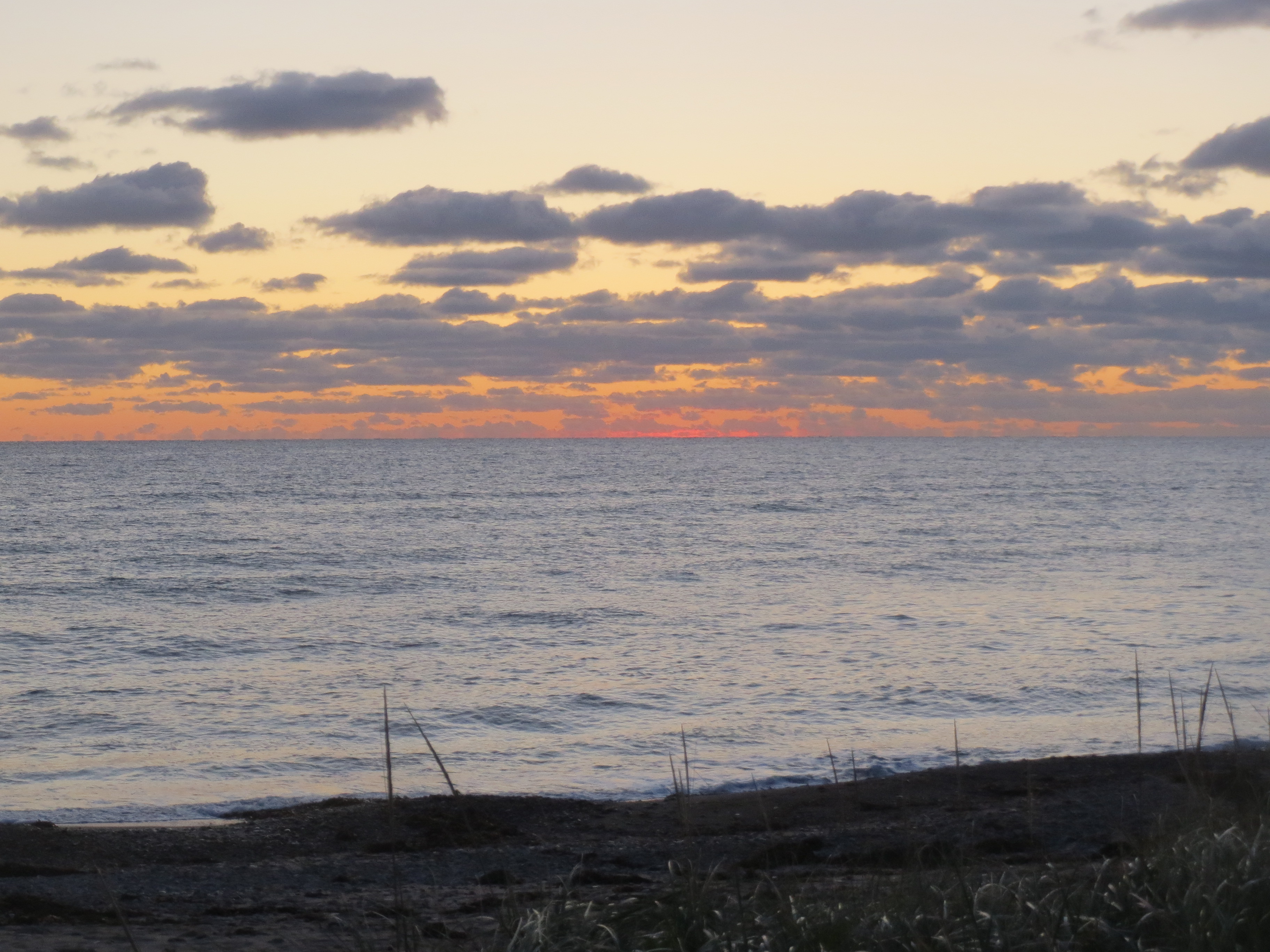
sunrise with beach |
sunrise south view |
sunrise panorama |
more sky |
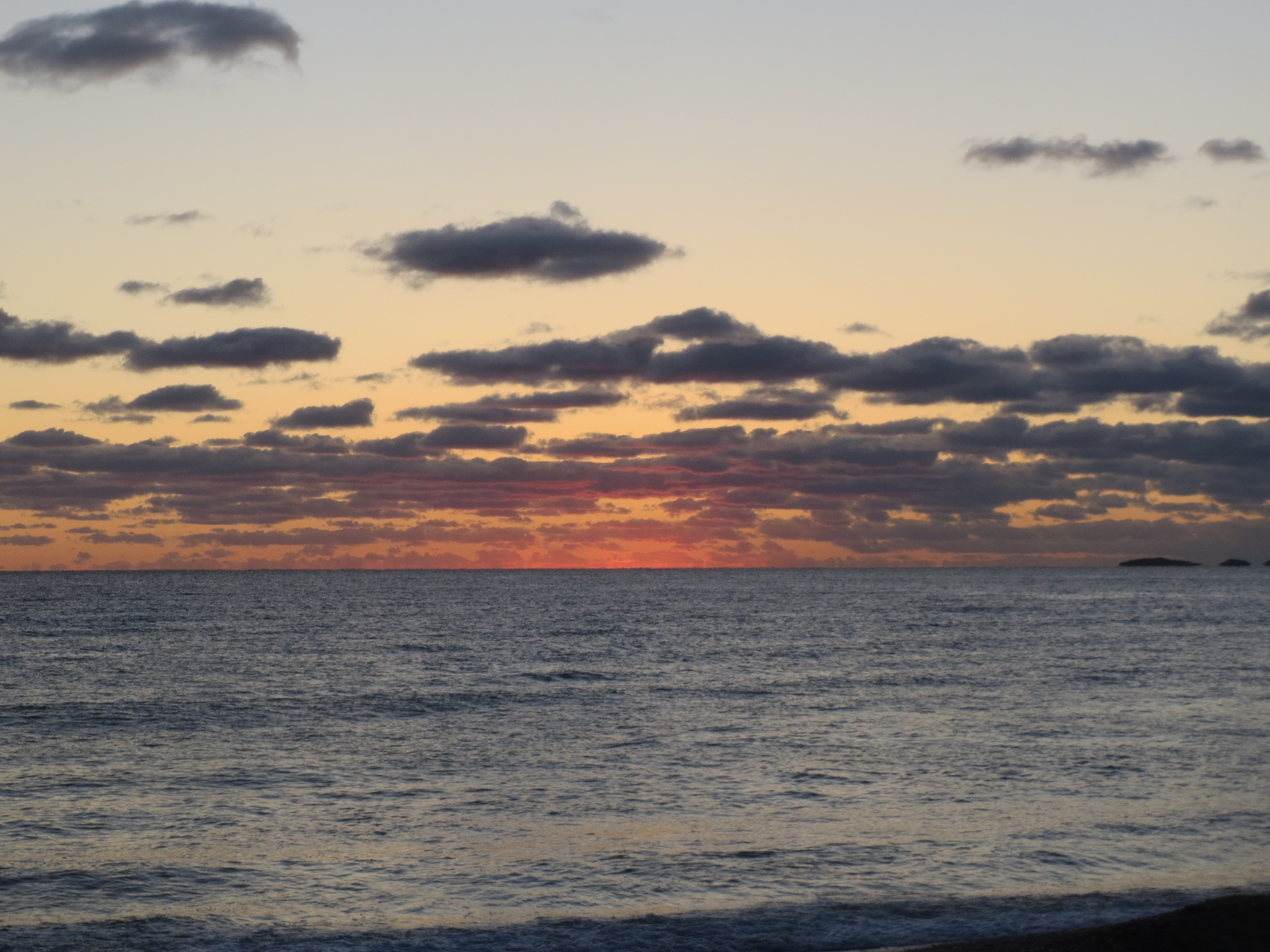
sky: the orangening |
south sunrise view |
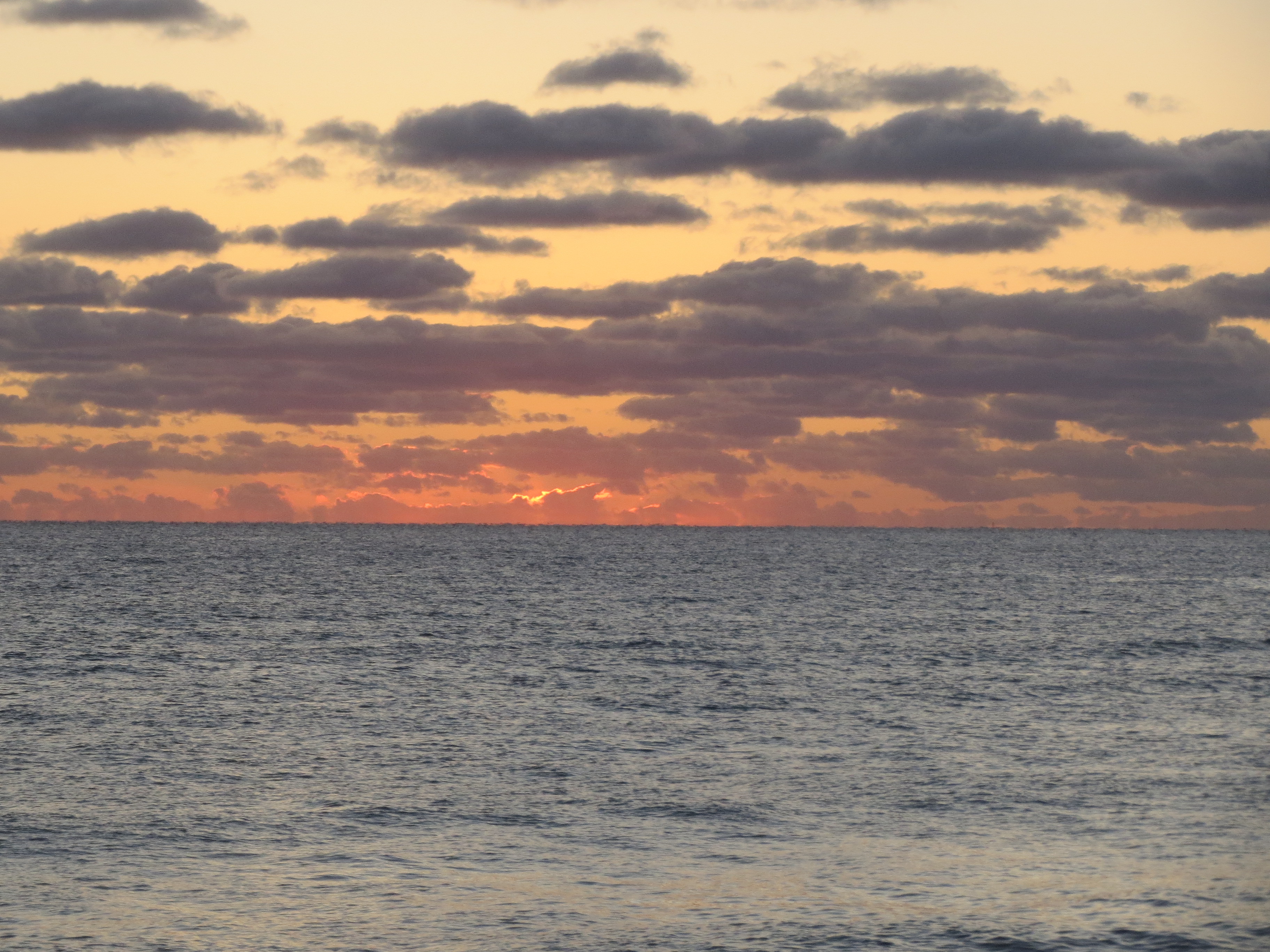
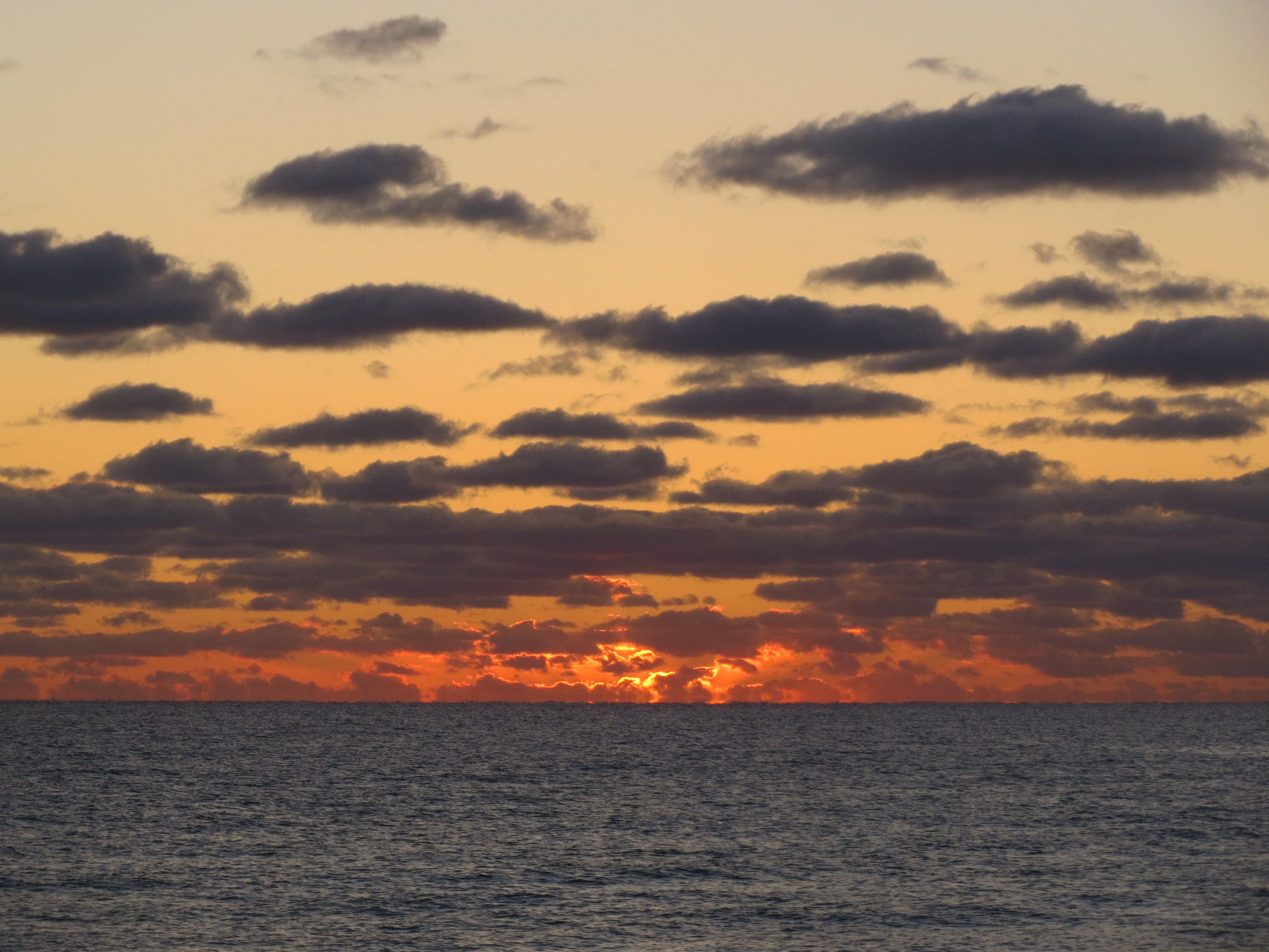
evidence of the actual sun, behind a cloud |
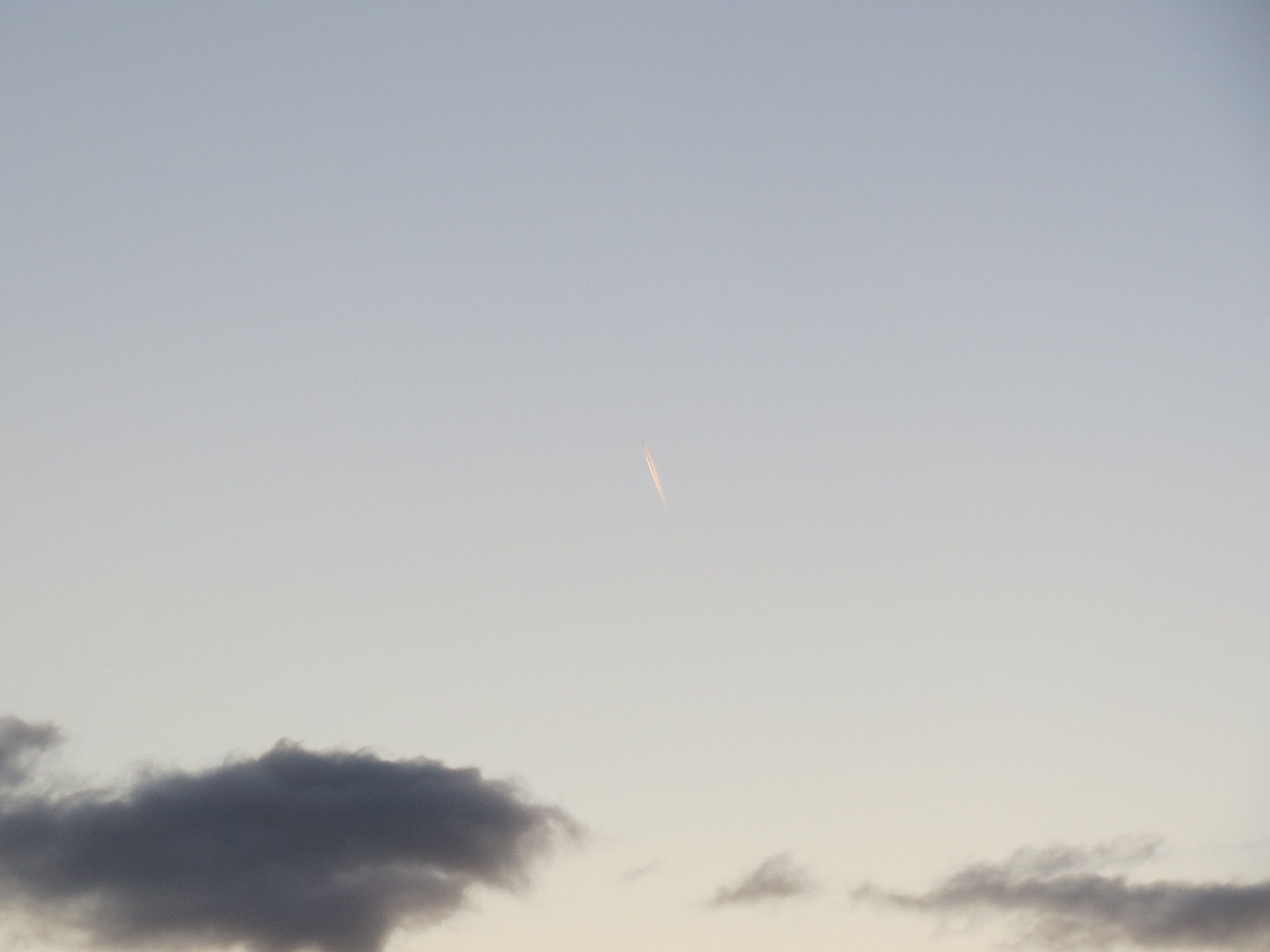
this is not the sun, it is an airplane trail |
sun |
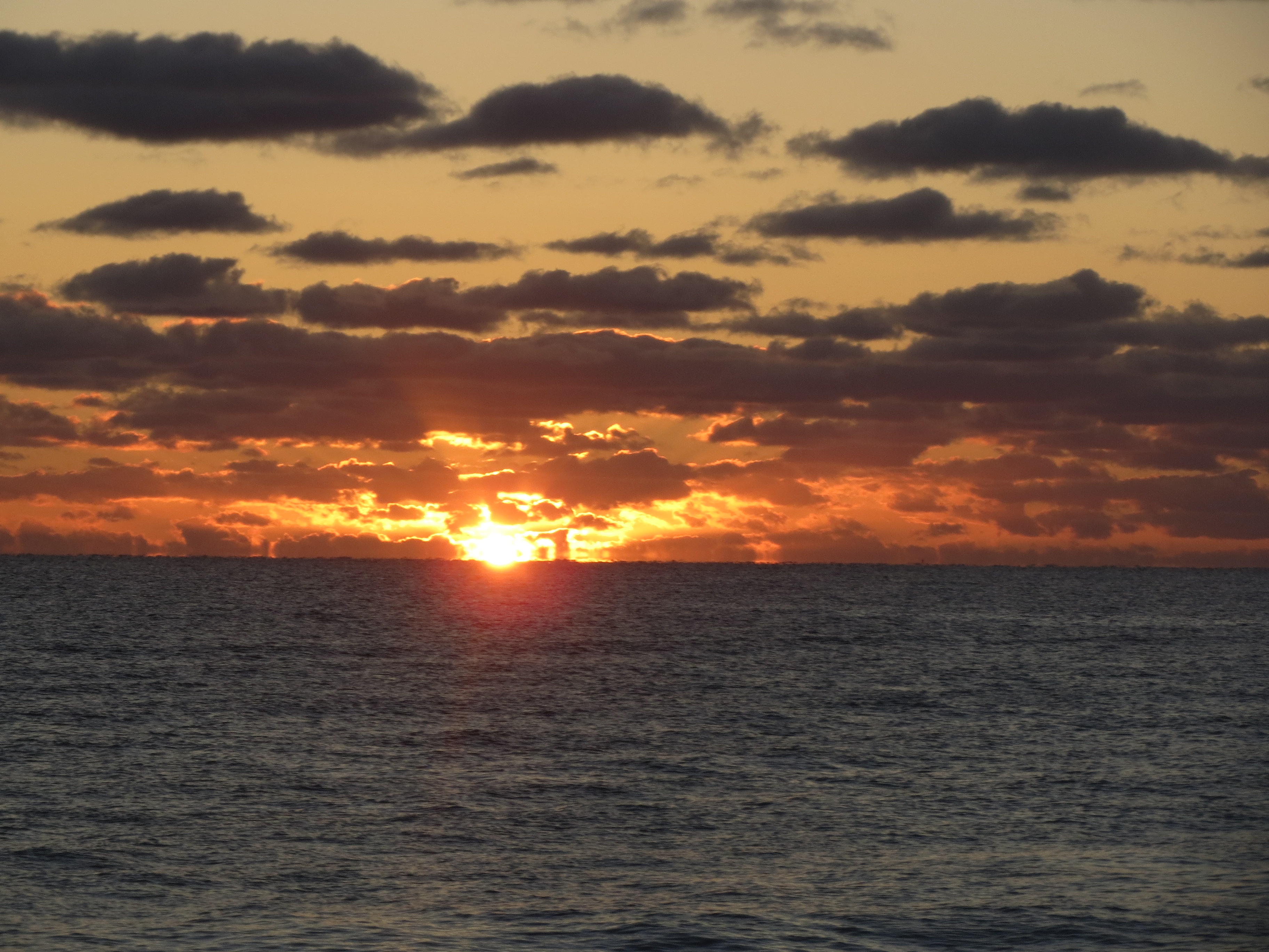
for real this time, the sun |
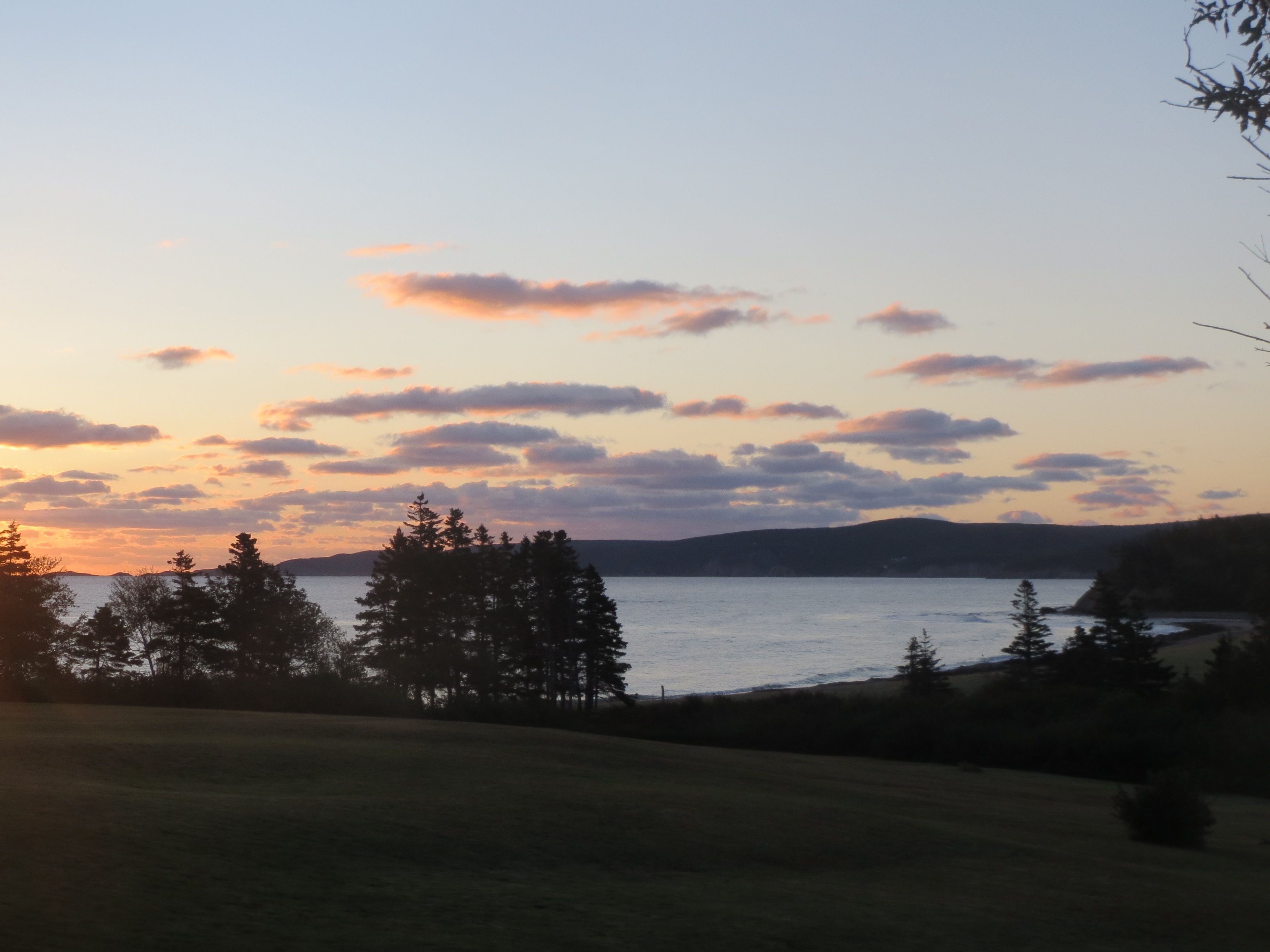
and some clouds, and that's a wrap; breakfast time |
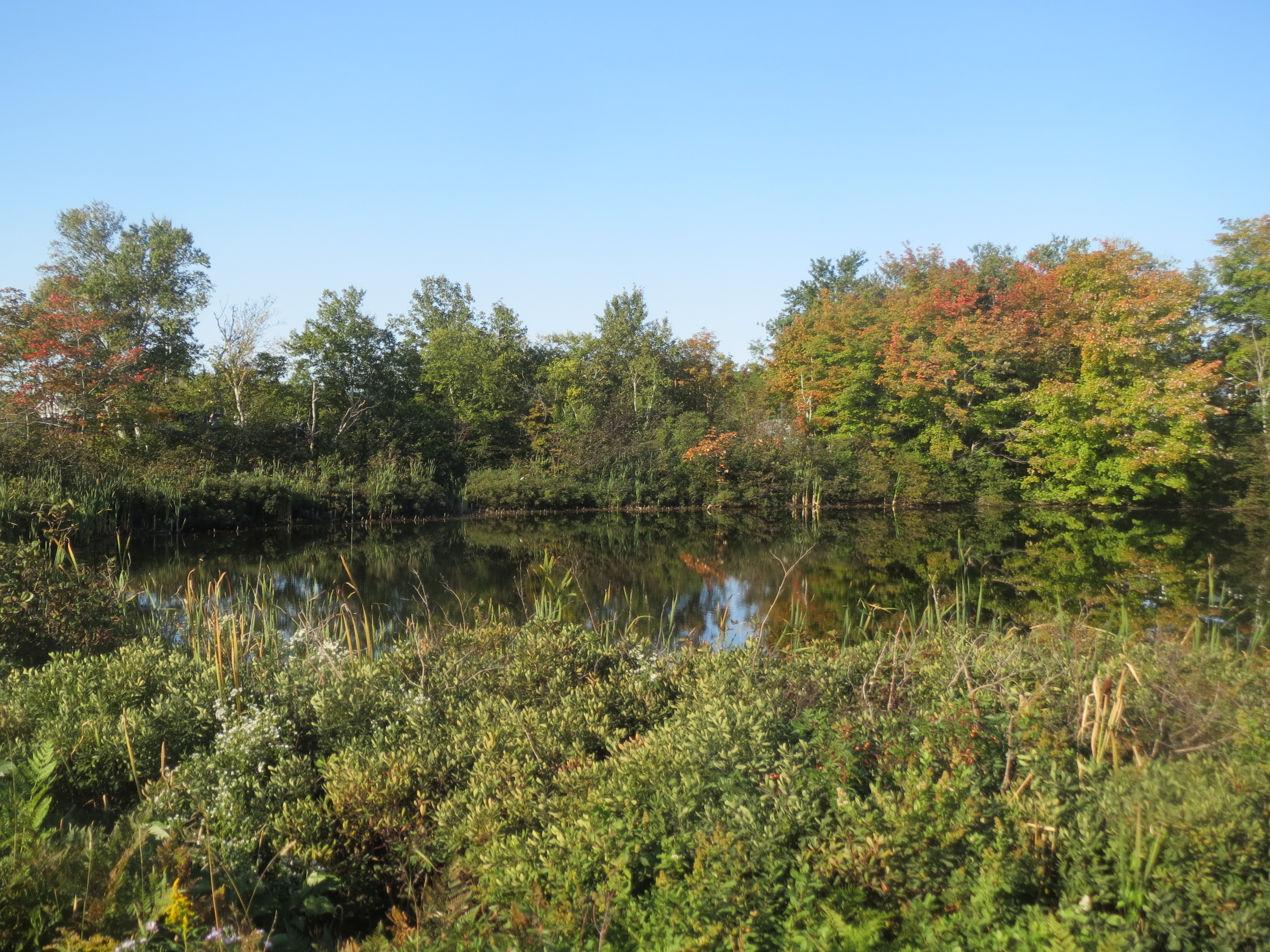
sporadic fall colors and a very reflective lake |
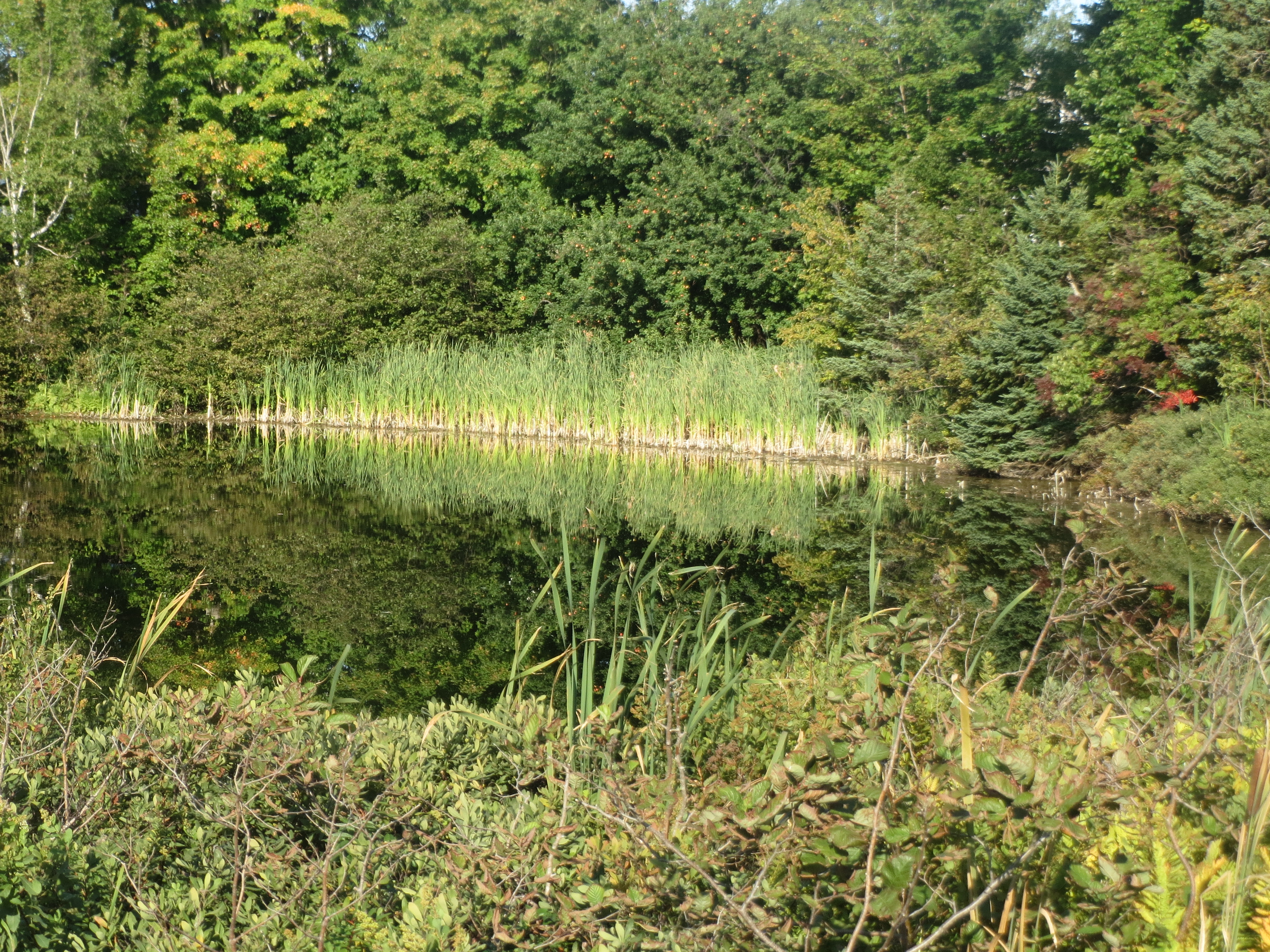
more reflective lake, or the soundcloud logo, one or the other |
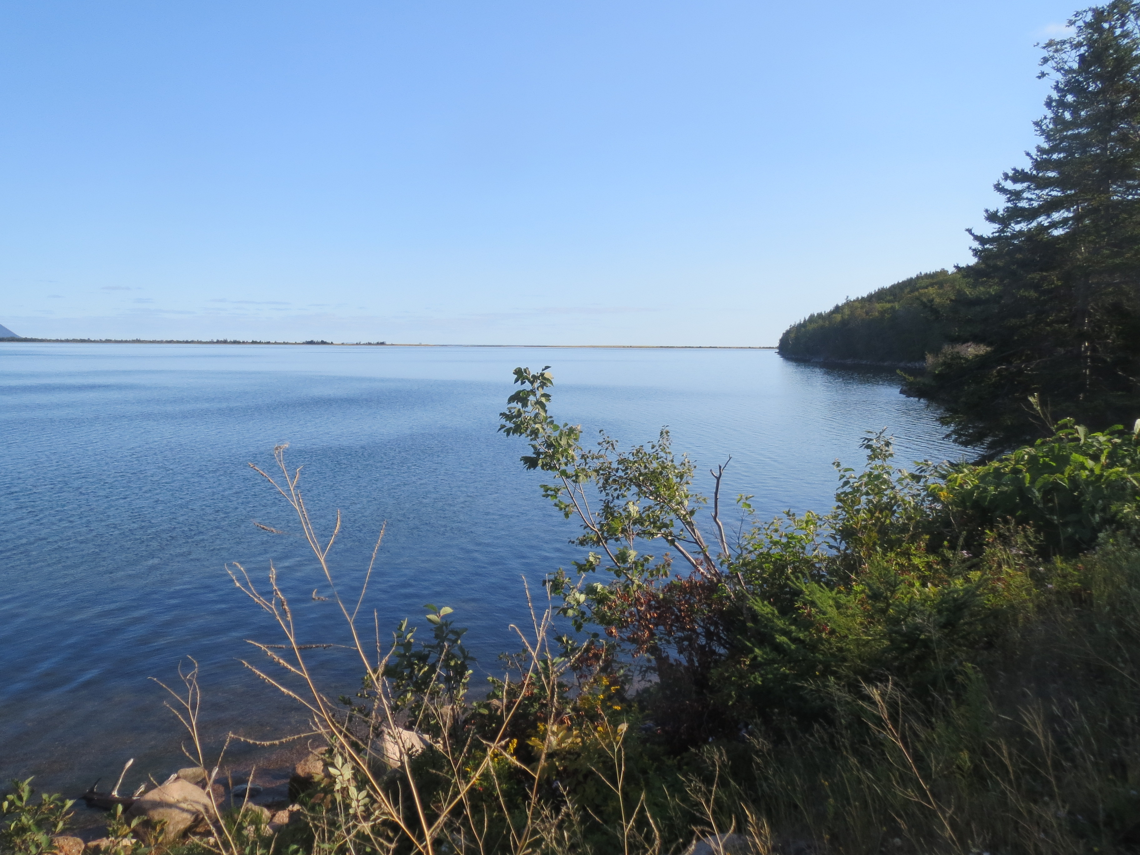
turning onto White Point Rd, we see the water again |
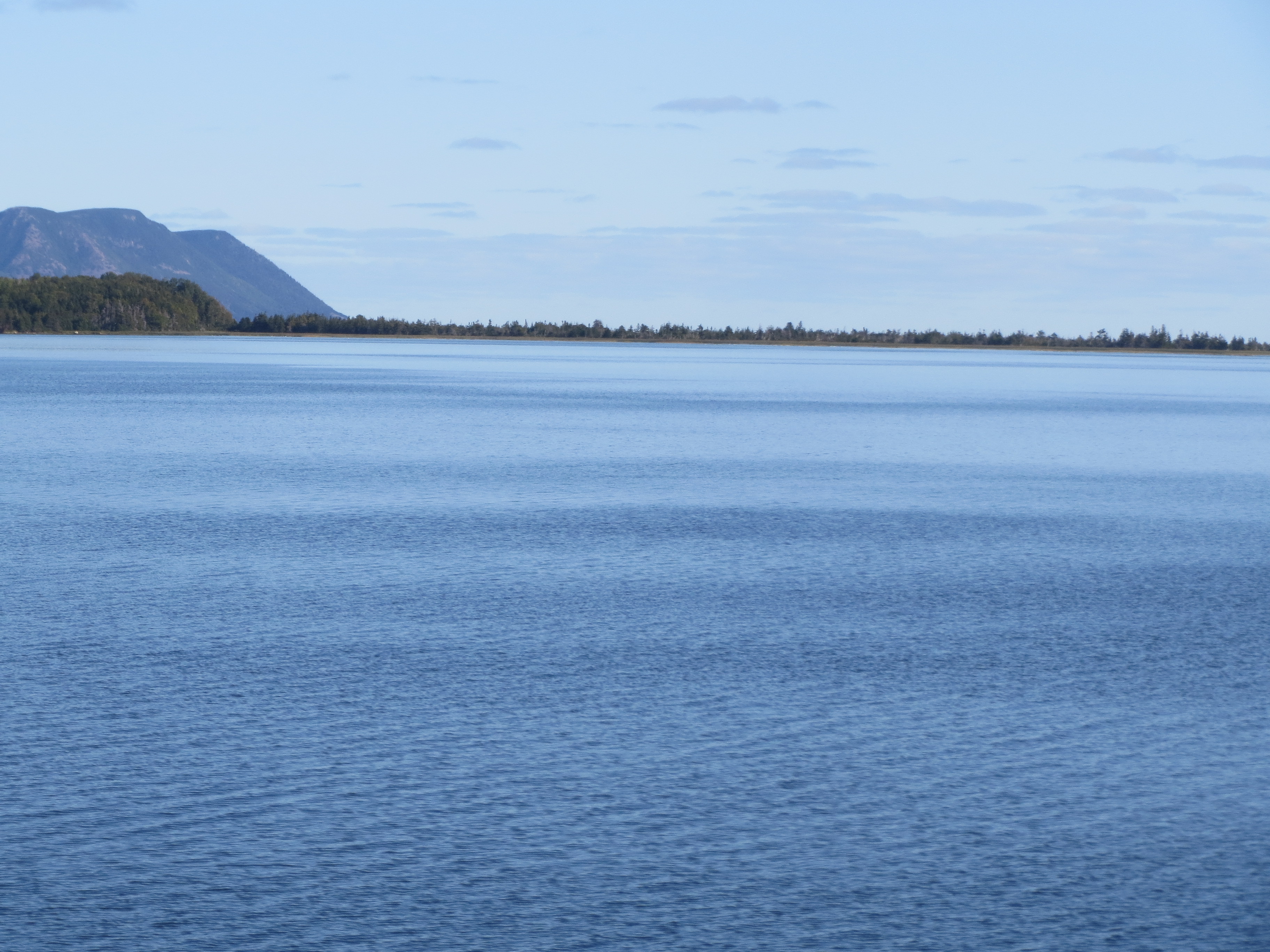
this is the southern end of the same sandbar in front of Dingwall |
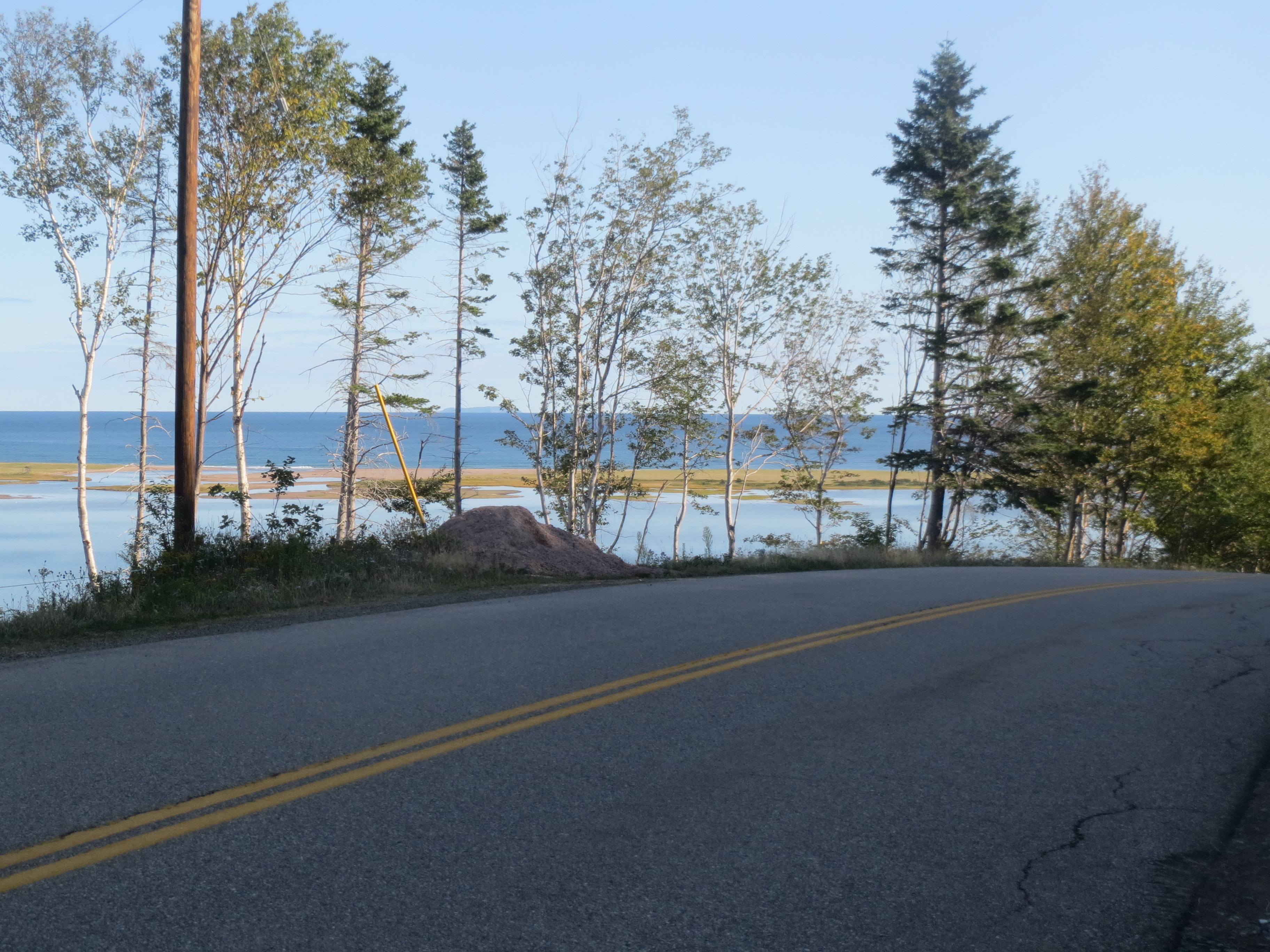
more sandbar |
sandbar view making it clear that we're looking at the same point we've been seeing from Dingwall for the past two days |
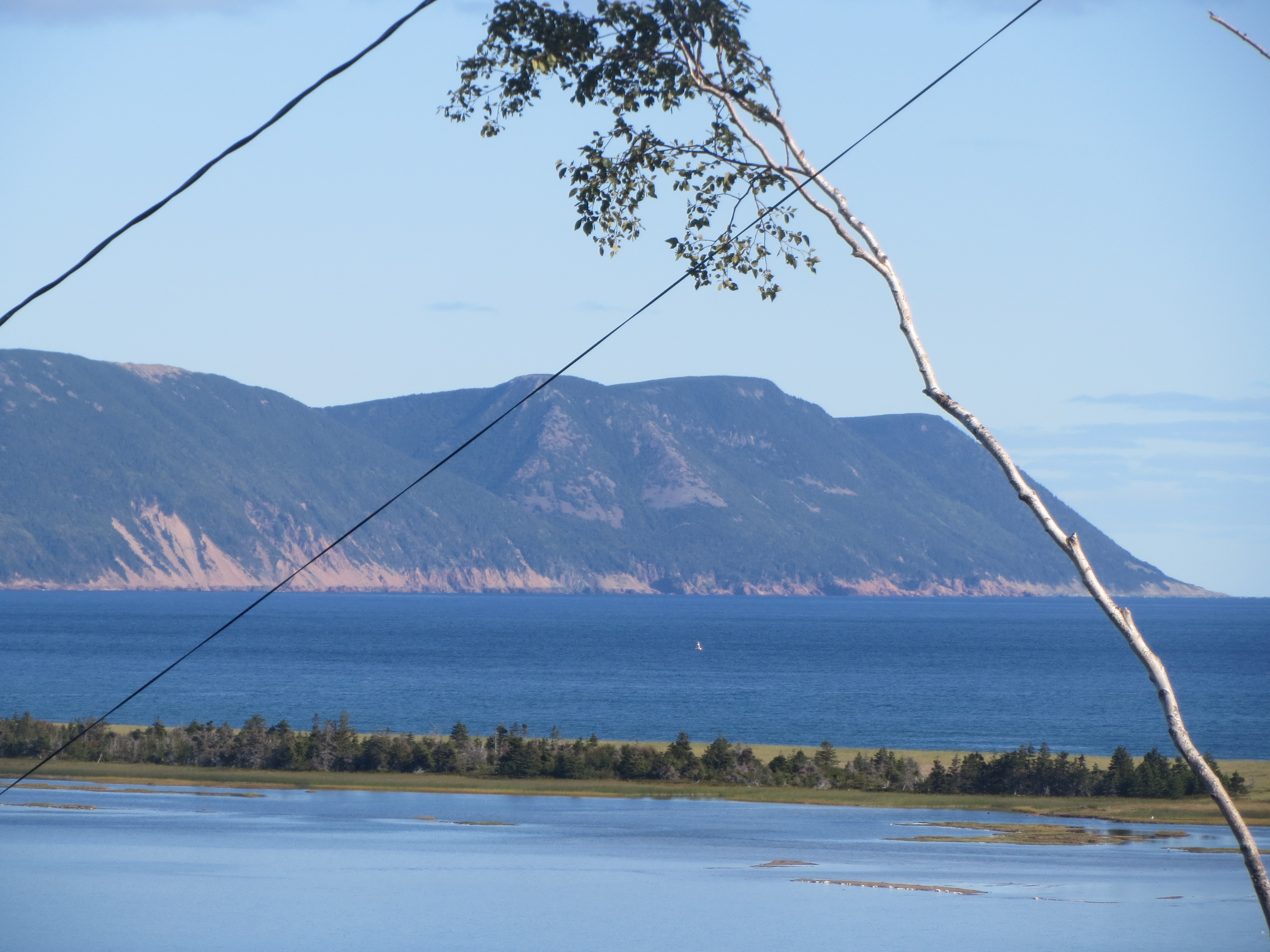
one last shot of that point while we still can |
houses on a point ahead |
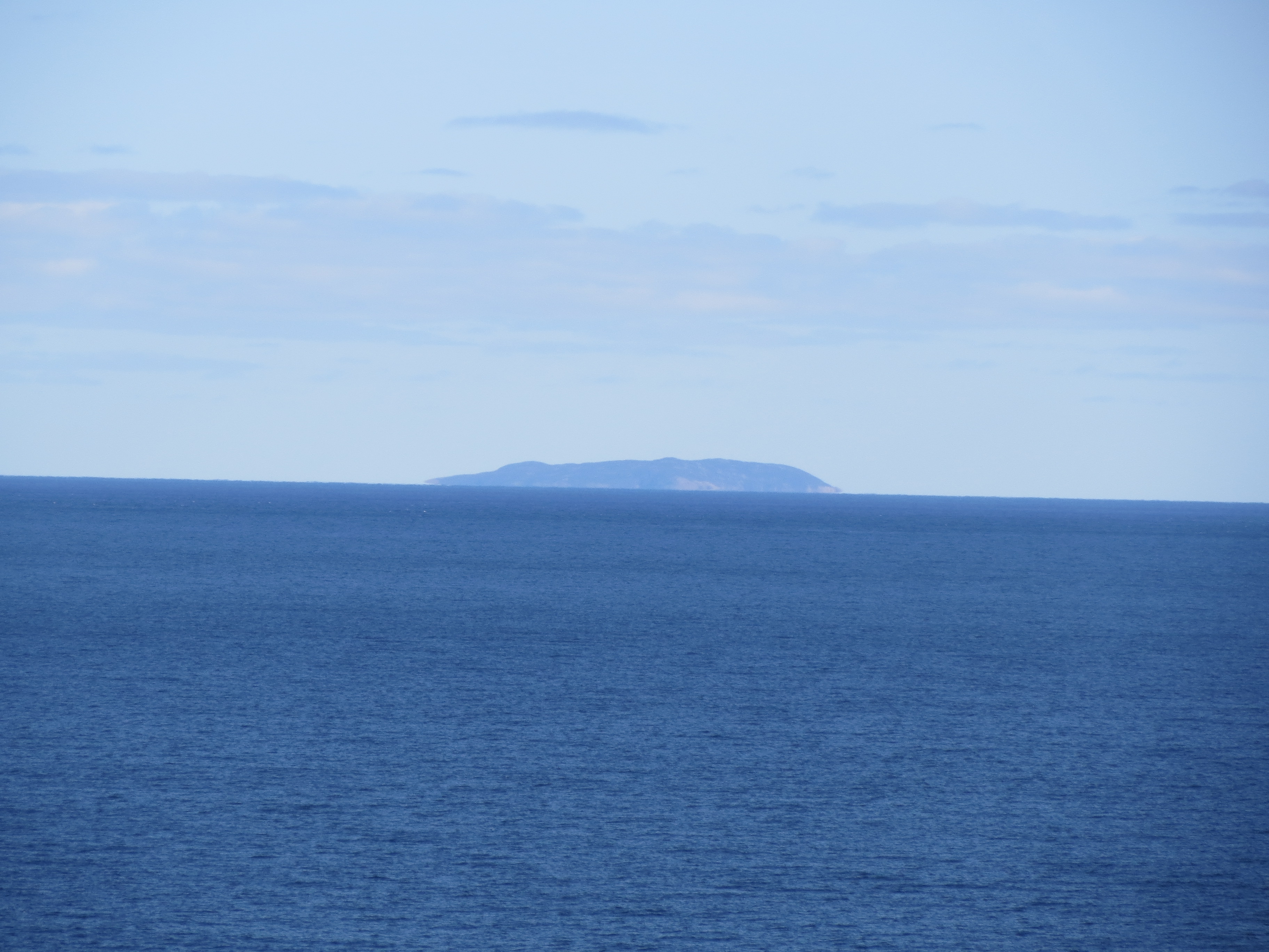
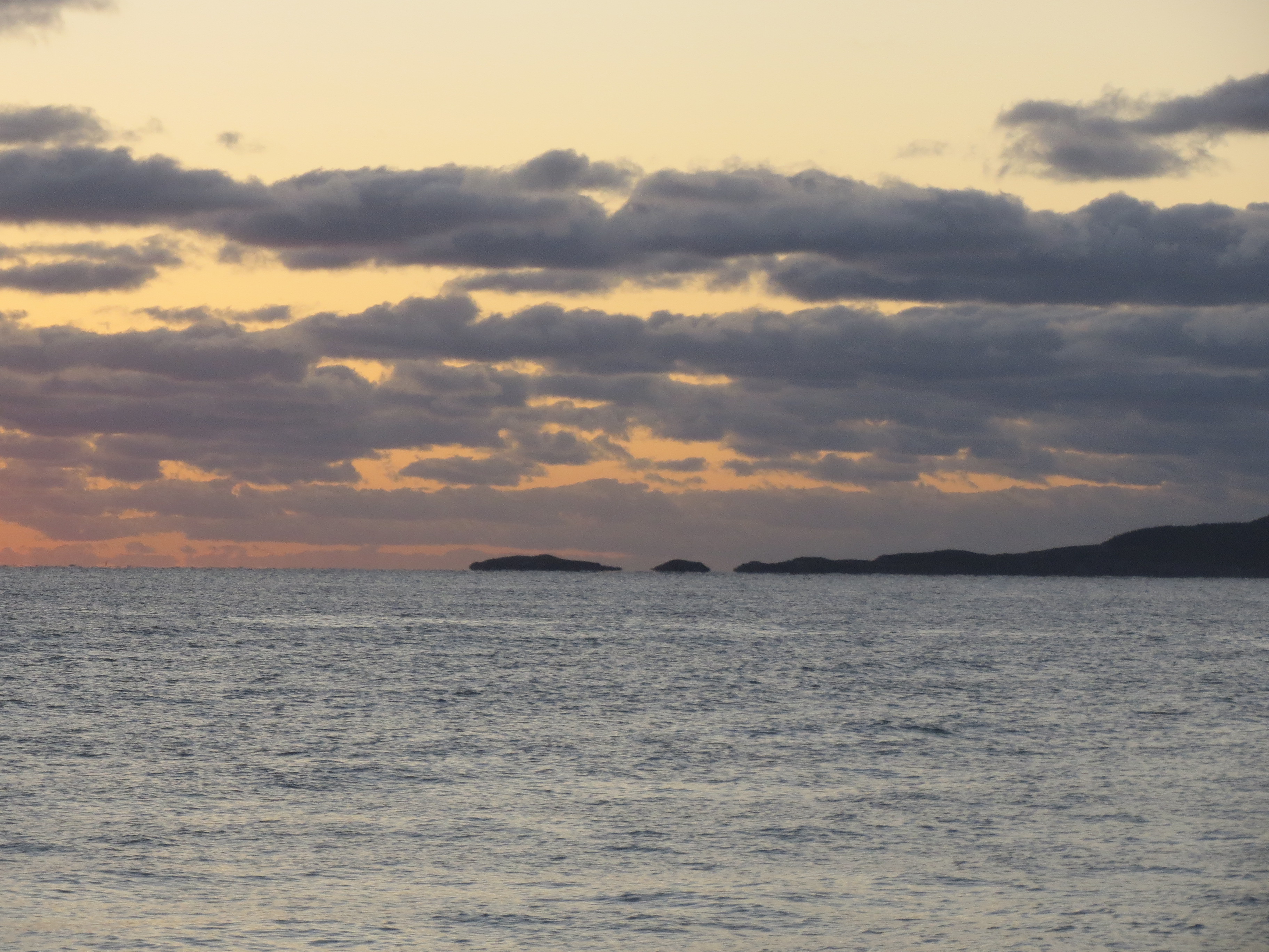
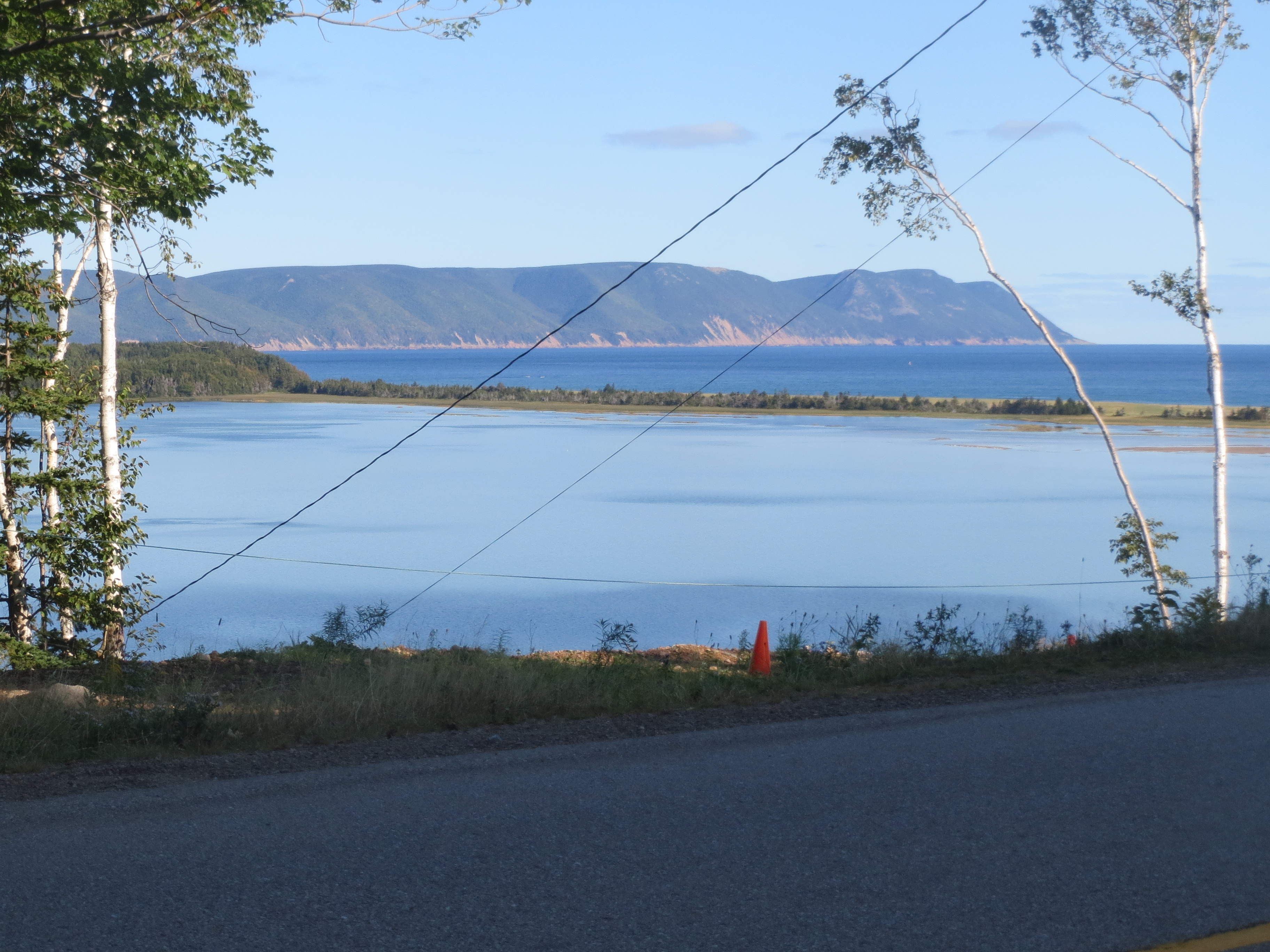
islands are everywhere! This one has to be Saint Paul, right? |

looking back from White Point |

the road behind at White Point |
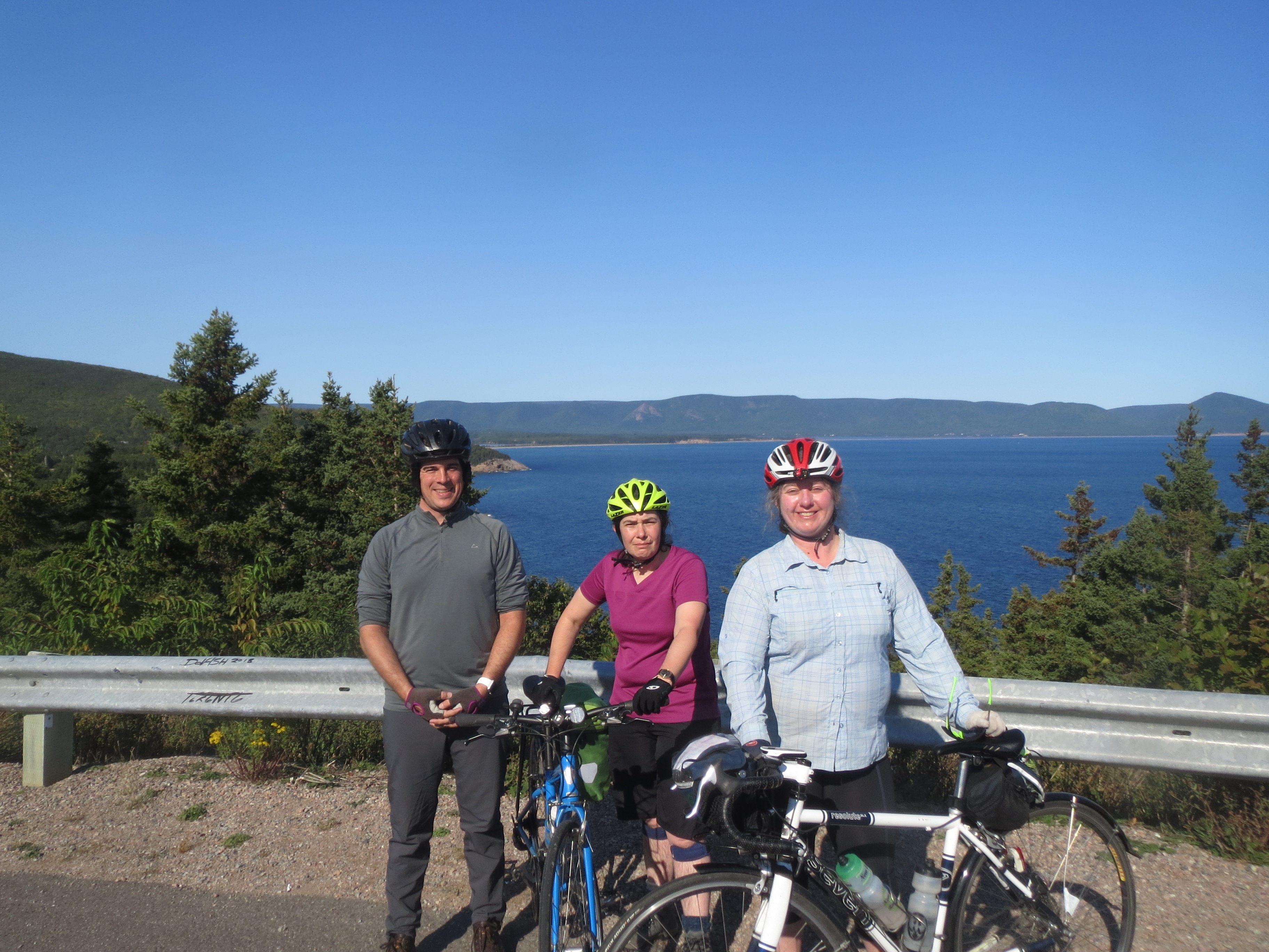
me, Sarah, and Scott at White Point |

the road ahead across White Point |

quite |
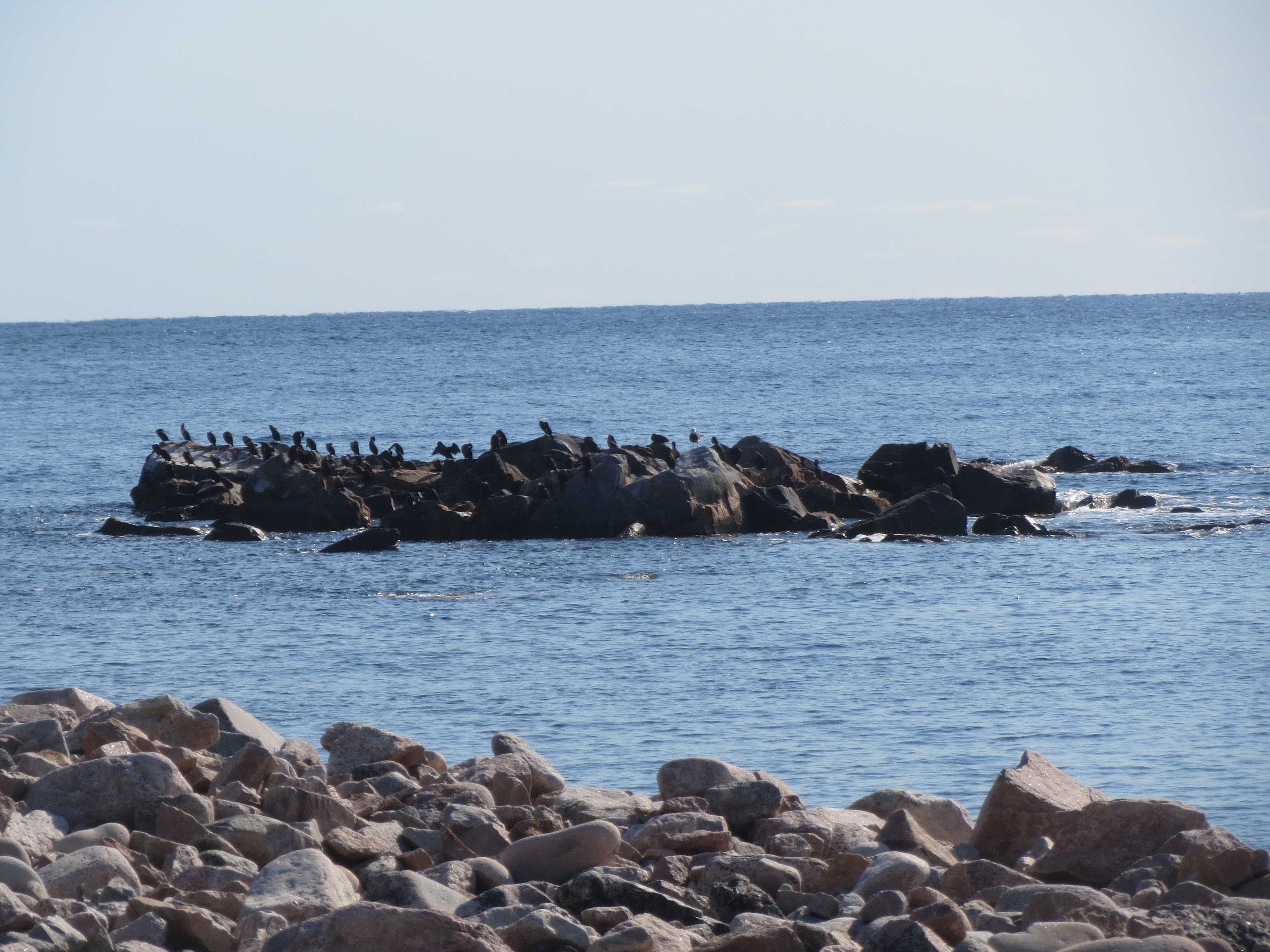
many birds on almost as many rocks |

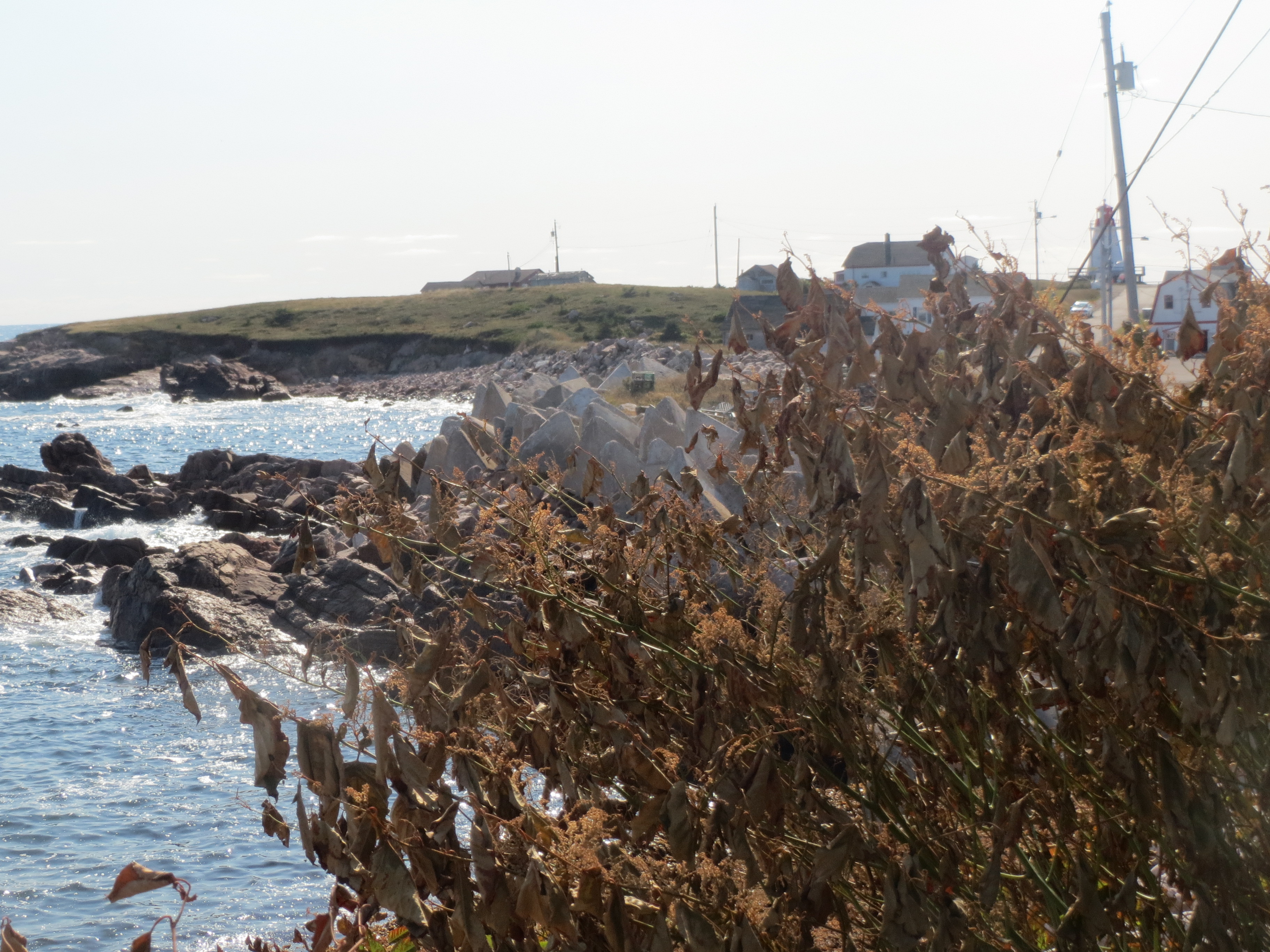
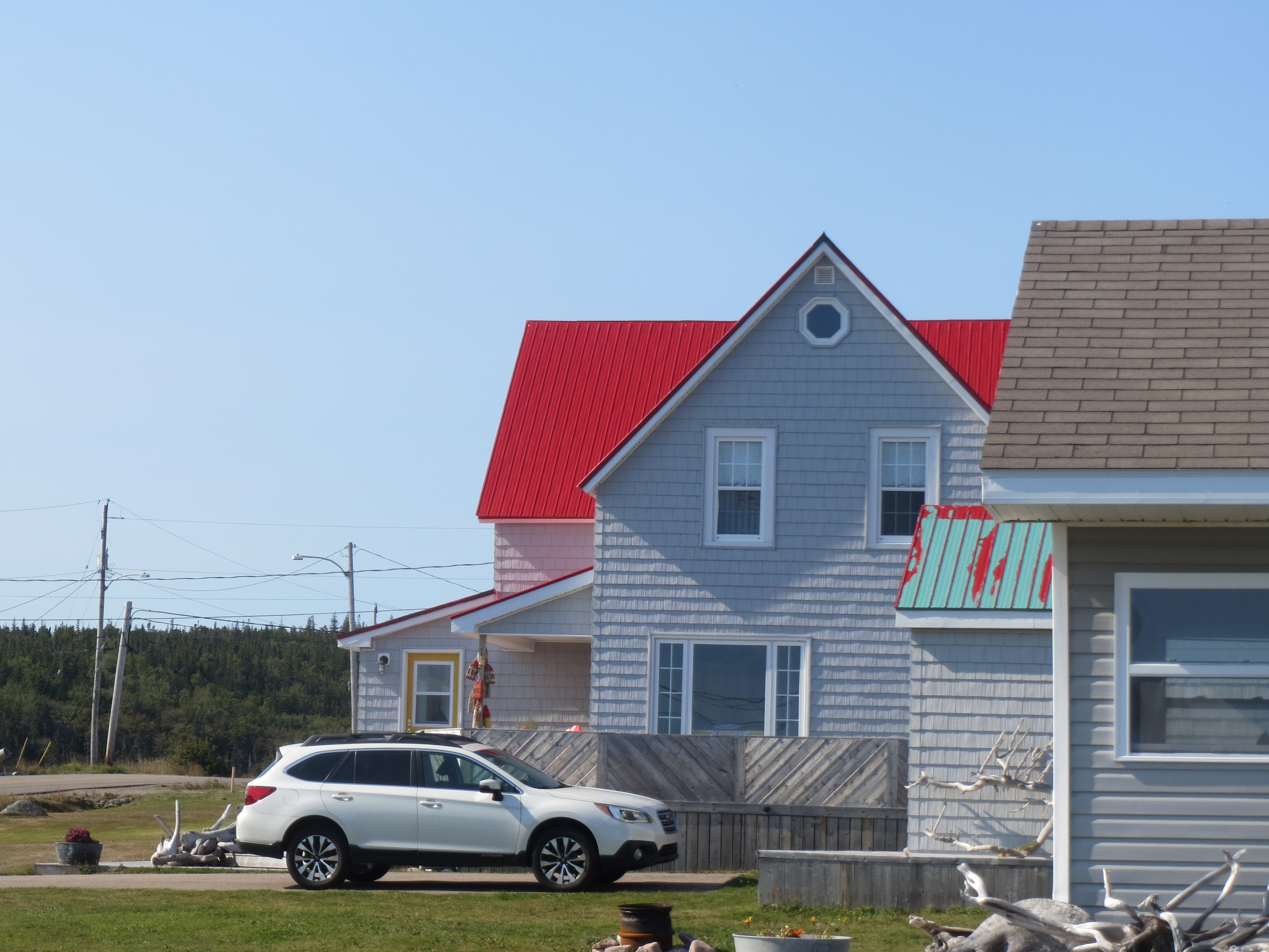
houses in New Haven Cove |
a whole lot of giant stone d4s |
more metal roofs |
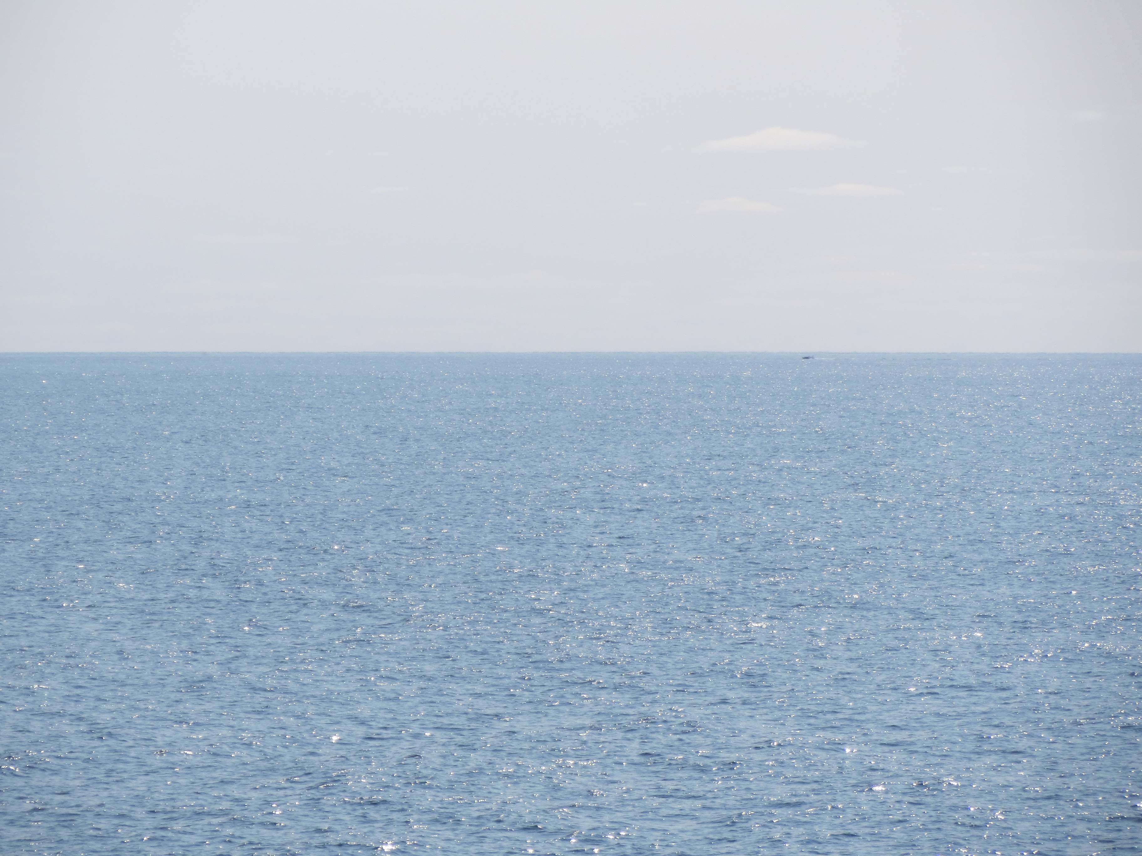
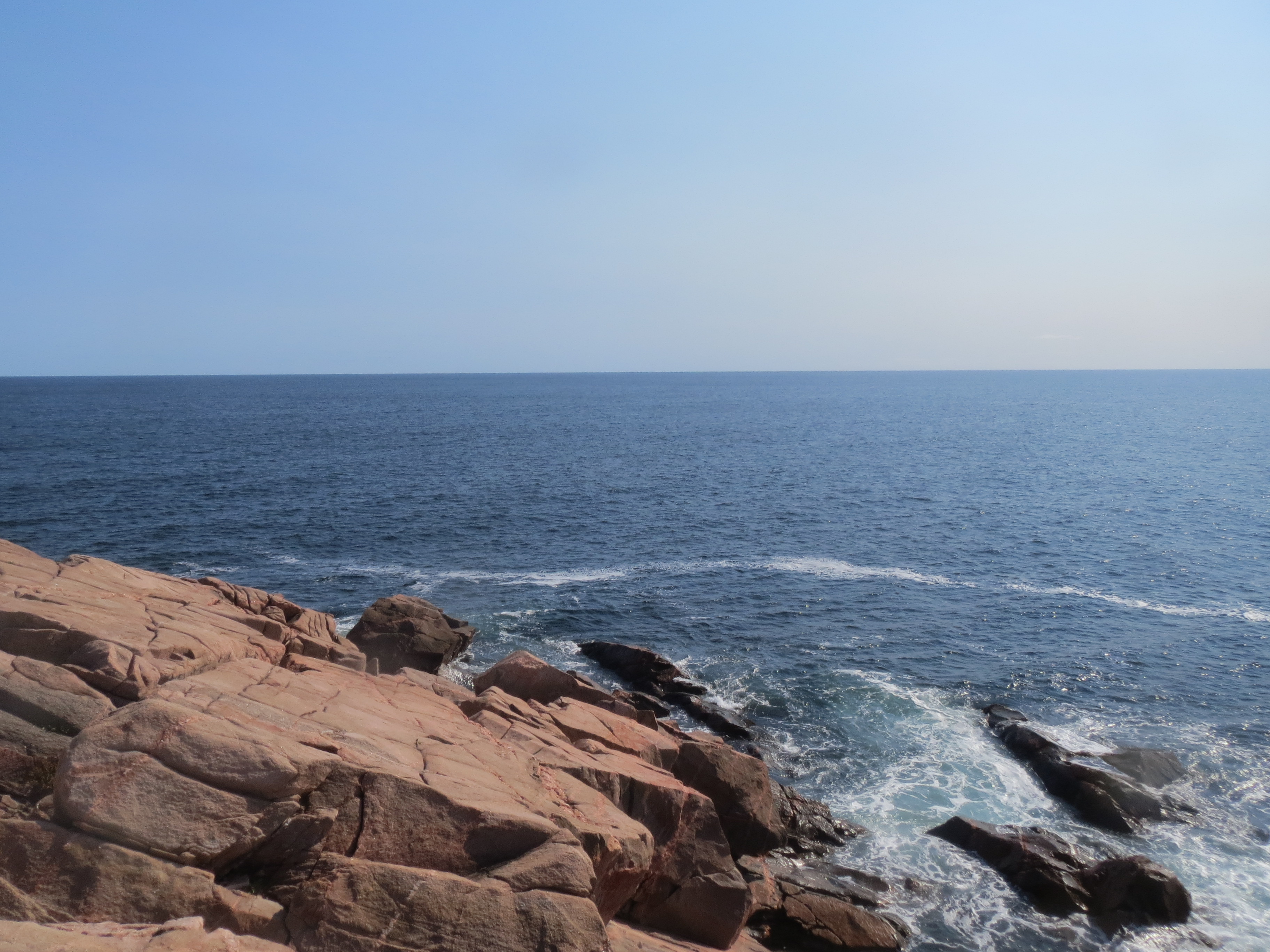
the ocean is big |
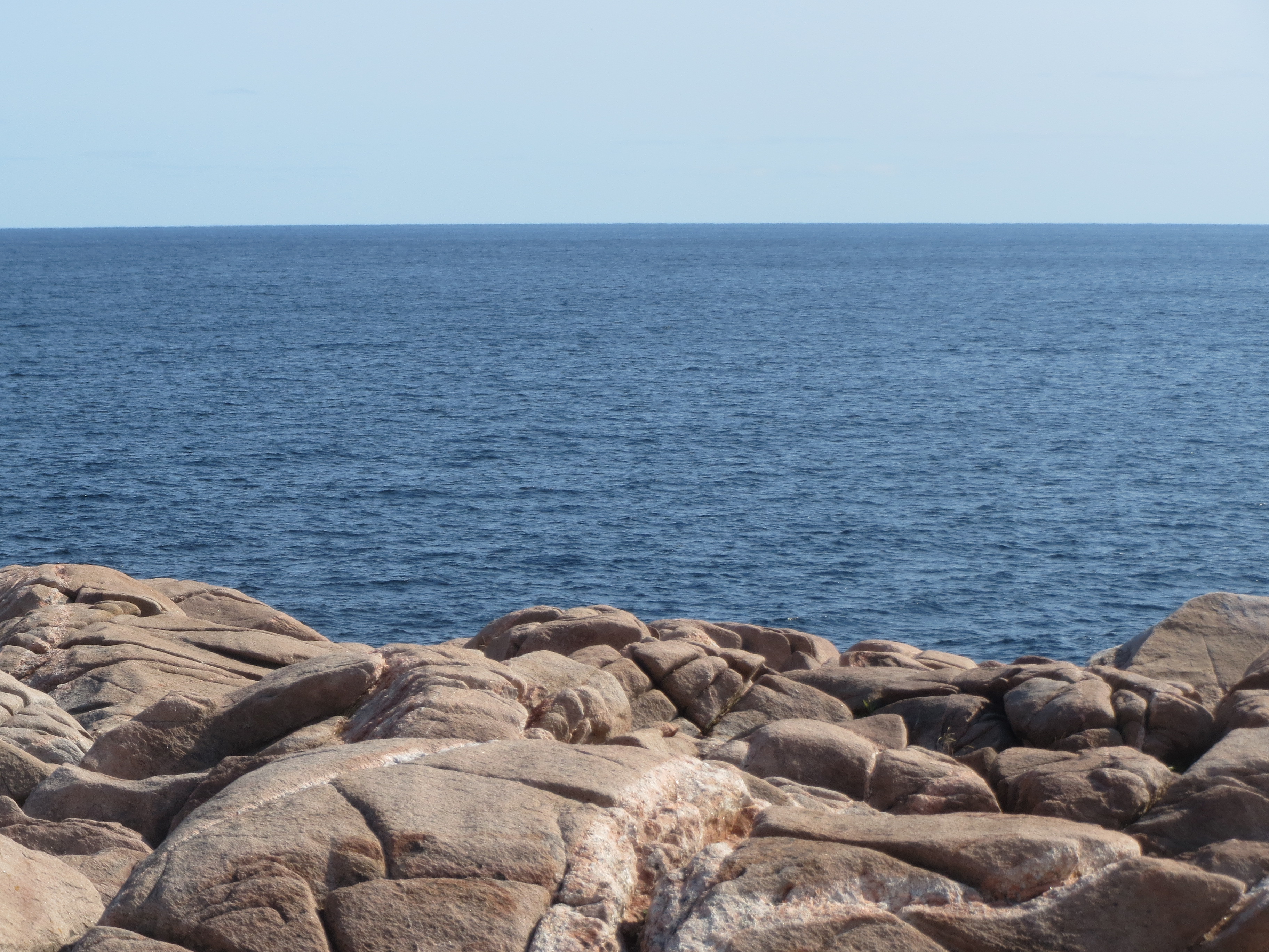
the ocean is still big when you're standing on rocks |
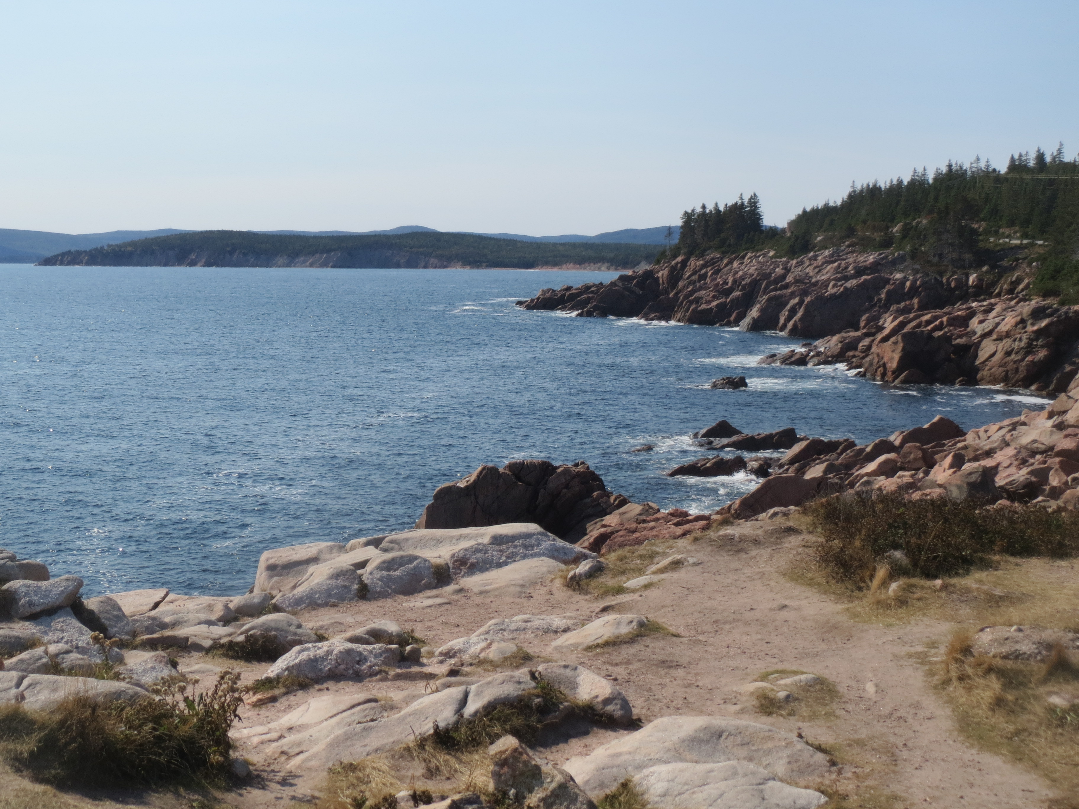
south along the coast |
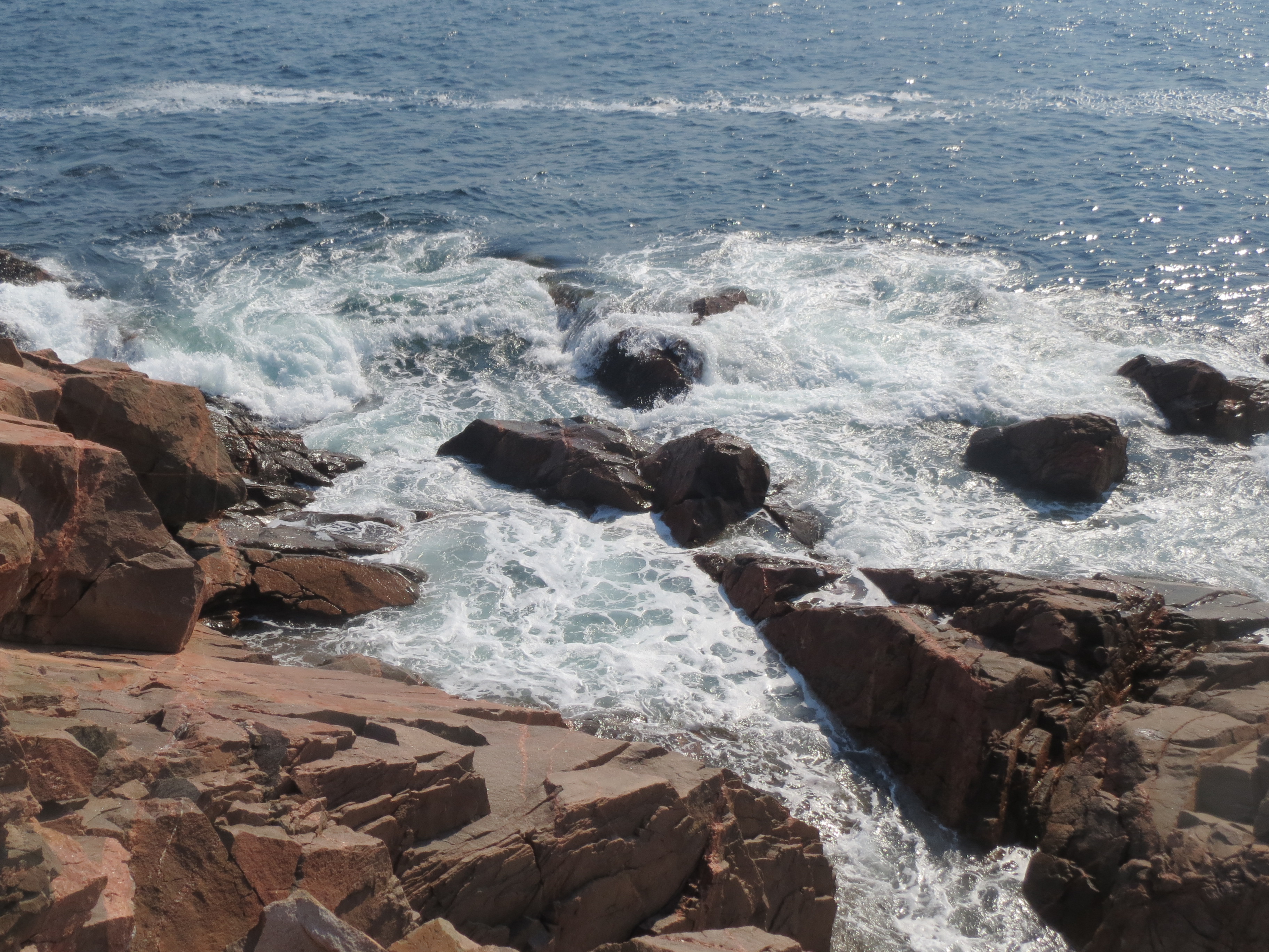
surf against rocks |
ocean, surf, rocks |

naturally occurring bolts |
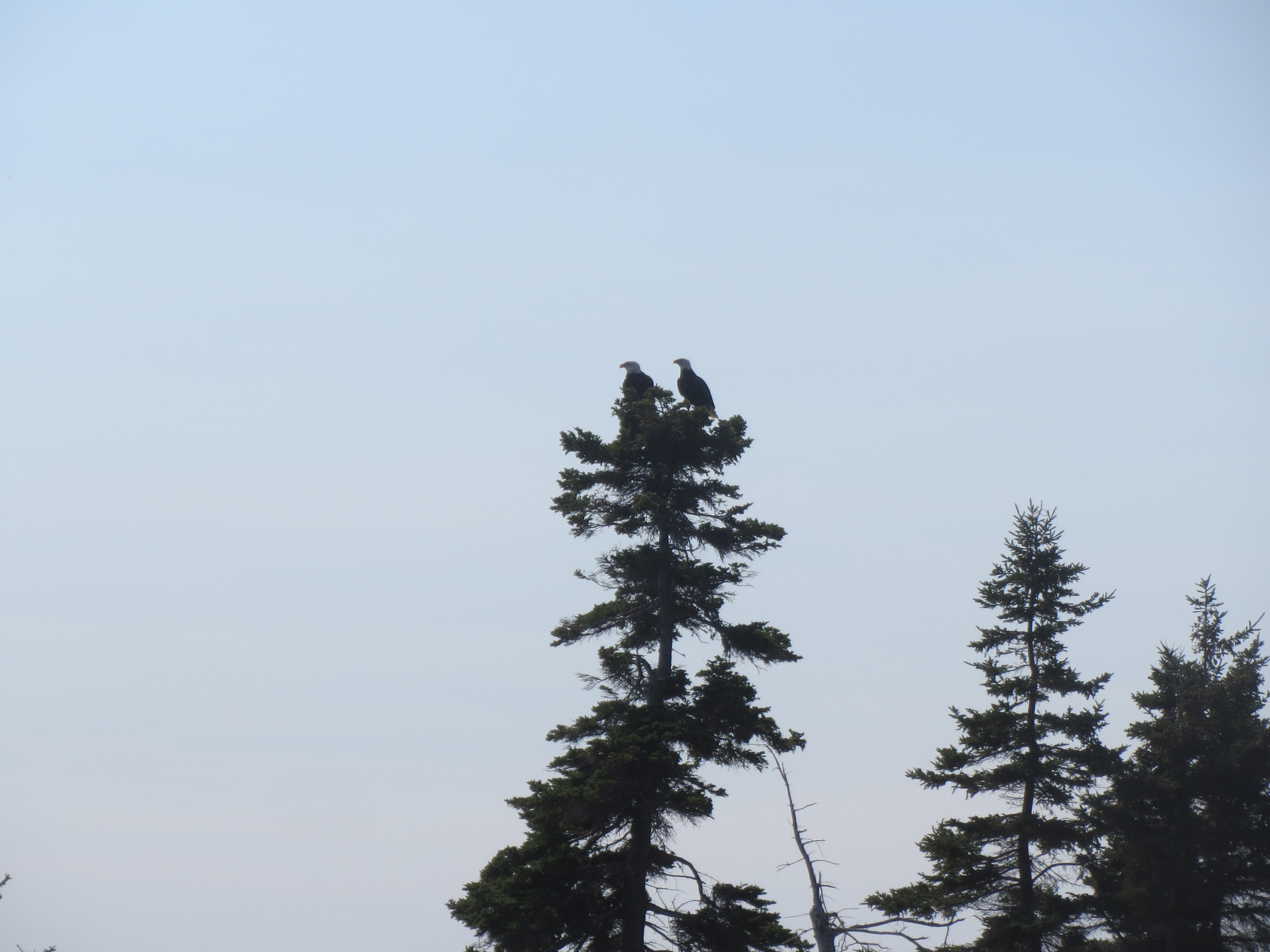
whoa, bald eagles |
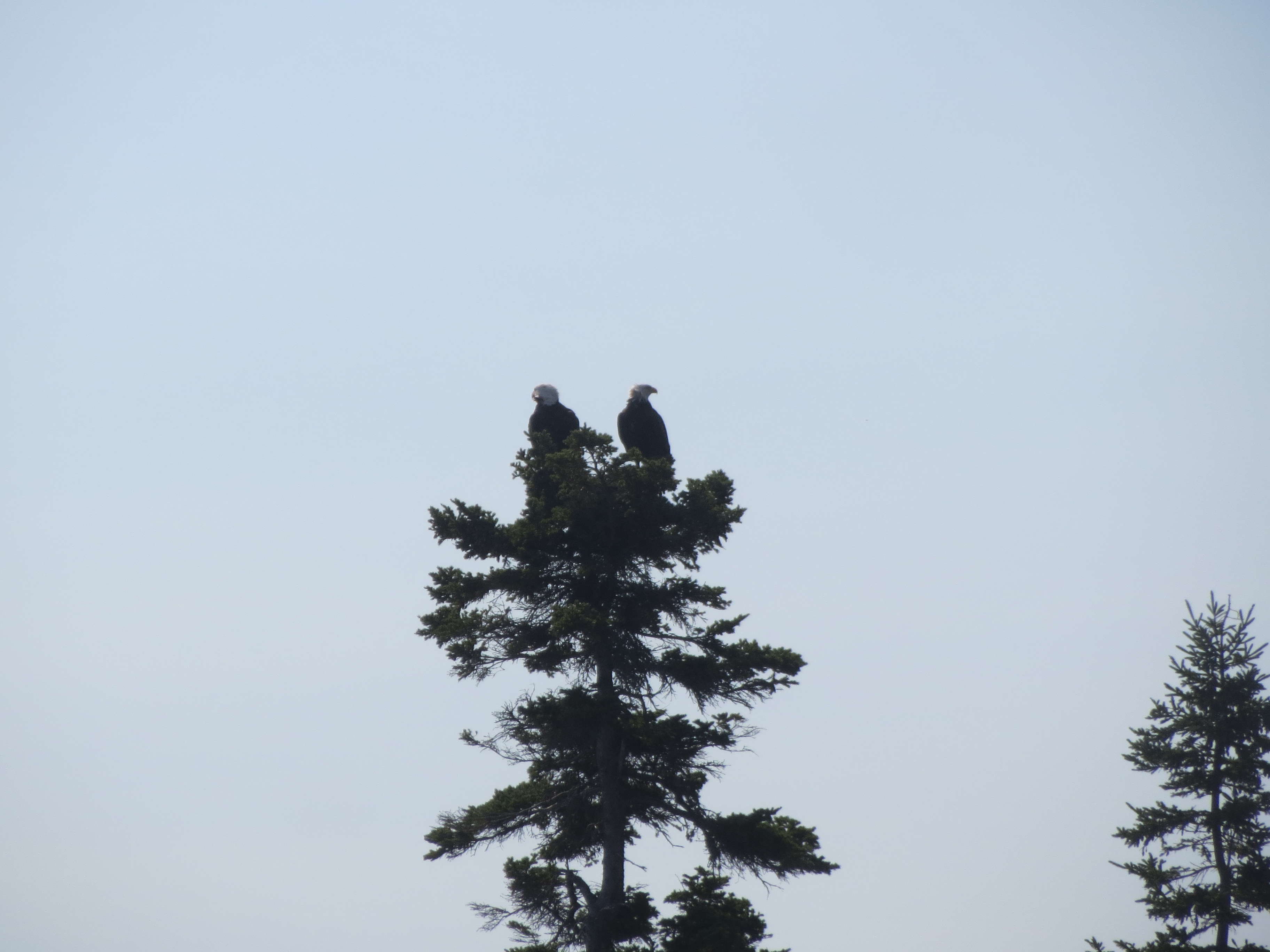
eagling away |
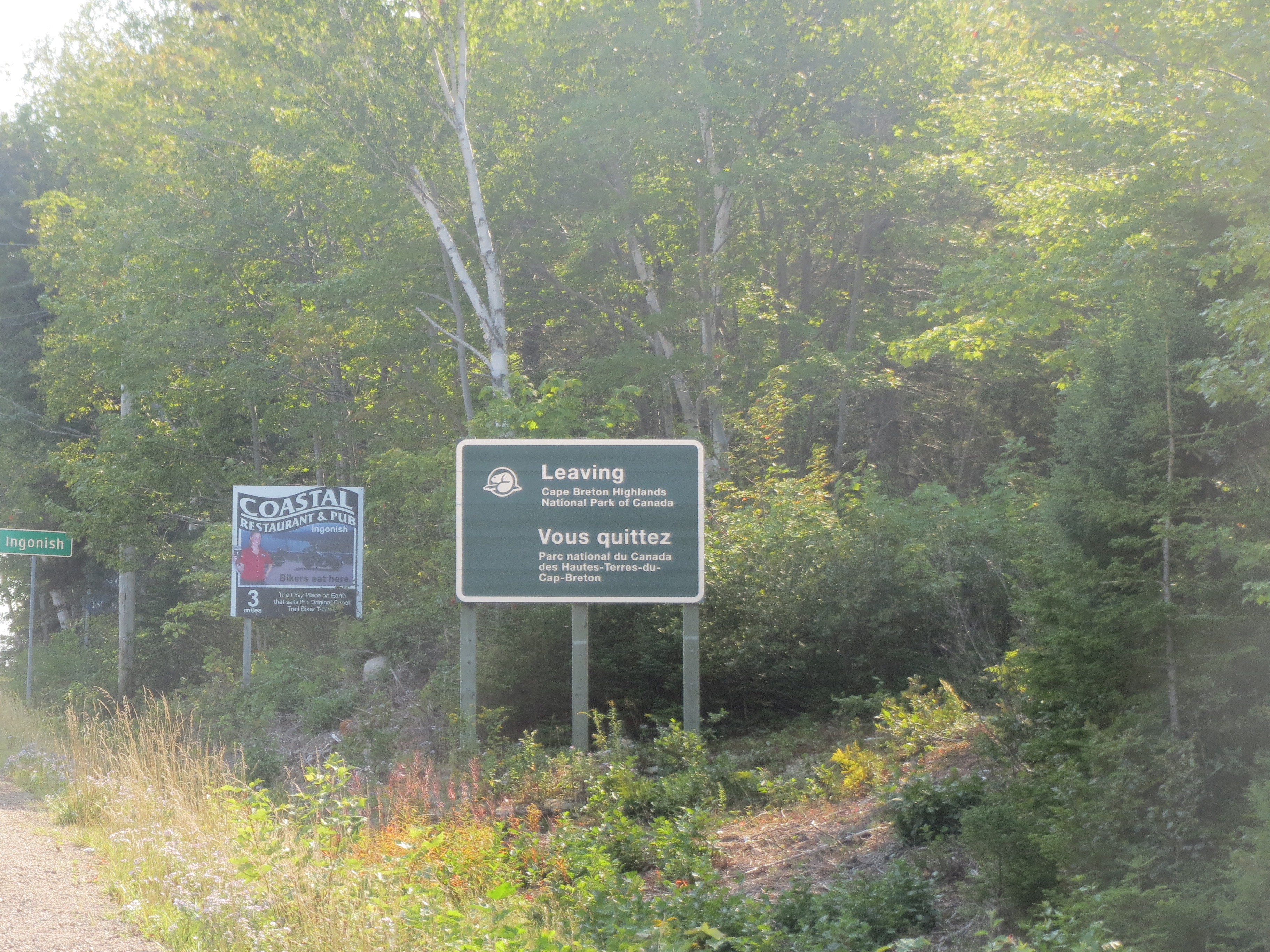
we've been in and out of the Cape Breton Highlands most of this week, but now we are leaving them headed south |
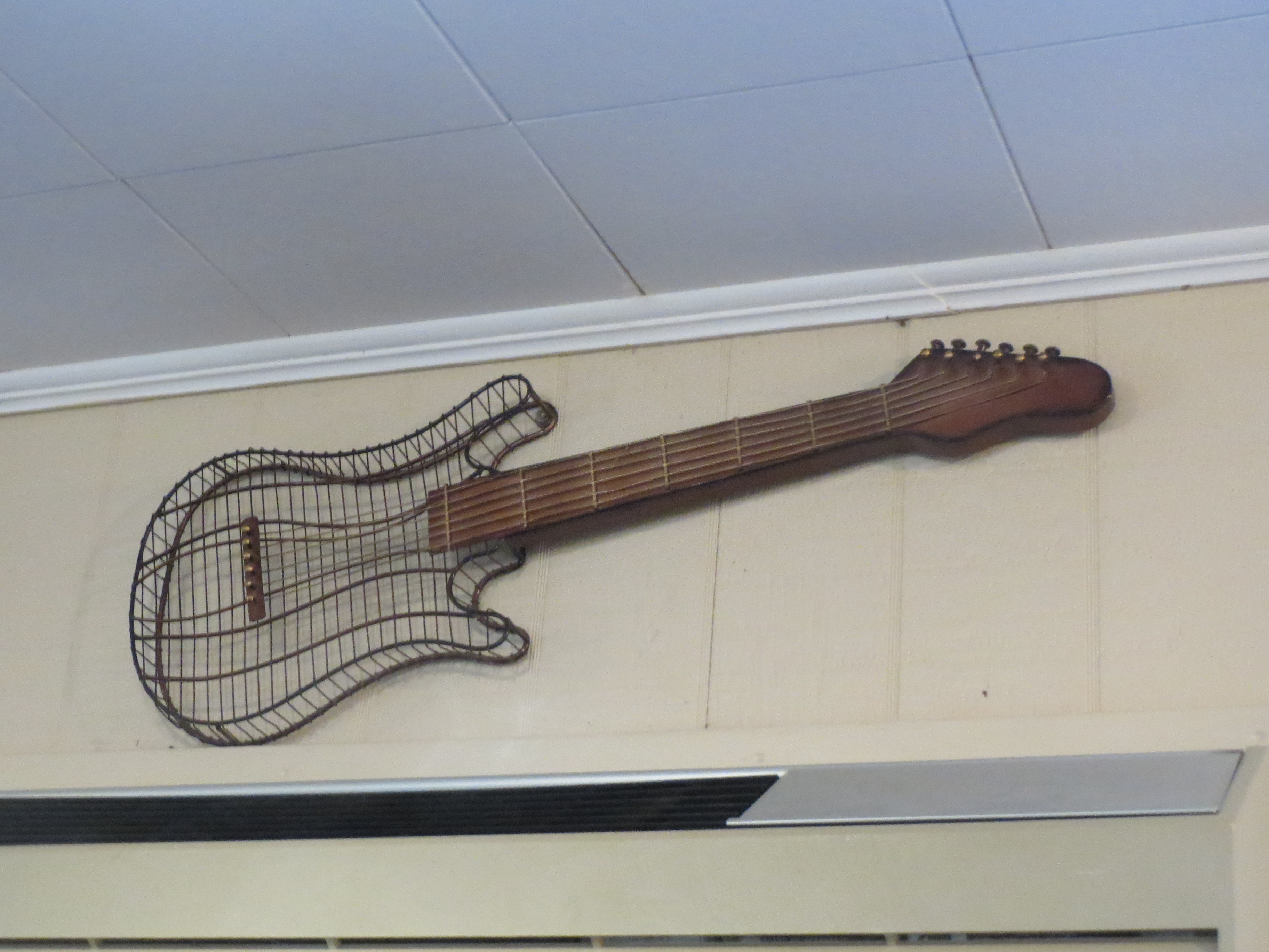
decoration at the Bean Barn Cafe, where we stopped for lunch |
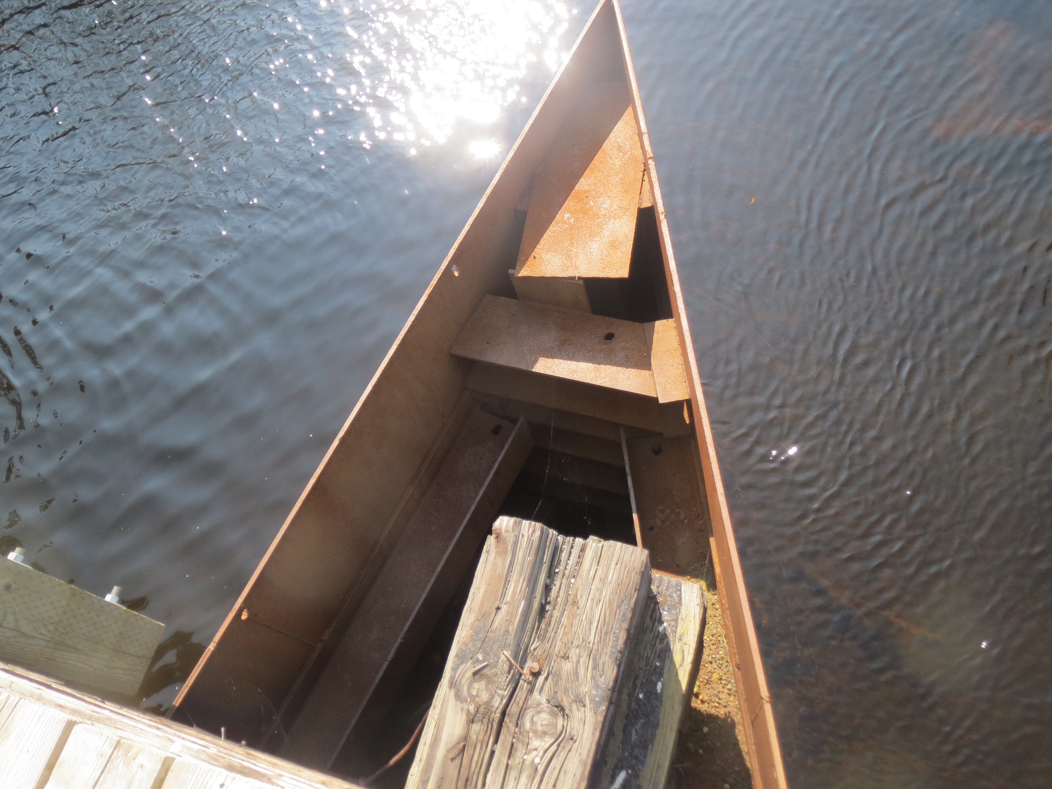
triangular bridge support |
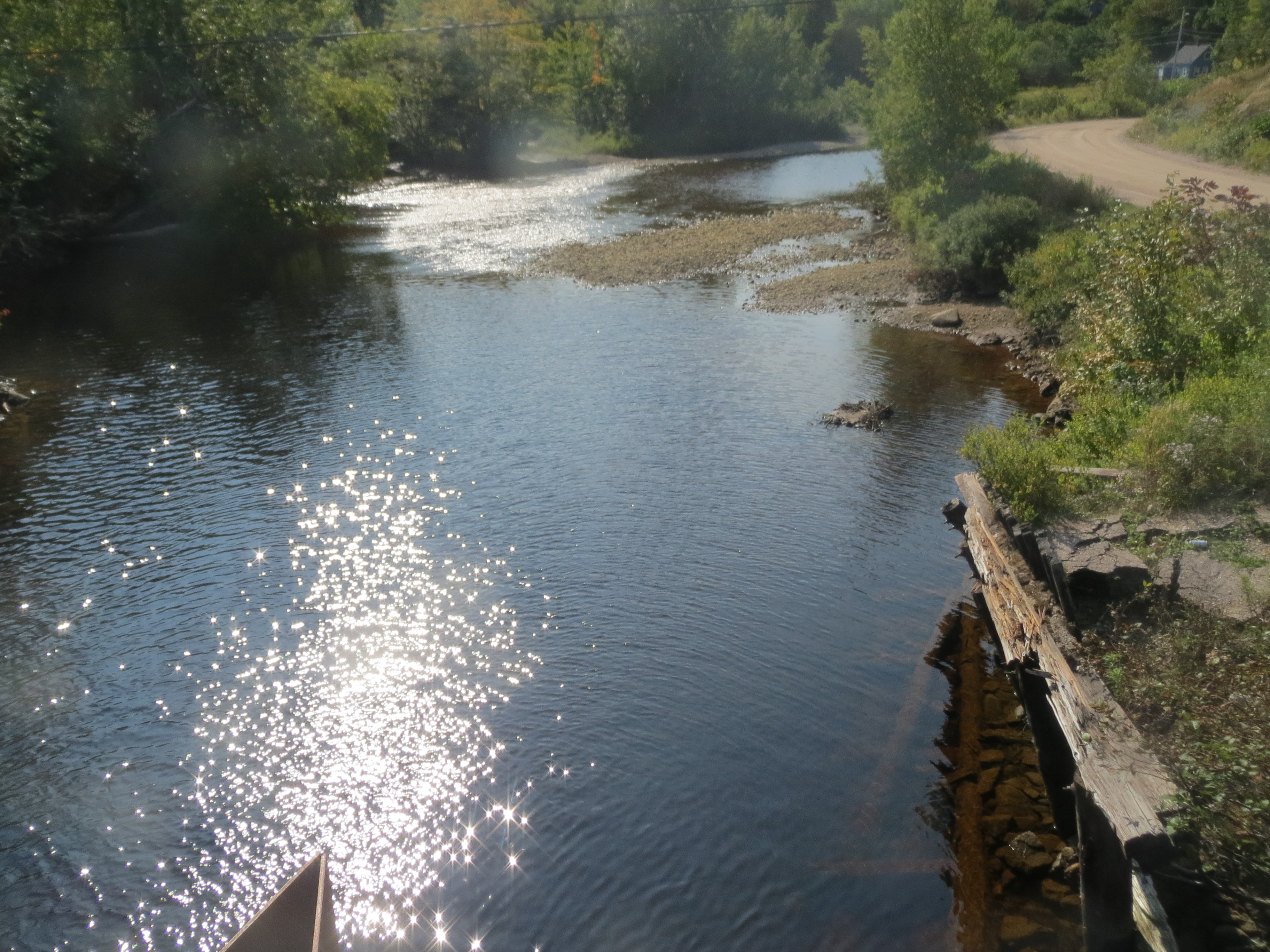
a river |
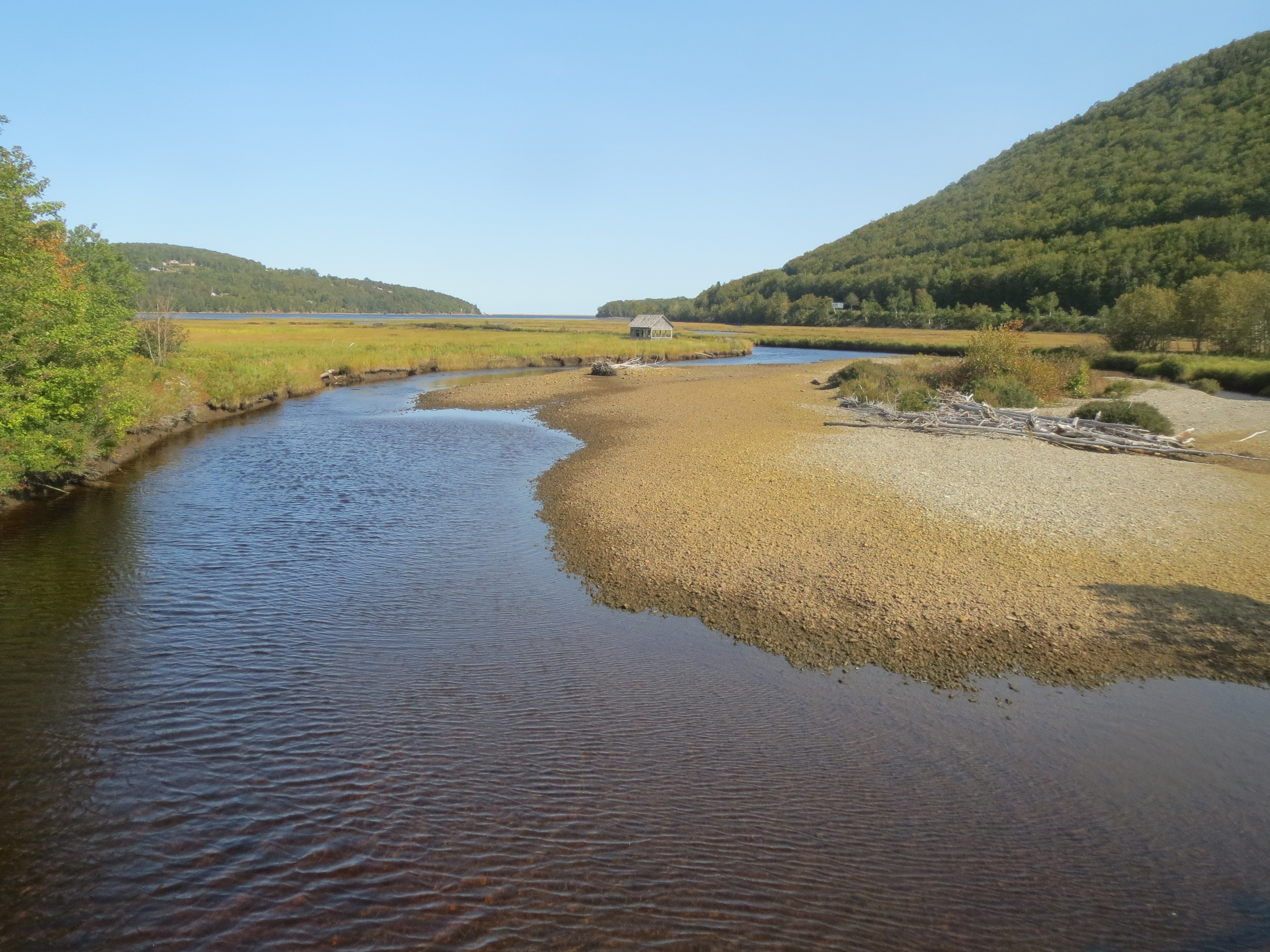
the almost-unnecessarily picturesque inlet near Ingonish Beach |
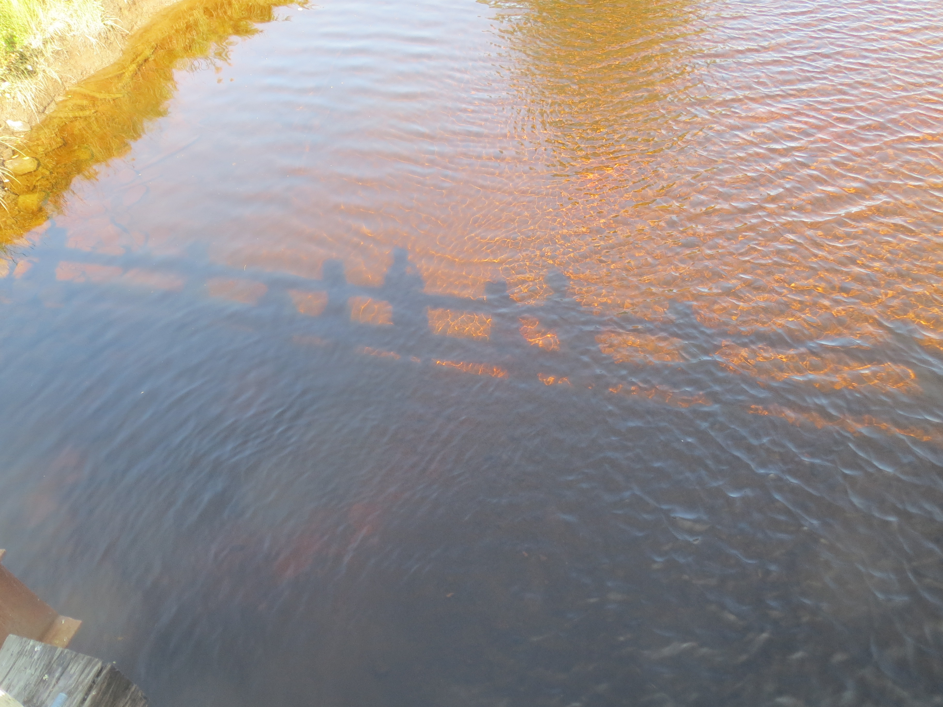
reflection of us looking at the inlet |
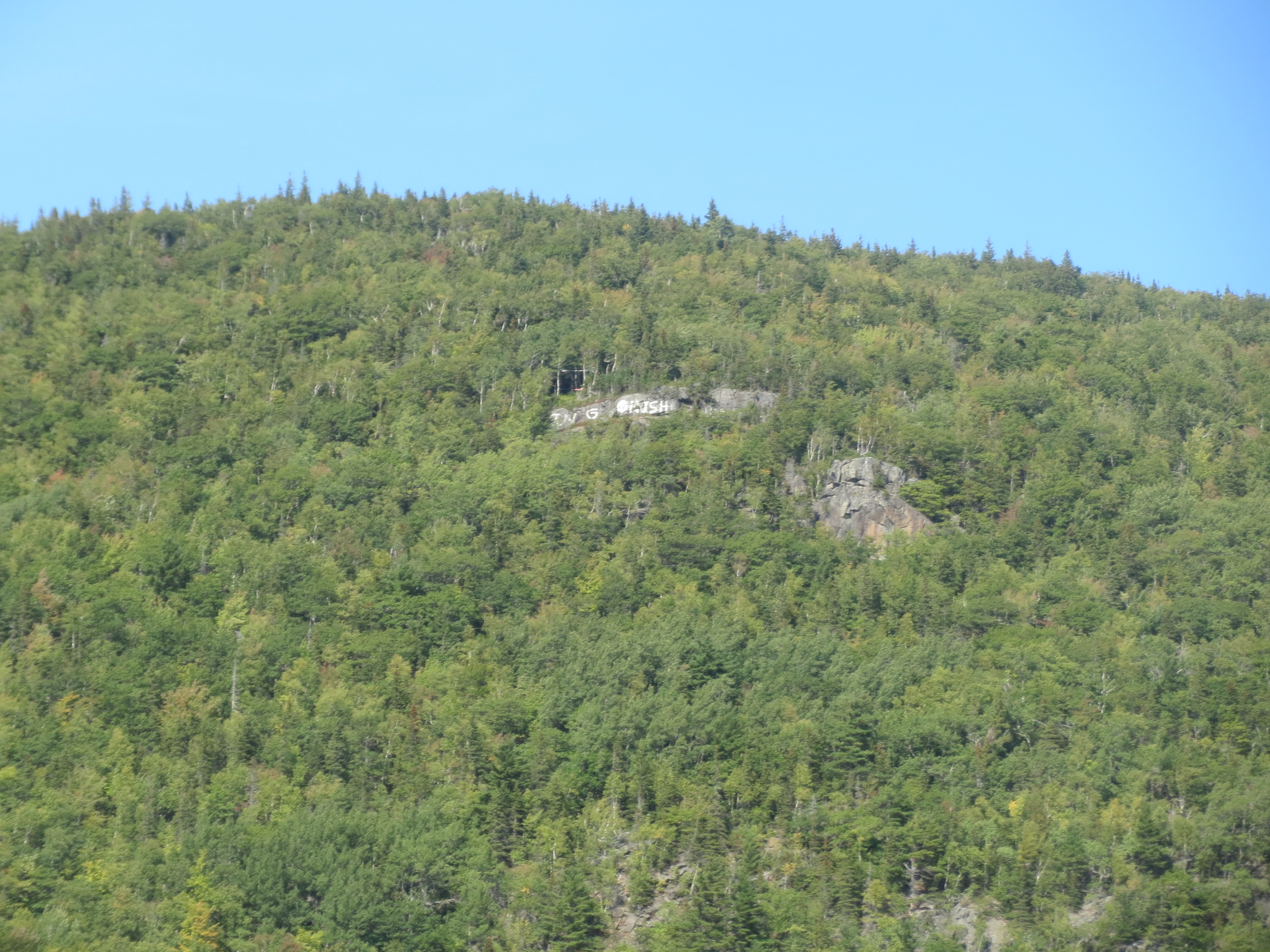
Ingonish graffiti |
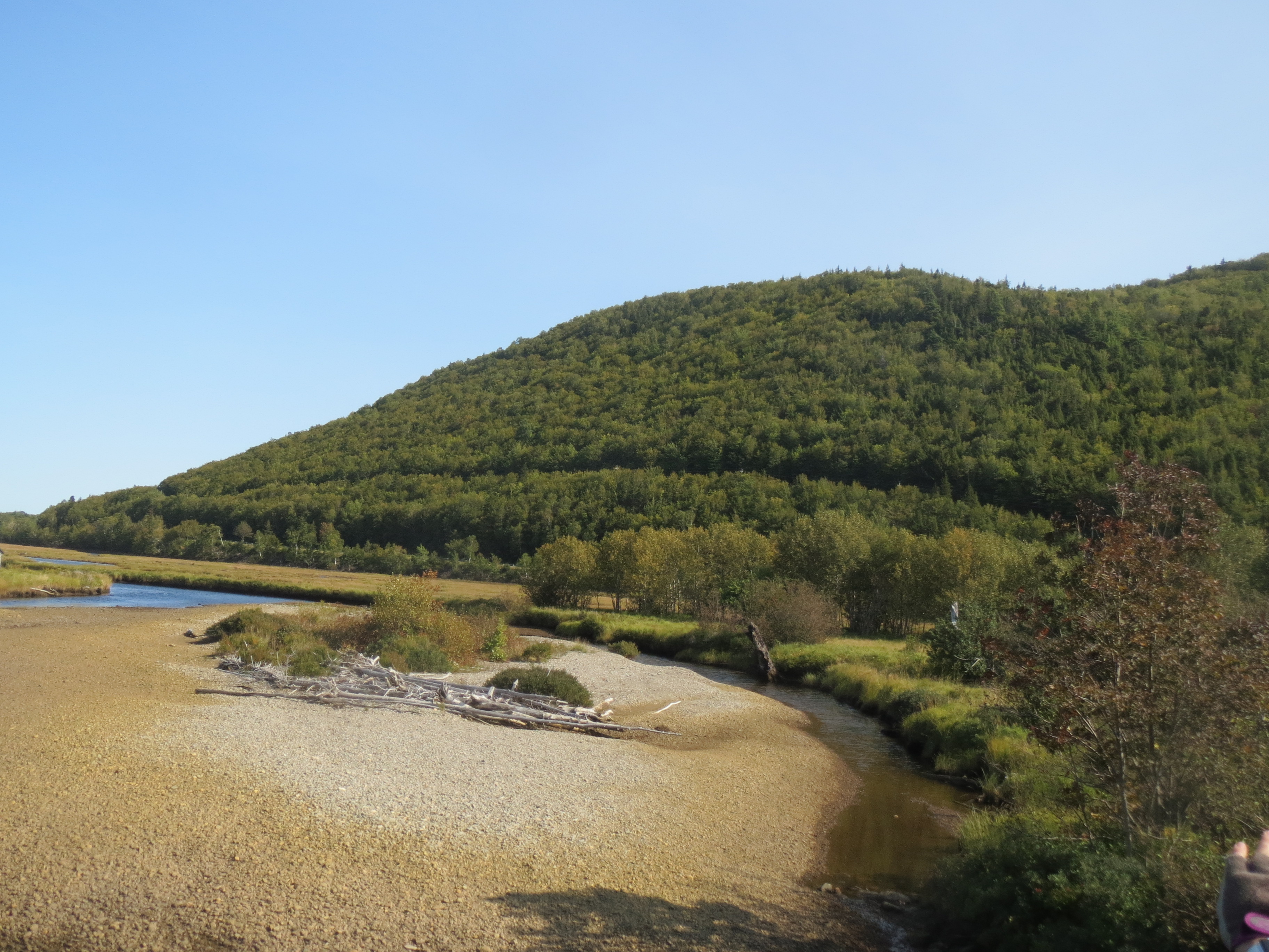
more marsh view |

looking back at the Keltic Lodges resort, where we did not attempt to stay because it didn't fit our timeline, but we're well willing to believe their view was great |
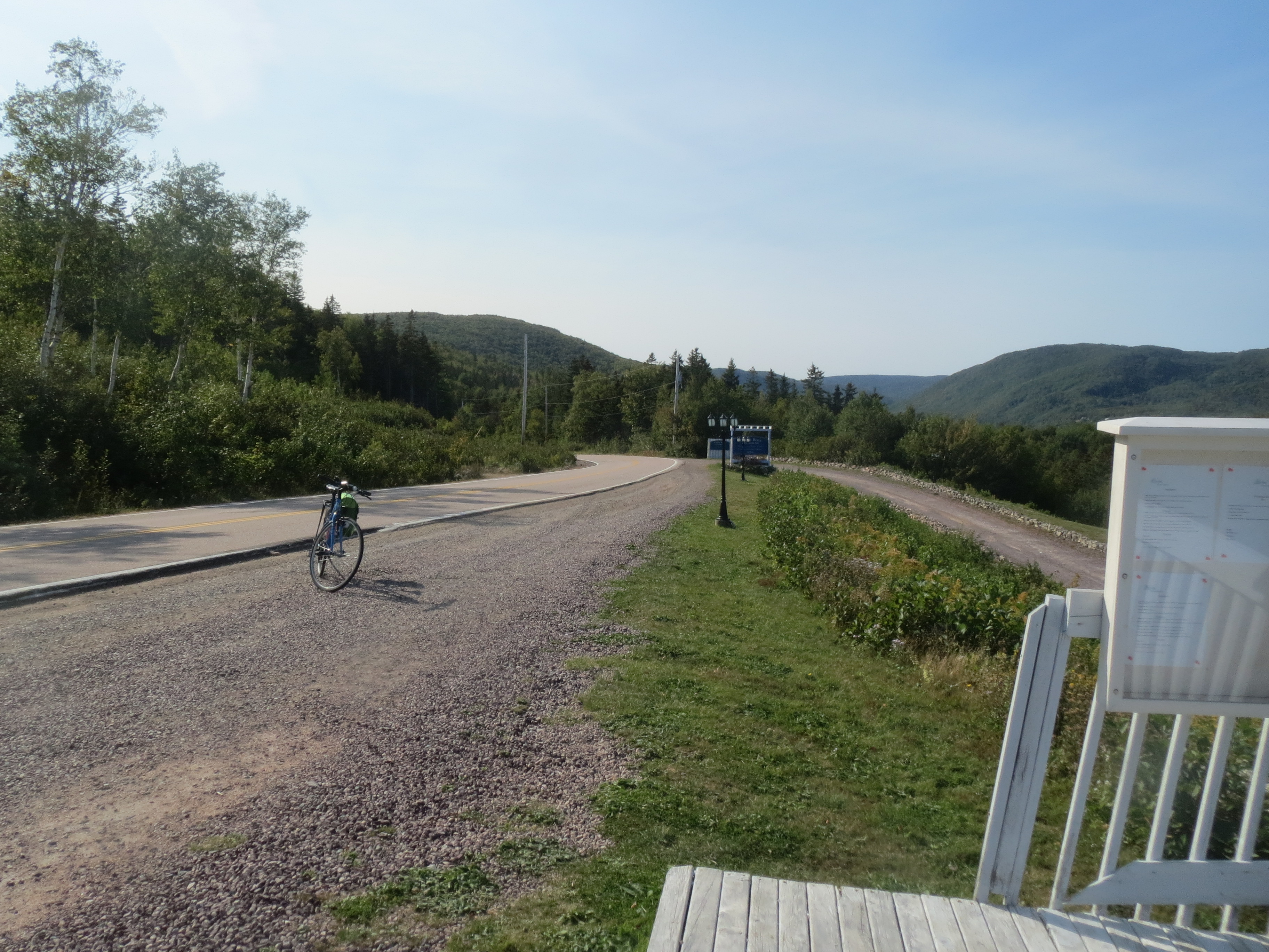
the road behind, including my bike |
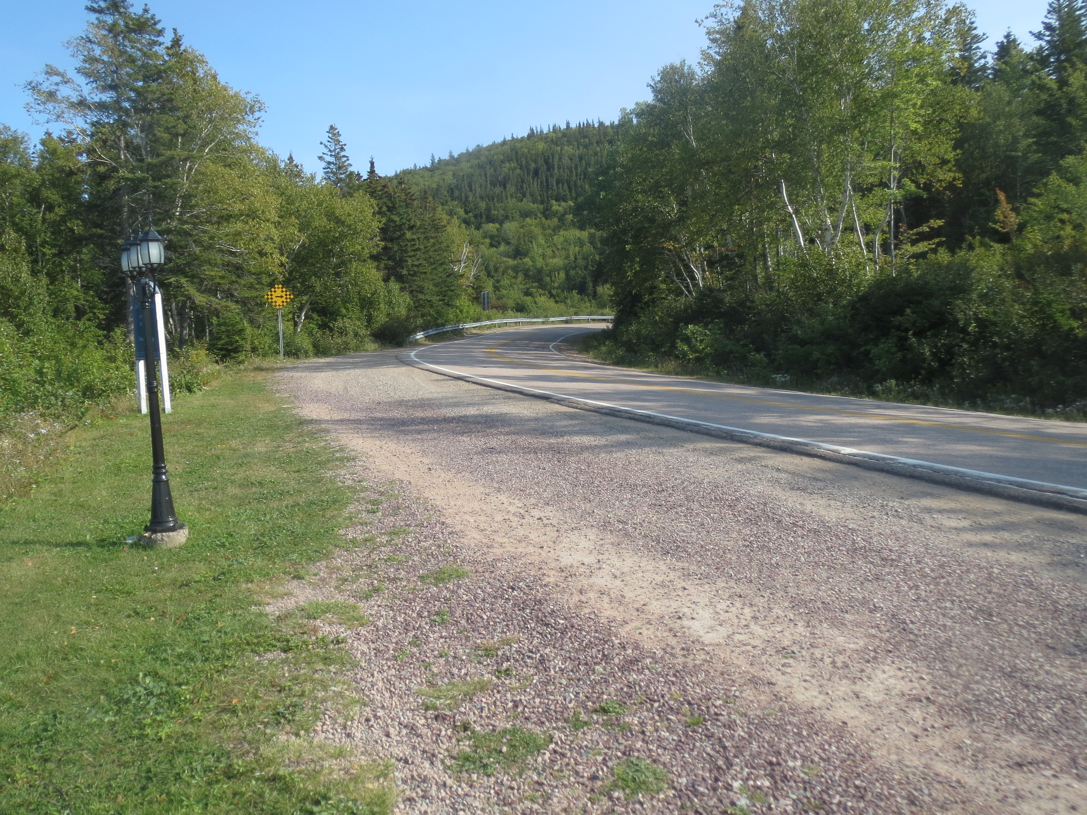
the road ahead |
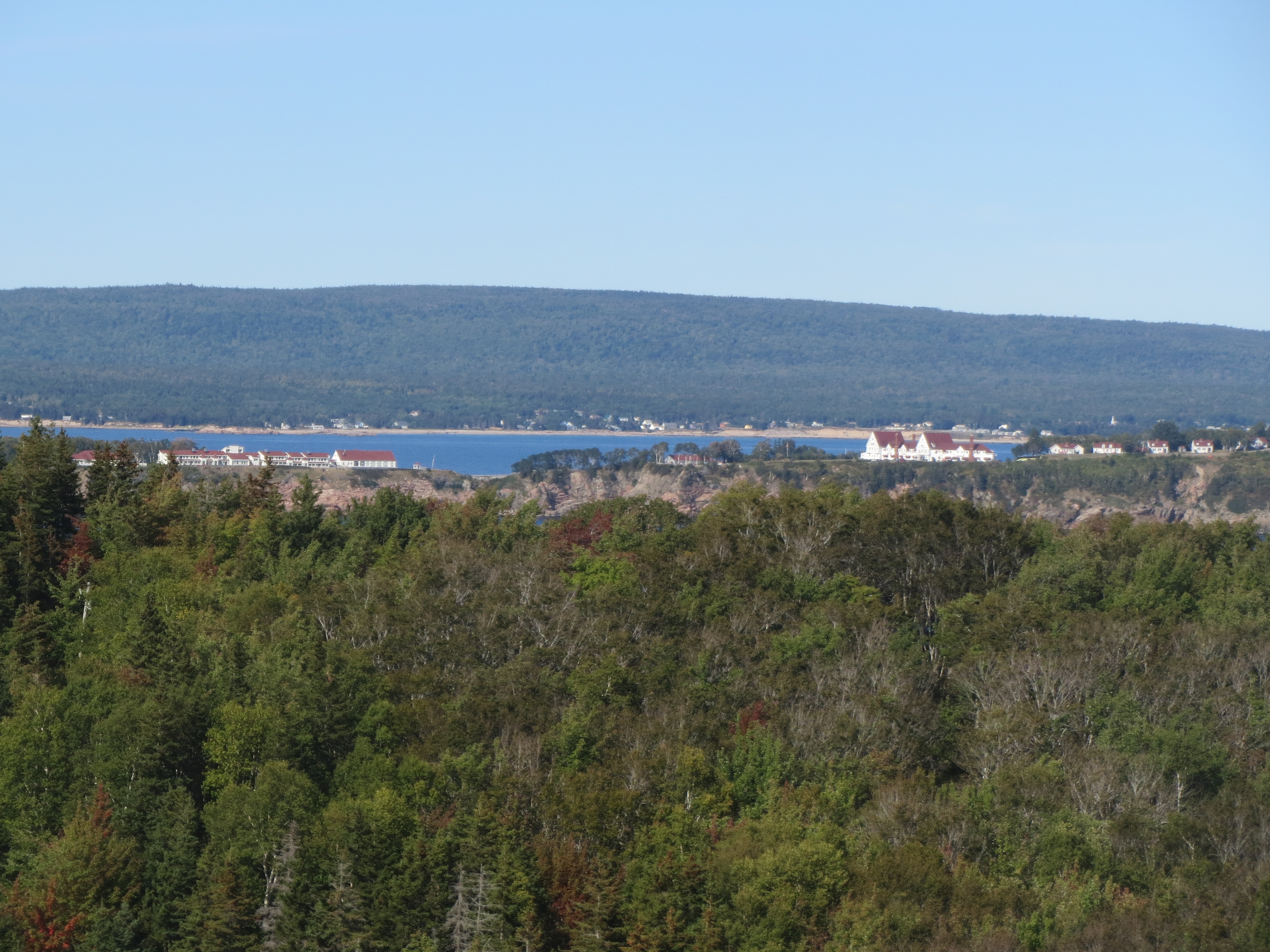
close-up of Keltic Lodges |
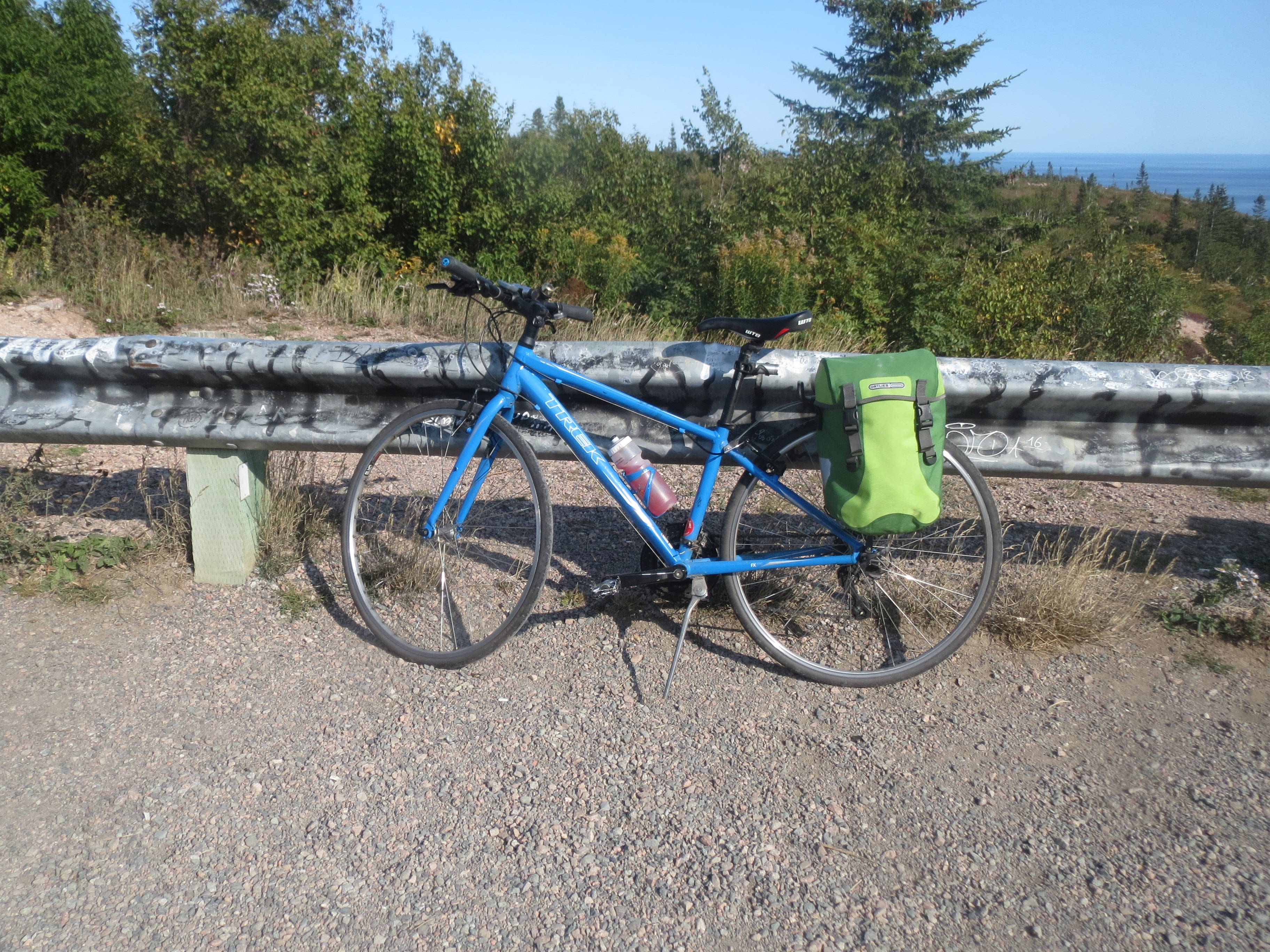
my bike at the top of Cape Smokey (Mount Smokey? whatever. elevation 909 ft, anyway) |
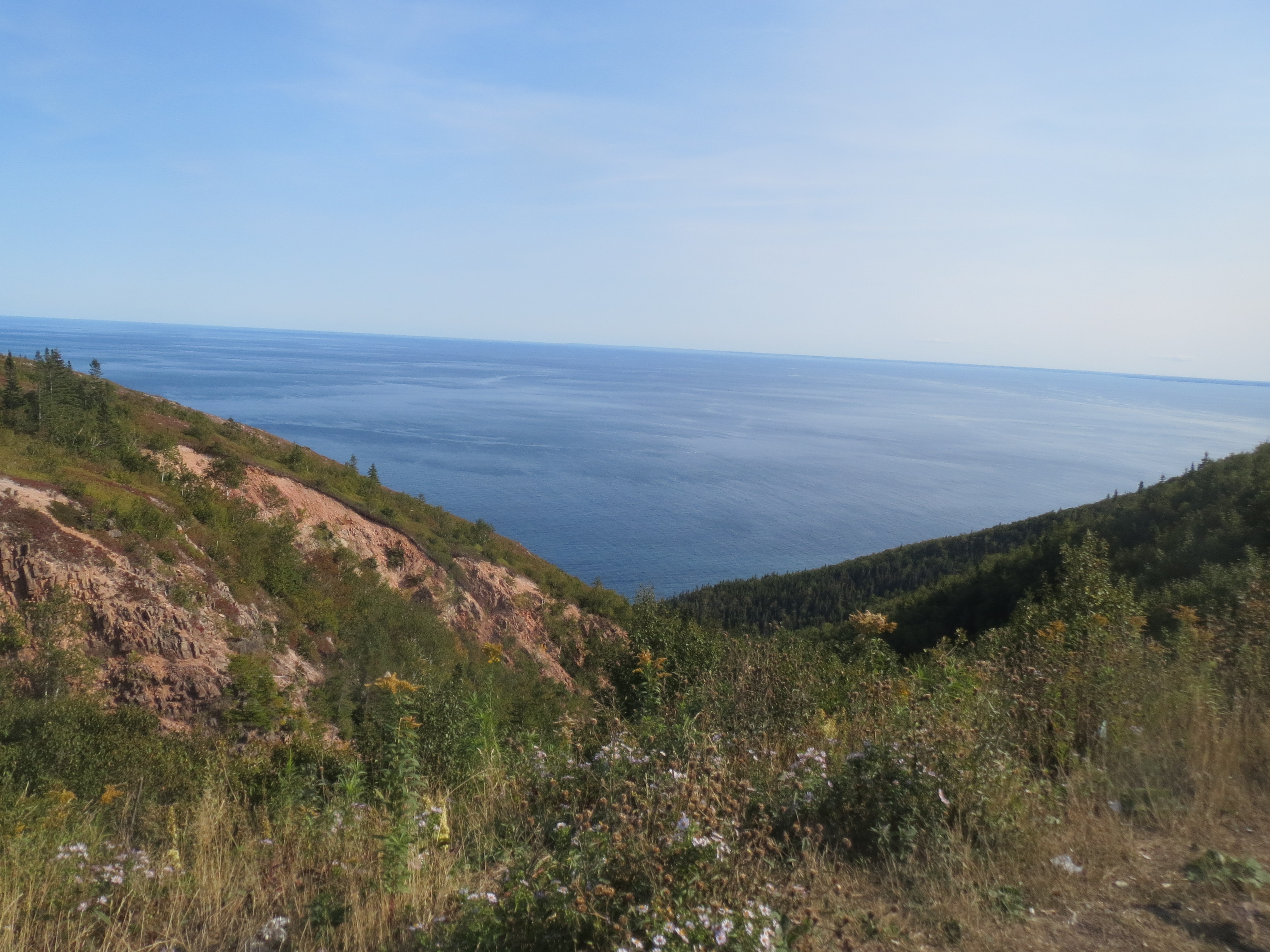
view from Cape Smokey |

Sarah and Scott at Cape Smokey (also note all the tourist graffiti on the rail) |
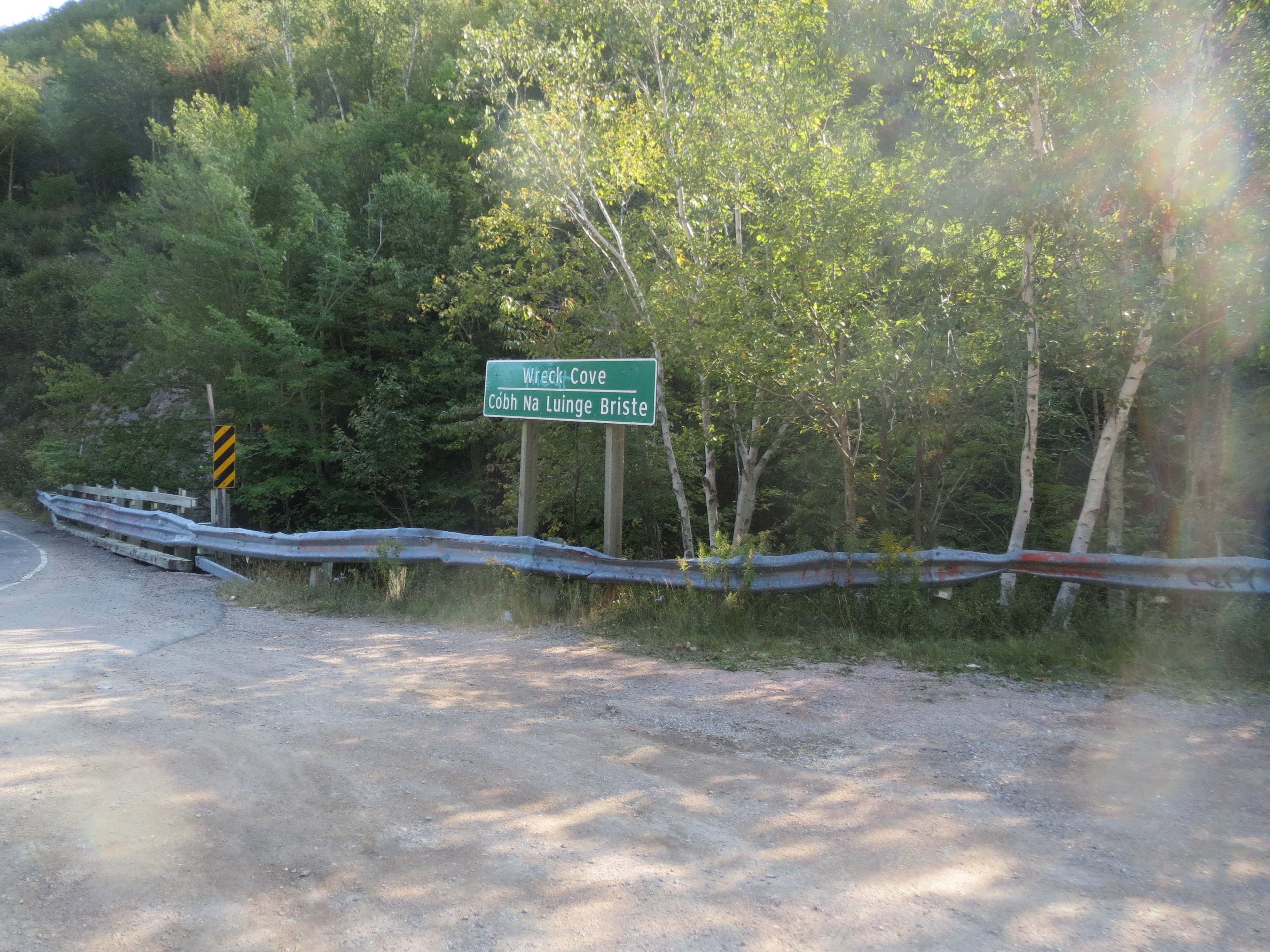
after climbing Mount Smokey, we had to descend Mount Smokey, probably the most harrowing ride on my brakes of the whole trip; i stopped at Wreck Cove to give my hands a rest |
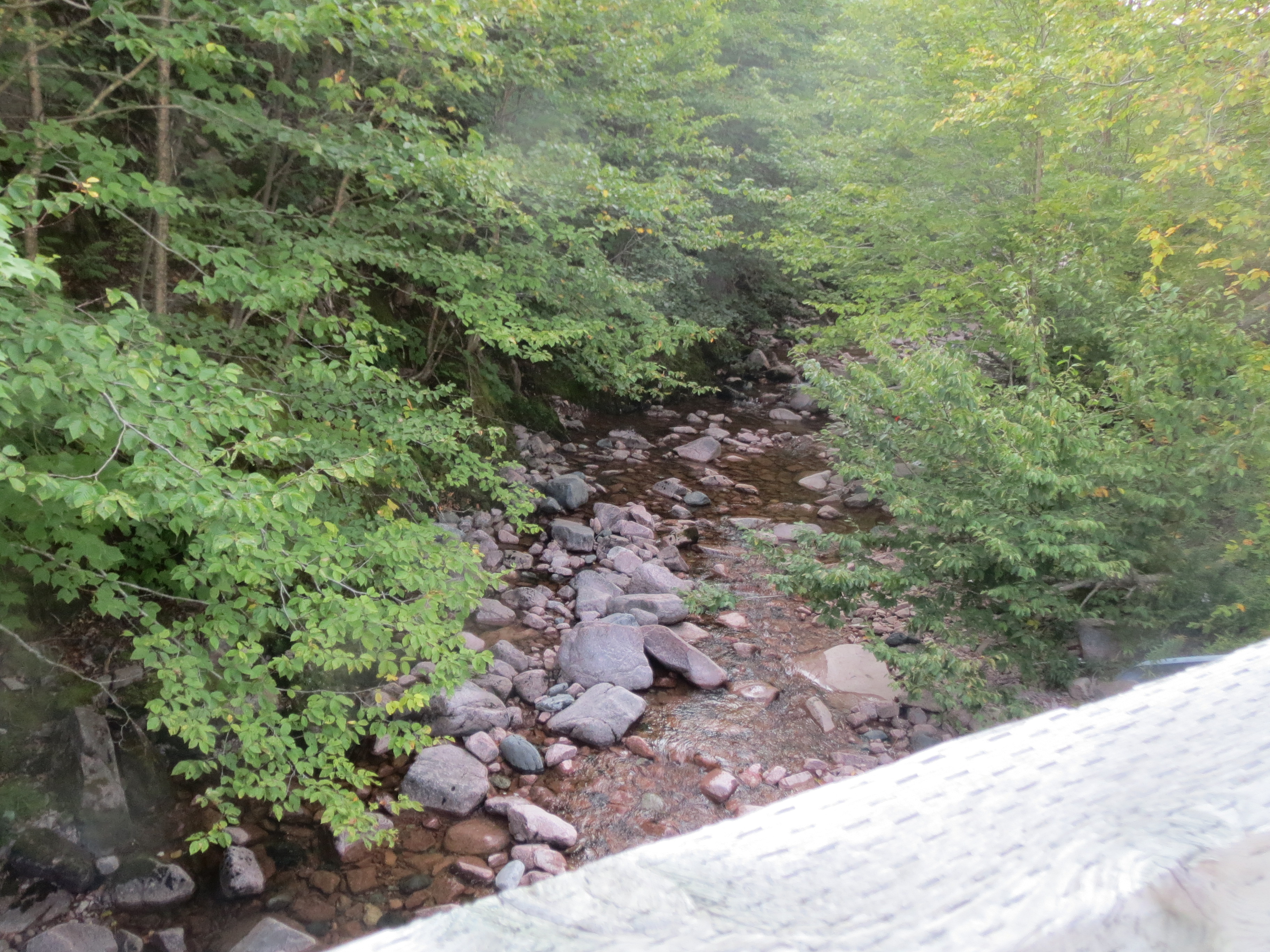
stream at Wreck Cove |

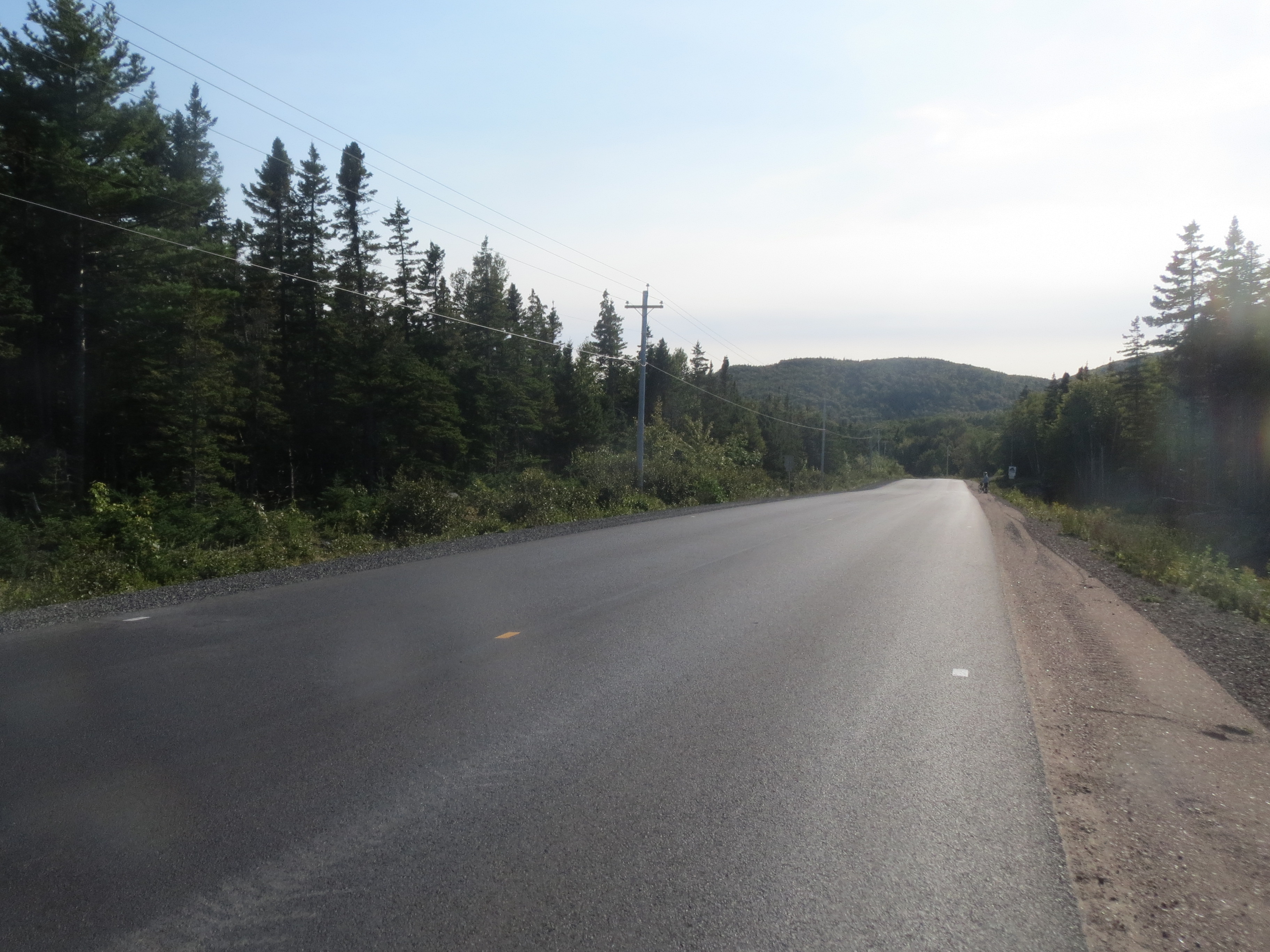
finally, flat ground! the road behind |
the road ahead |
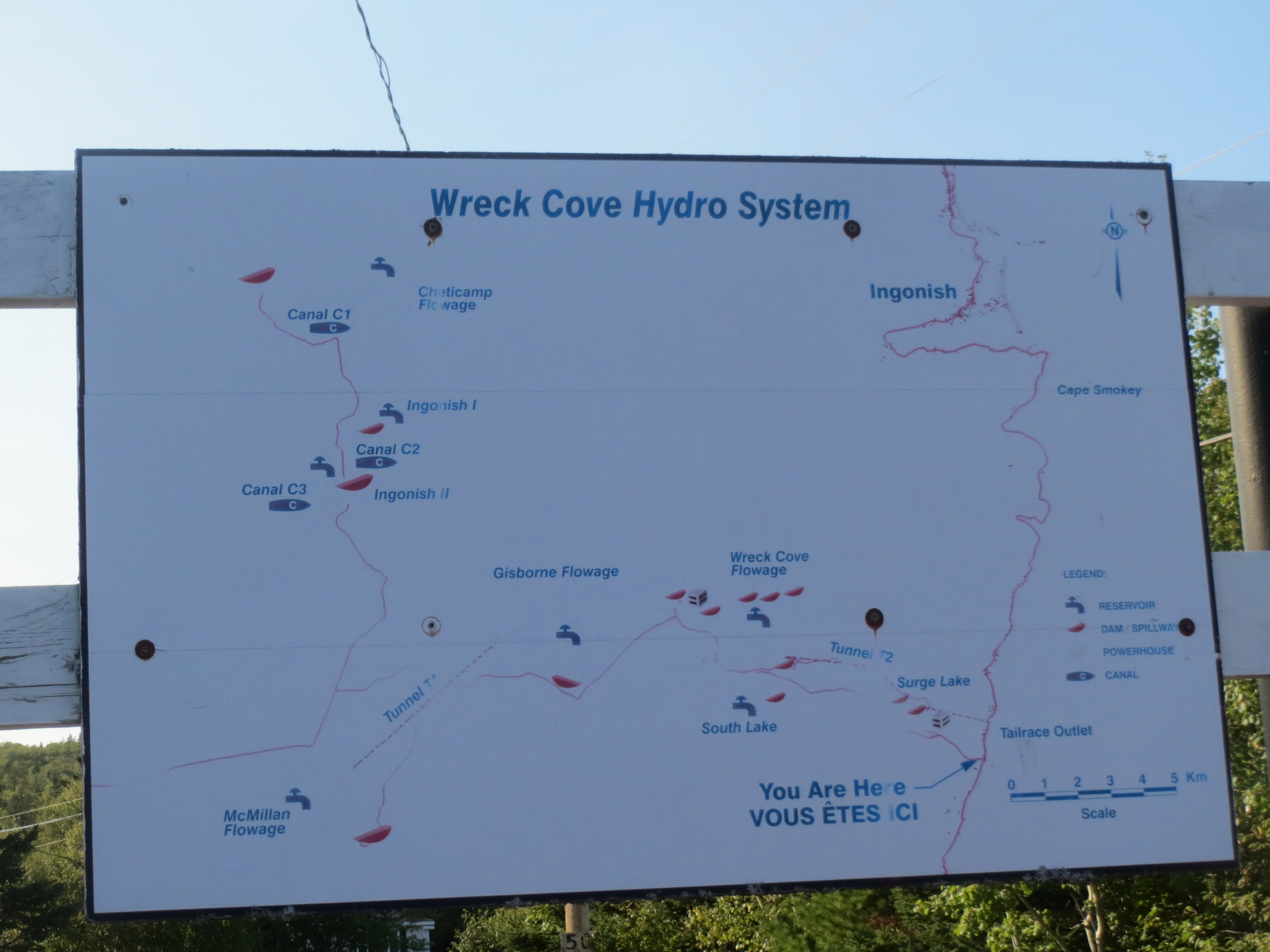
helpful information about the Wreck Cove hydro system |
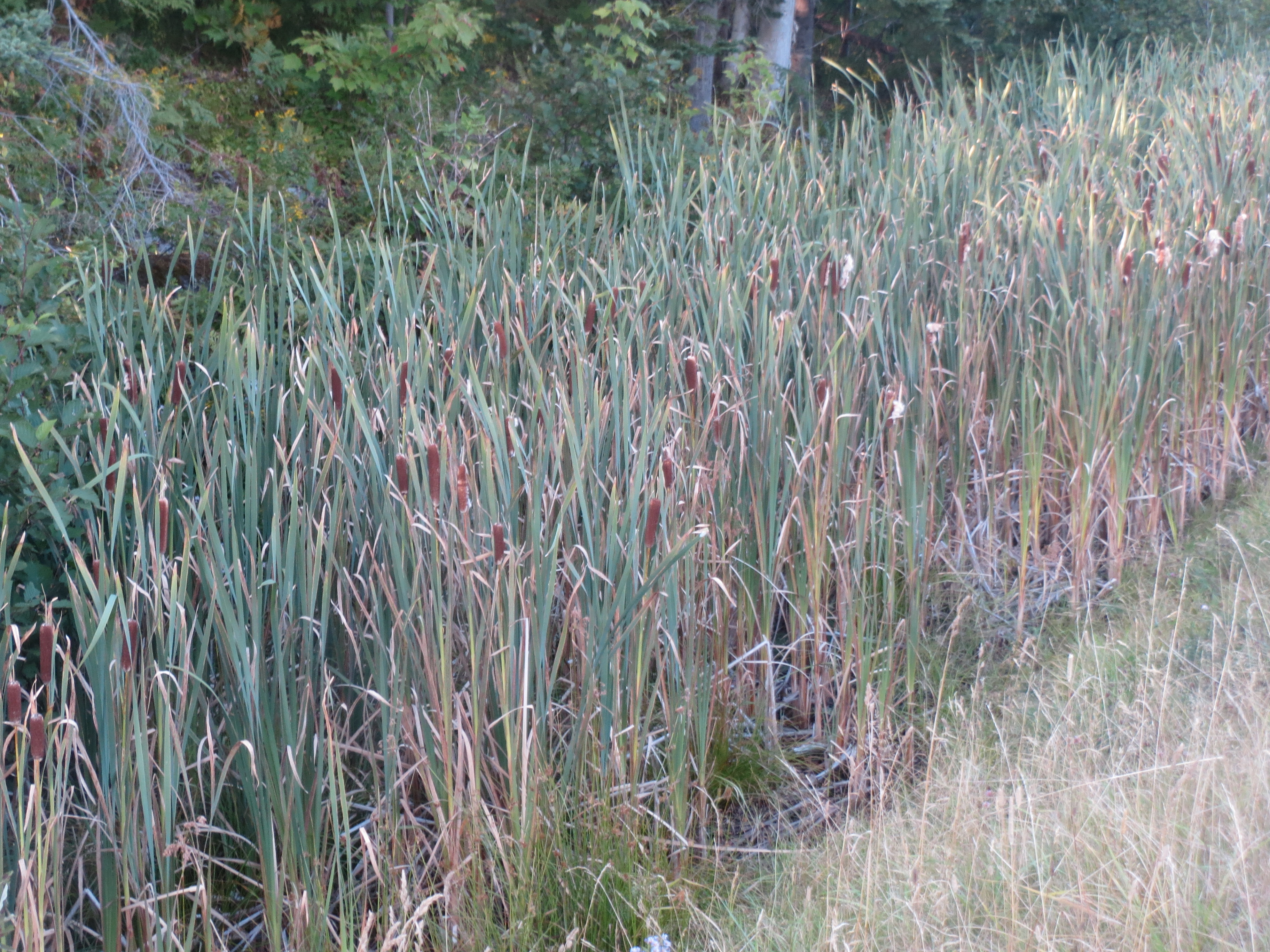
cattails |
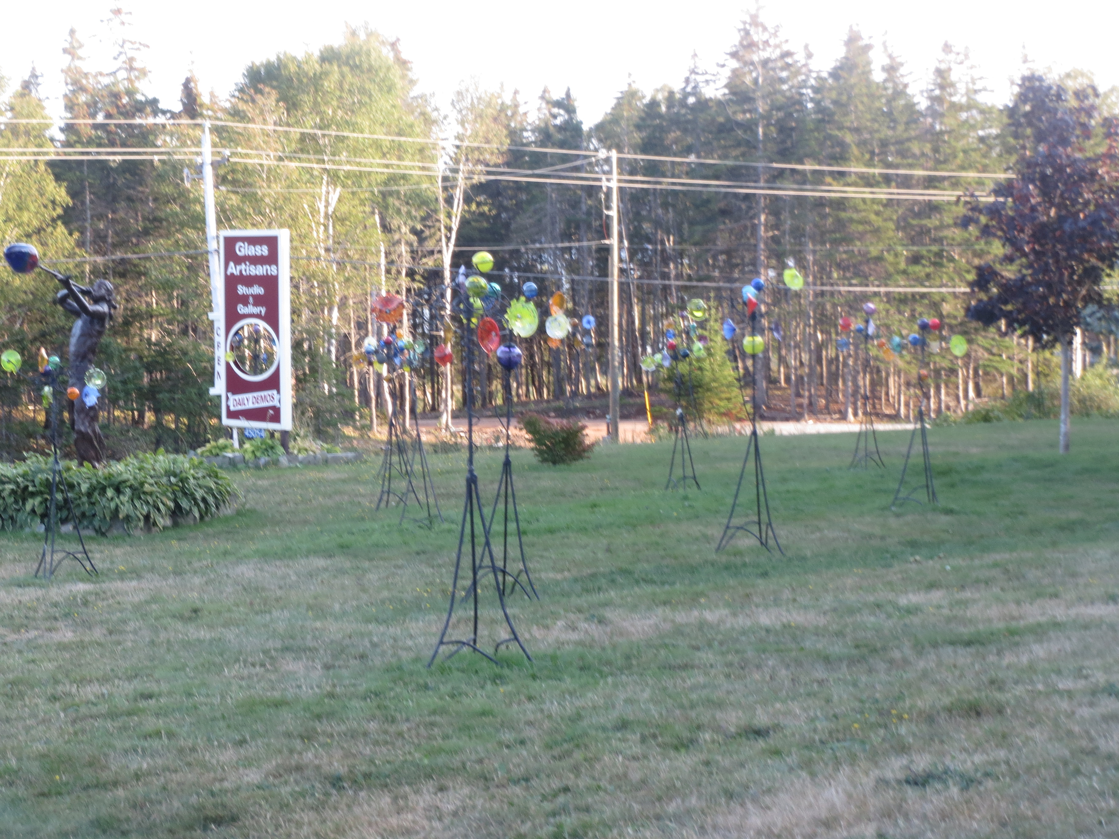
glass artisan studio where we stopped to be tourists |
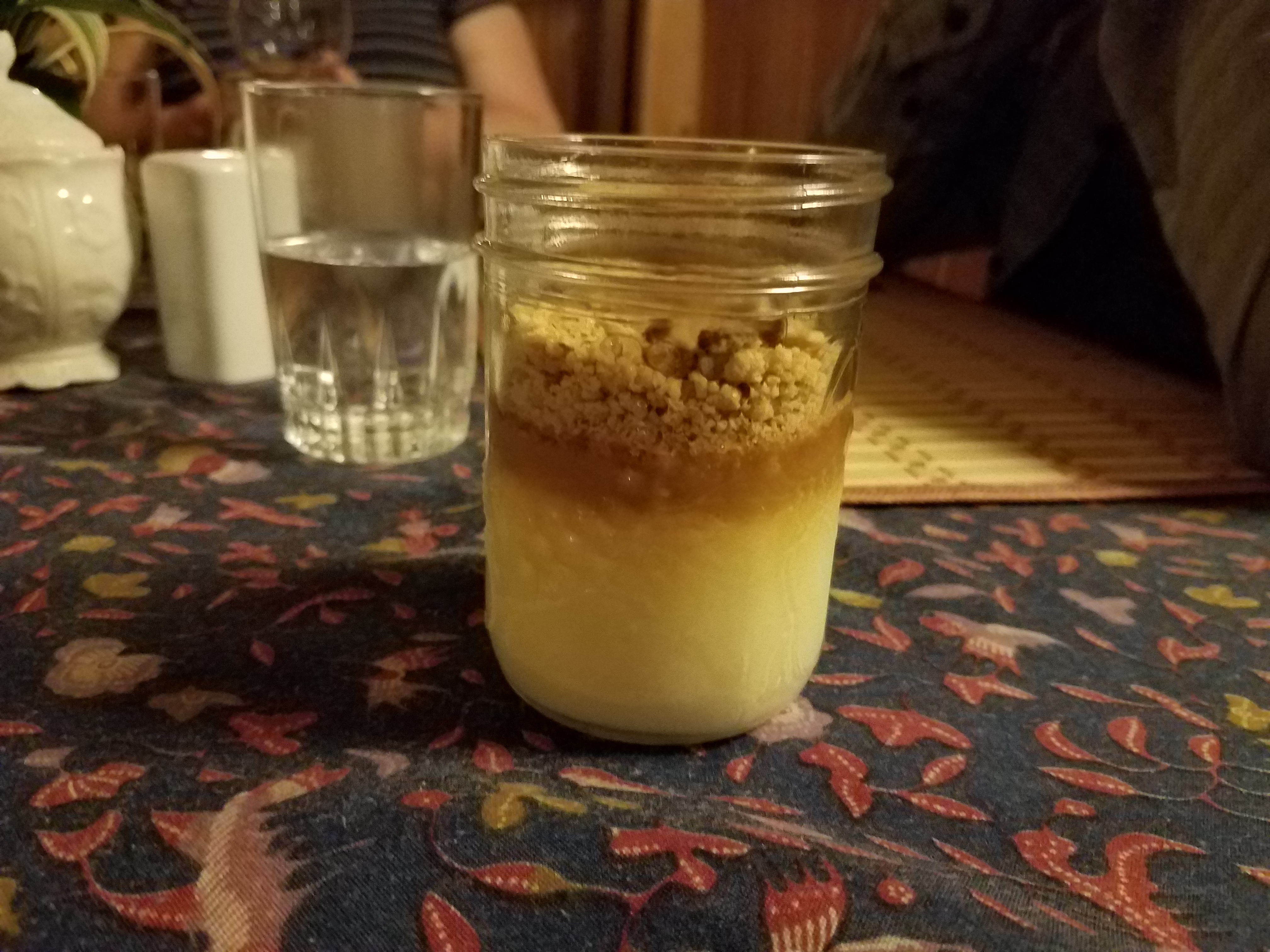
fast forward to dessert at Cabot Shores, tiramisu in a jar |