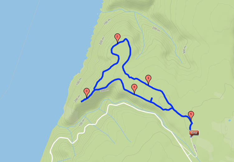
In the morning, we drove back to the west coast and hiked the Skyline Trail; we'd passed the trailhead on our bikes the day before, but figured the views would be disappointing given the rain. [5.2 mi]
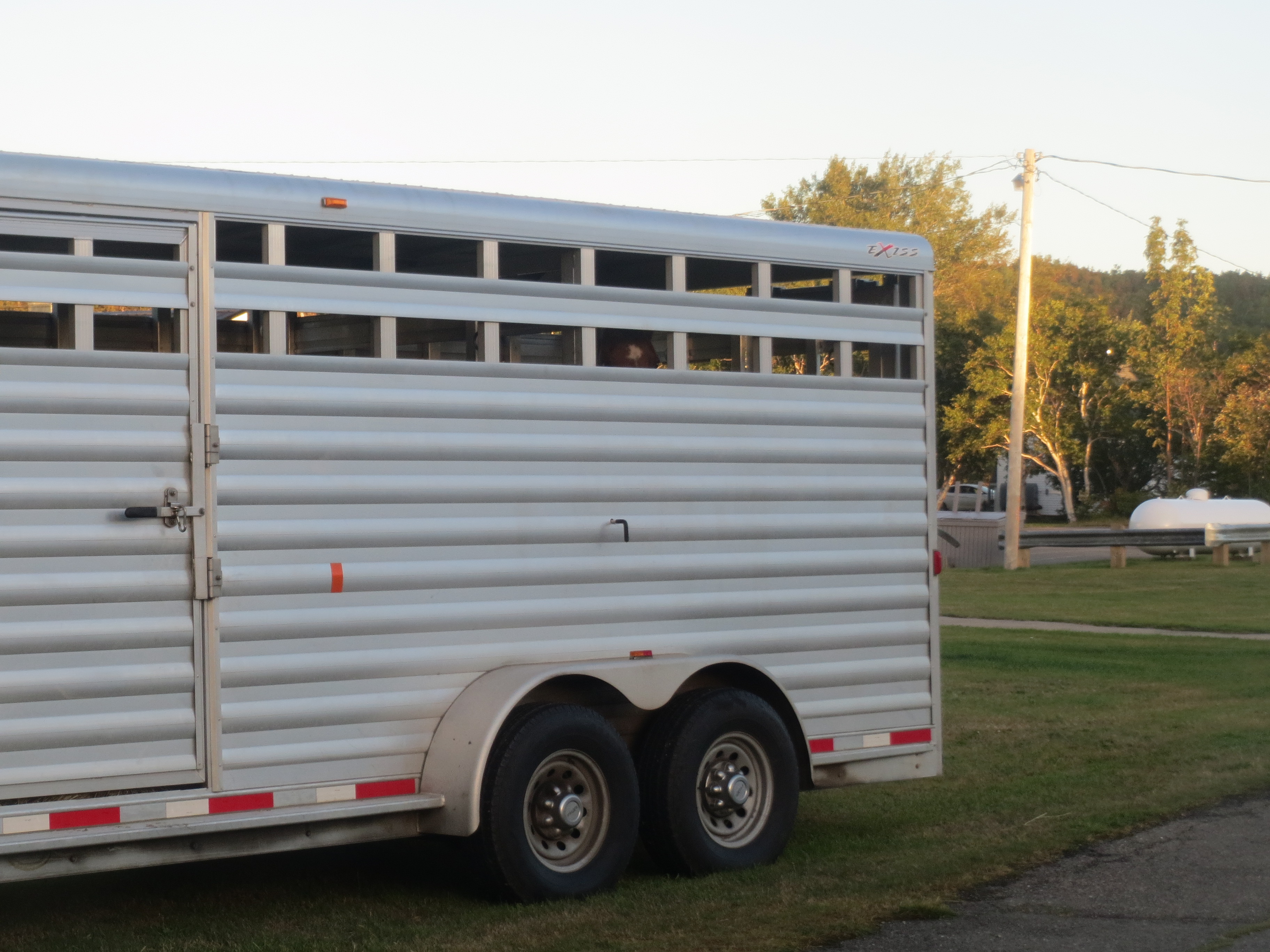
You wake up in the morning, and there's a horse trailer with a horse in it on your lawn. Some days are like that |
We head off along the Skyline Trail |
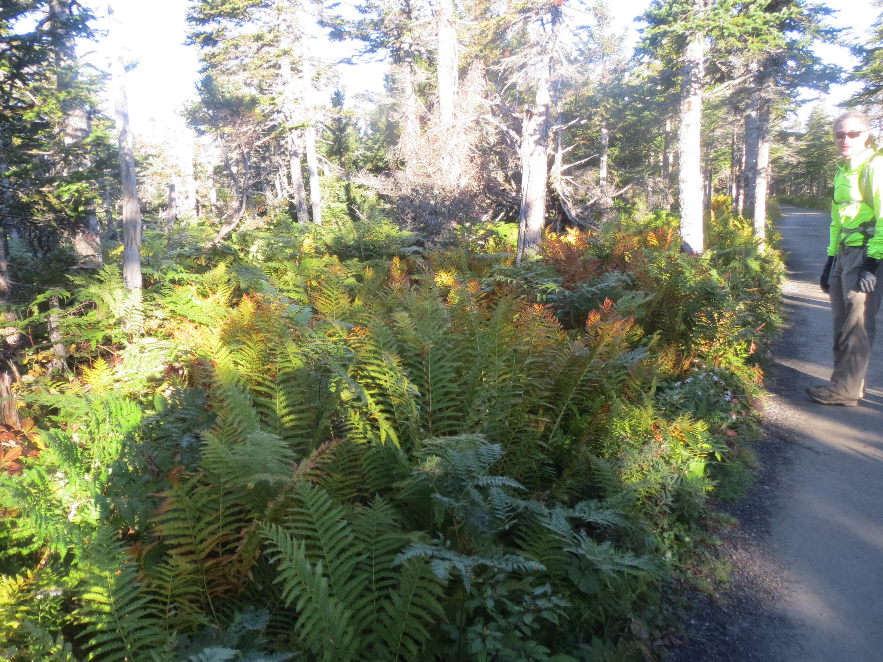
ferns ferns ferns. Also David |
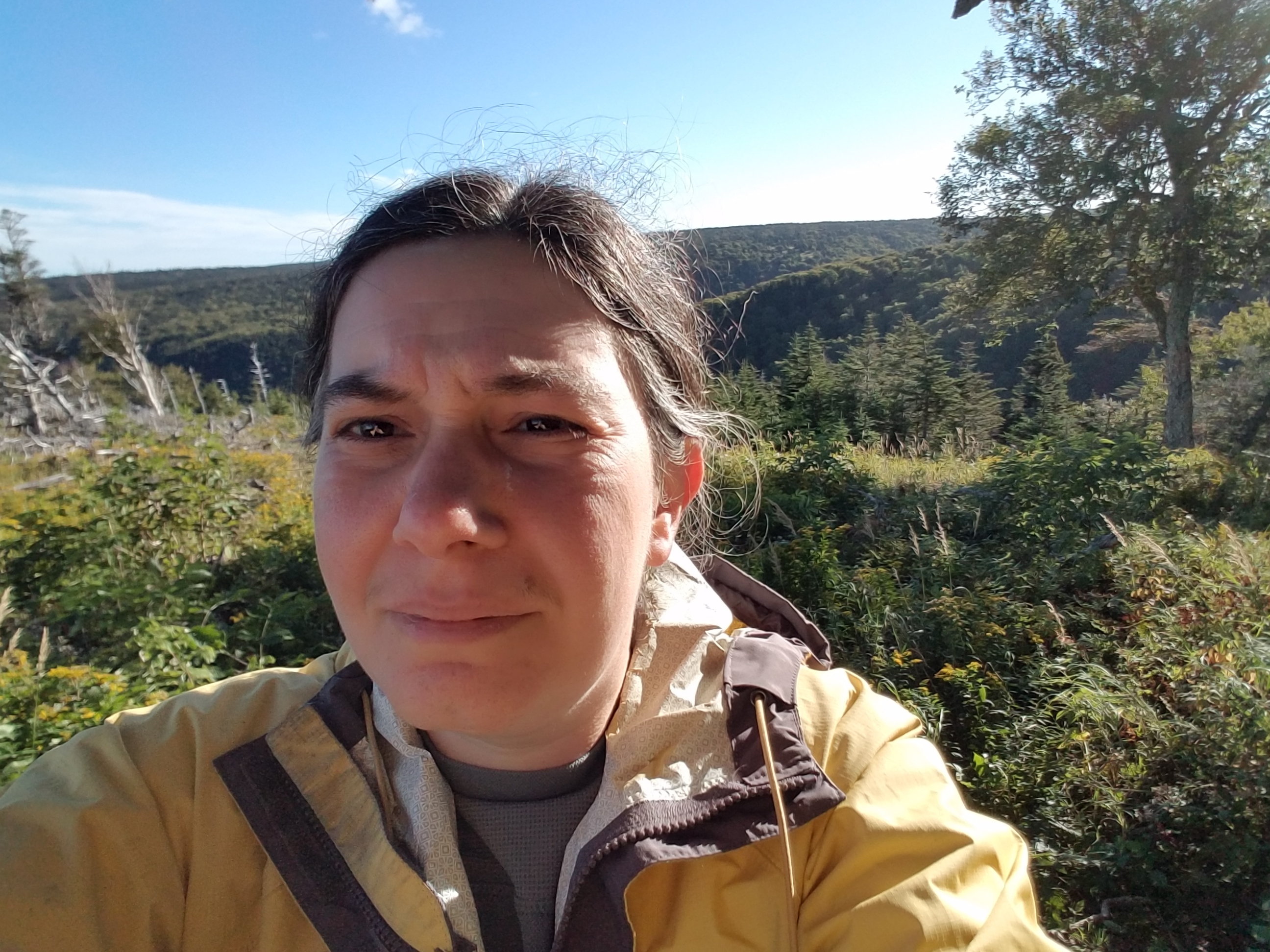
Me, in front of something scenic. I am squinting because of the sun, a good sign that we might see views today. |
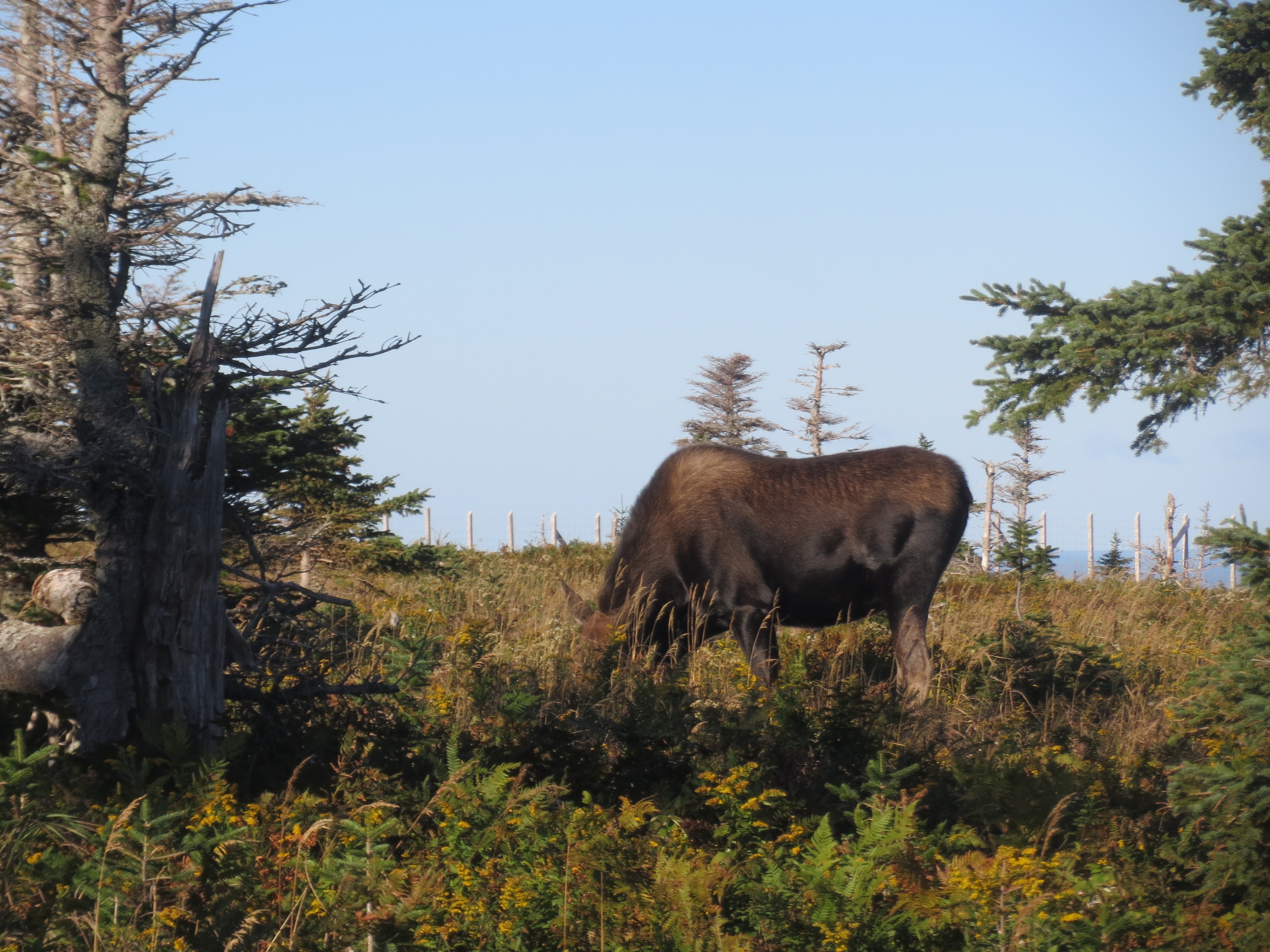
a moose! not on the road, for once. |

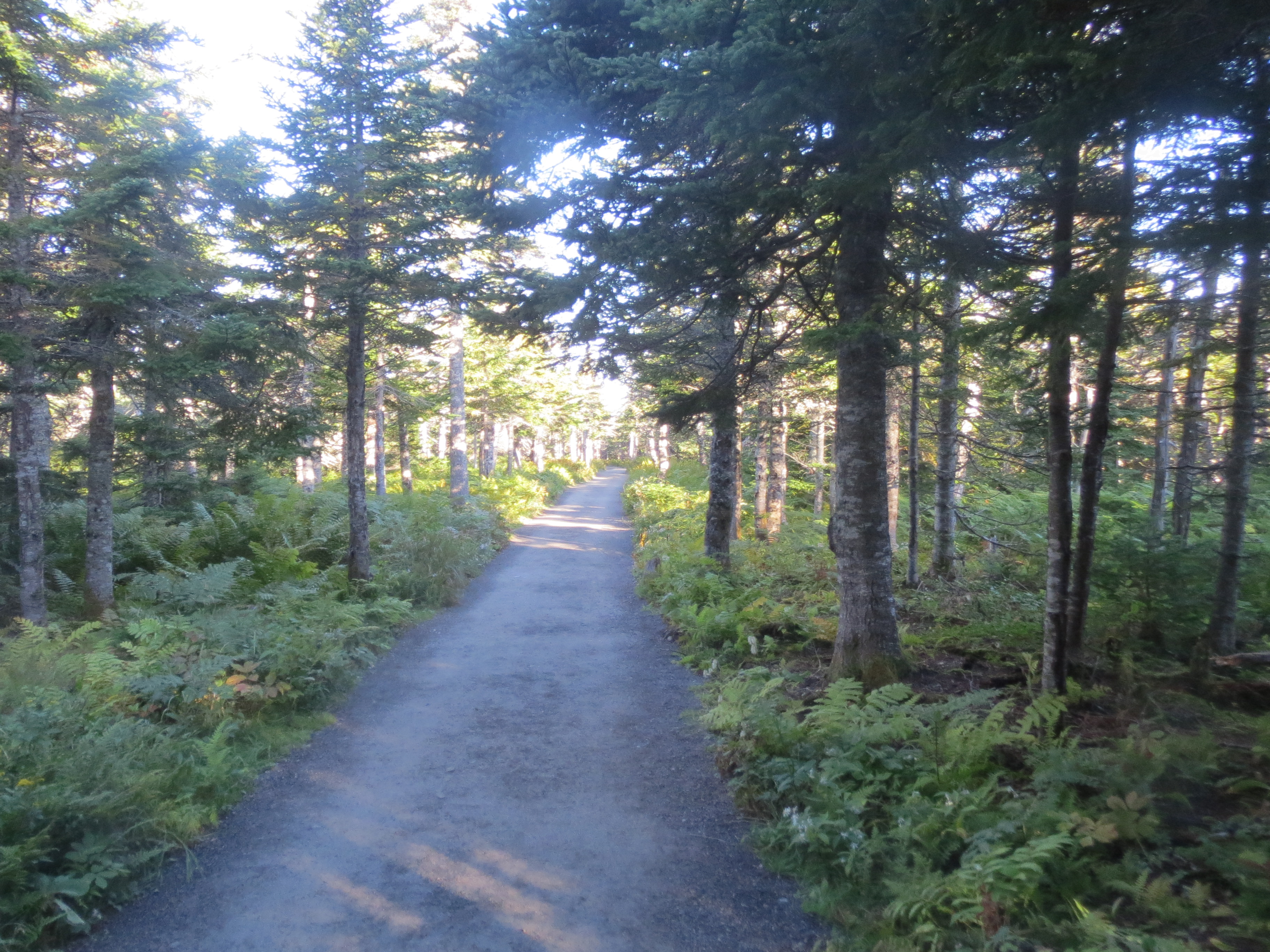
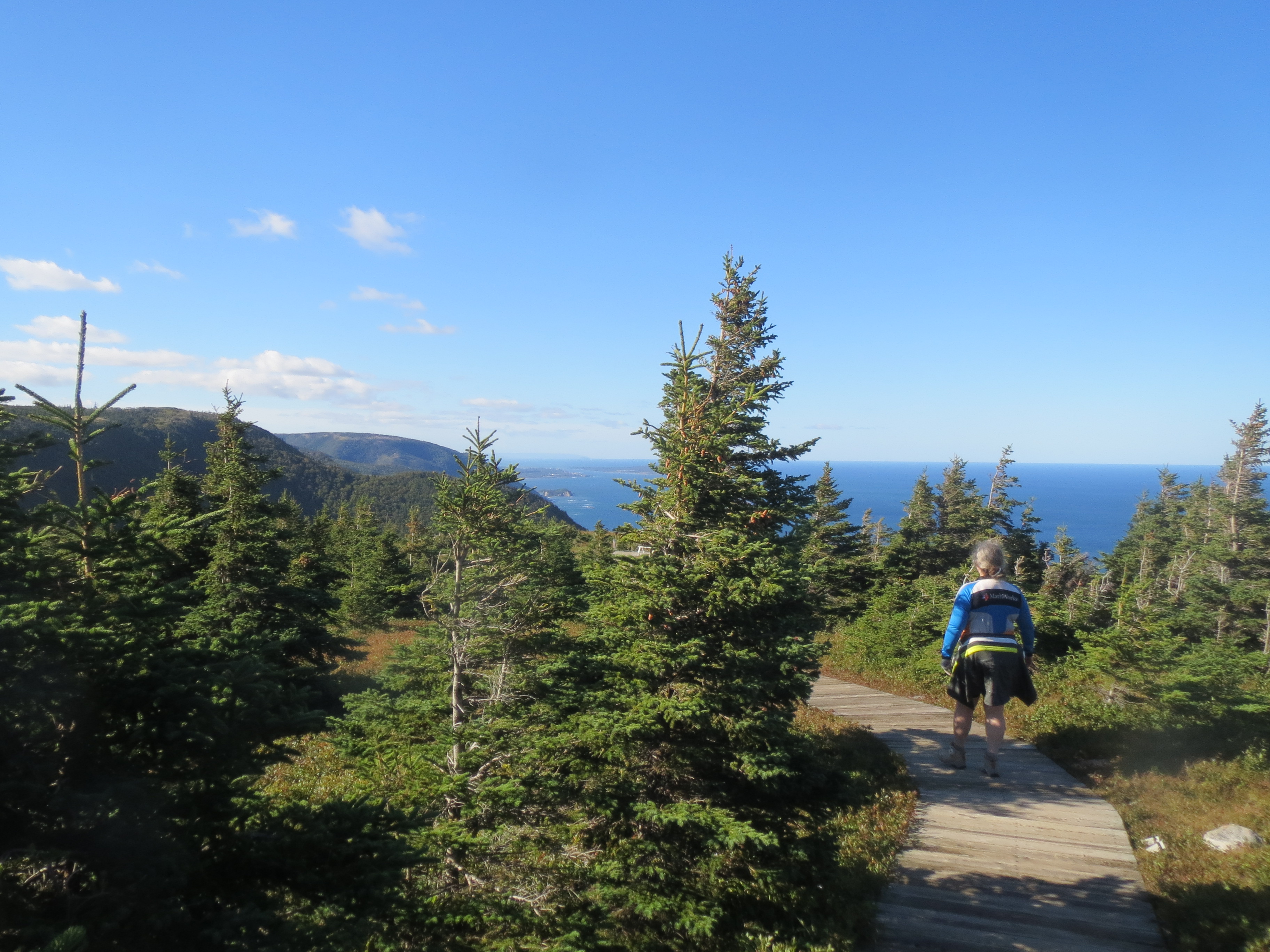
the party walking along the trail |
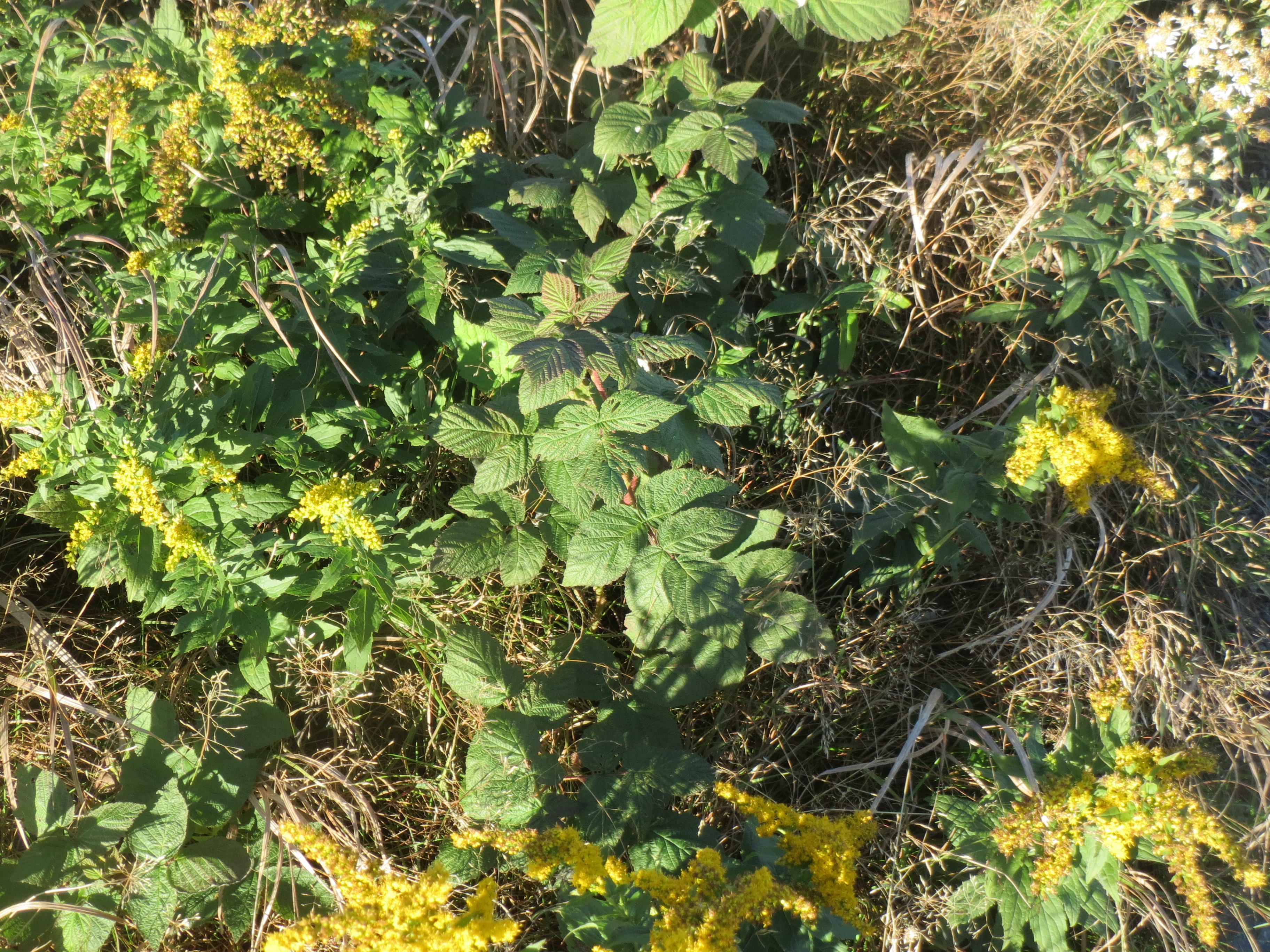
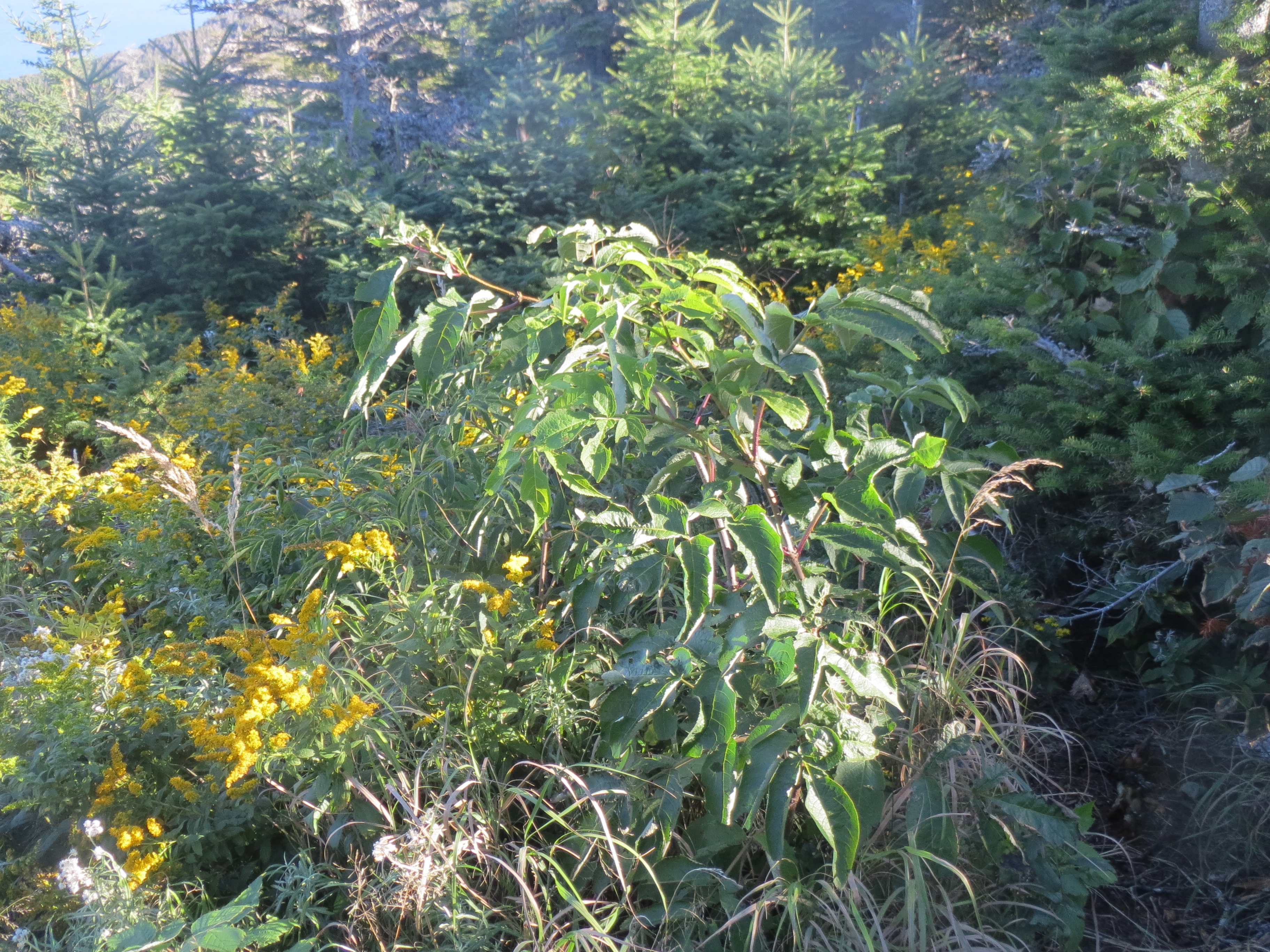
some plants |
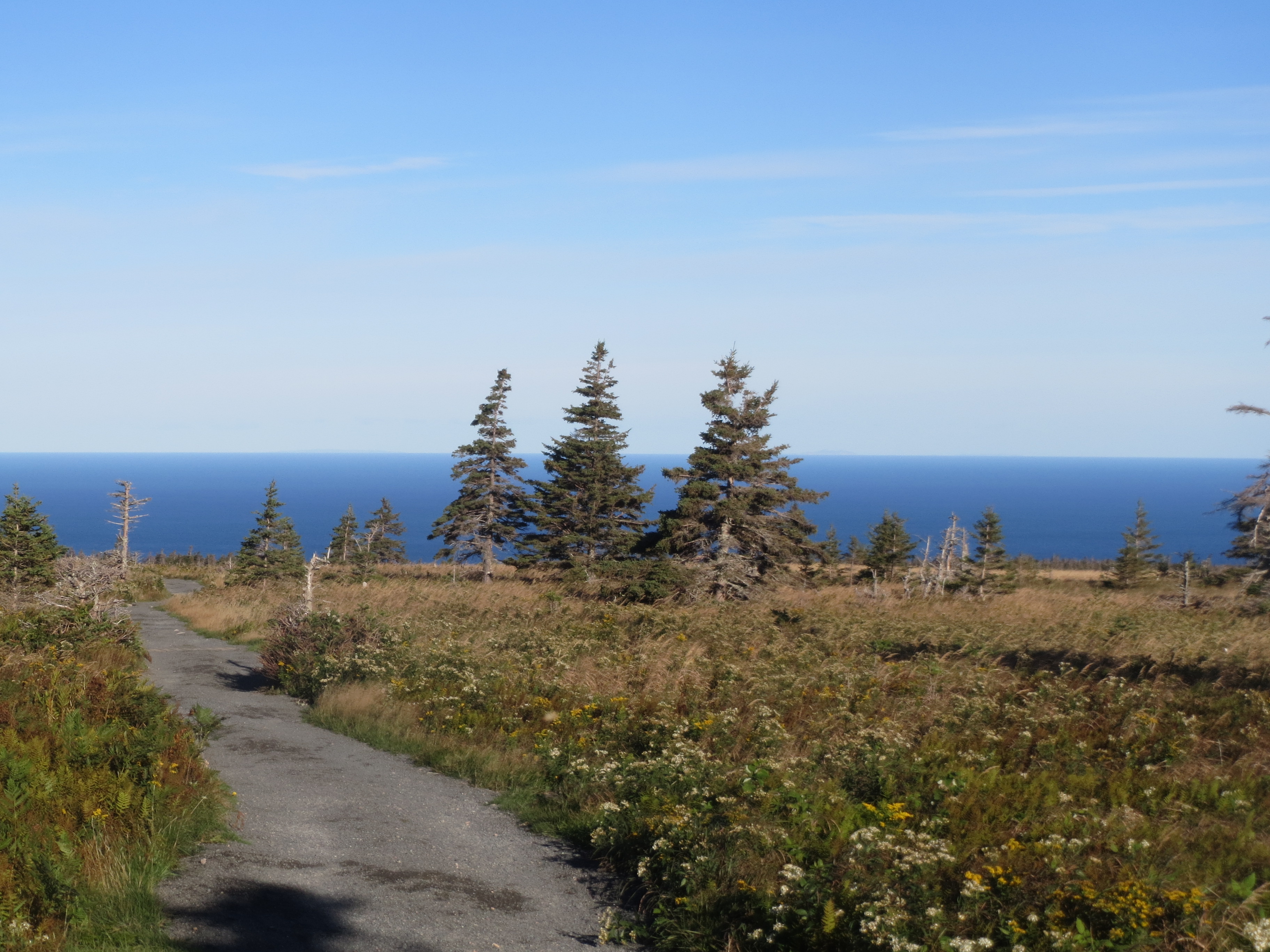
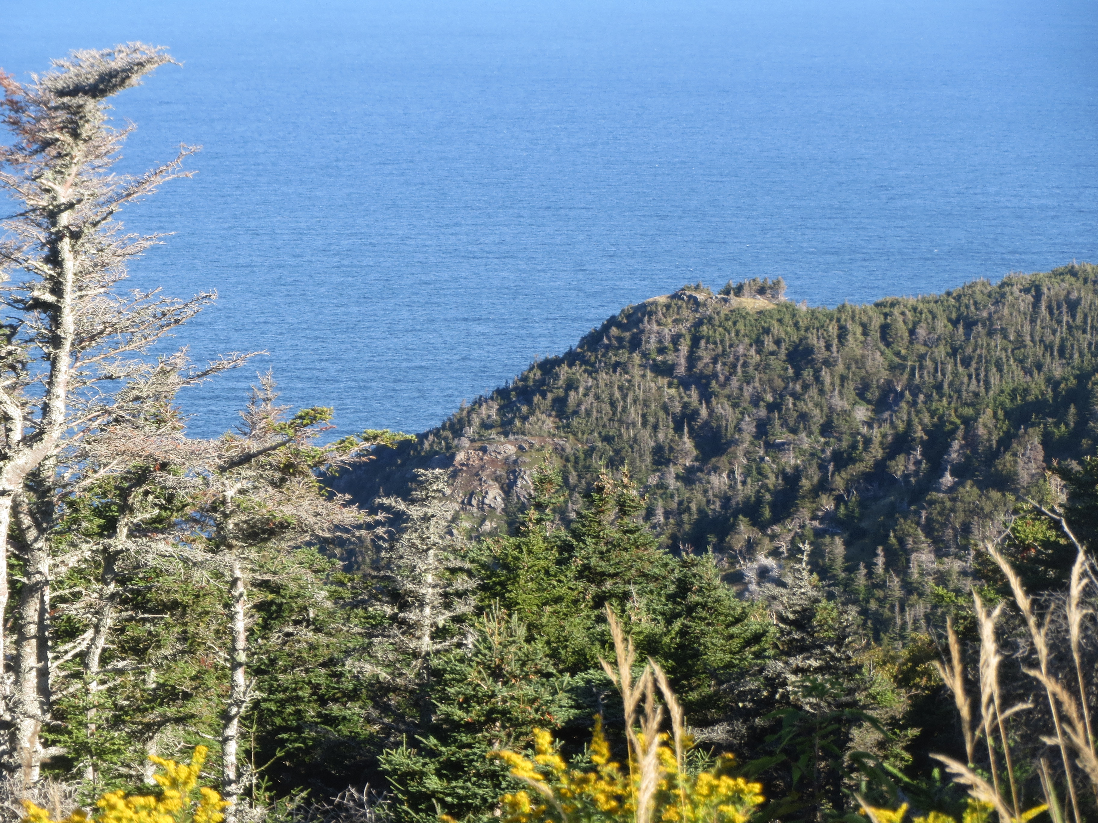
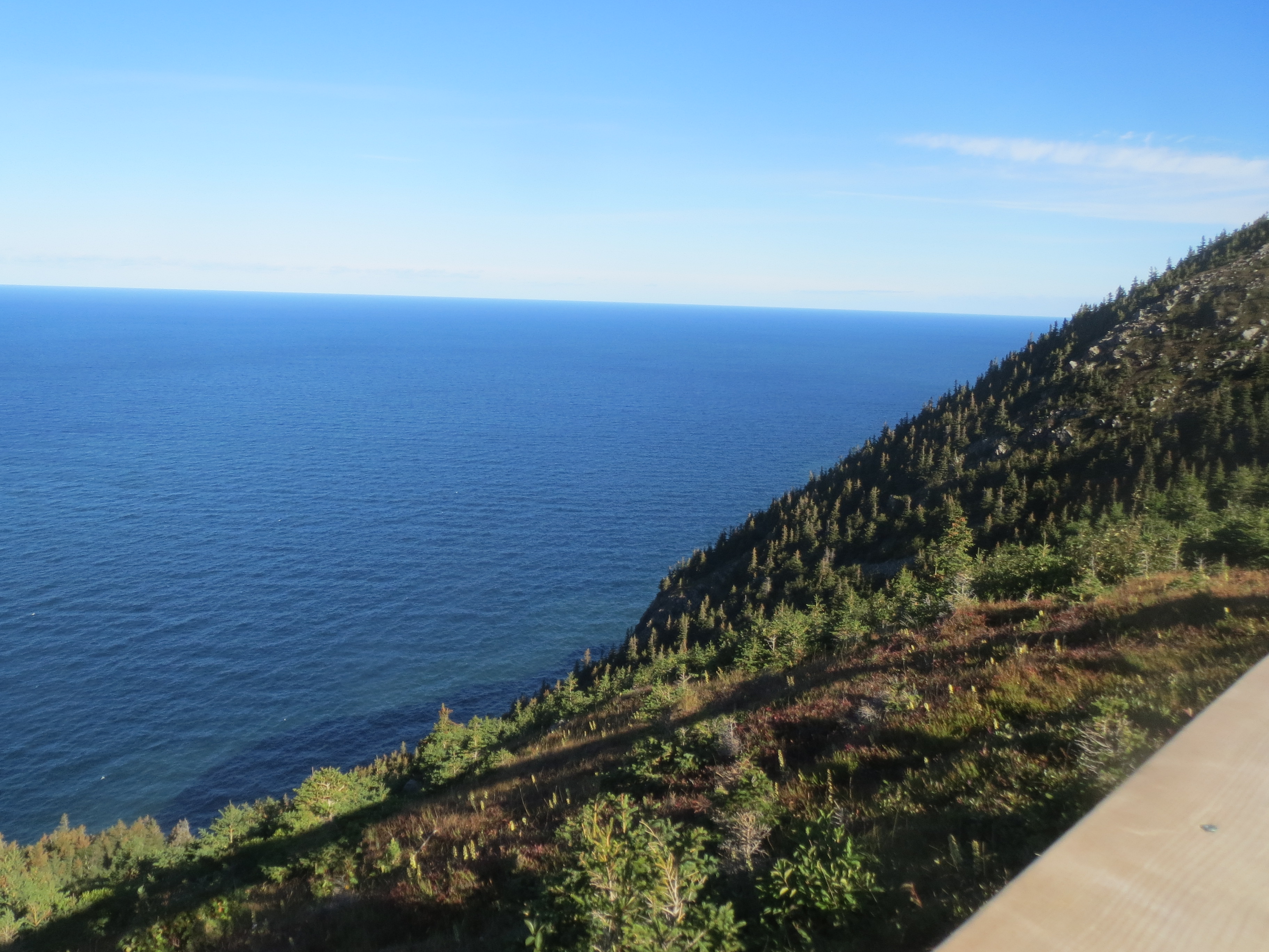
hey, look, it's the ocean |

also plants waving in the wind |
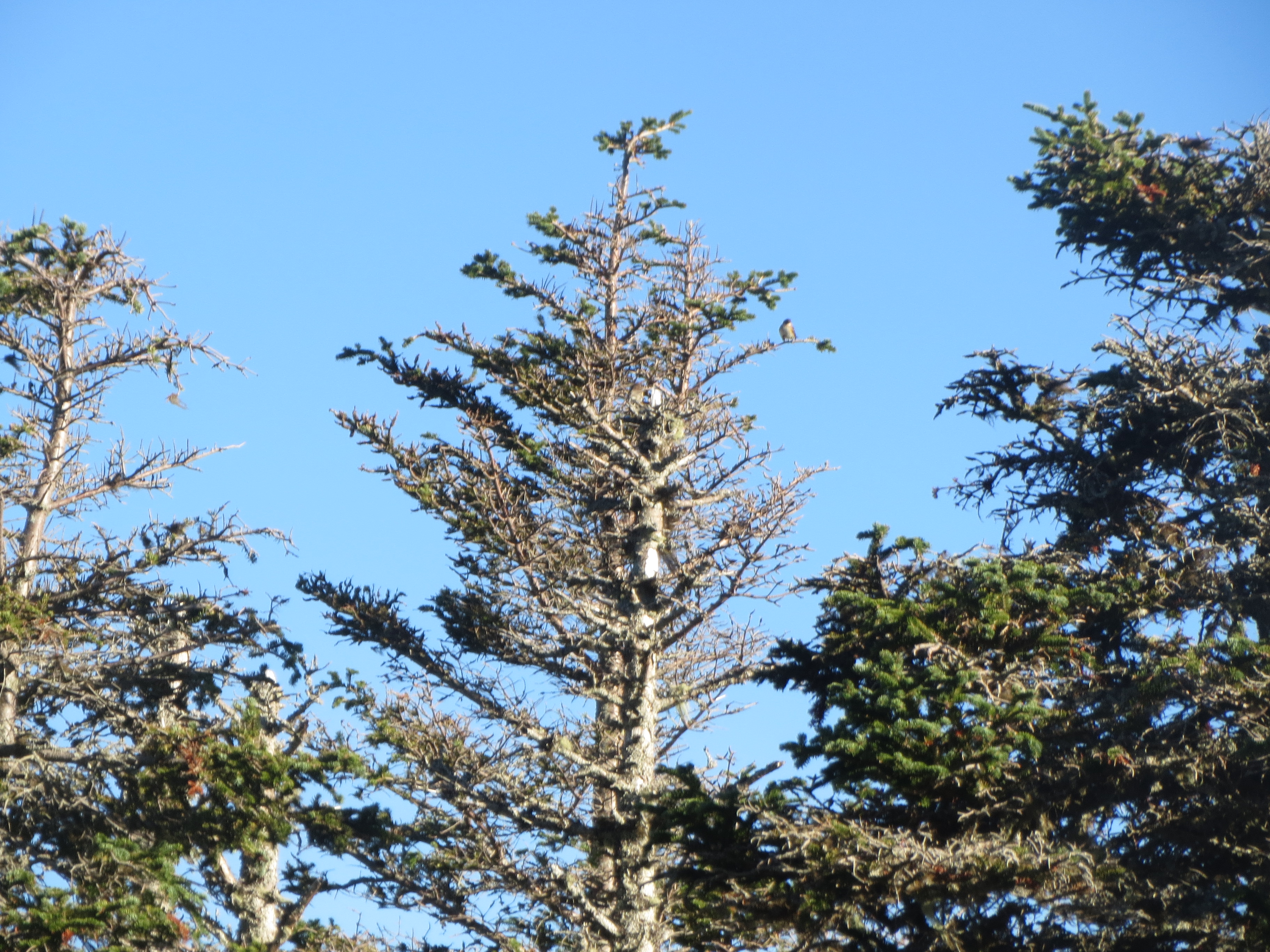
tree. contains bird |
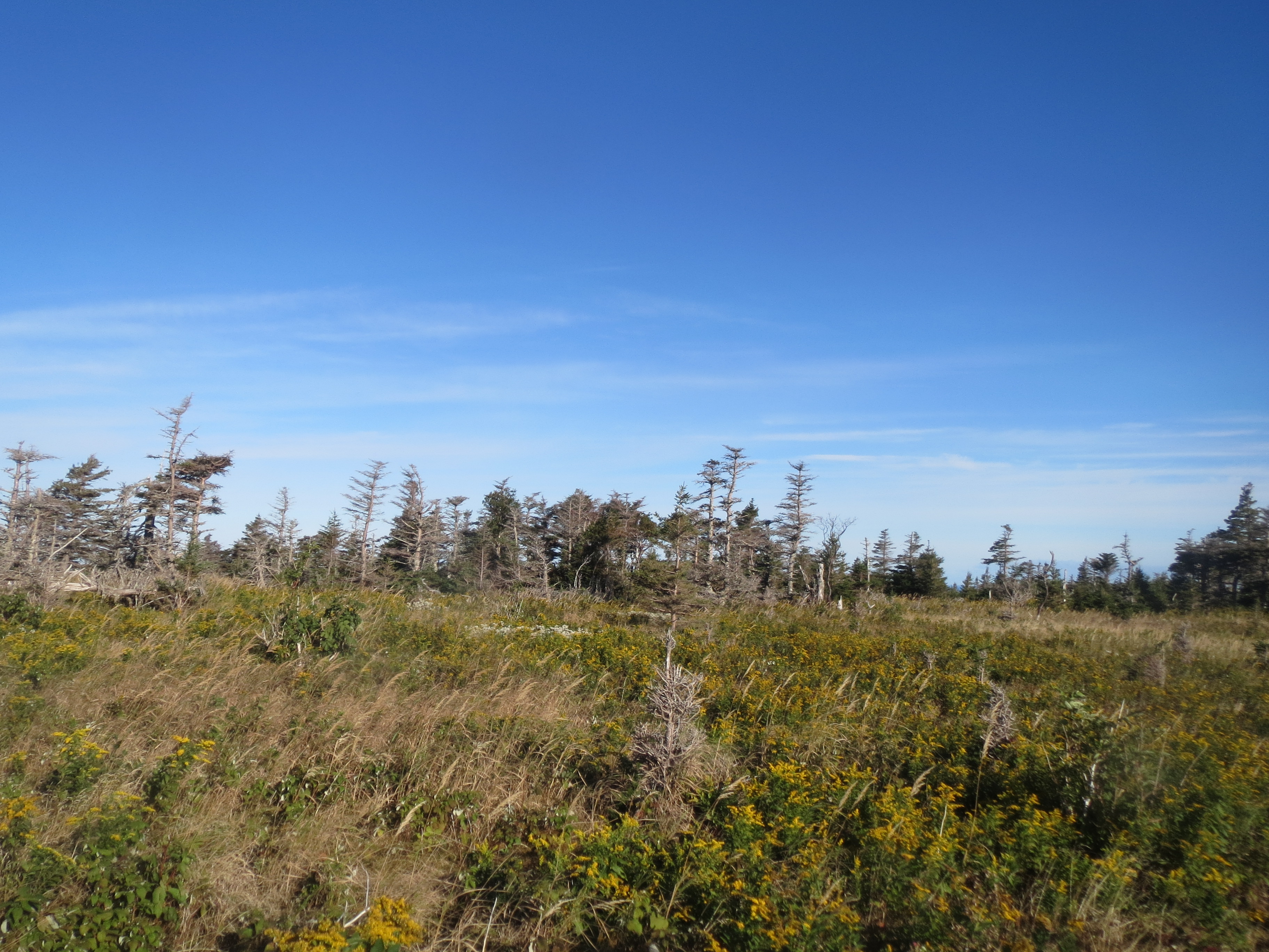
landscape. contains clouds |
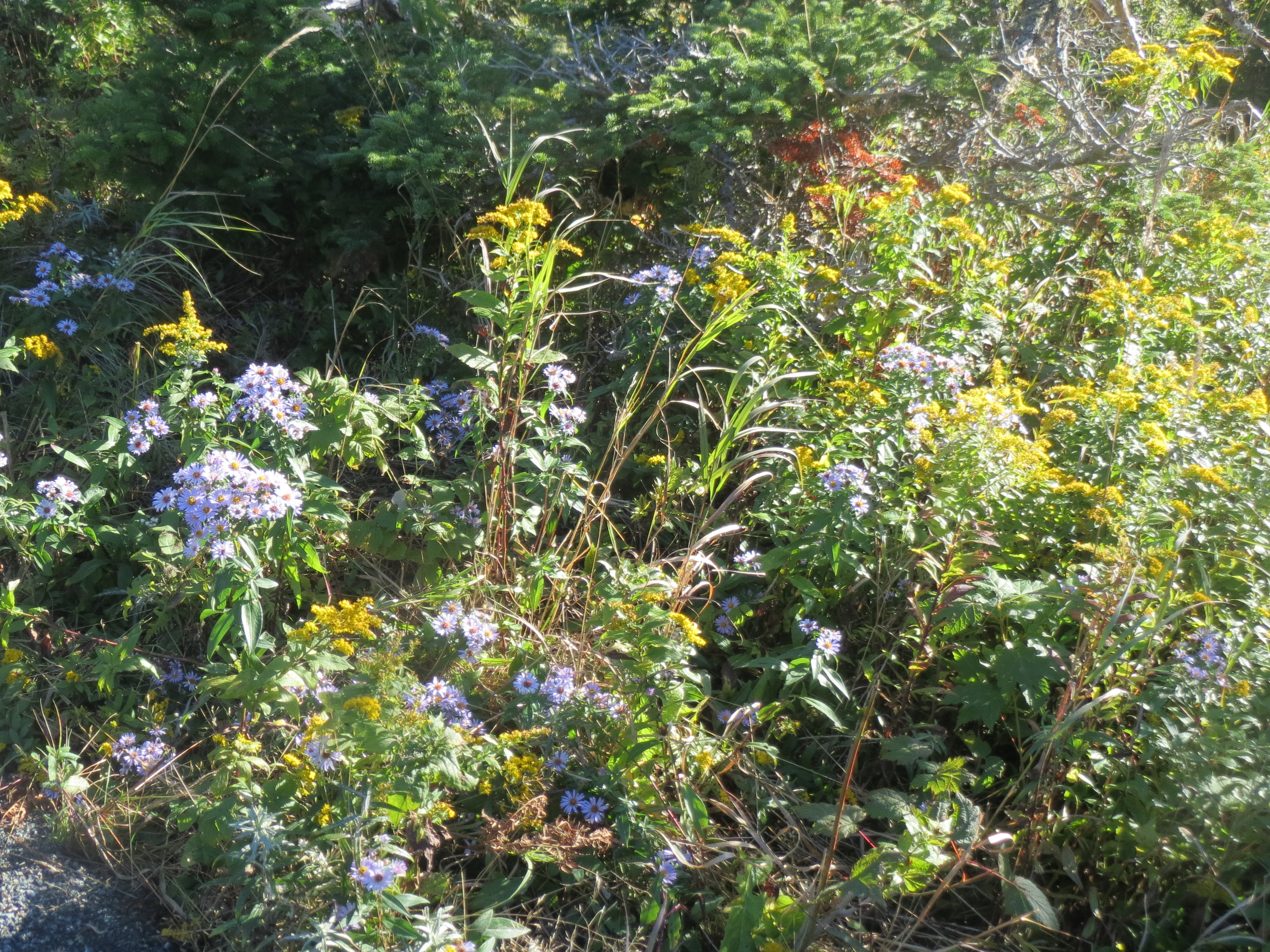
flowers |
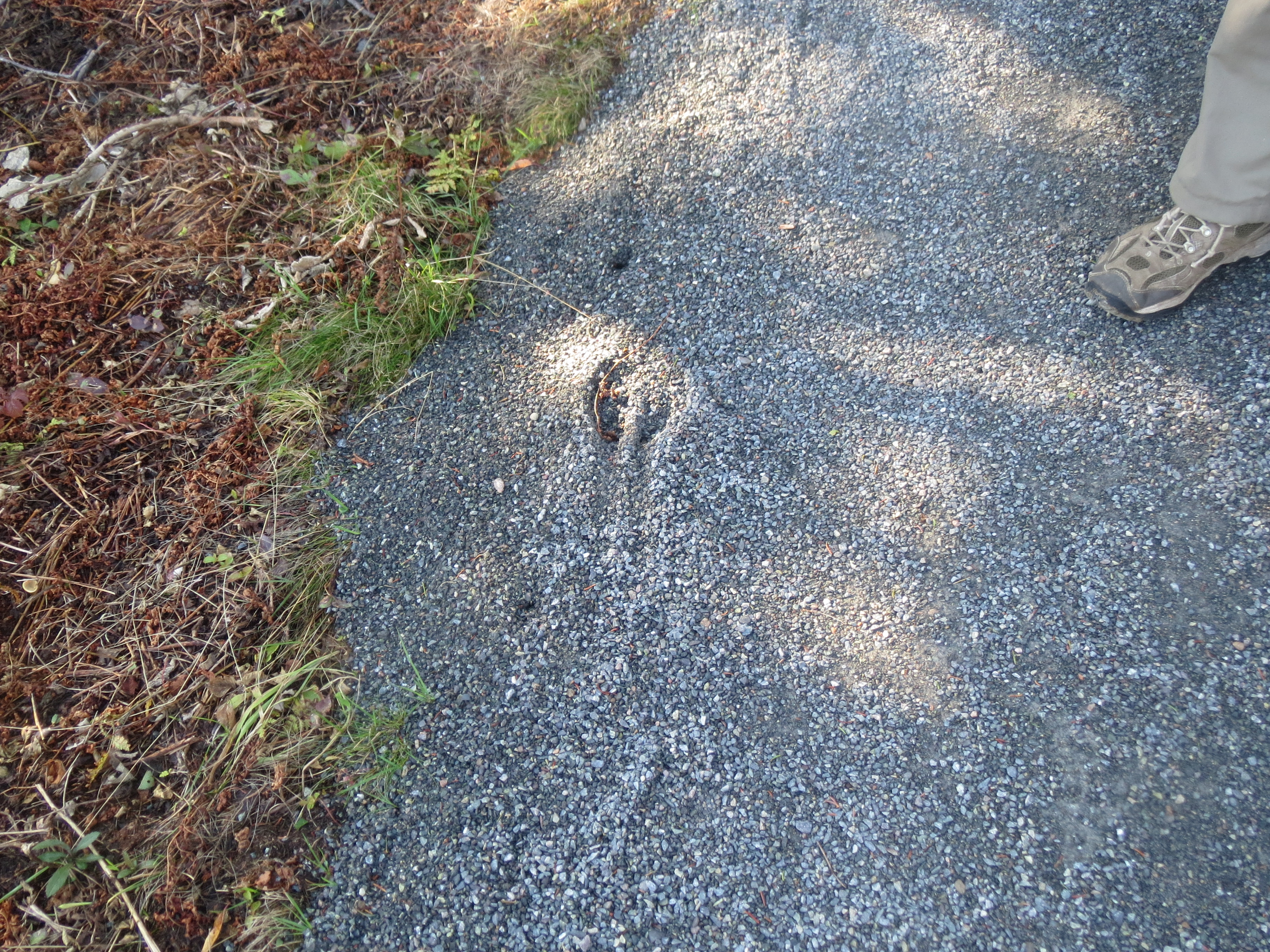
moose tracks |
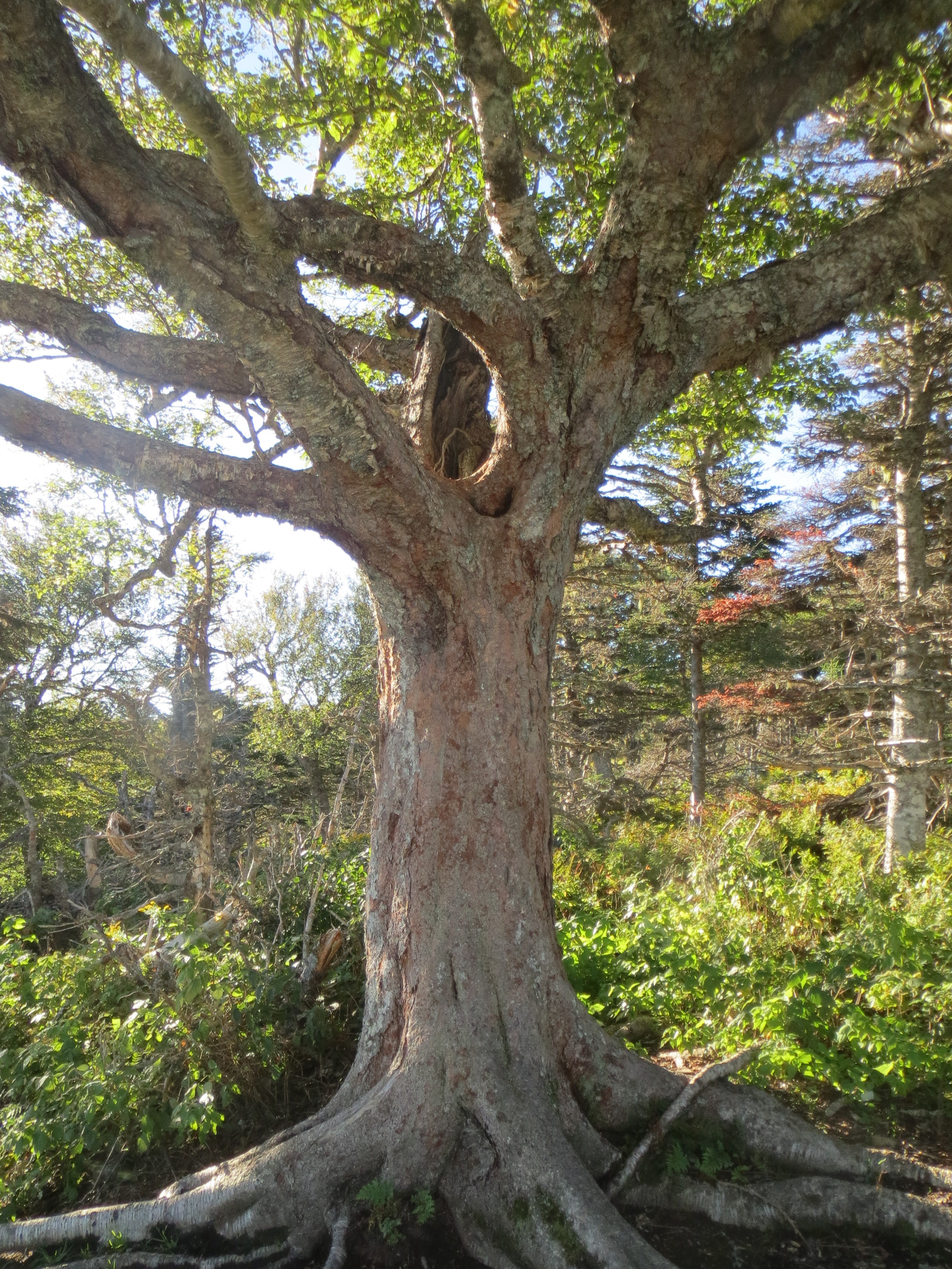
a tree |
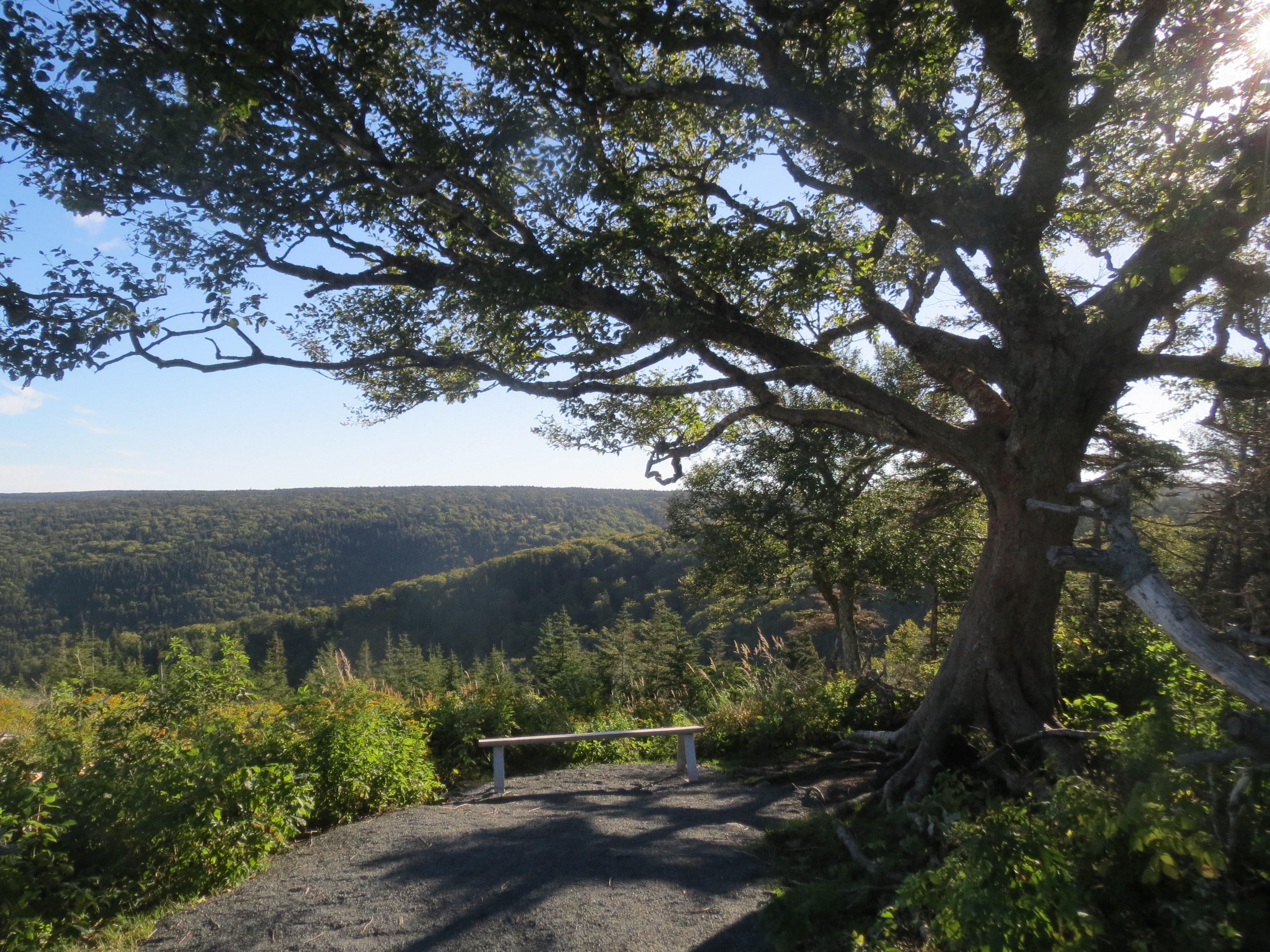
a great view, which was beside the tree all along |
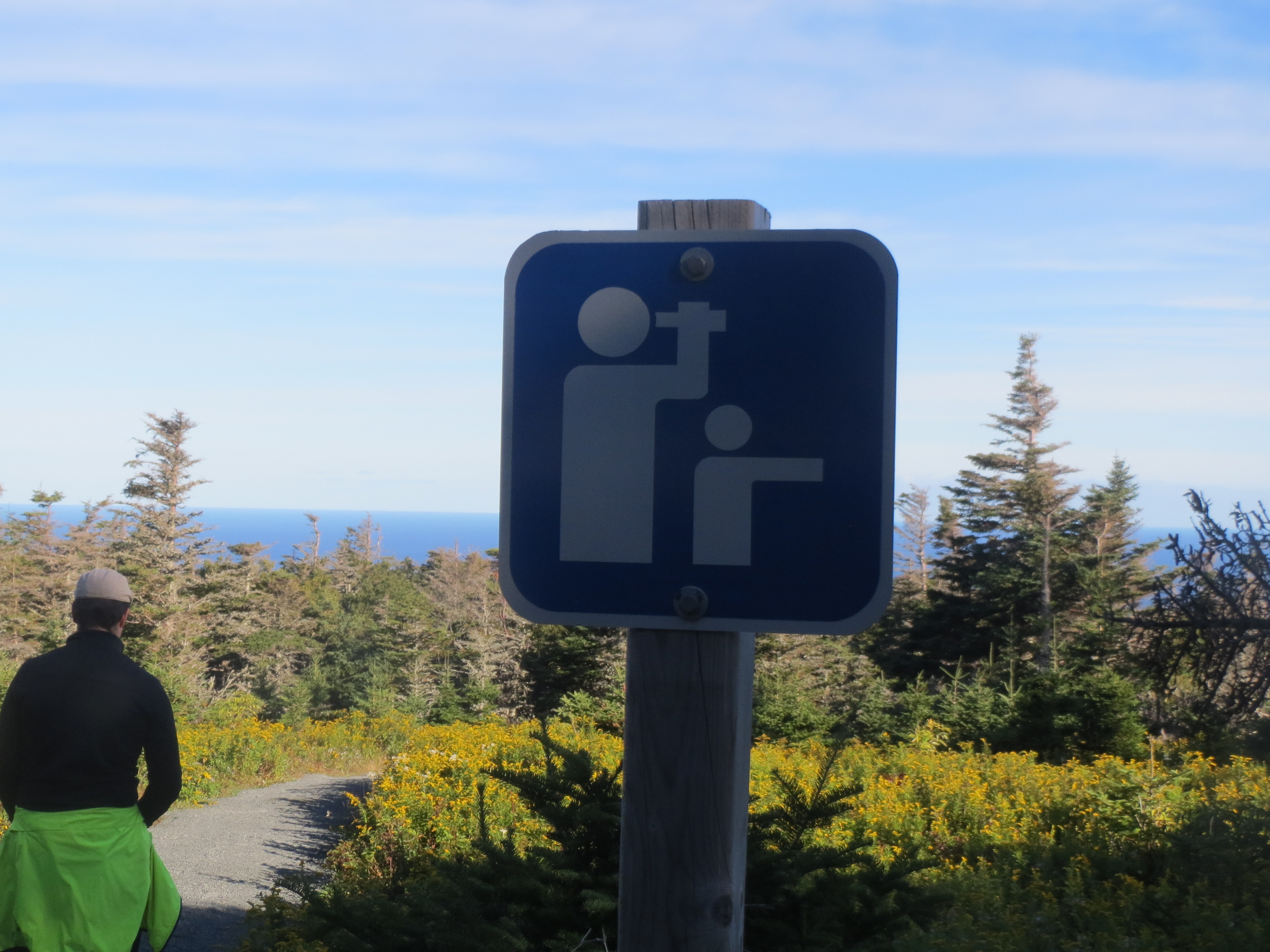
for best view, steady binoculars on child's head |
ocean view |
yellow plants are yellow |
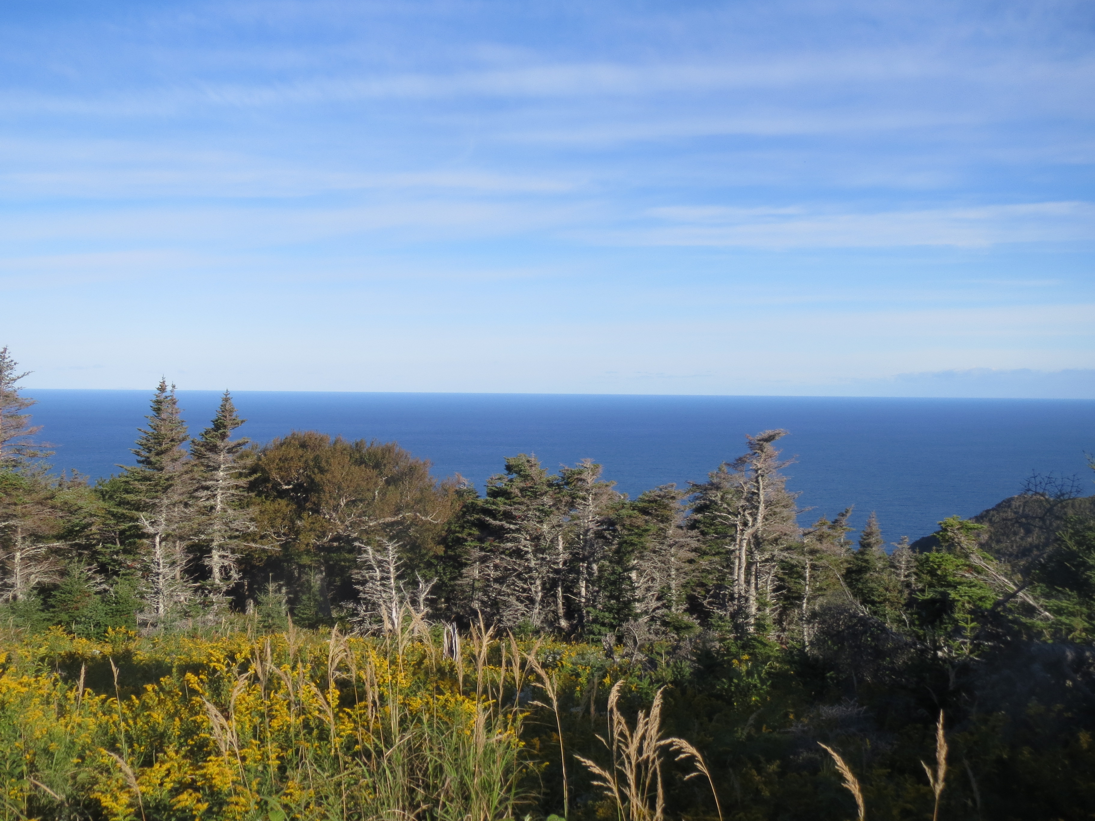
ocean view |
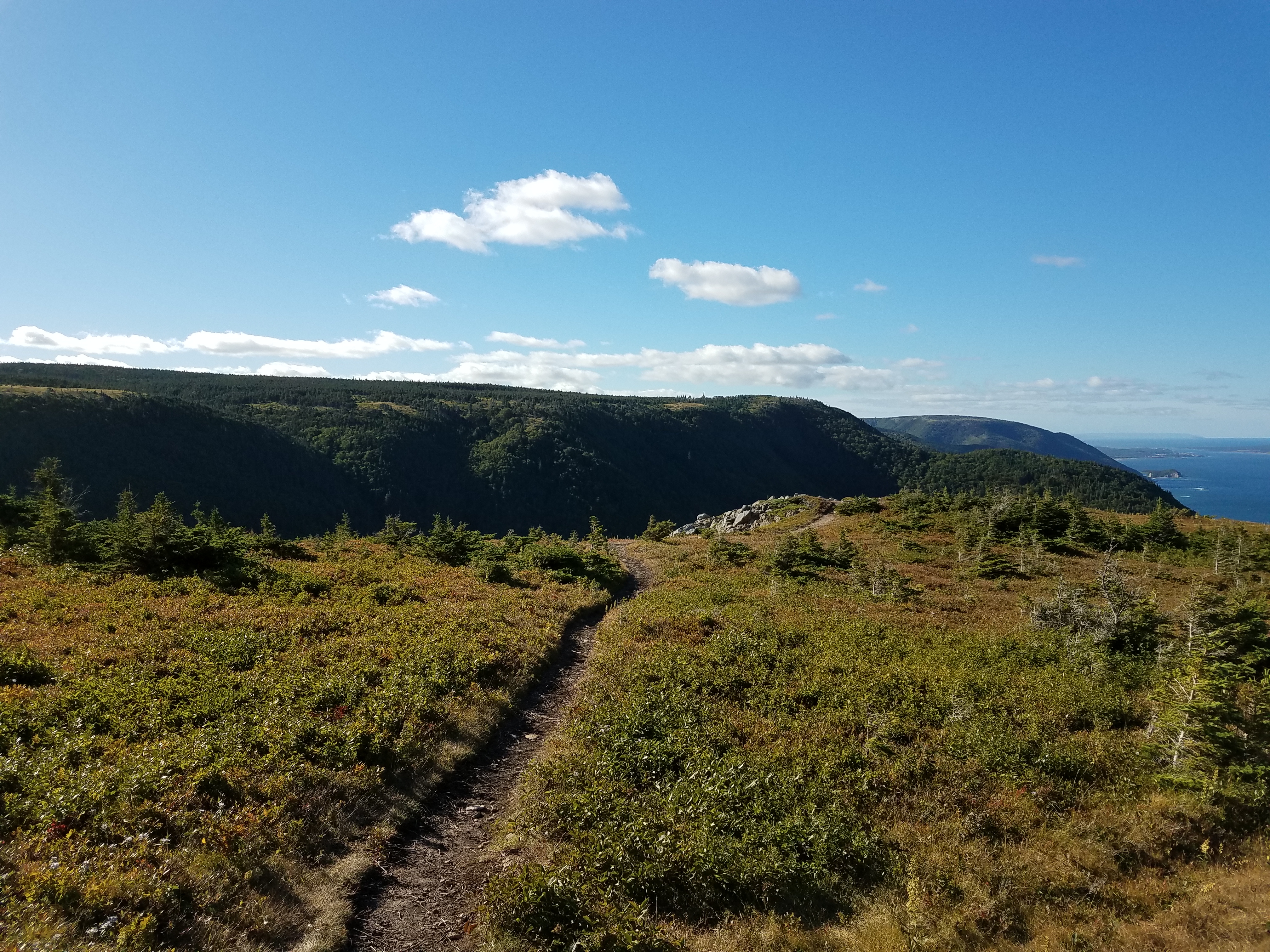
a path leading south |
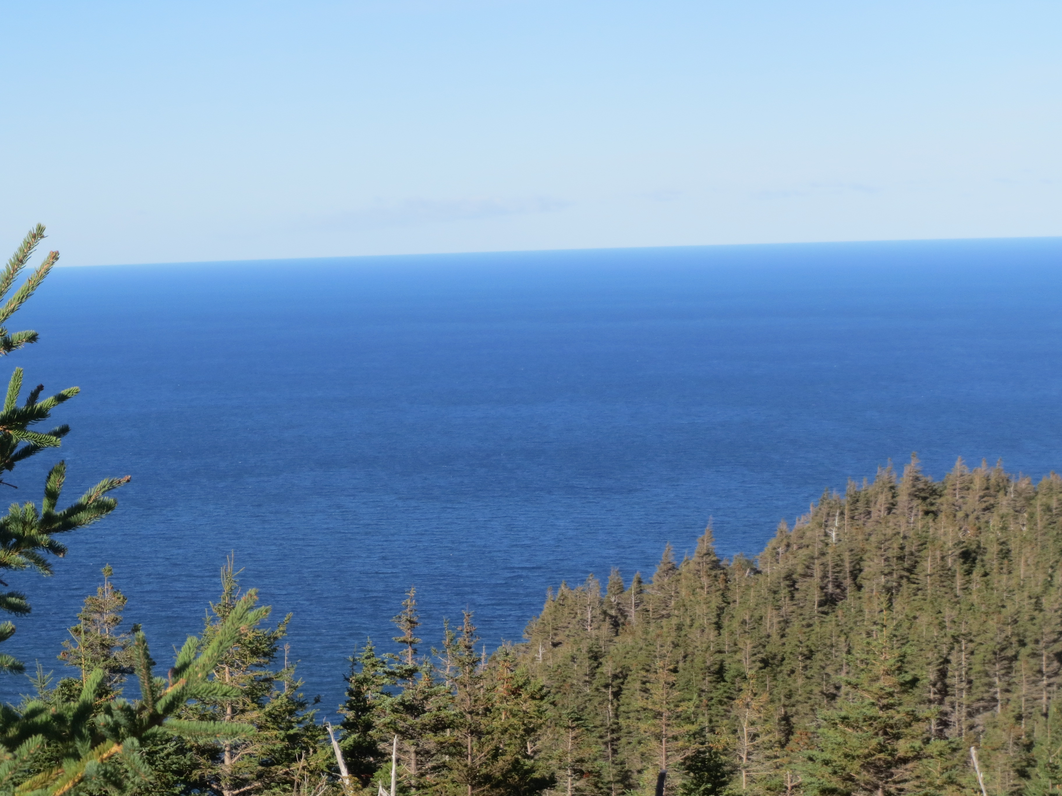
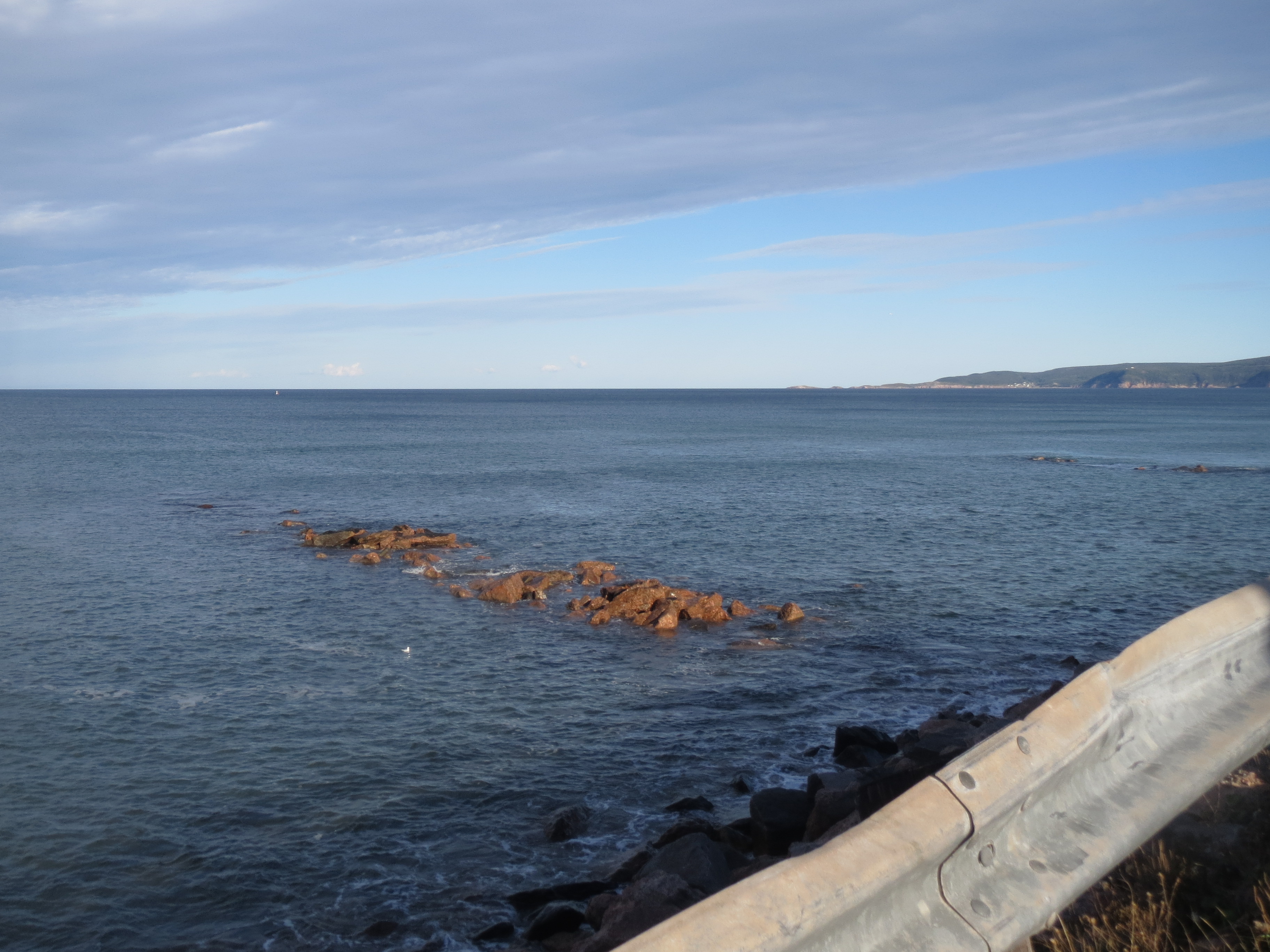
maximum ocean view |

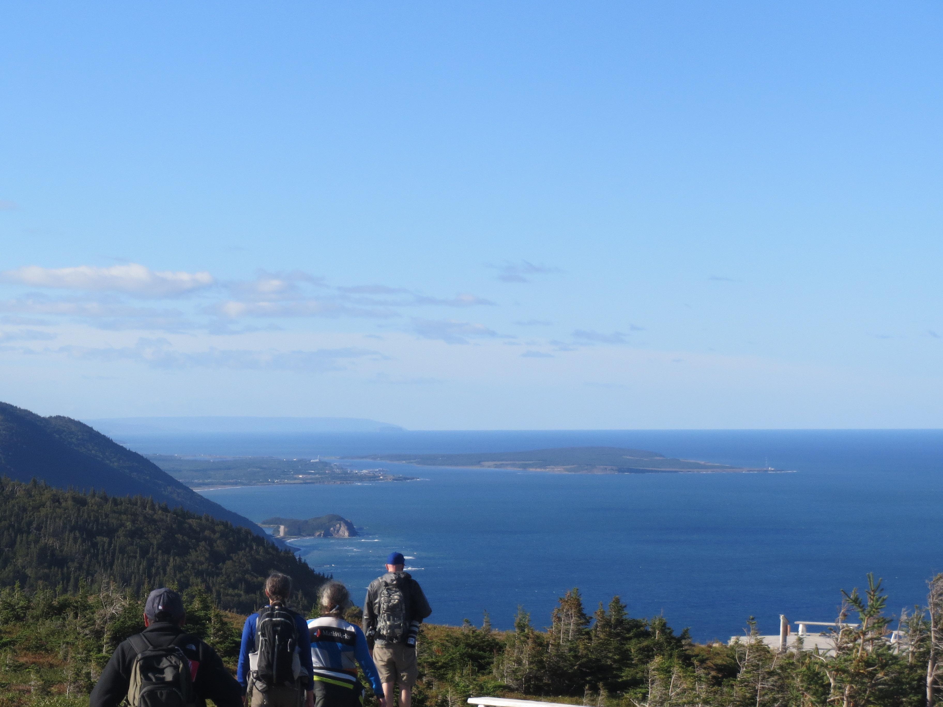
Sarah and David view the ocean |
a critter |
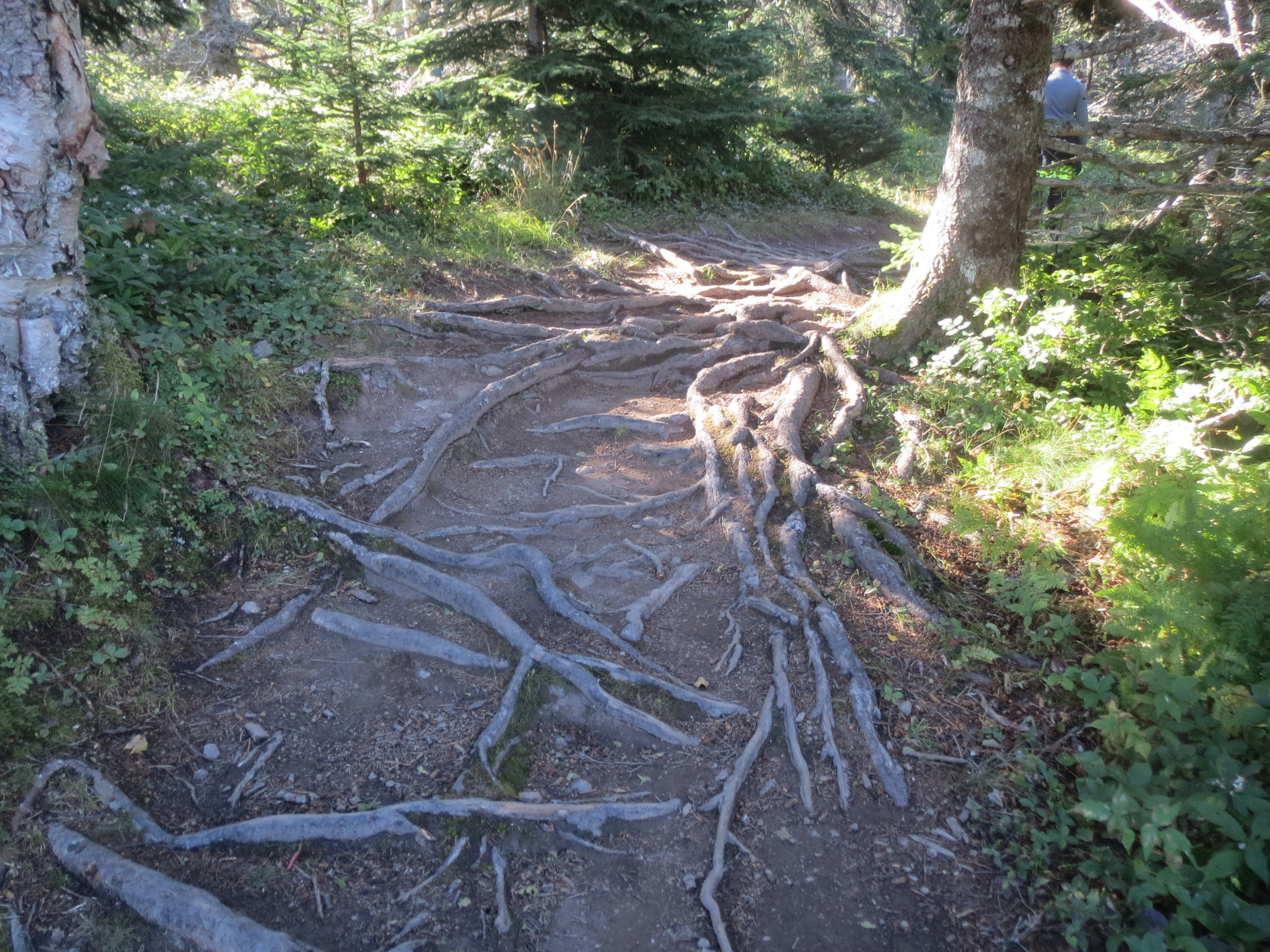
lots of tree roots |

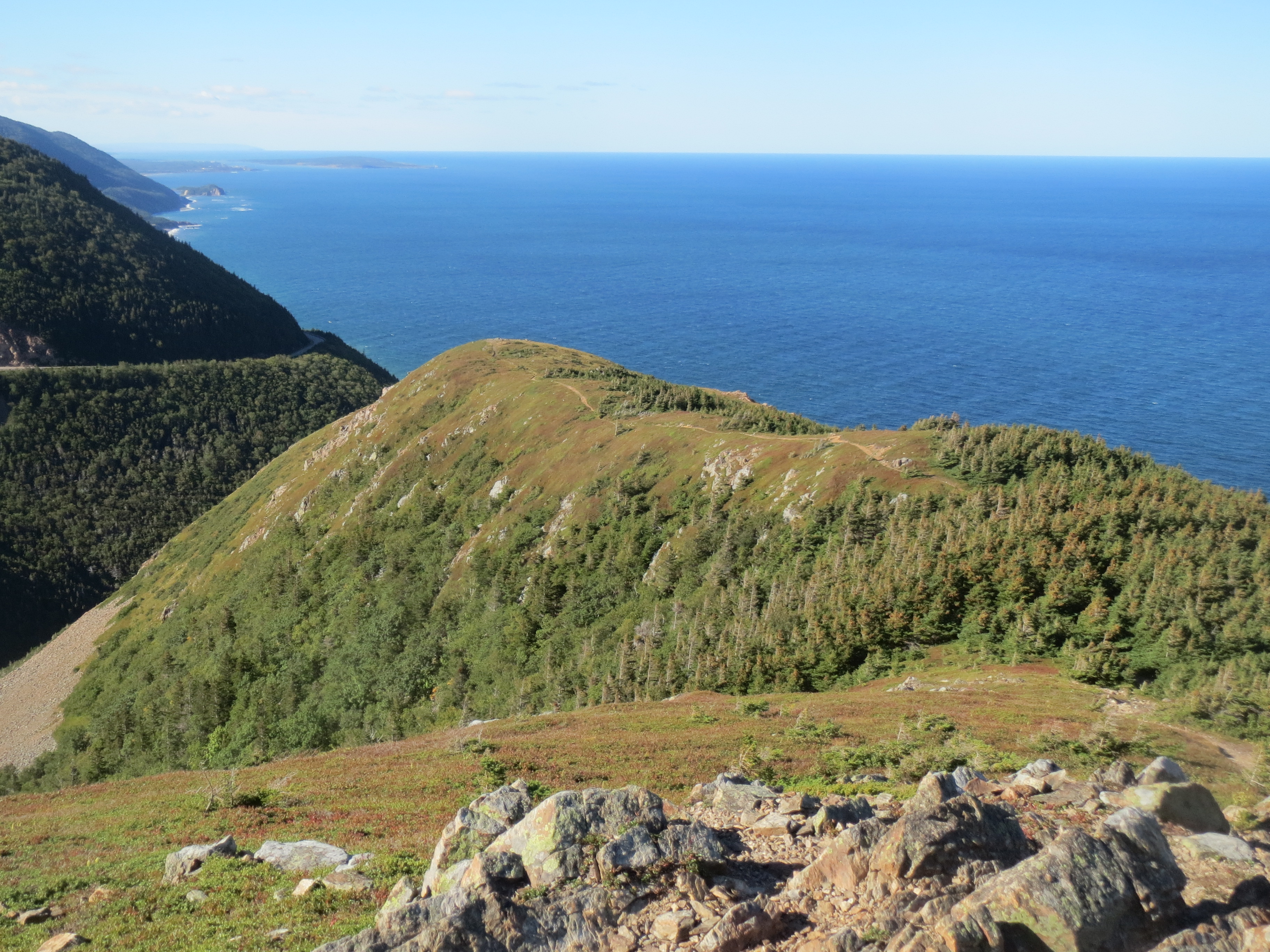
panorama of trail and coast |

panorama of observation platform |

i mean... same to you, tree |

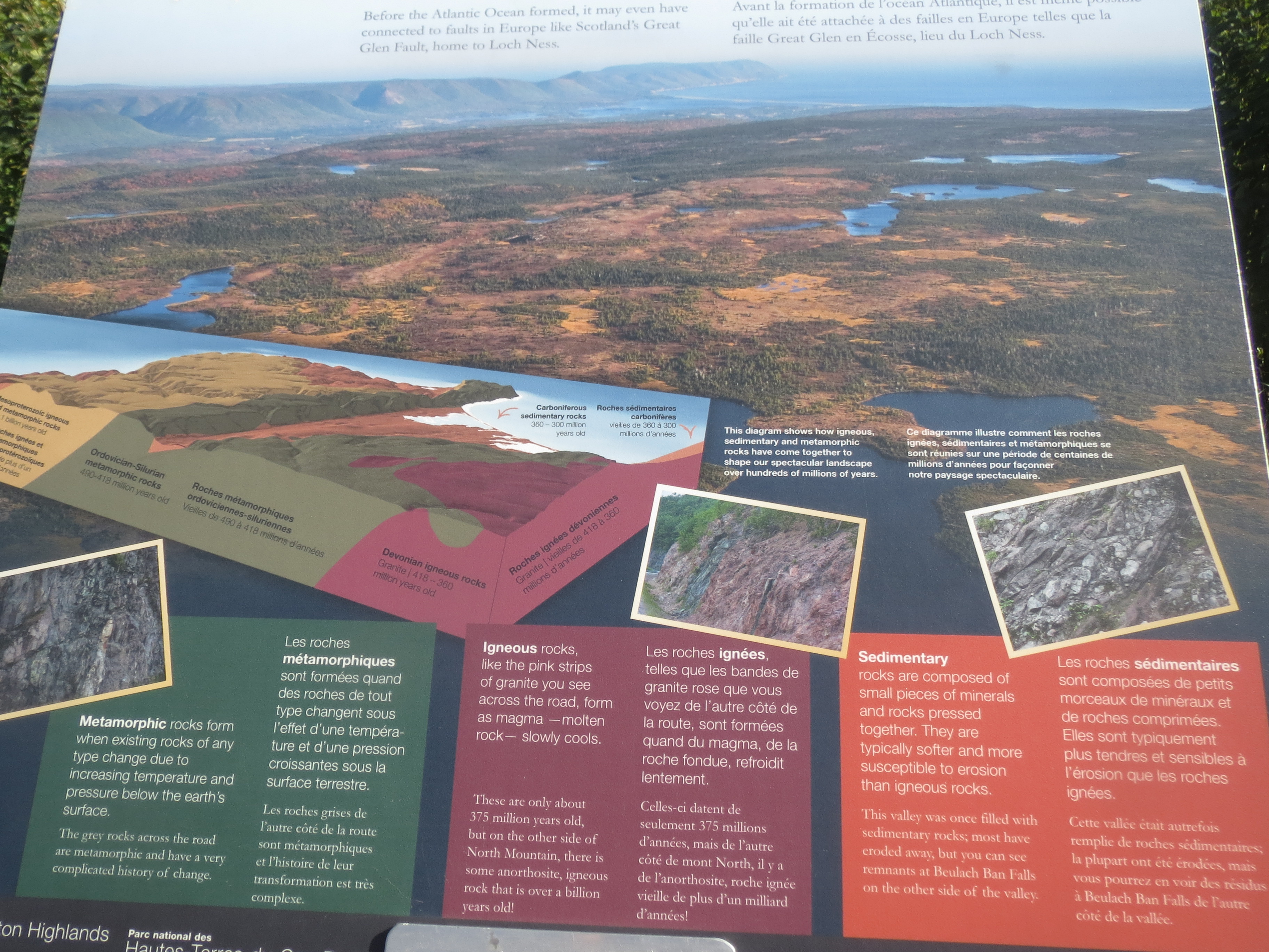
an explanation of the plaques on the steps to the observation platform (which you'll see in a later photo) |
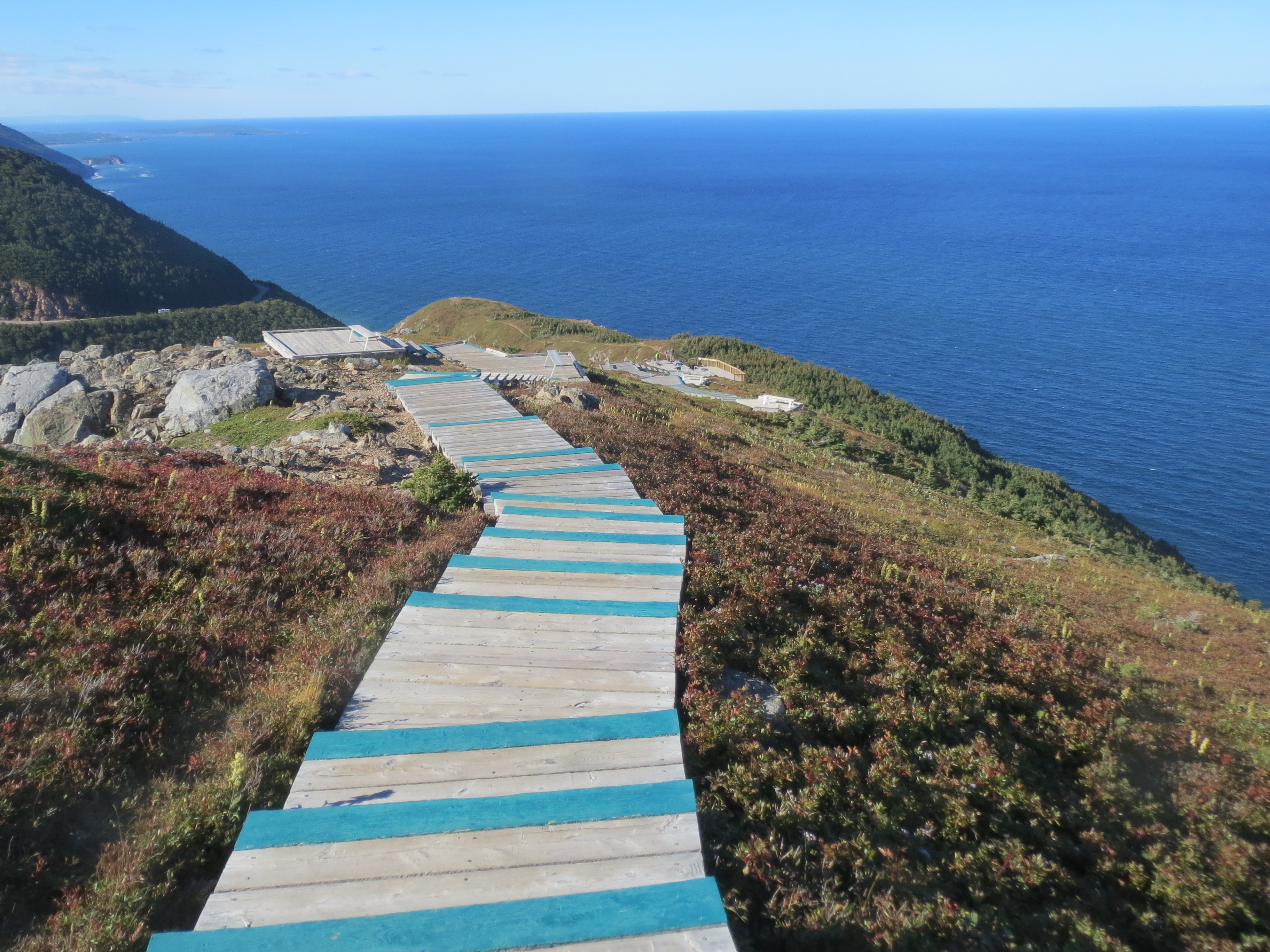
walking towards the observation platform |
observing the coastline (in the zoomed-in version of this photo you can see that metal-roofed church in Cheticamp that i was making so much noise about yesterday) |

the view landward |
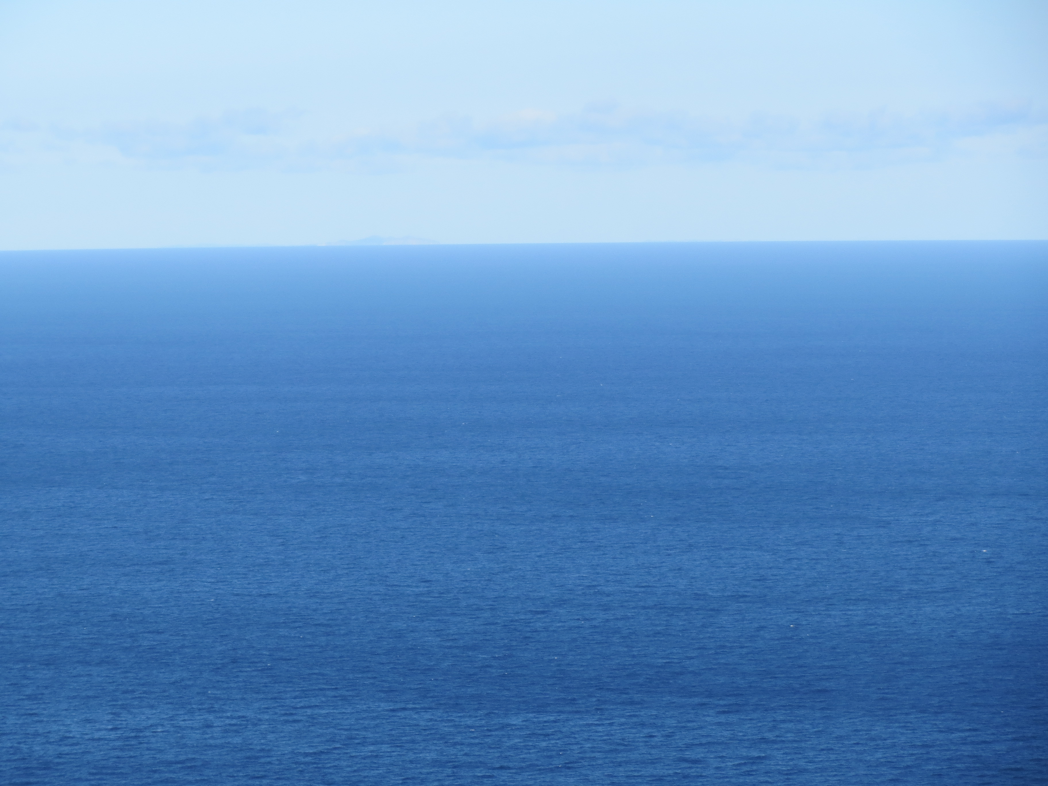
there's a lot of water out there |
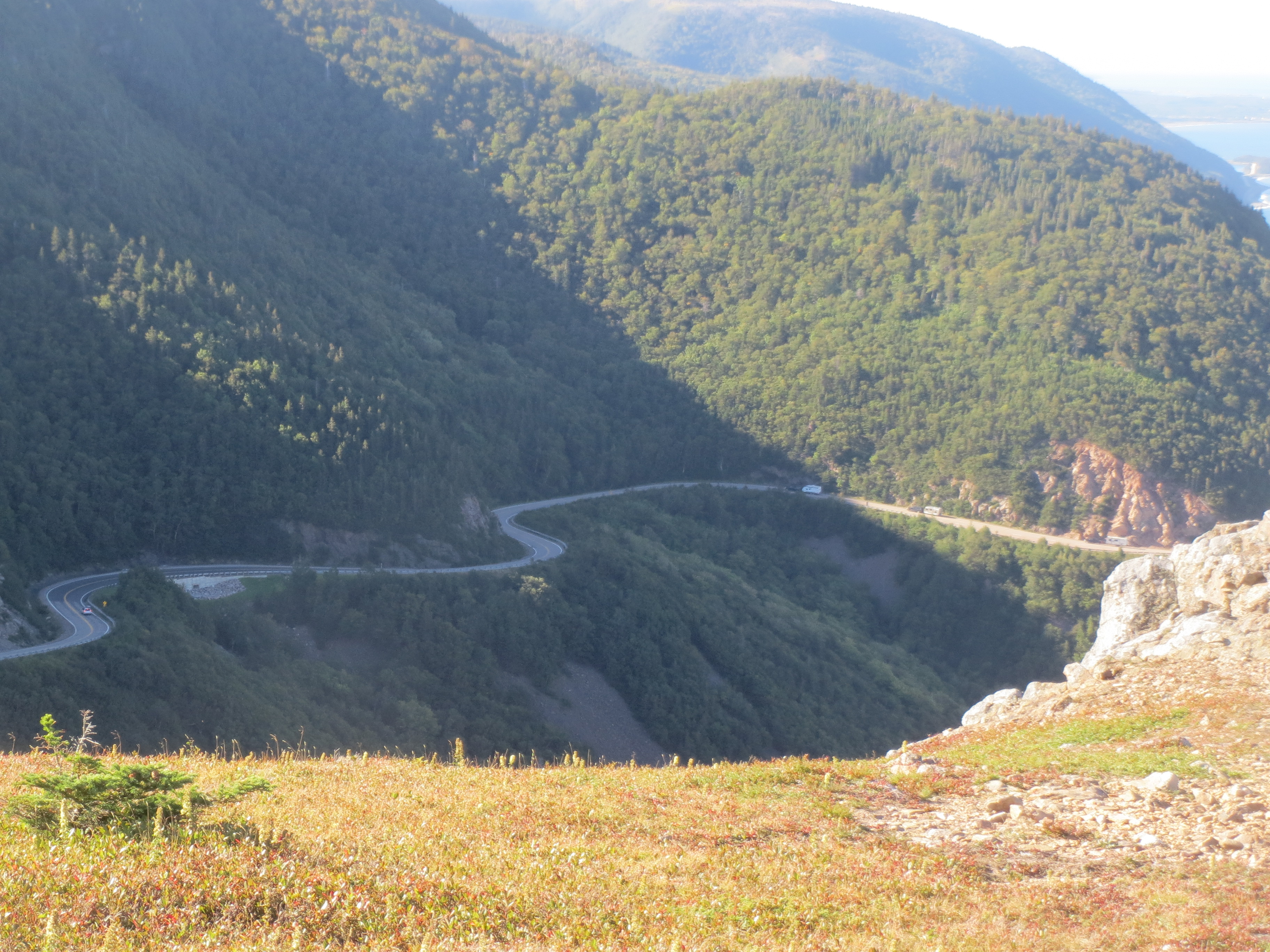
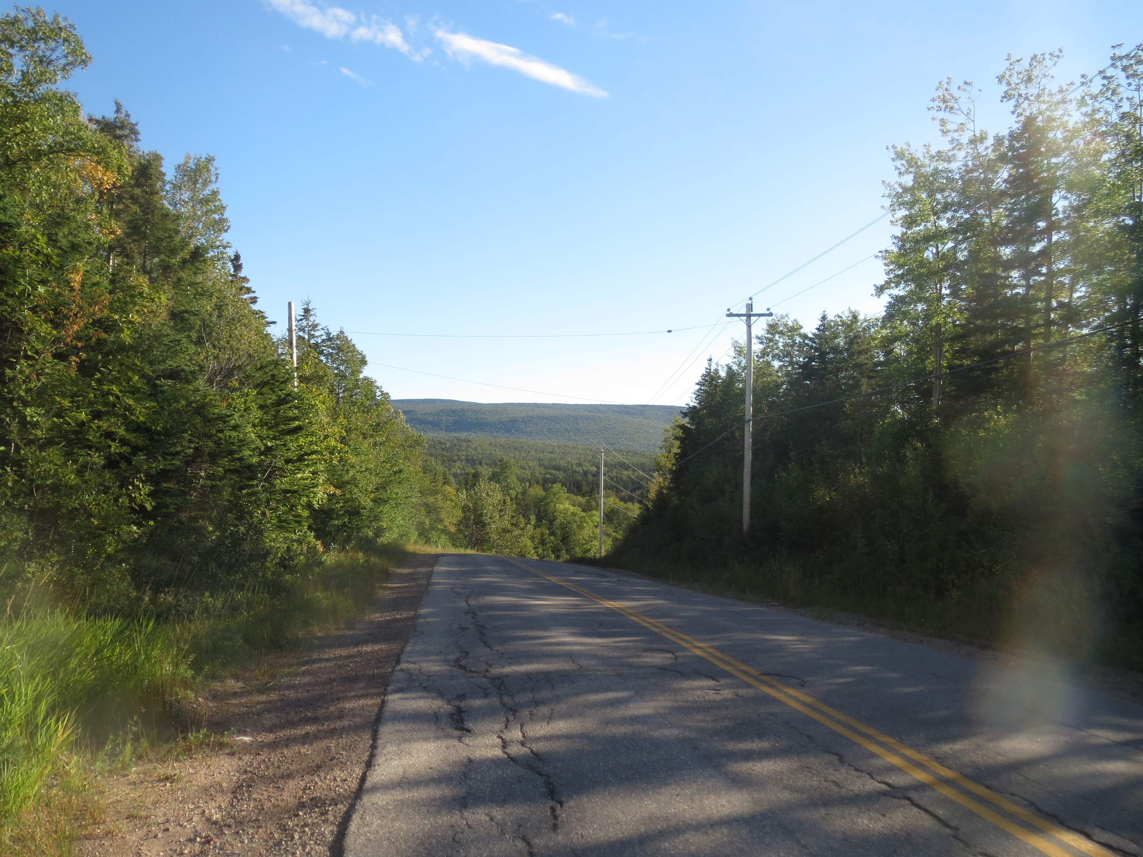
we biked up that yesterday |
that, too |
steps down to the lower observation platform |

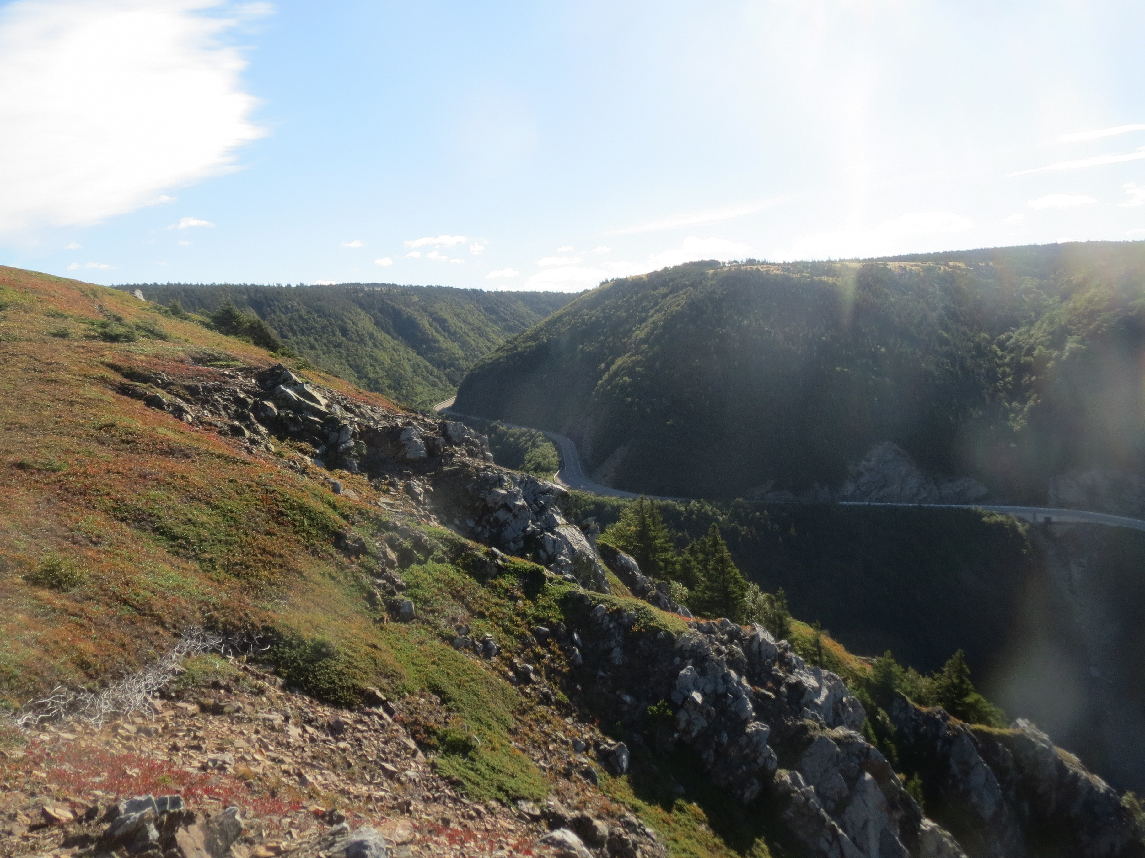
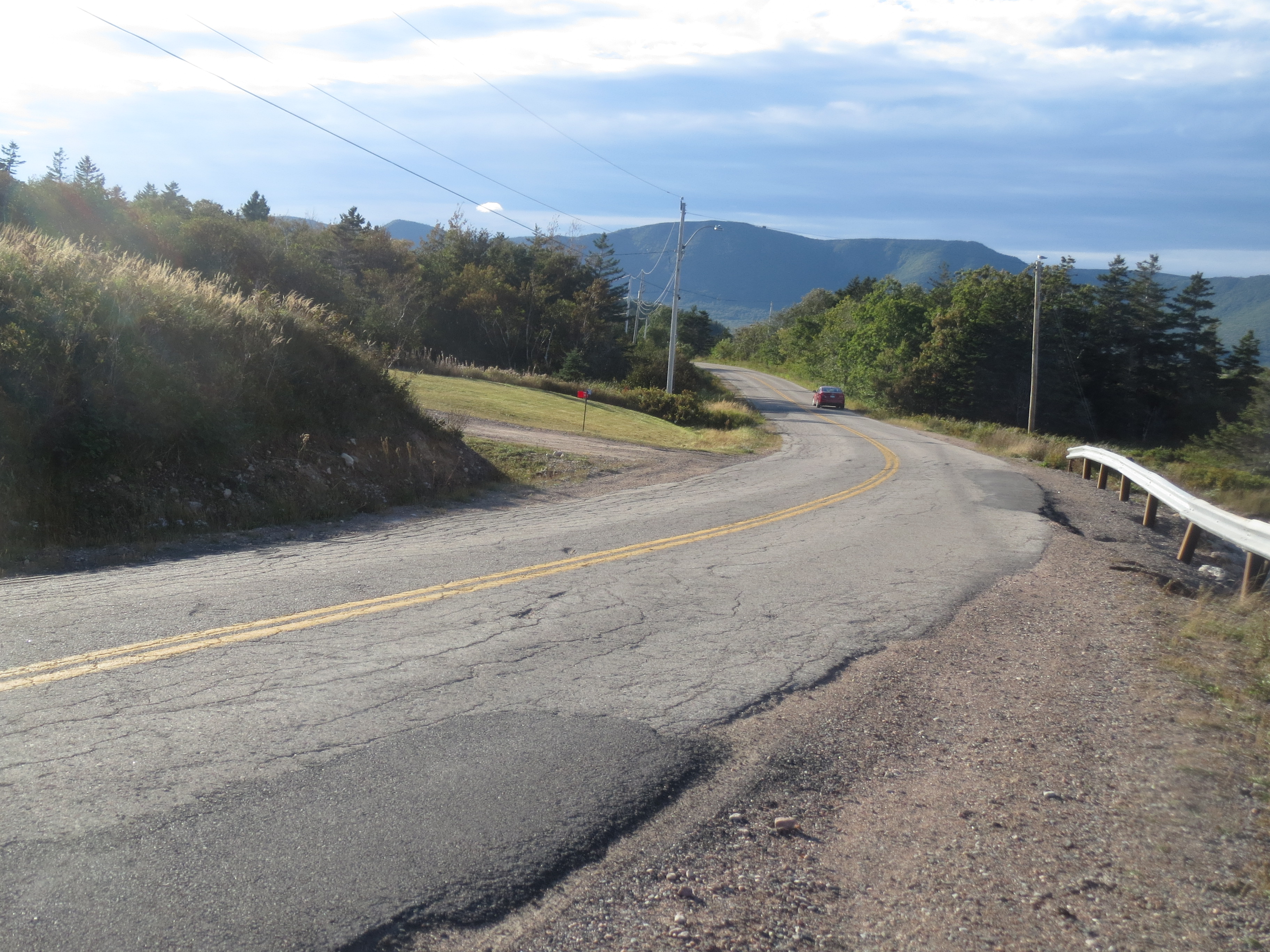
more of the coastal road |
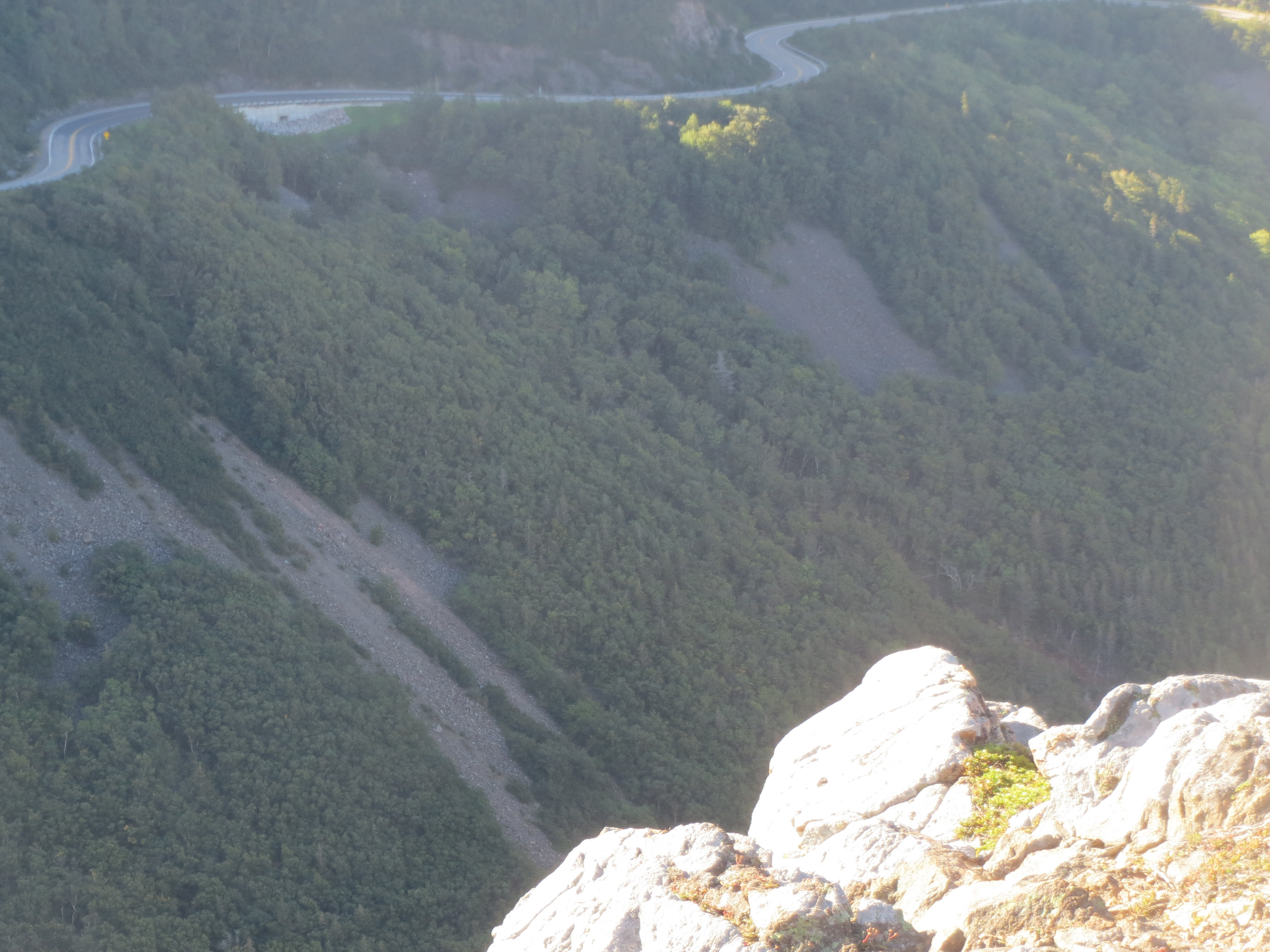
hillside below the road |
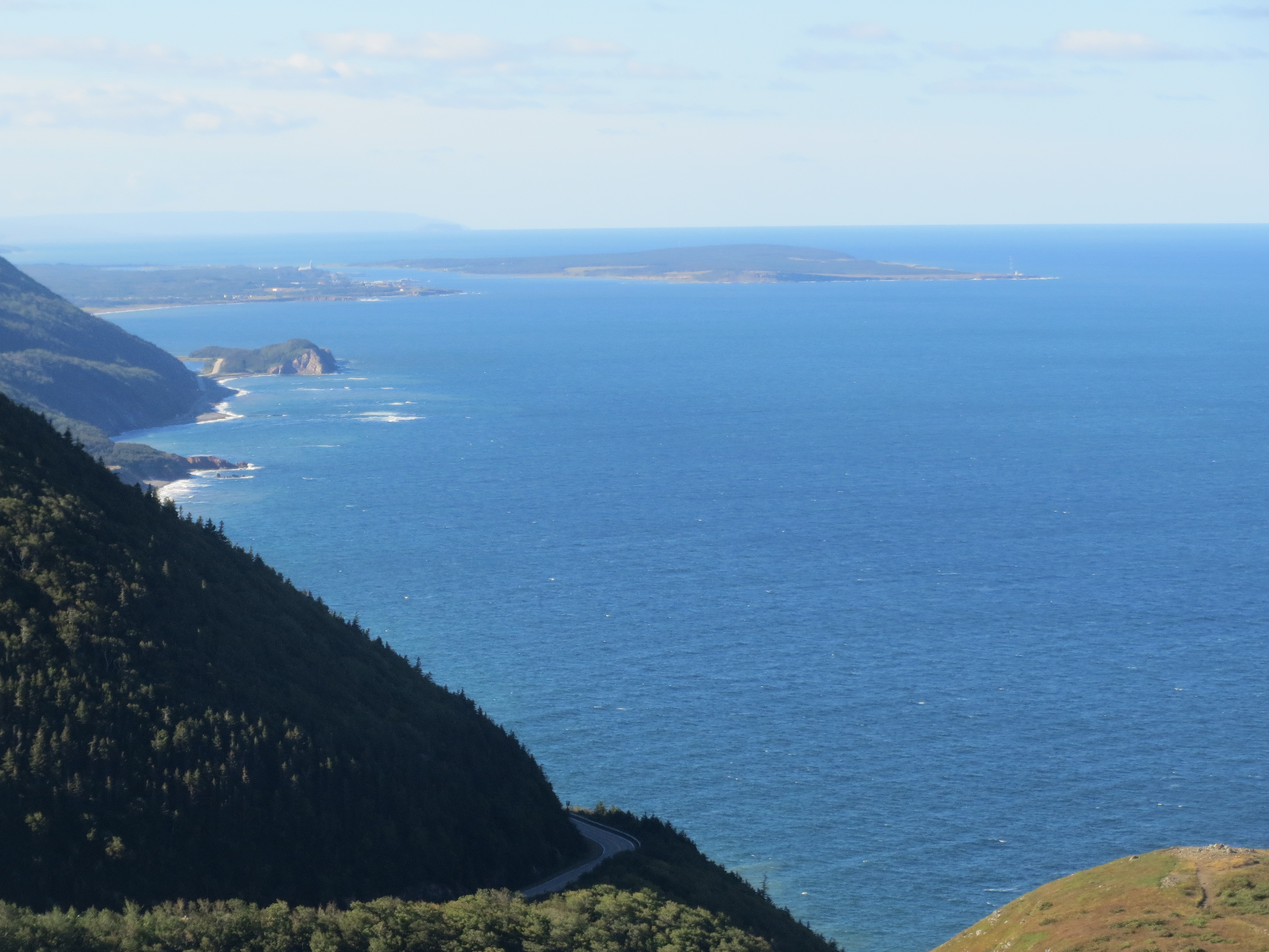
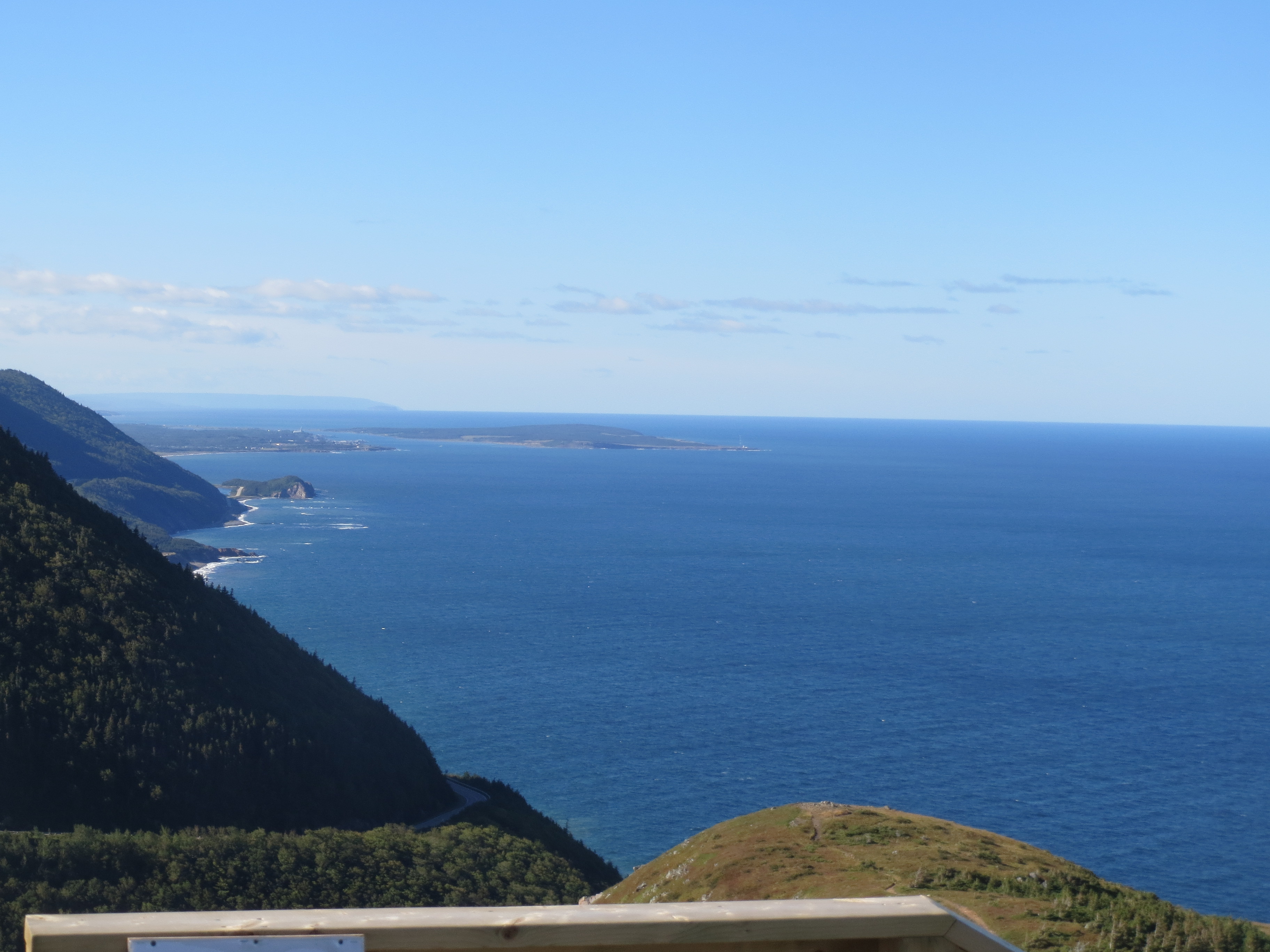
one last iconic coastline distance view; you can see the lighthouse point on the right edge of the island |
a totally unauthorized walking trail out to the end of the point, which we were good and did not take |
one last iconic coastline close view |
ocean view to the north |
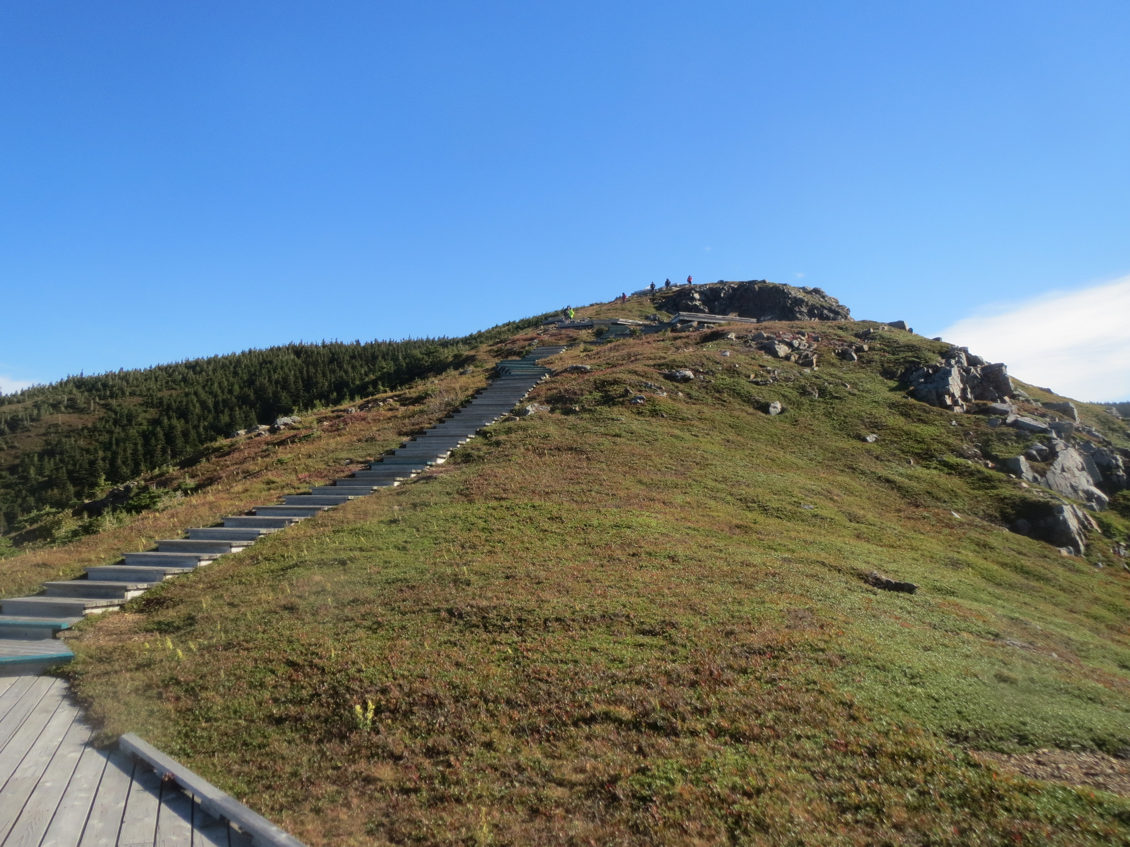
steps up from the observation platform |
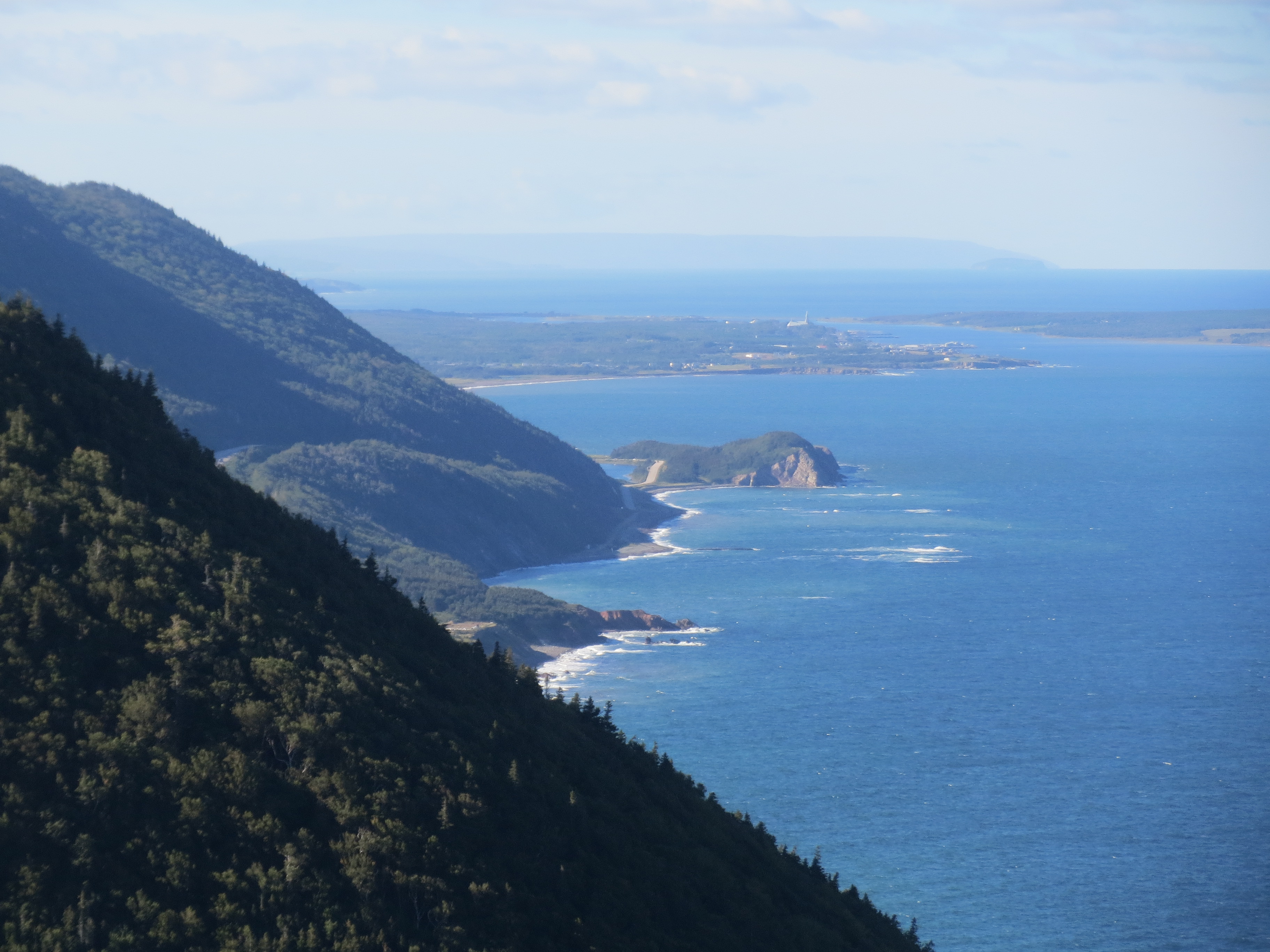
okay, last south coastline view for real this time |
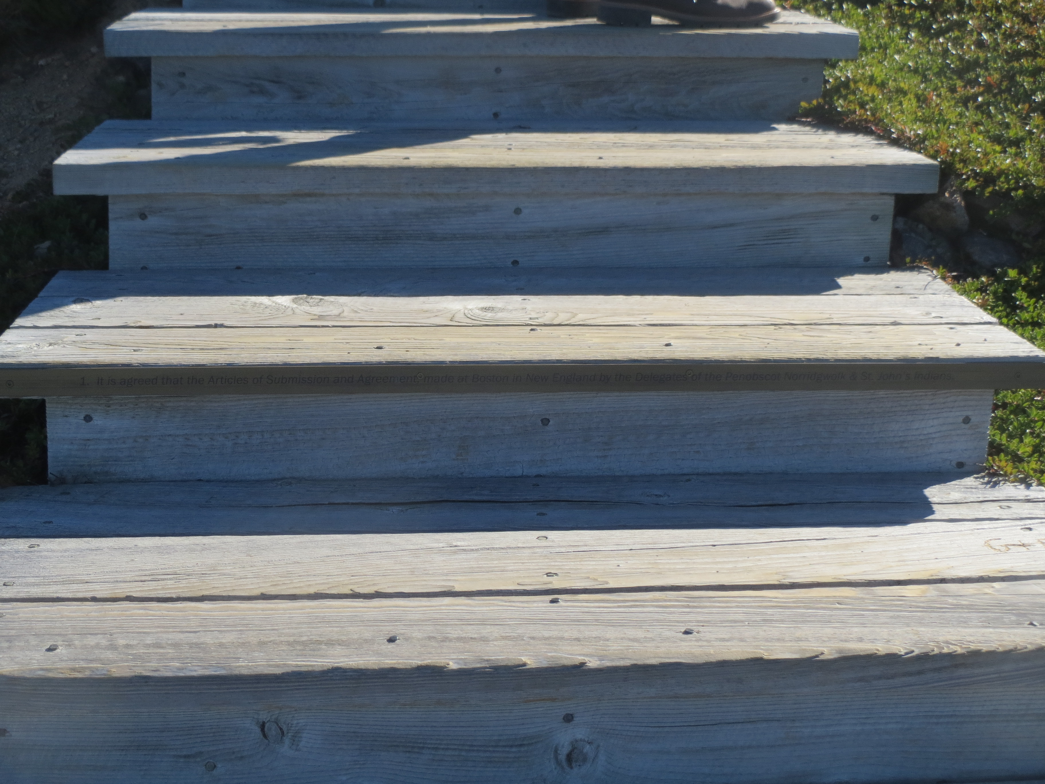
the first of the plaques on the steps |

more miscellaneous plants |
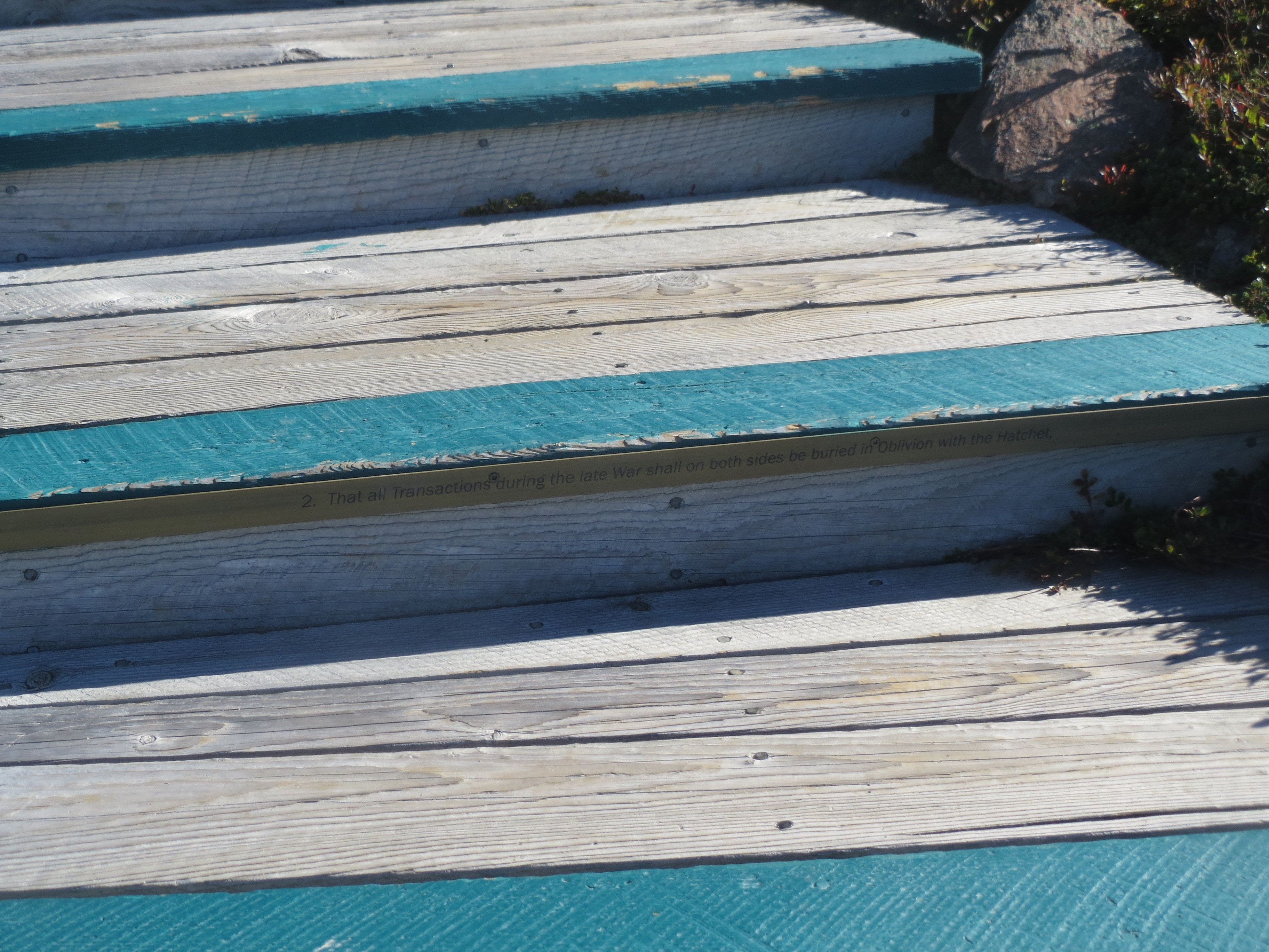
the second of the plaques on the steps |
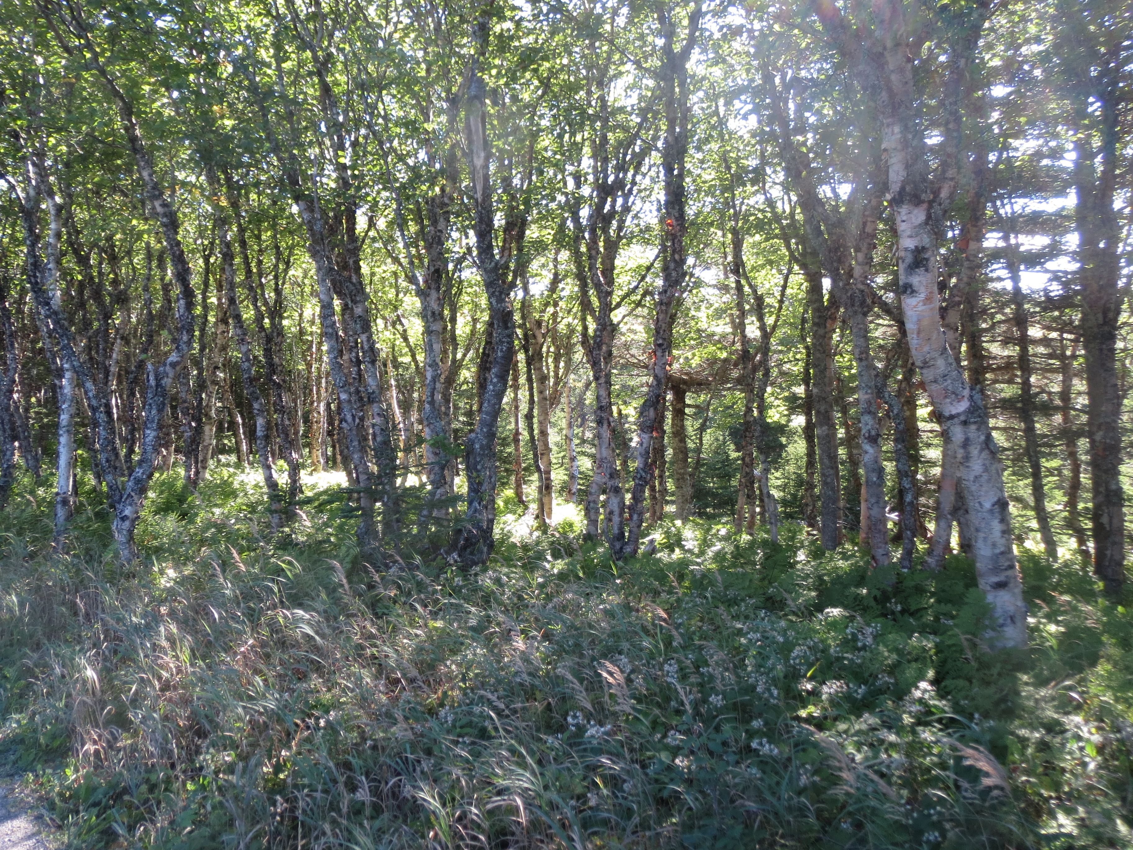
some trees |
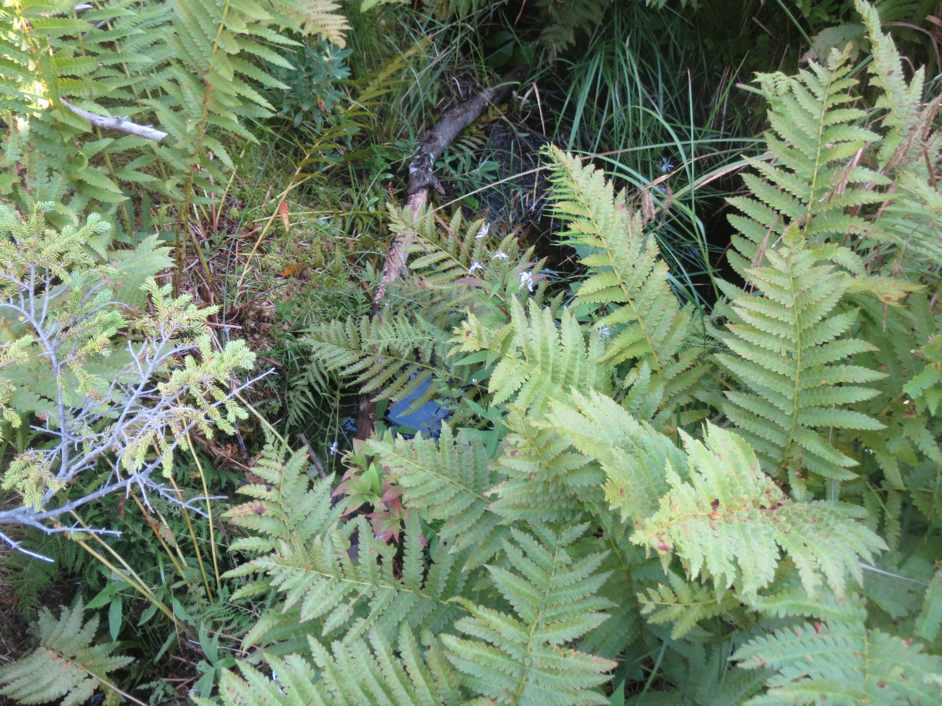
a stream under some ferns |
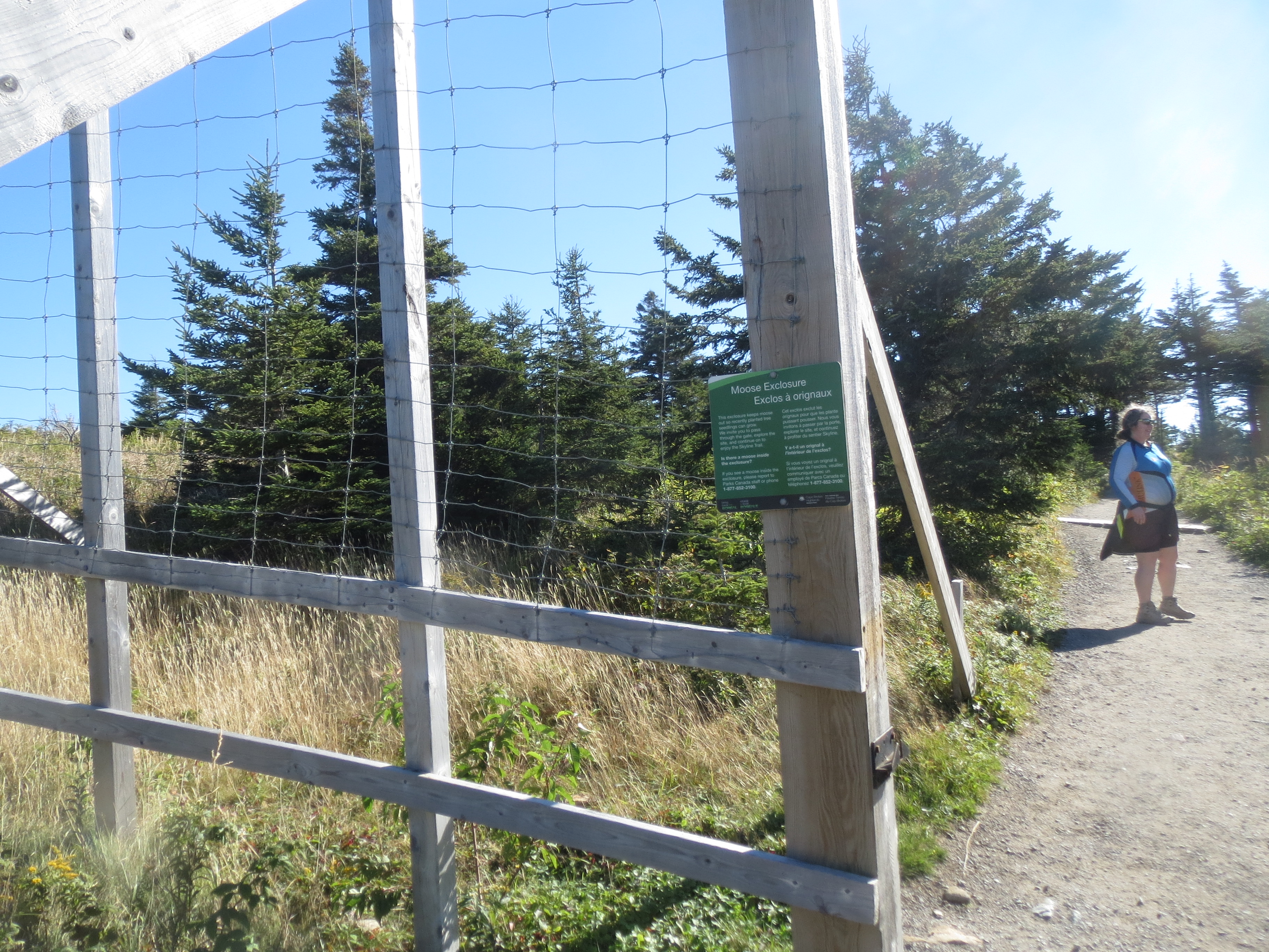
the inside of the fence is defined as the outside of the moose |

a quartz-y sort of rock |

the view inside the exclosure |

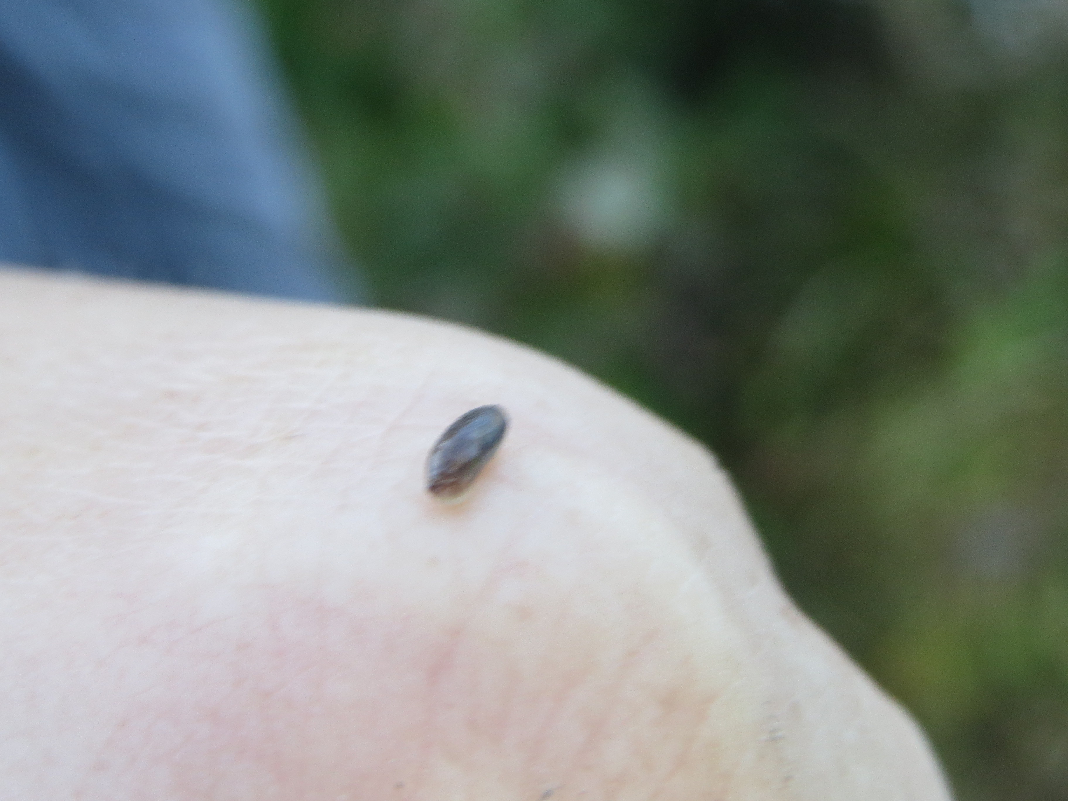
we saw a number of these insects during the week, but i never got a picture of a live one |

we did not visit the Skyline Trail by bike, but it's nice to know that if we had, there would have been a bike rack |
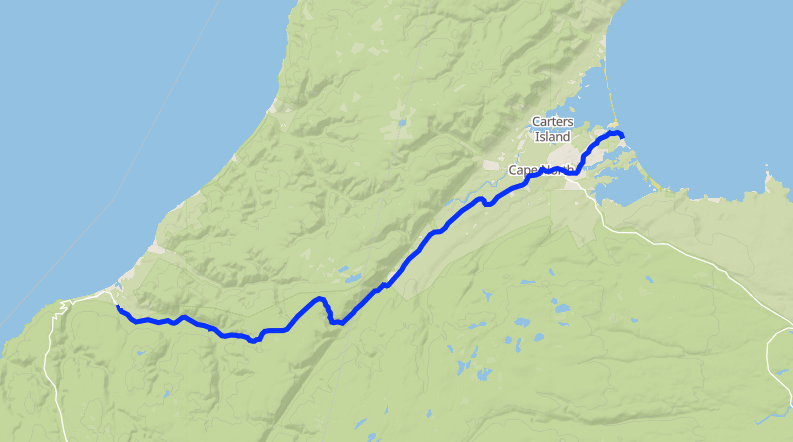
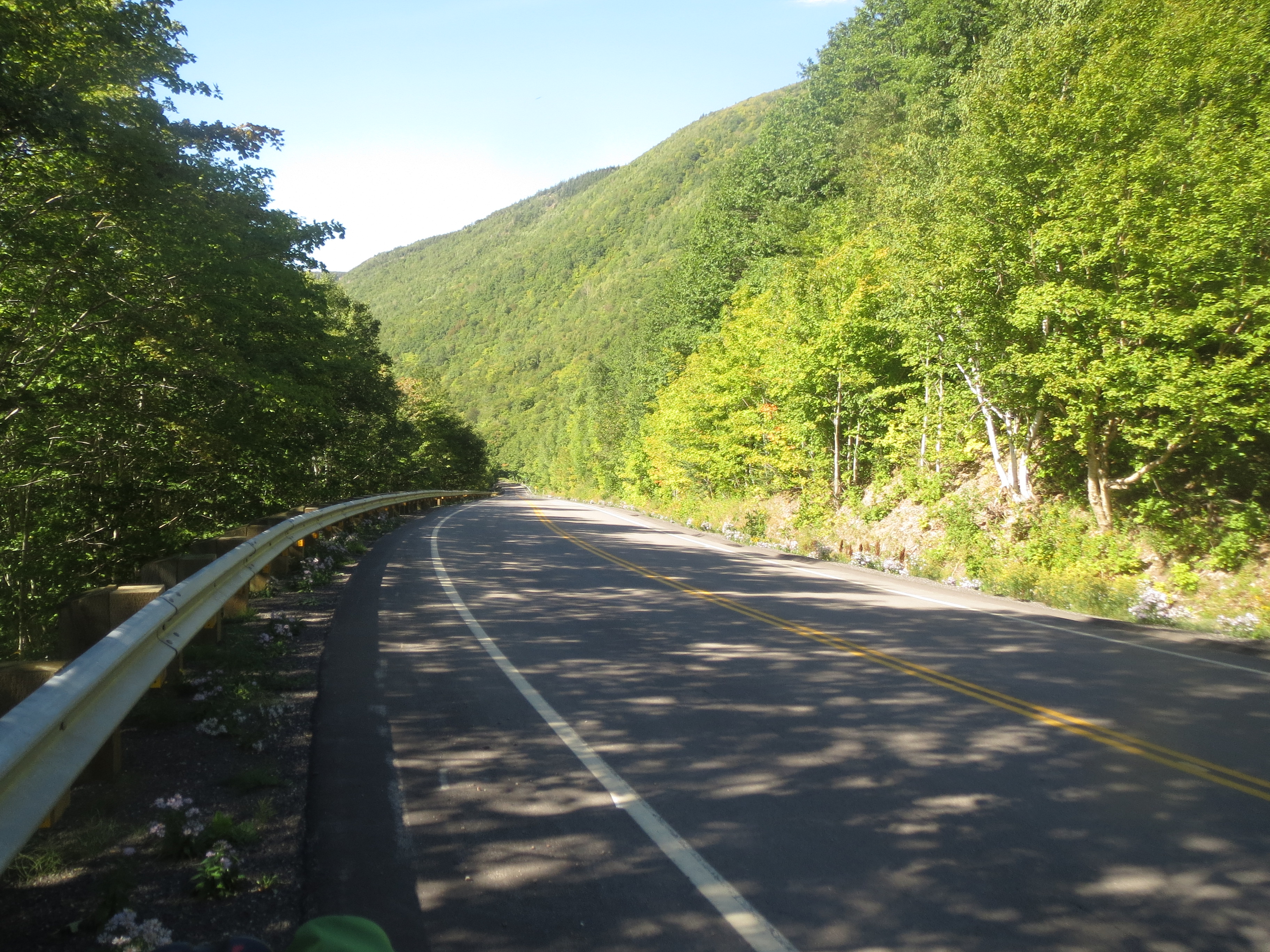
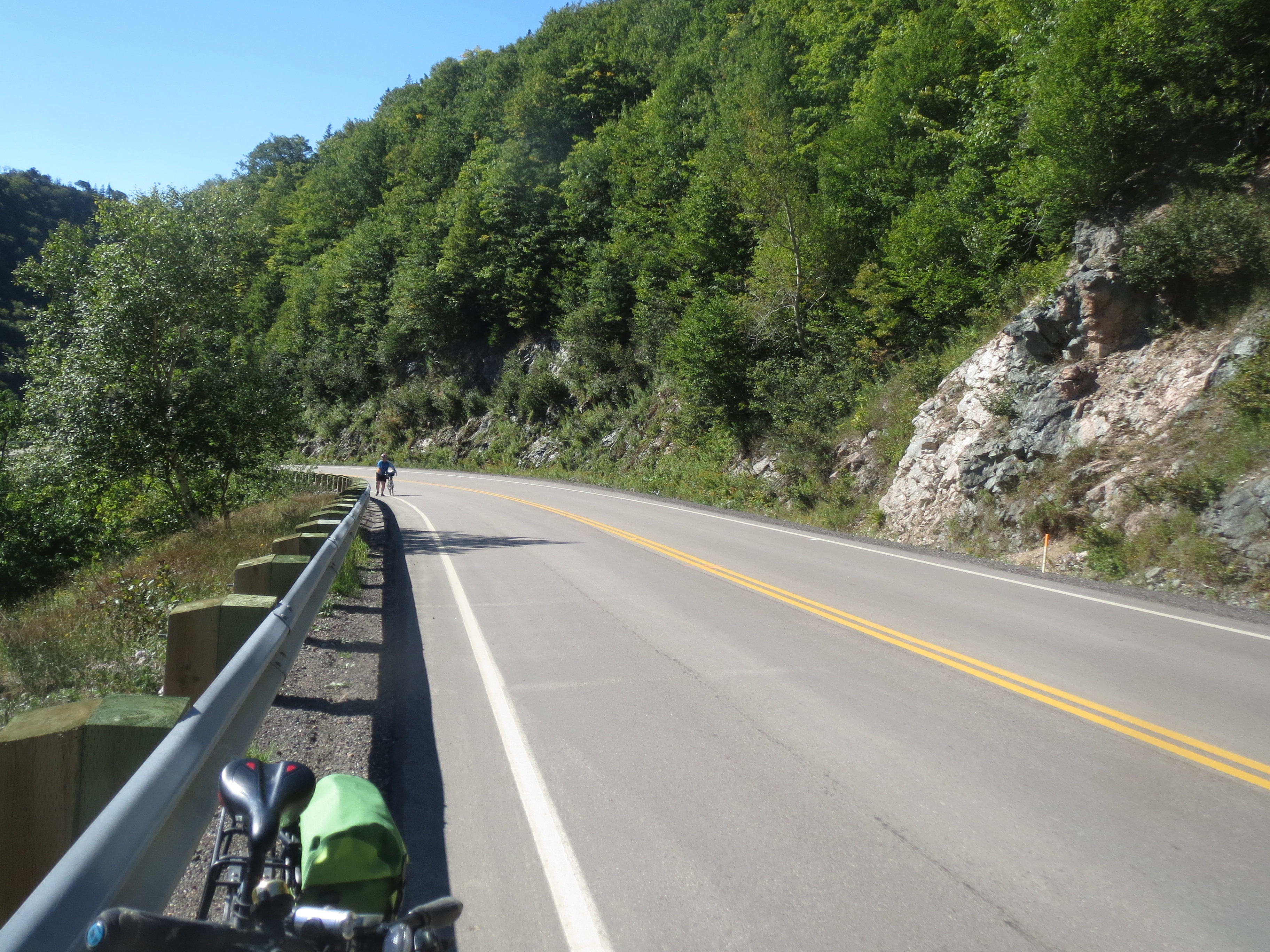
In the afternoon, David drove the van to Dingwall, while Sarah, Scott, and i biked it. The topo map shows that we exited Cape Breton Island's northern ridge, so the ride started with a long climb followed by a steep descent [21.4 mi]
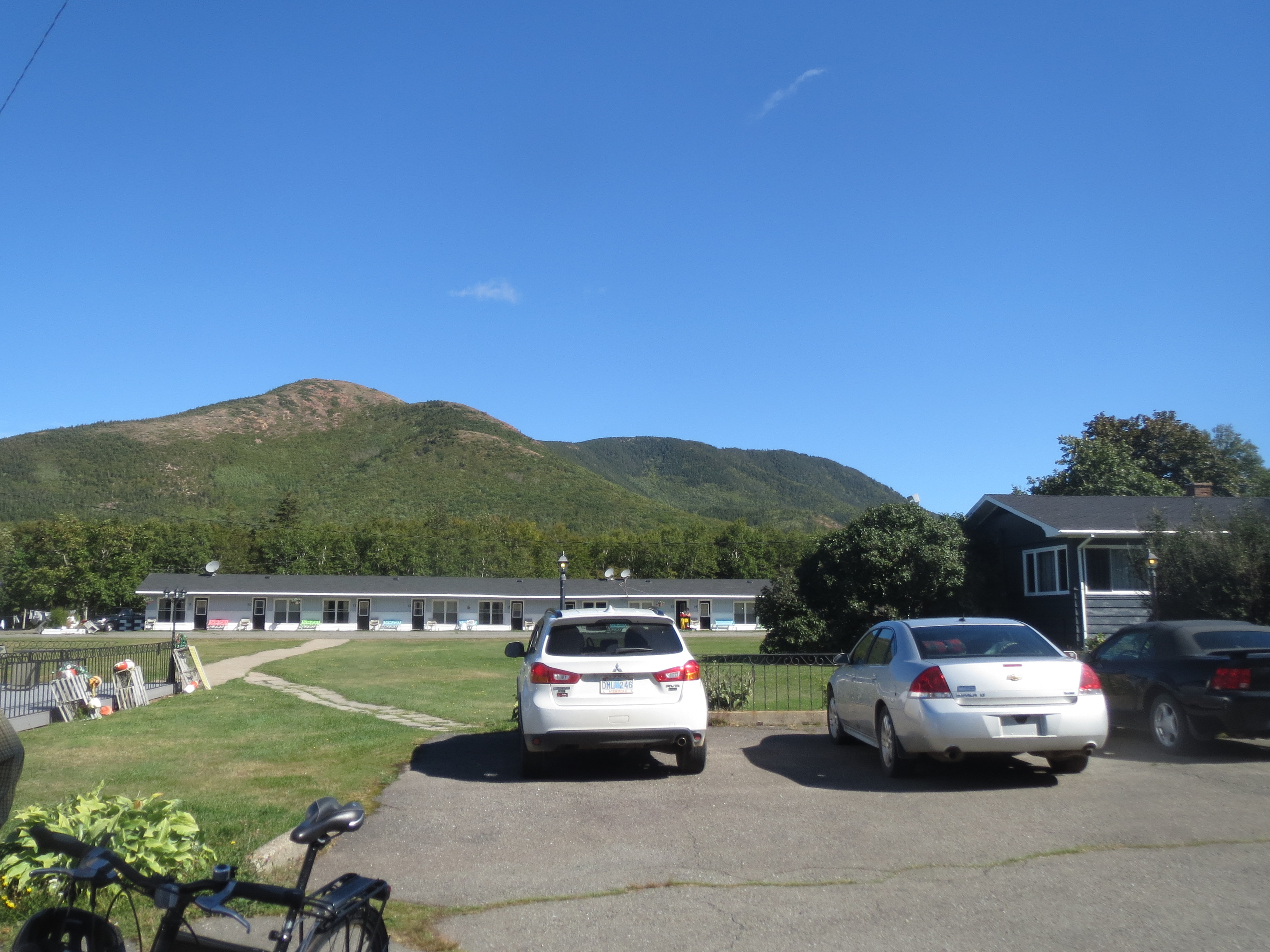
parking lot of the mysteriously-named Mountain View Motel |
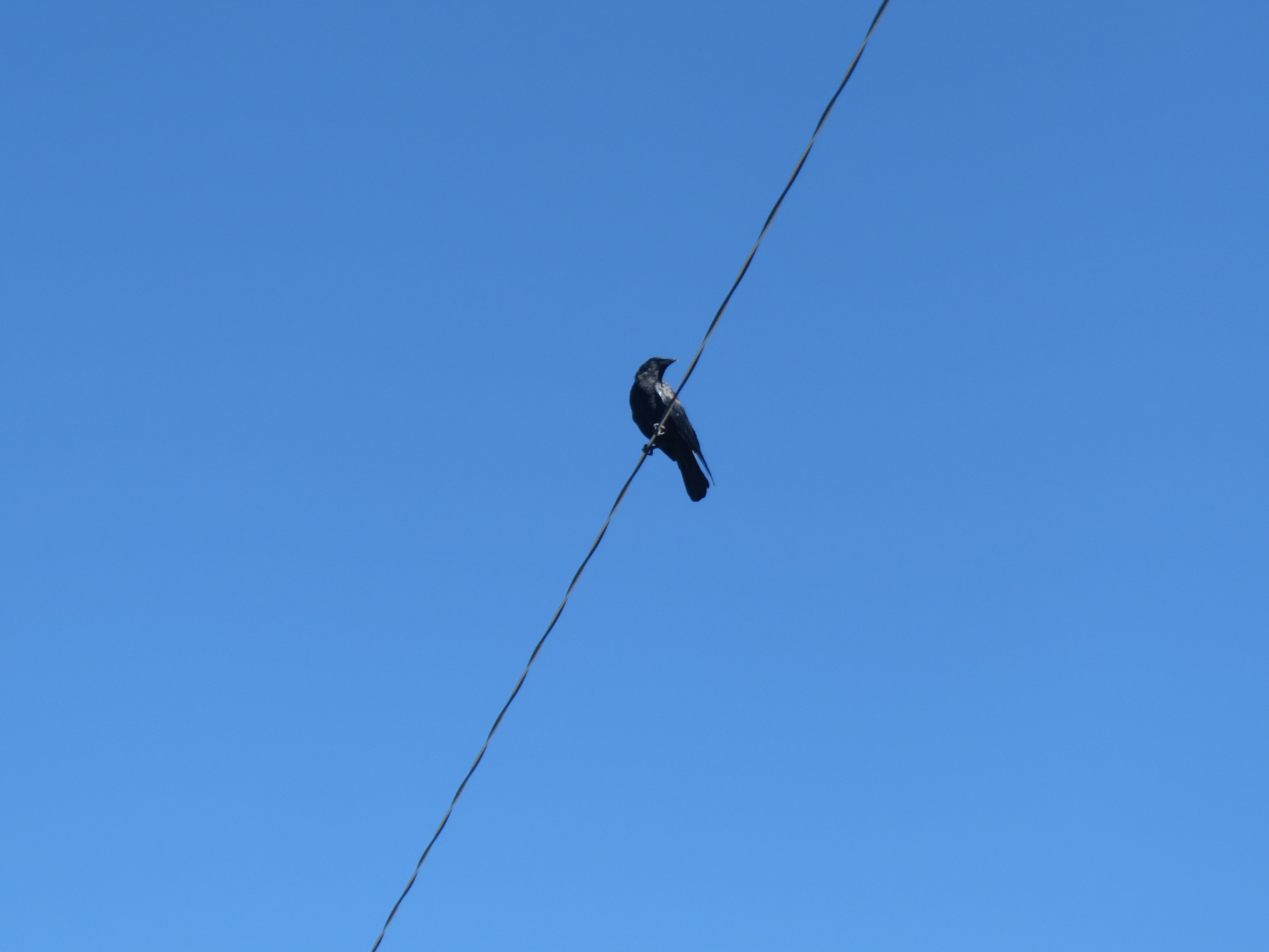
the three elements of a photo are sky, bird, and wire |

we stopped only a few minutes into our ride to do this short hike |
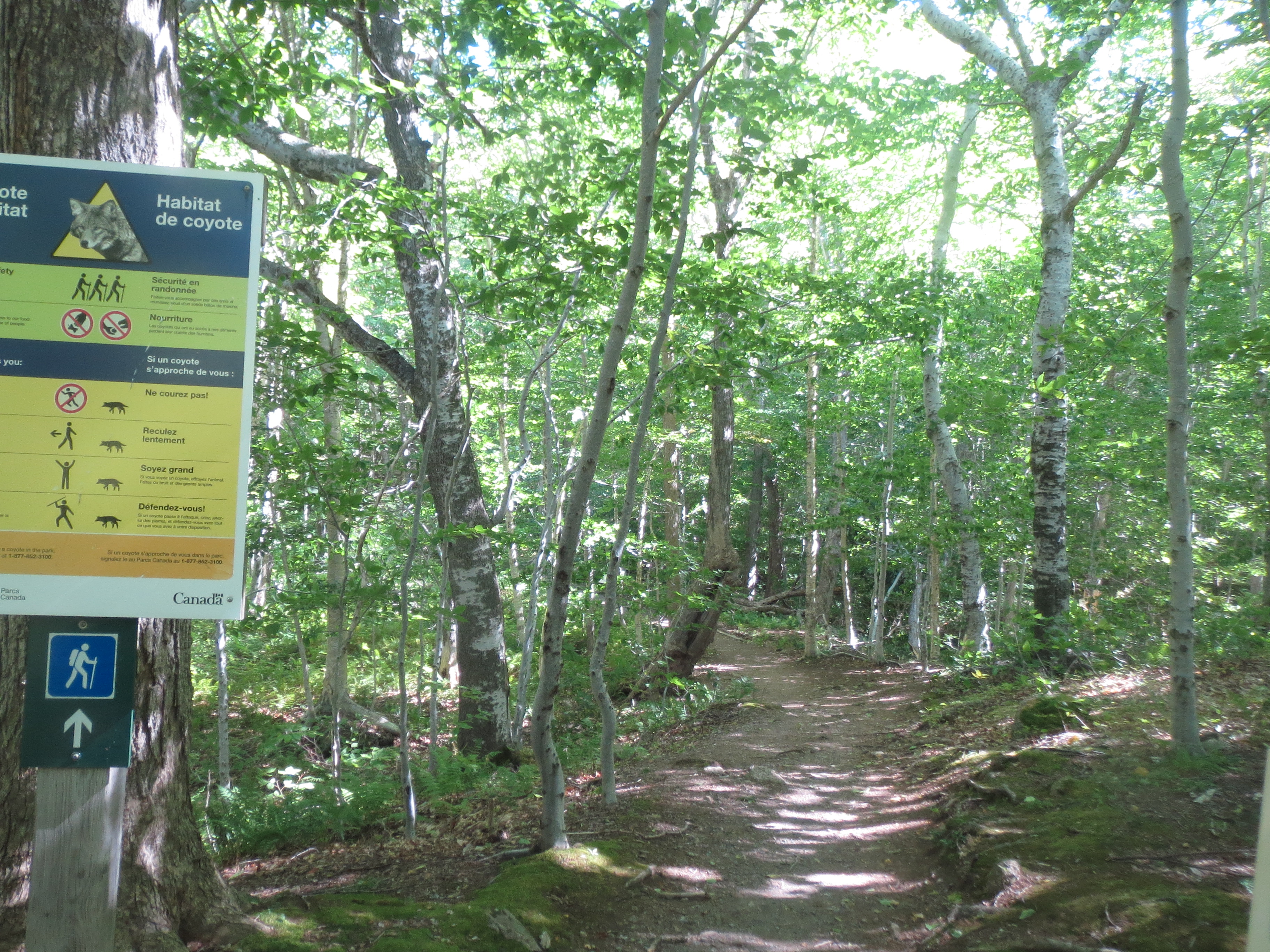
spoiler: we did not encounter any coyote |
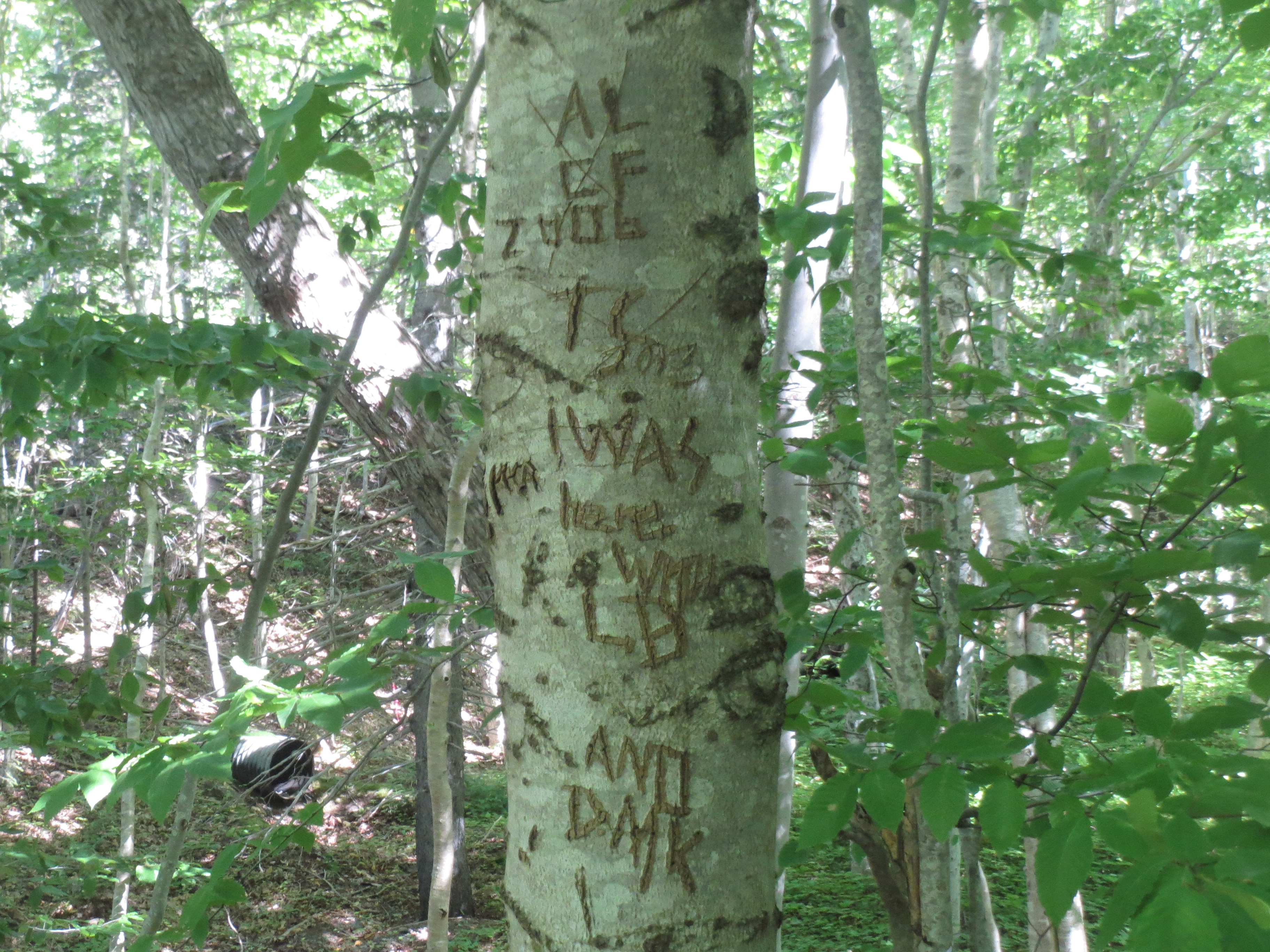
a heavily-graffitied tree |
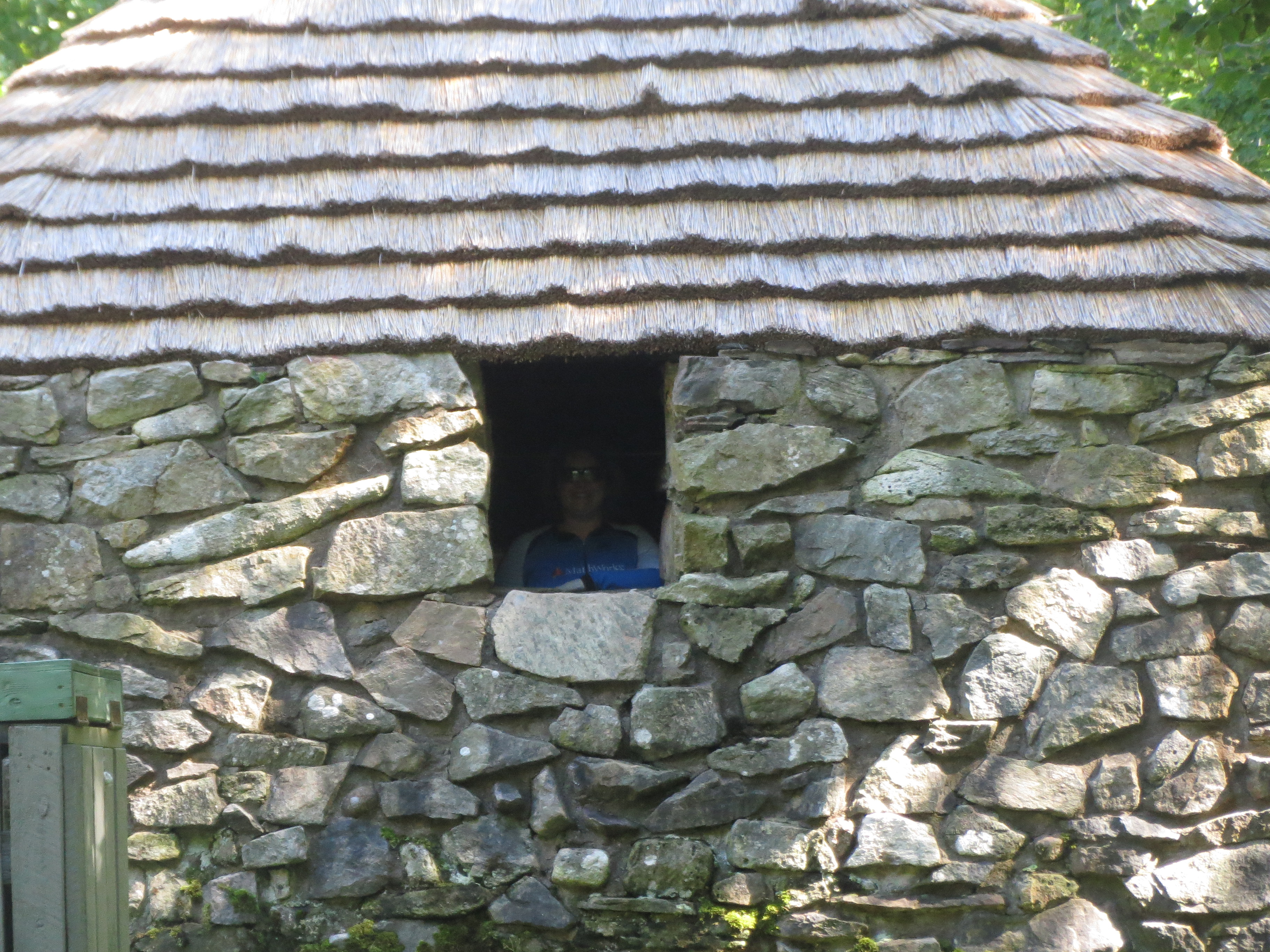
Sarah has found the hut which is the nominal purpose of this hike |
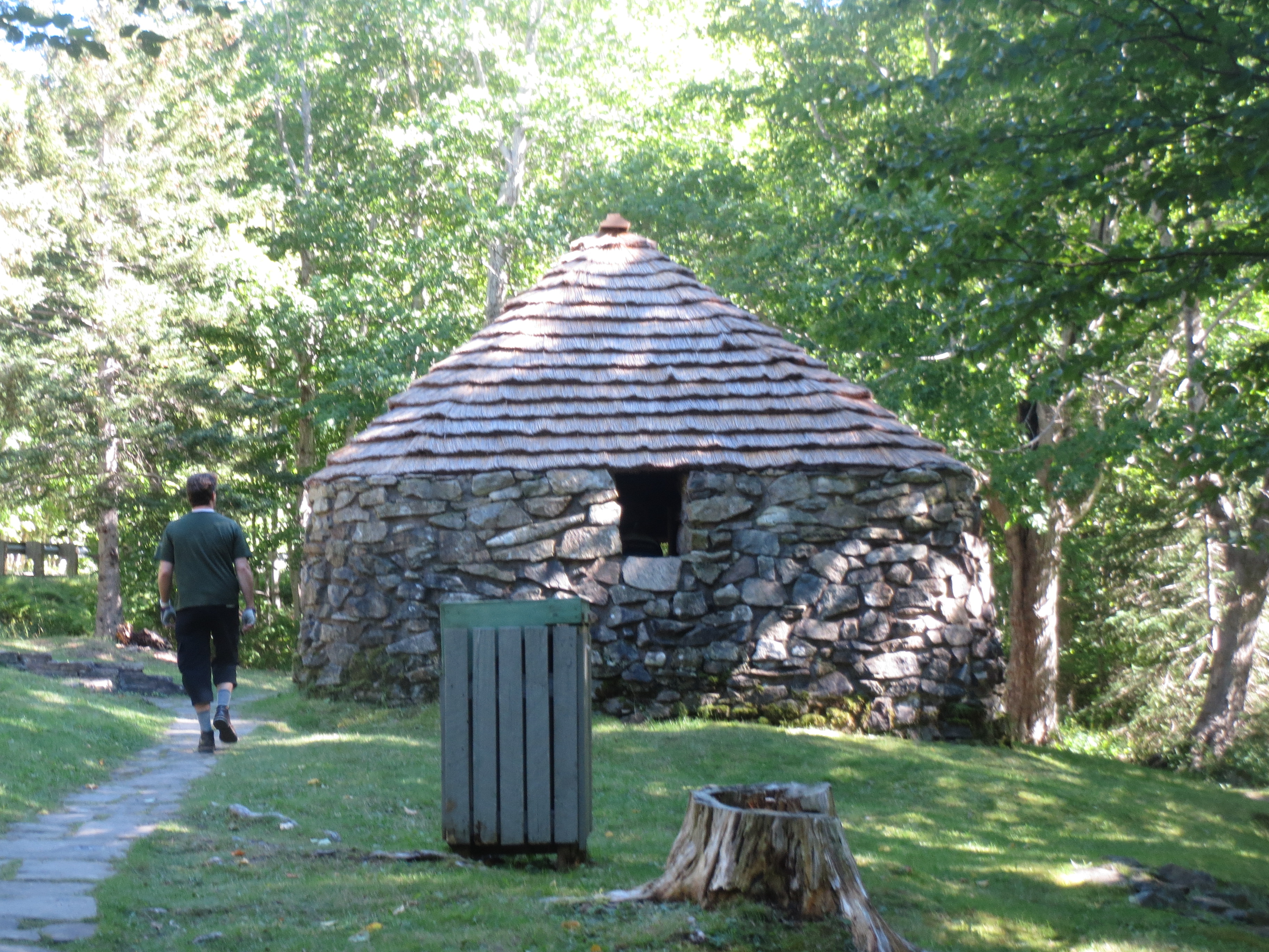
the hut, also called a shieling |
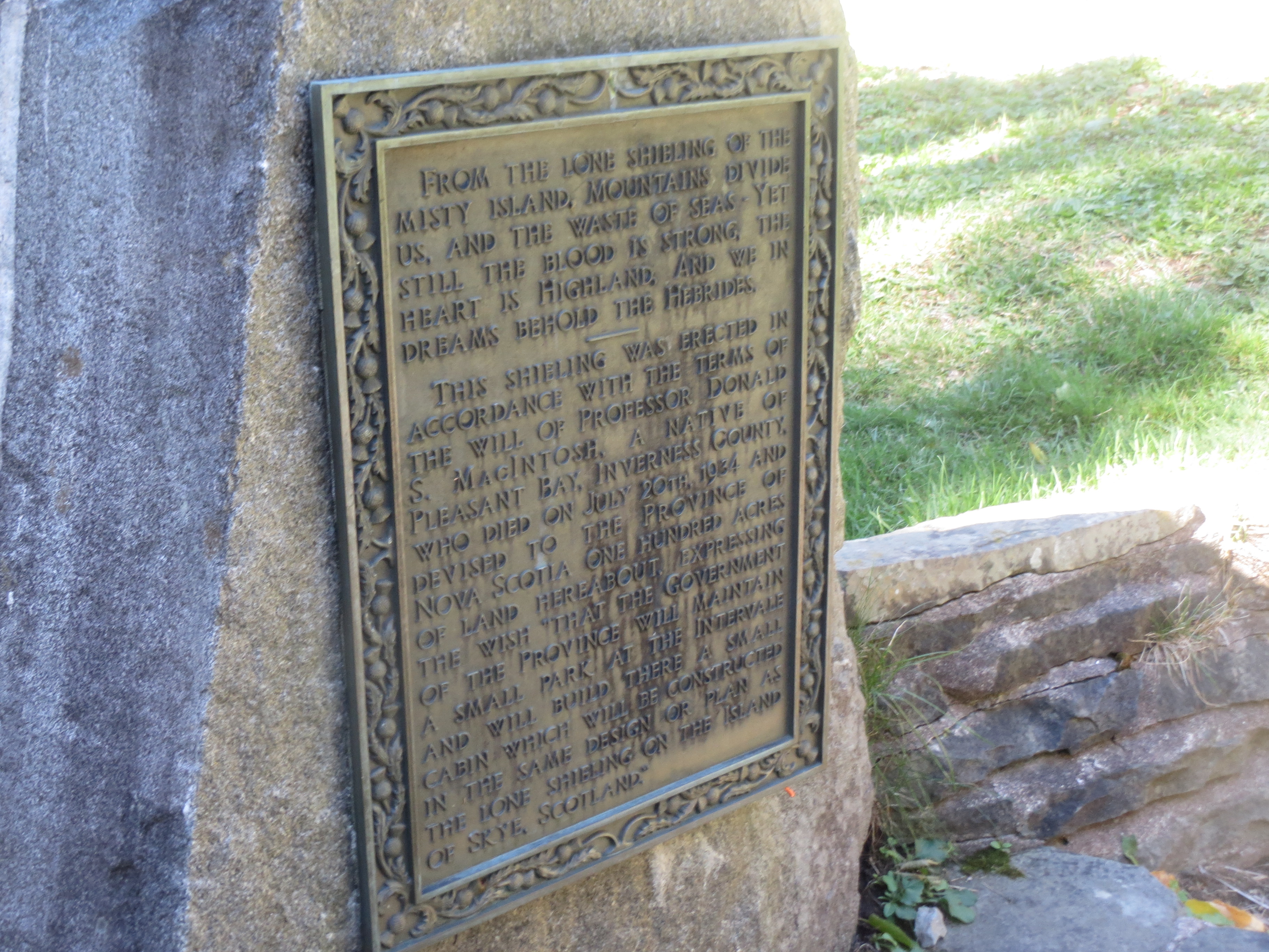
explanatory plaque about shielings |
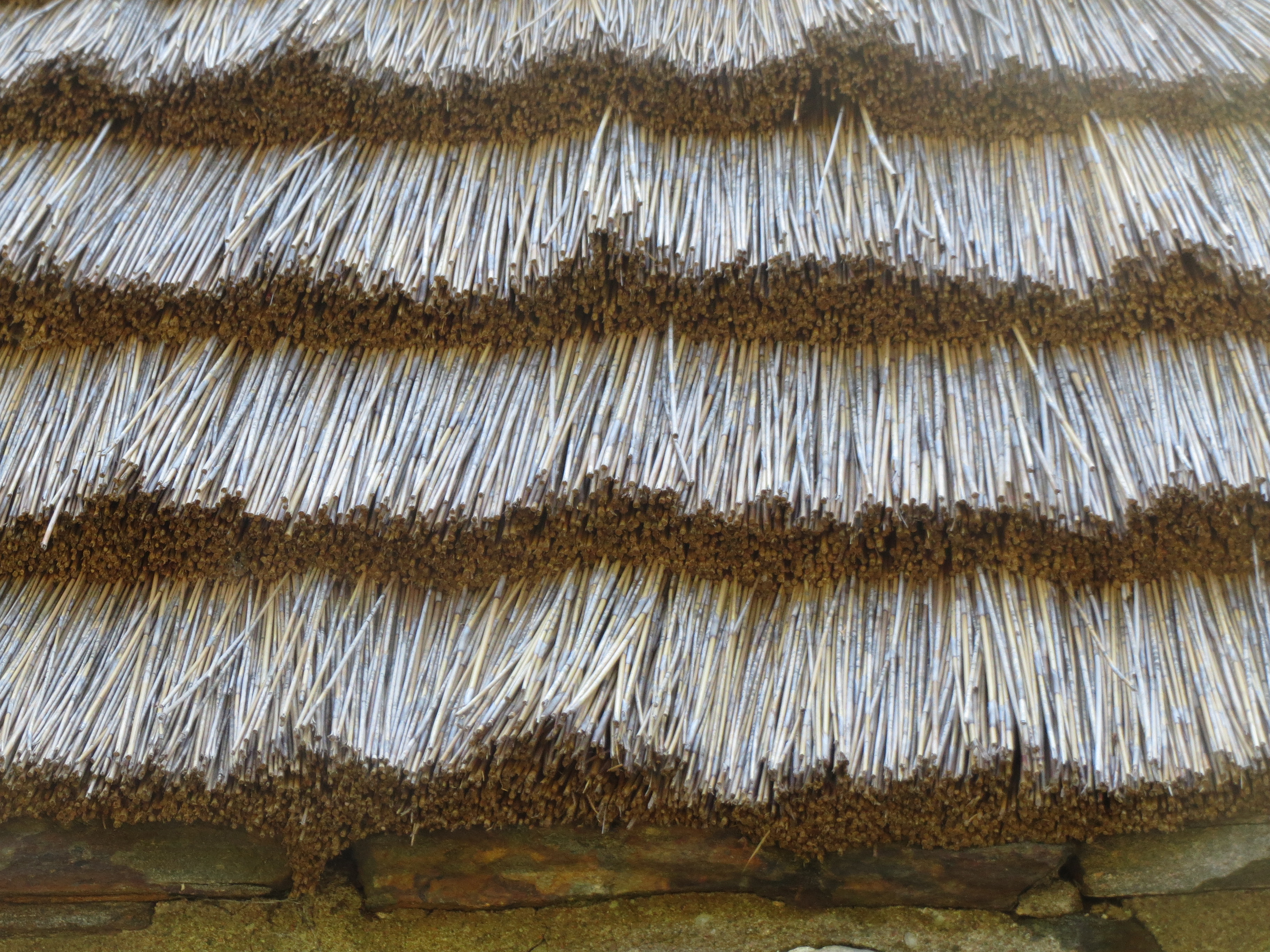
you don't get much more thatched than this roof |
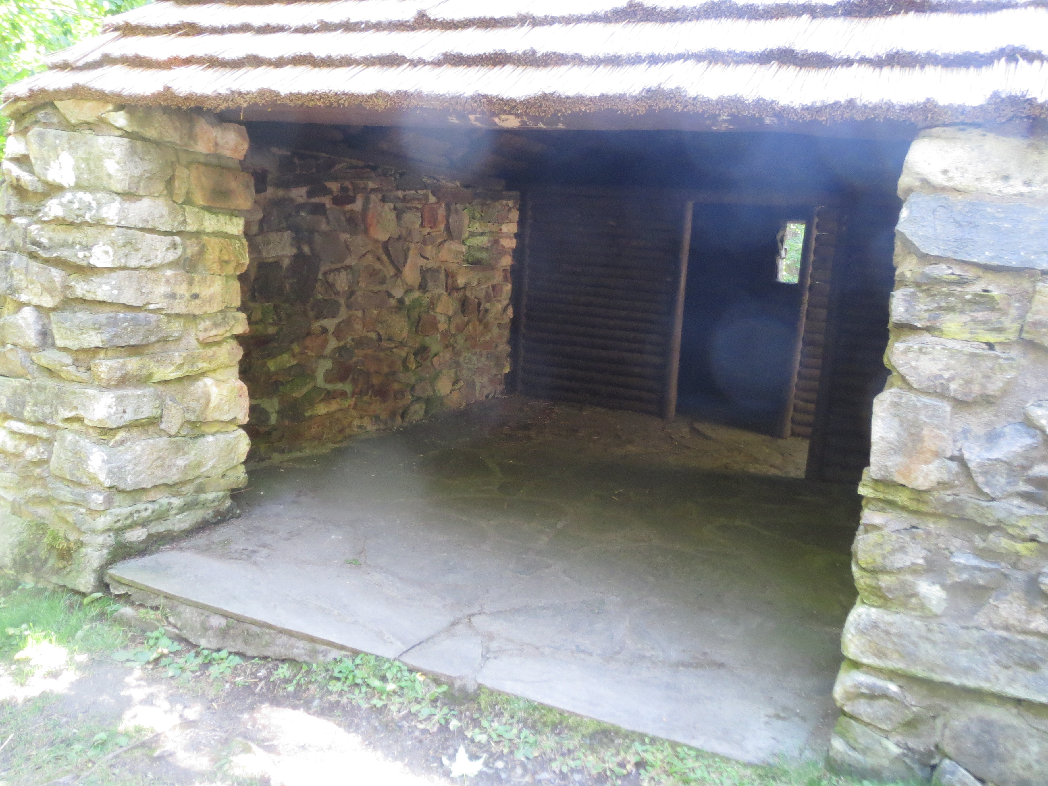
interior of the shieling: the idea is that there's one room which is fully enclosed that a person can sleep in, and a second room that's covered but not enclosed, so the sheep have somewhere to go in bad weather |
closeup of thatched roof ends |
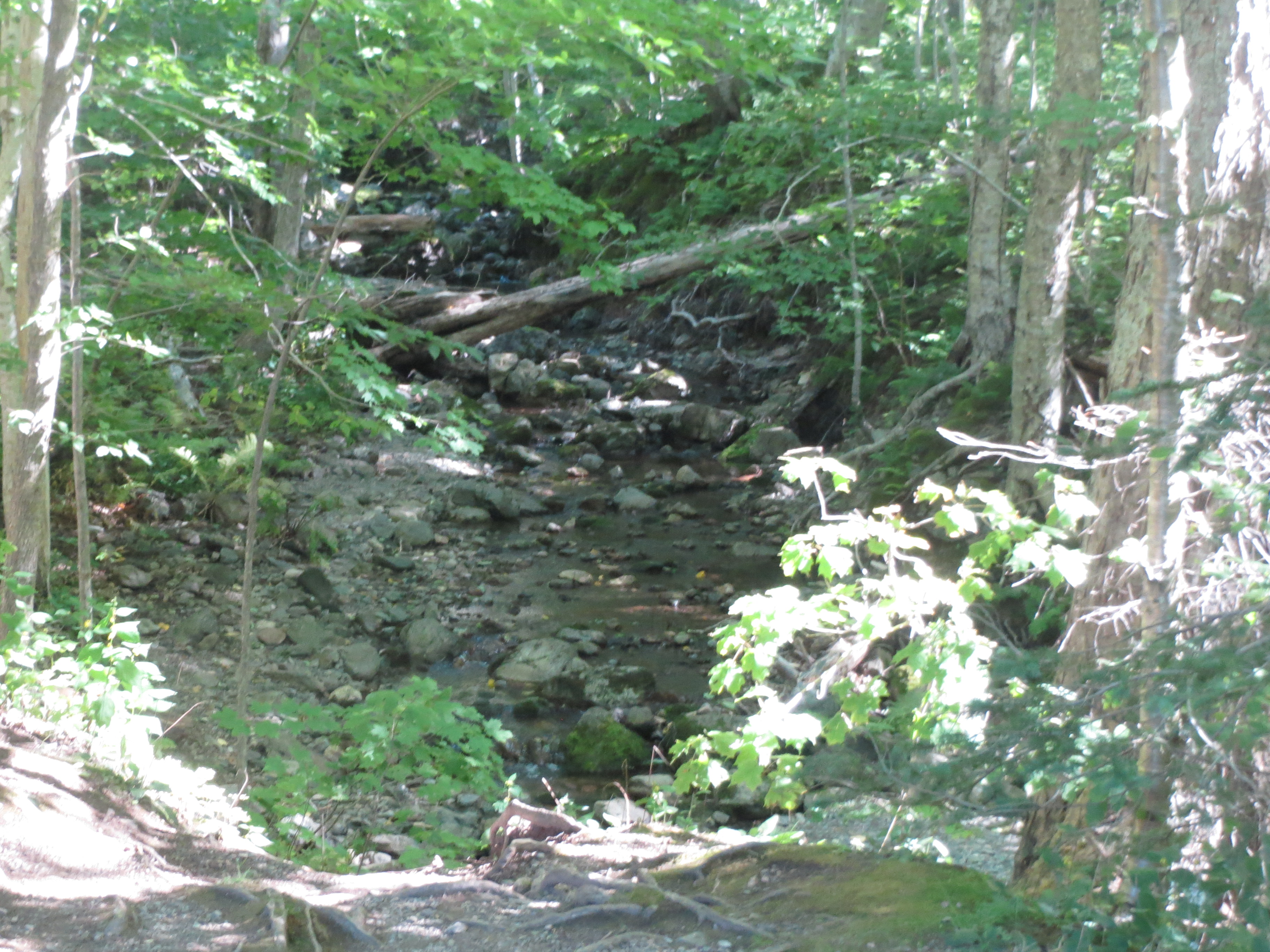
stream in the woods |
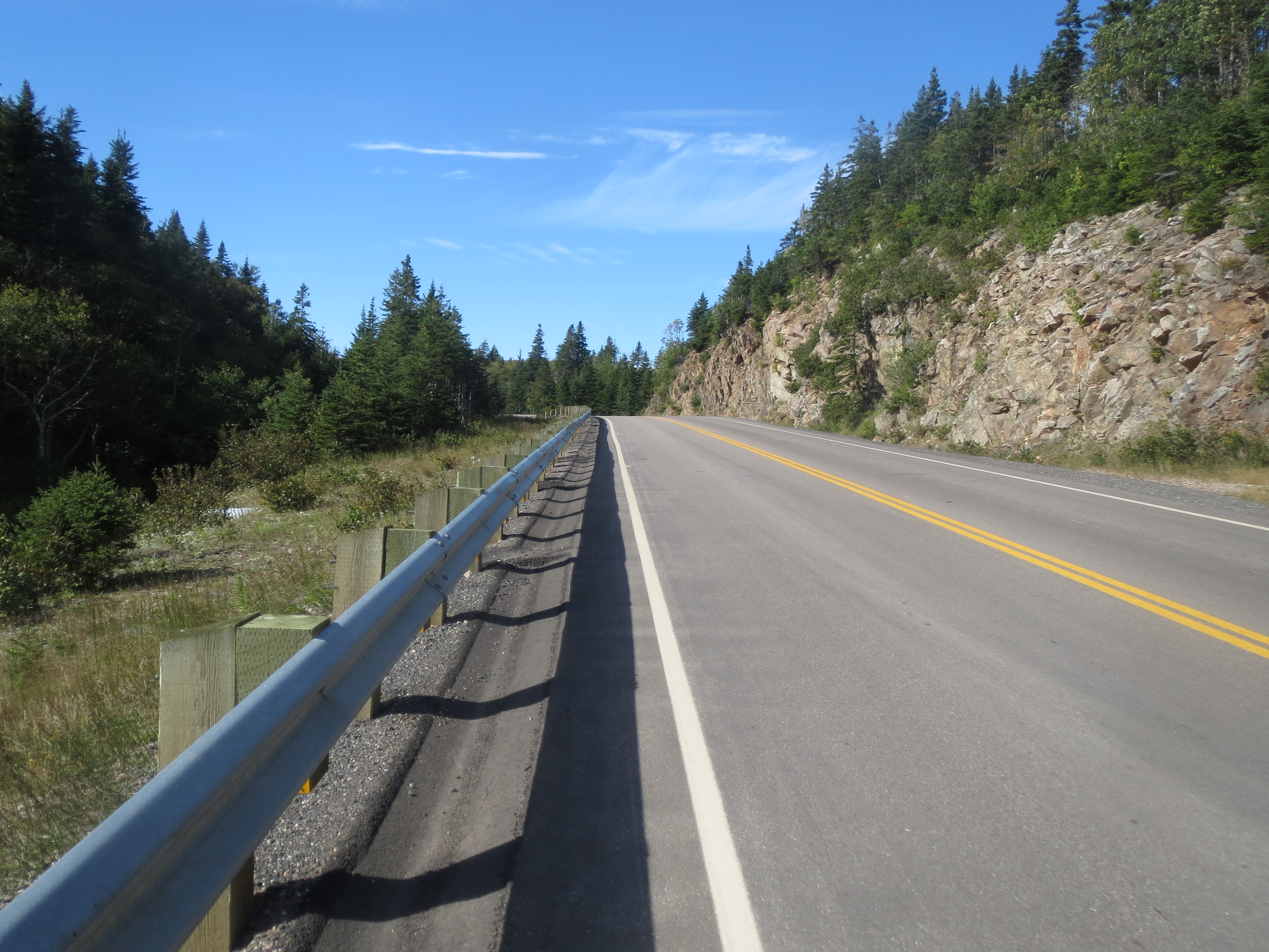
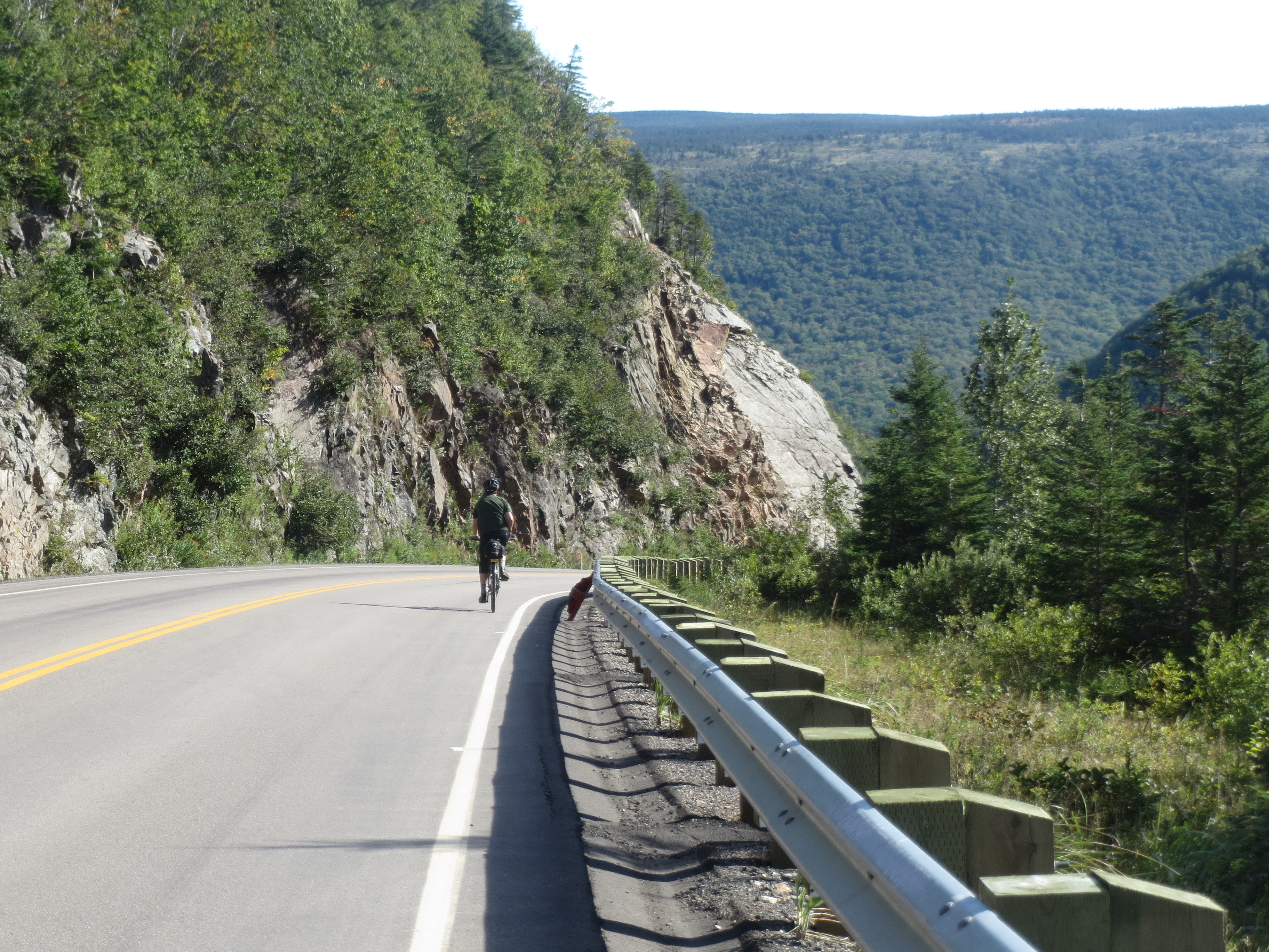
our hike was followed by an hour of relentless climbing |
at least the view was nice |

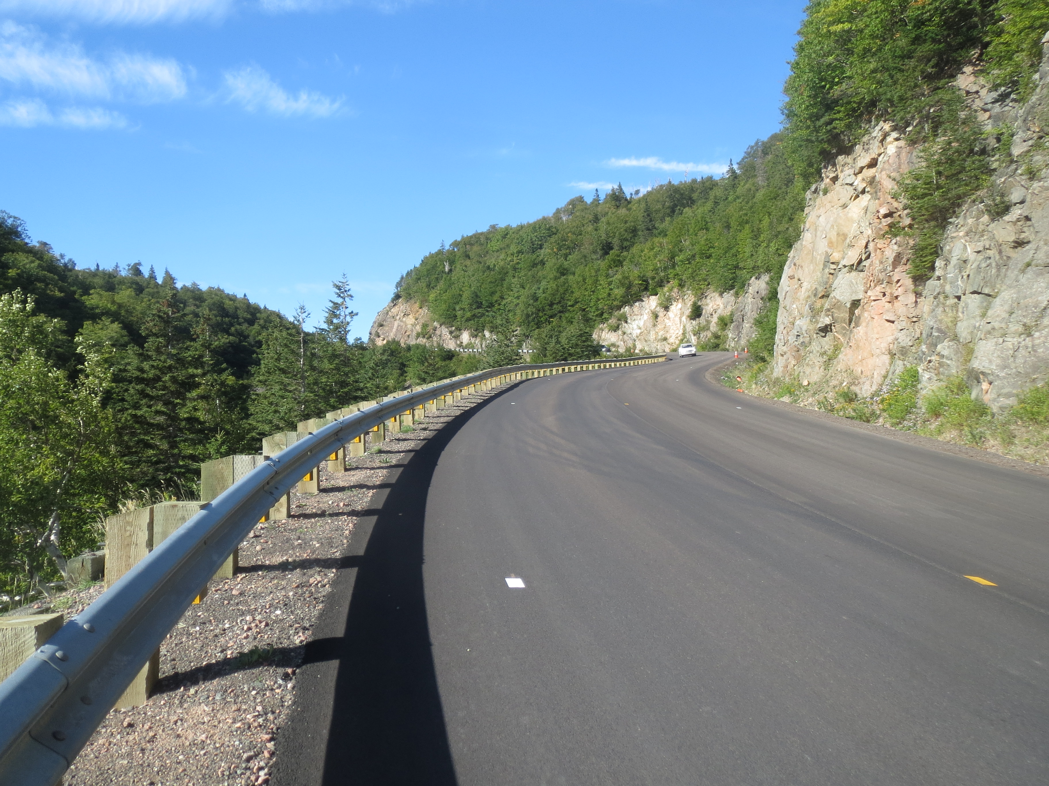
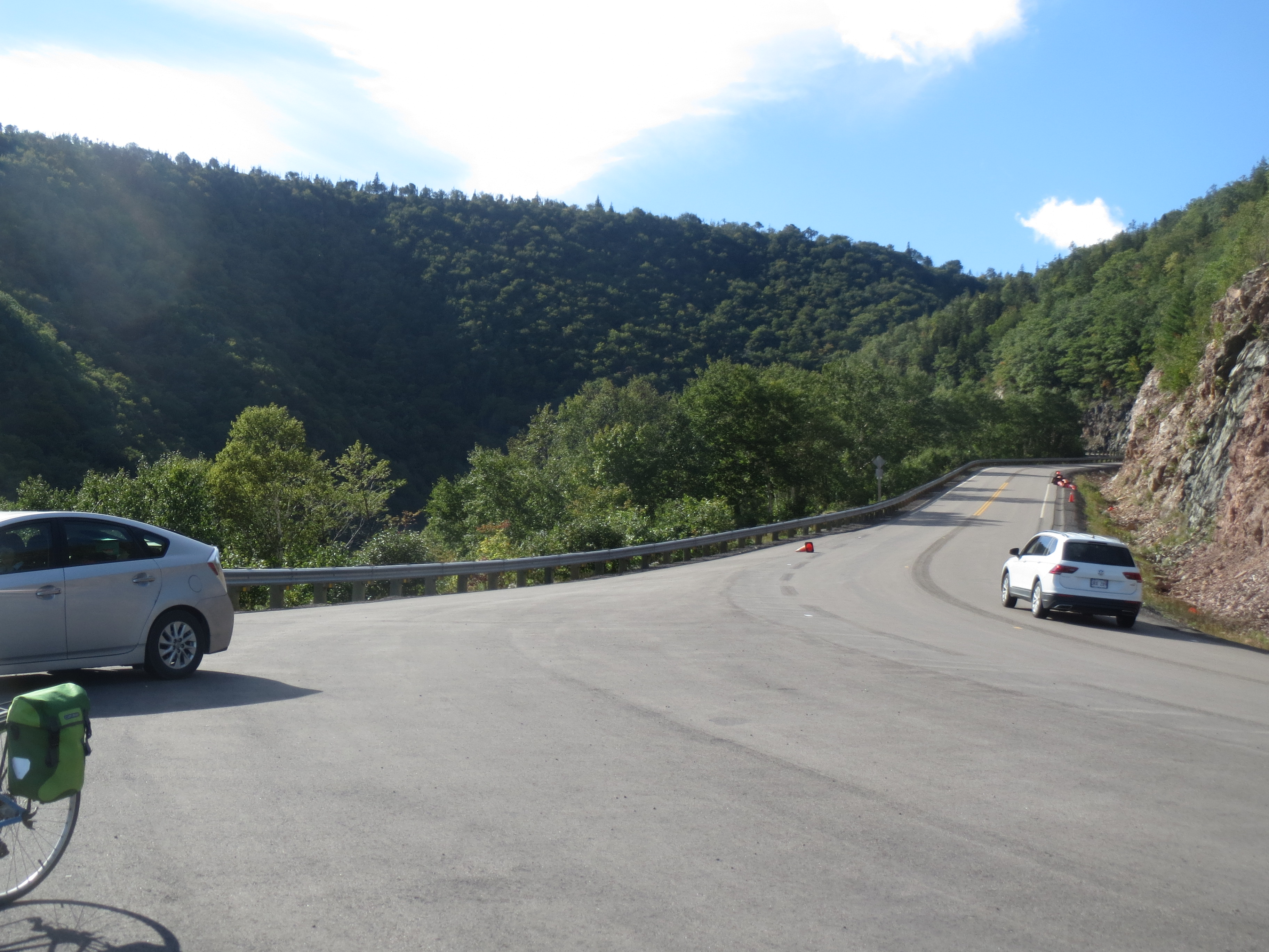
the road ahead |
the road behind |
approaching the summit, we no longer fear moose |
...thanks |

Sarah, riding to the summit (the false summit, unfortunately) |
ten minutes later, looking back from the real summit |

which means we have to start going down now |
Scott, beginning the plummet to all of our doom |
I didn't like that much. My brakes didn't either |
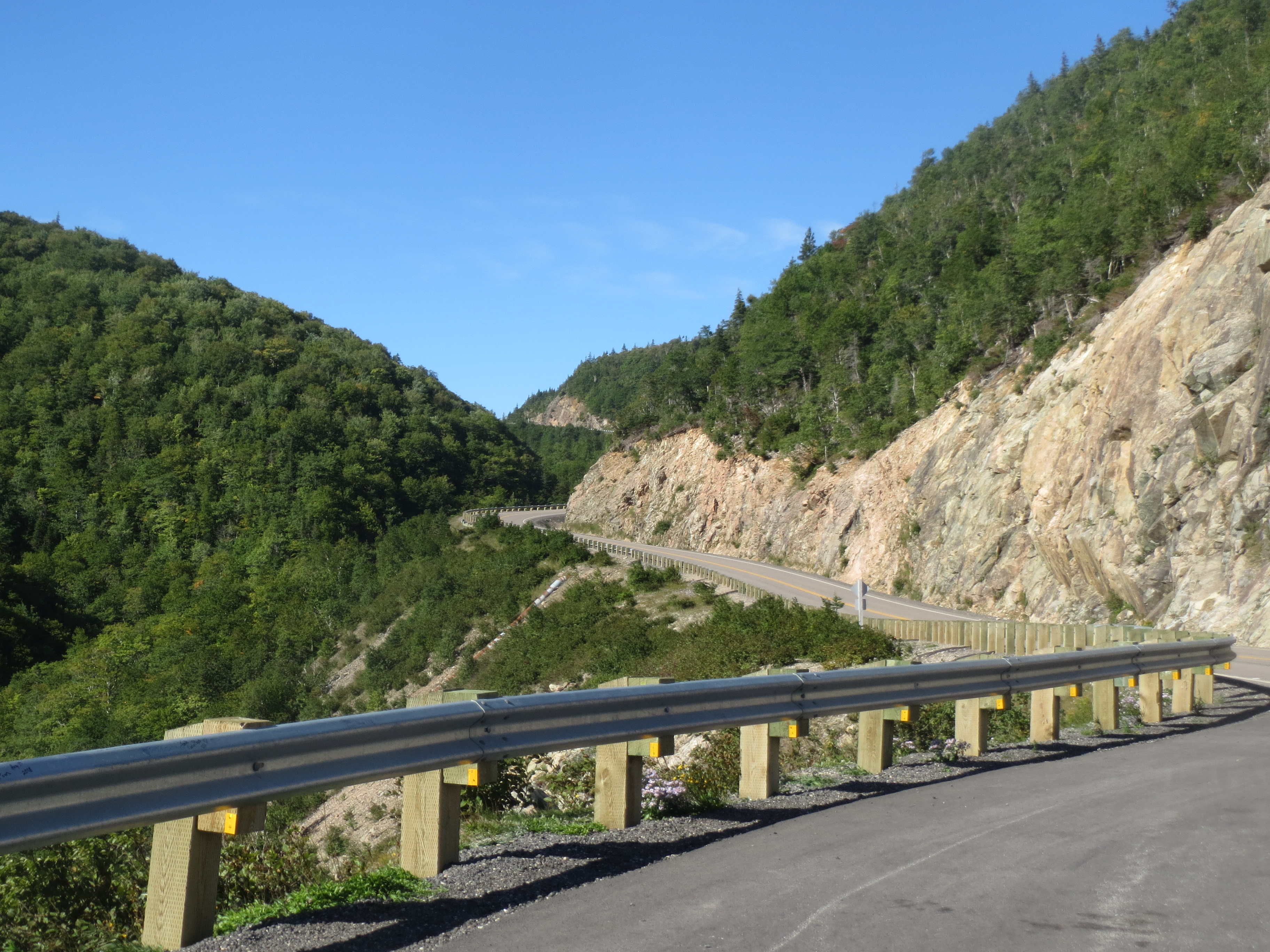
the descent ahead |
the view to the side |
the road behind |
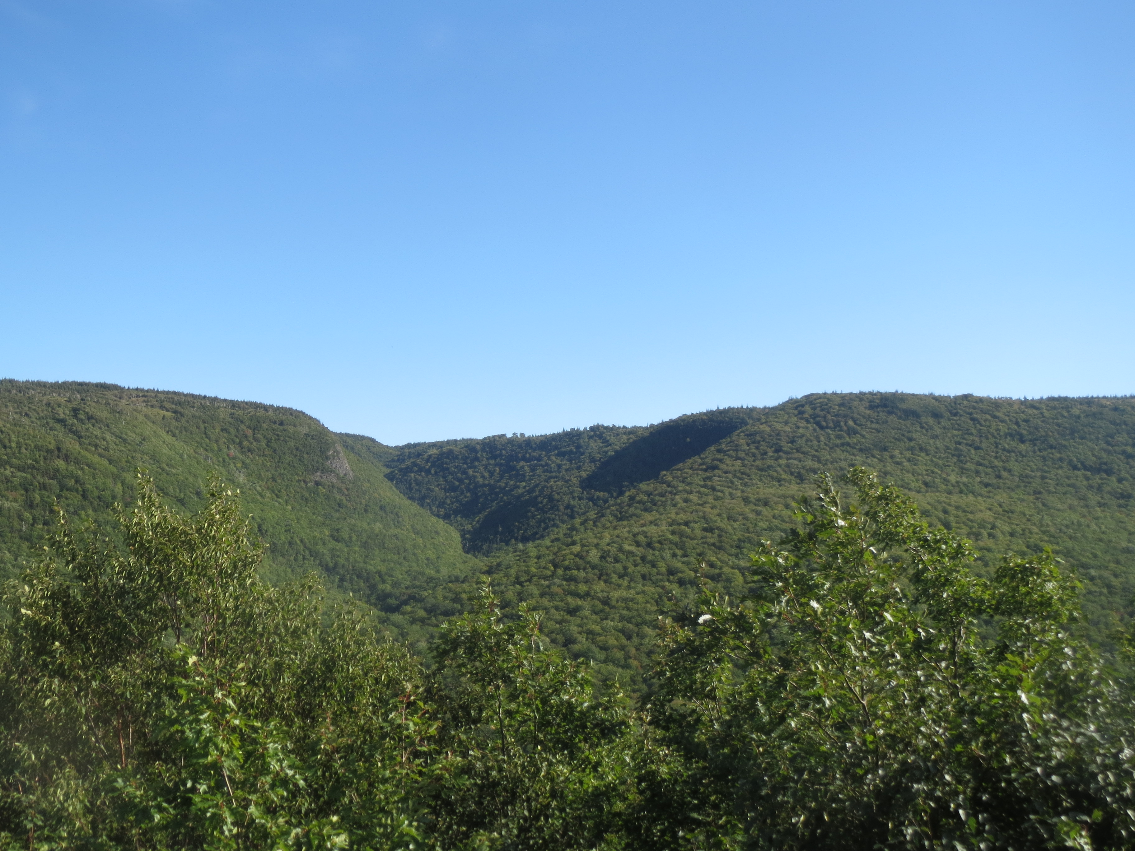
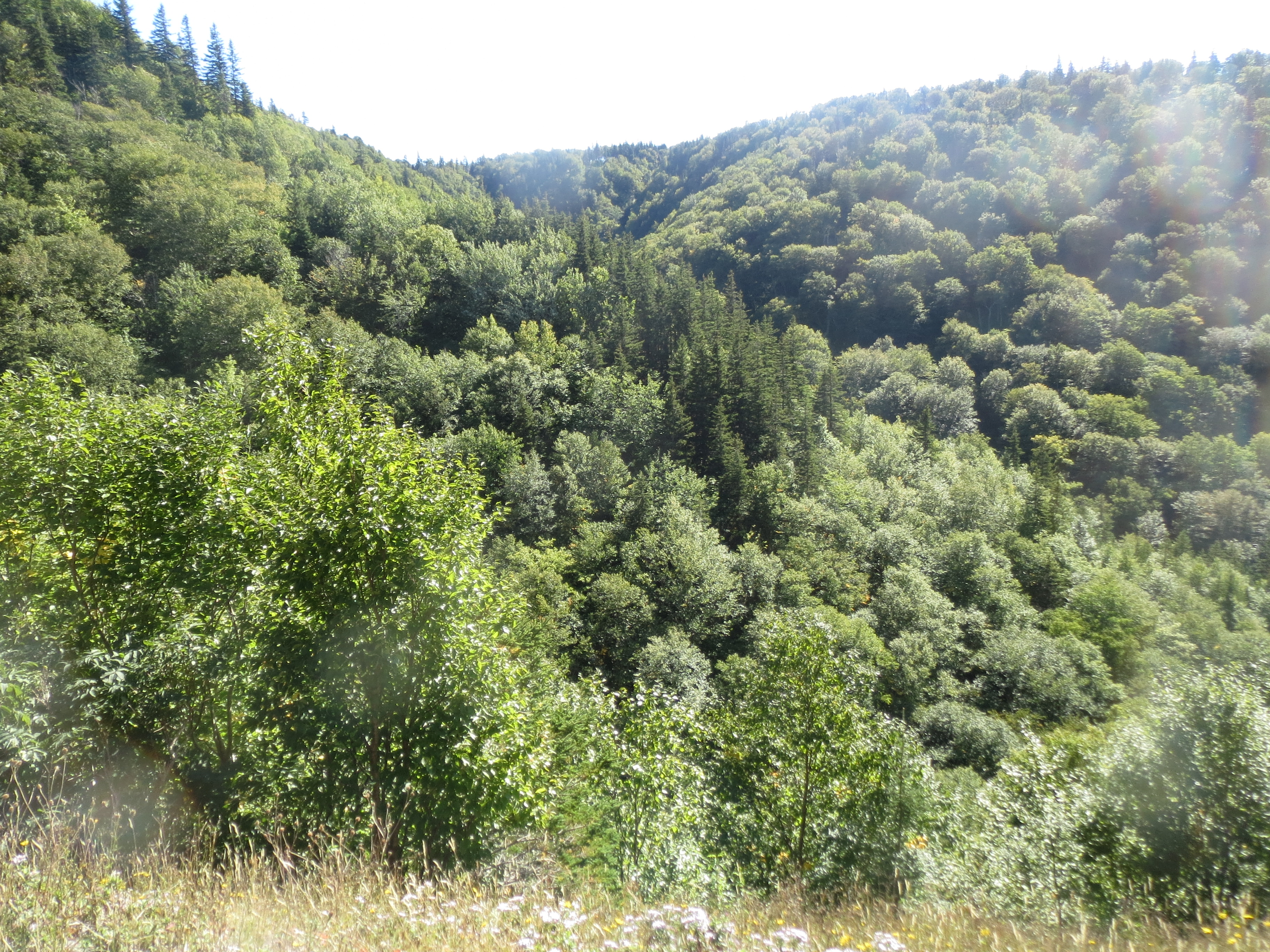
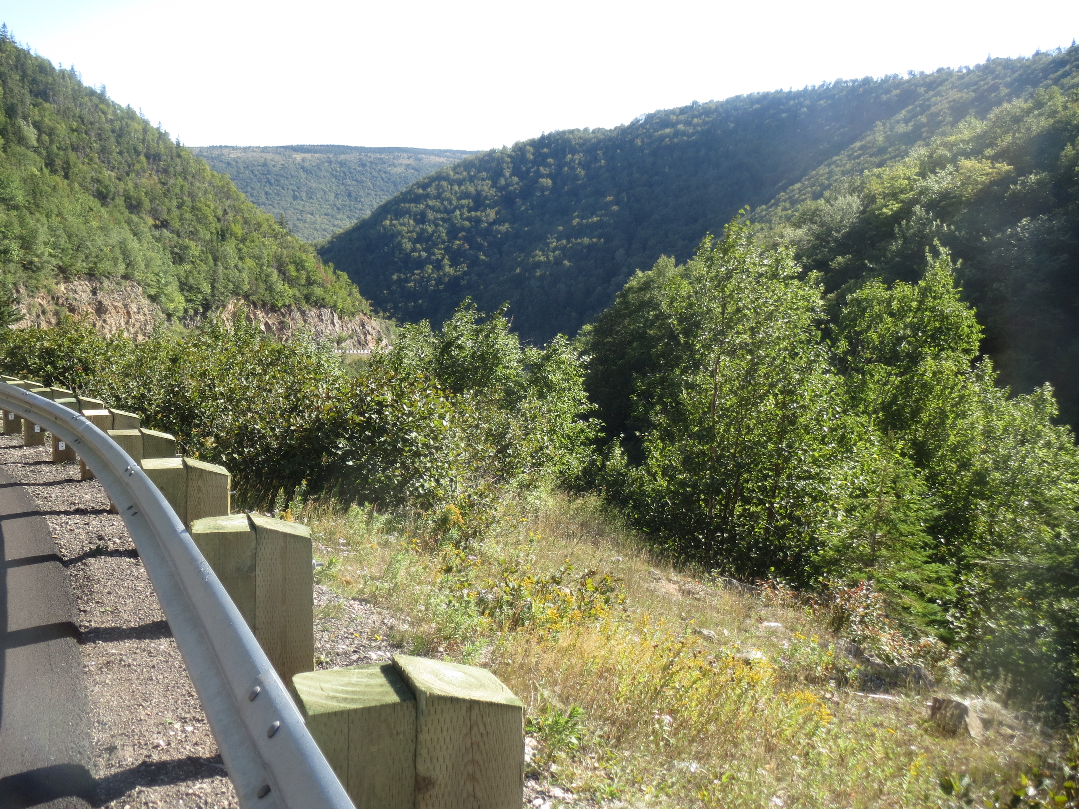
a hanging valley |
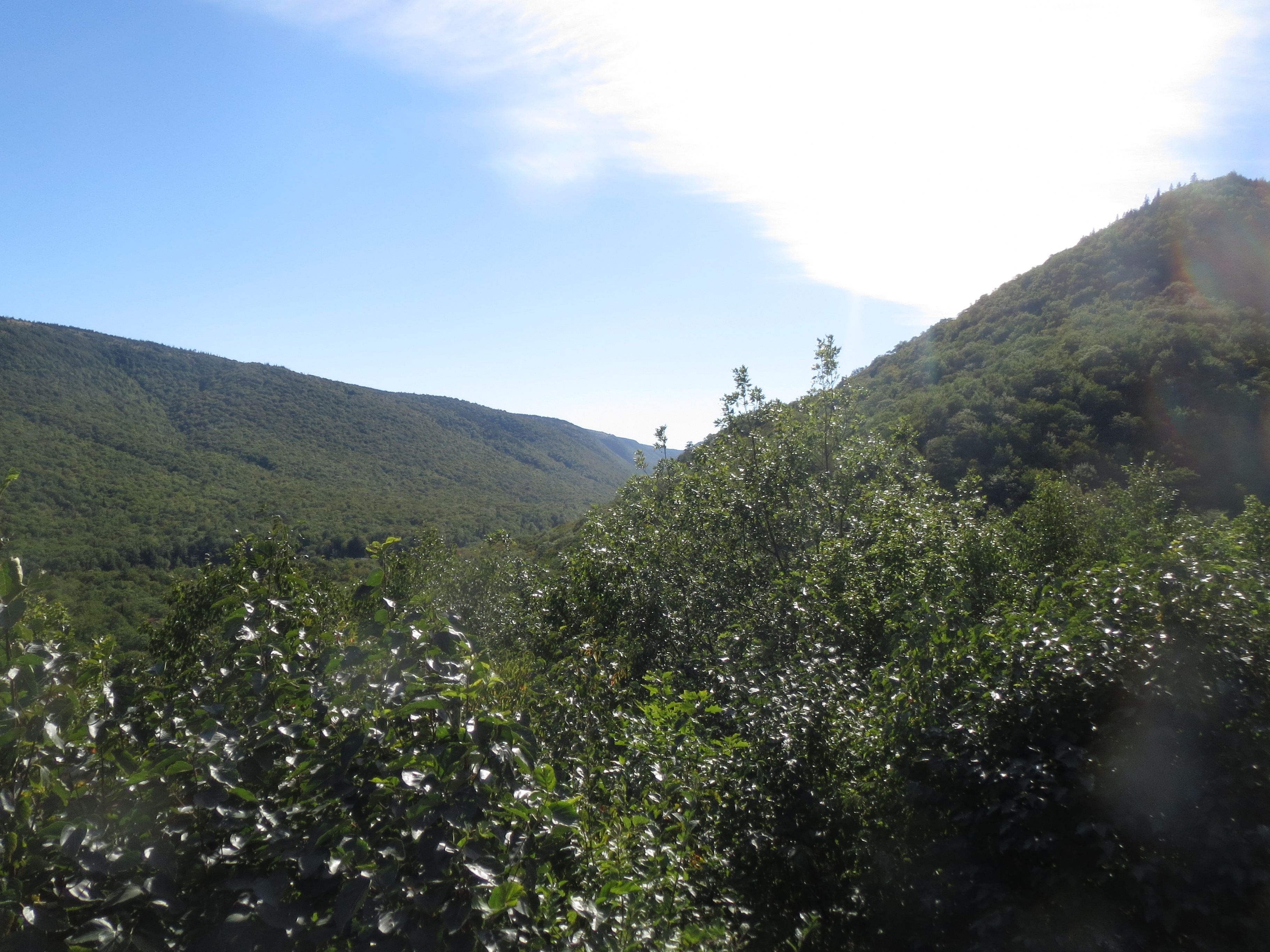
a long valley |
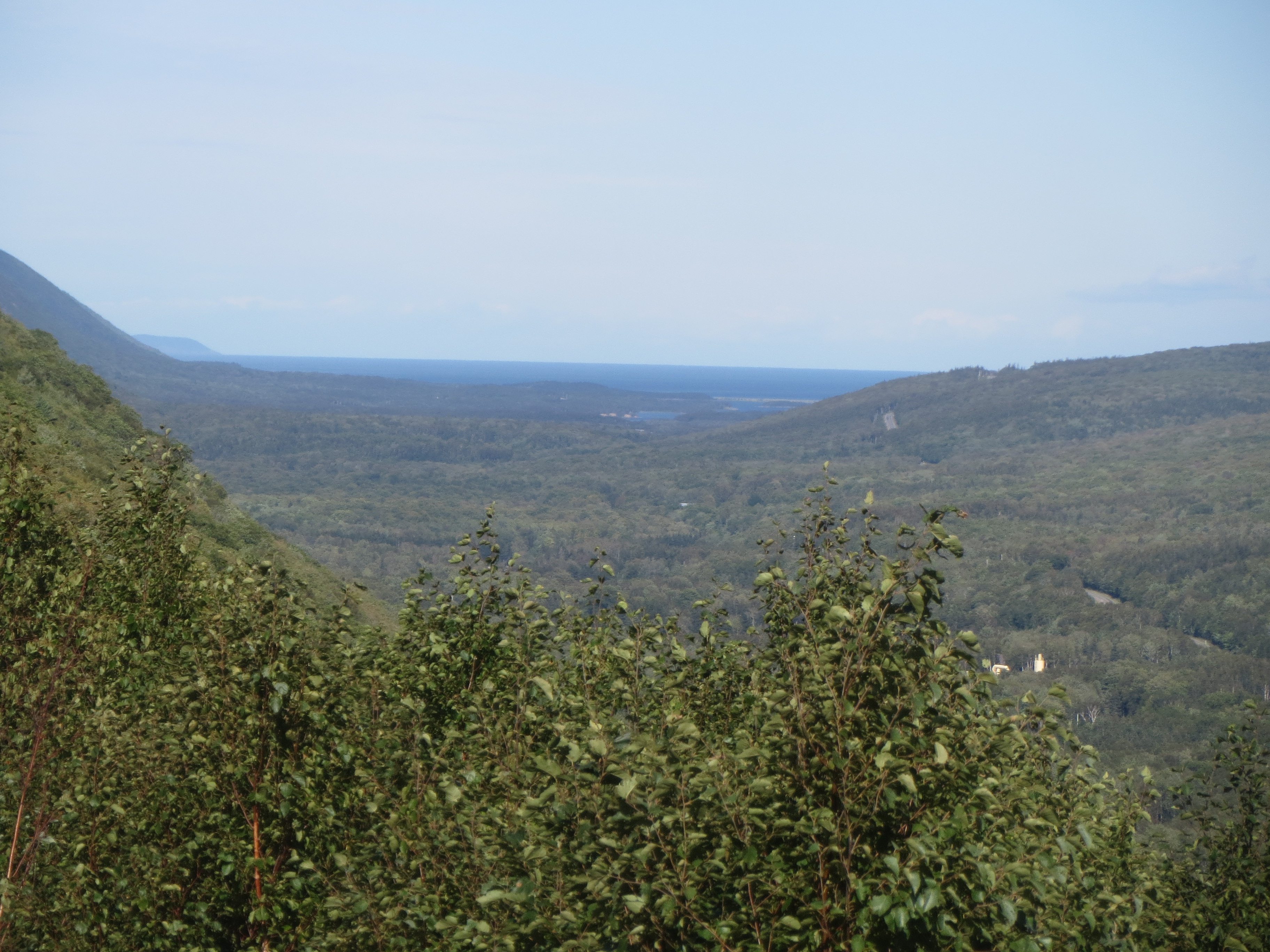
our destination, the Atlantic Ocean, visible from along the descent |
the road behind |
the valley and coast ahead |
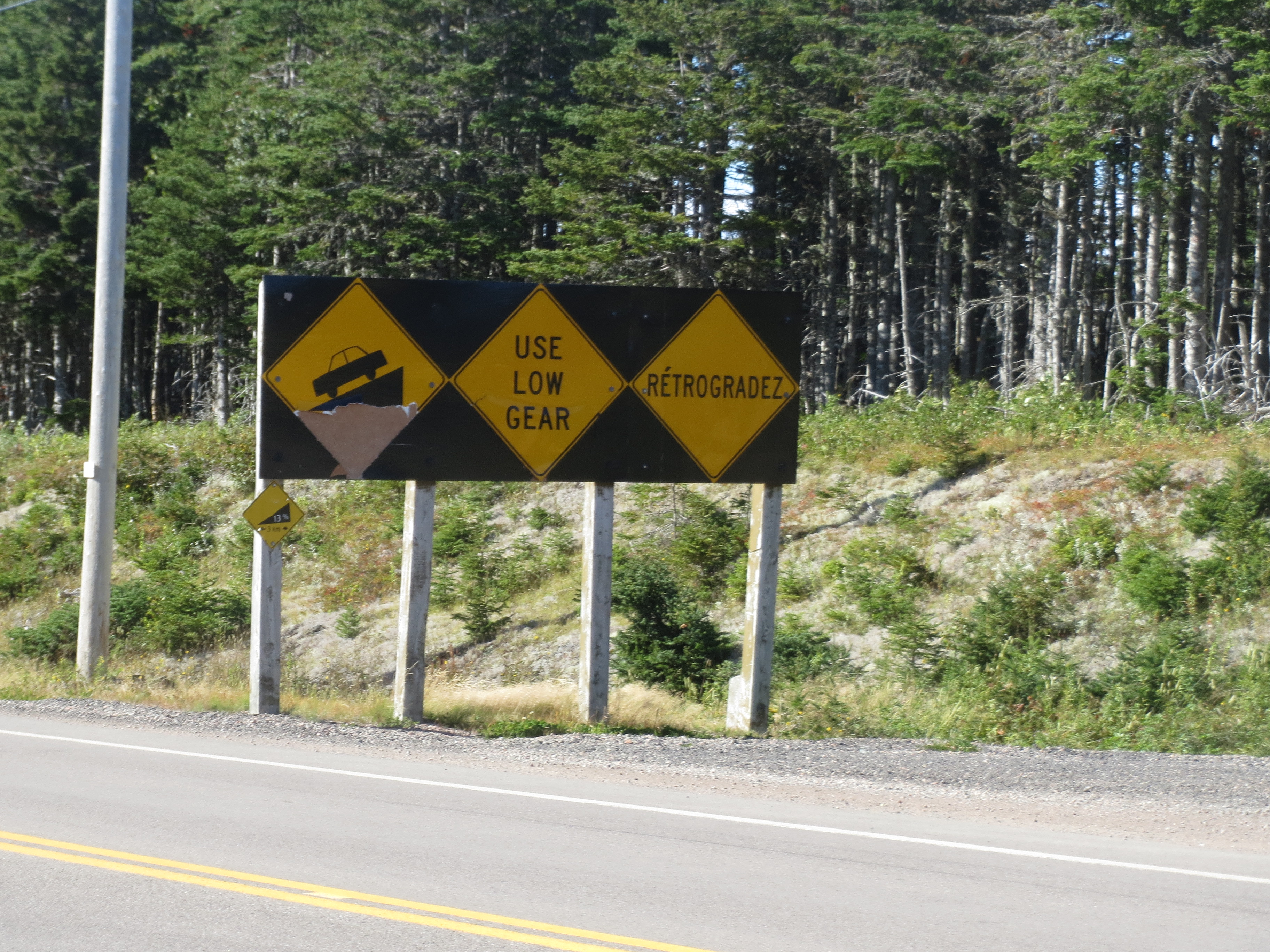
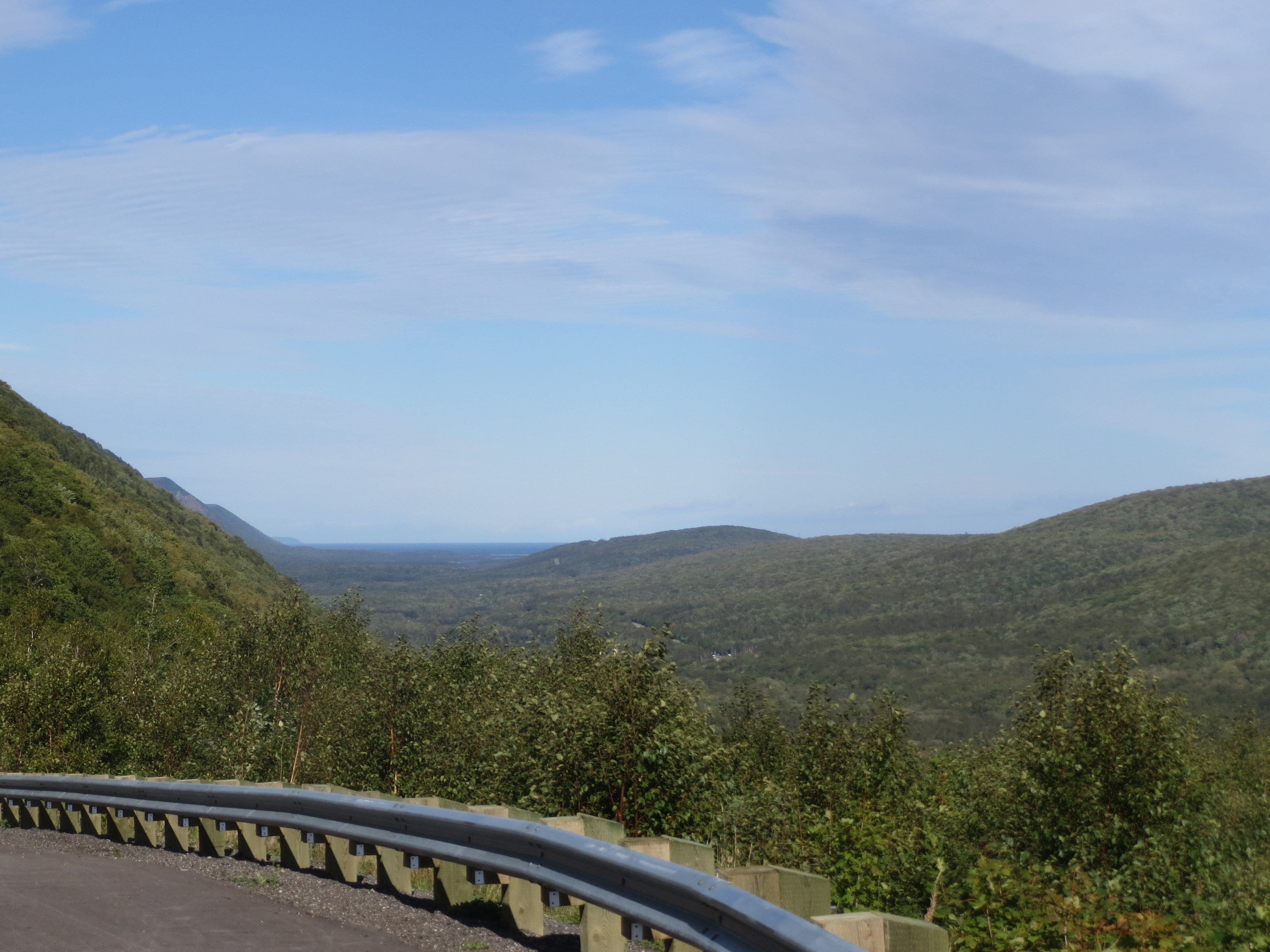
why did we have to do all that climbing? because rocks |
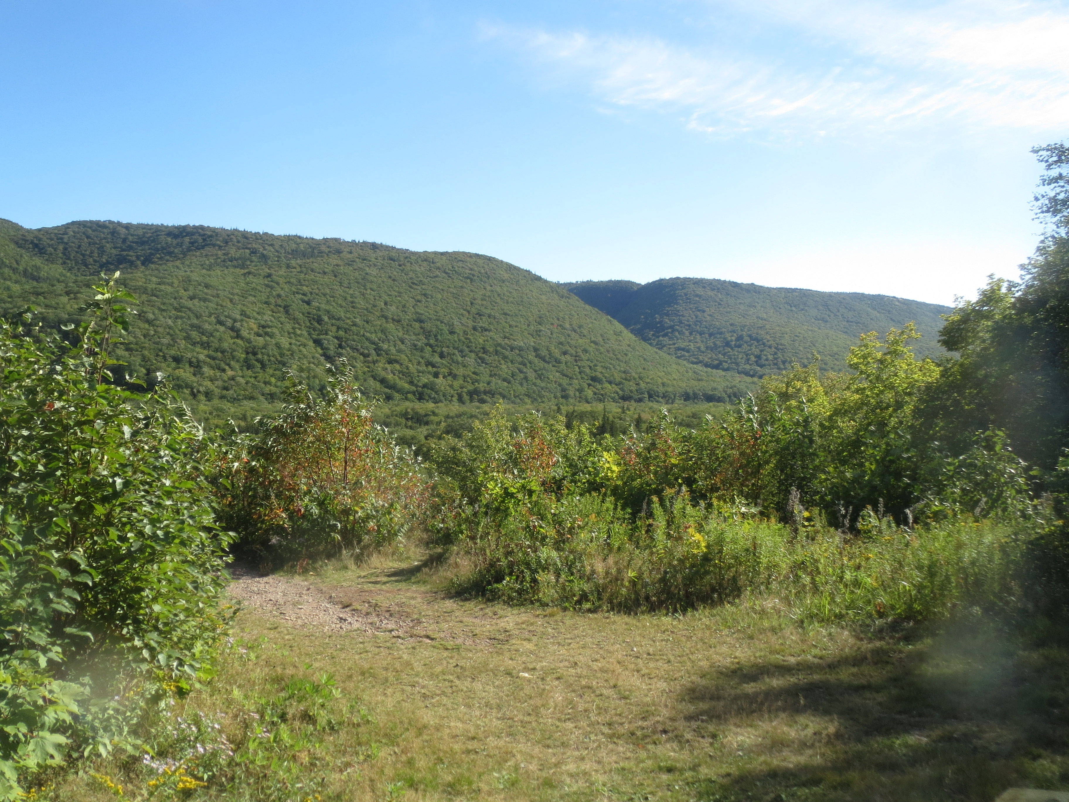
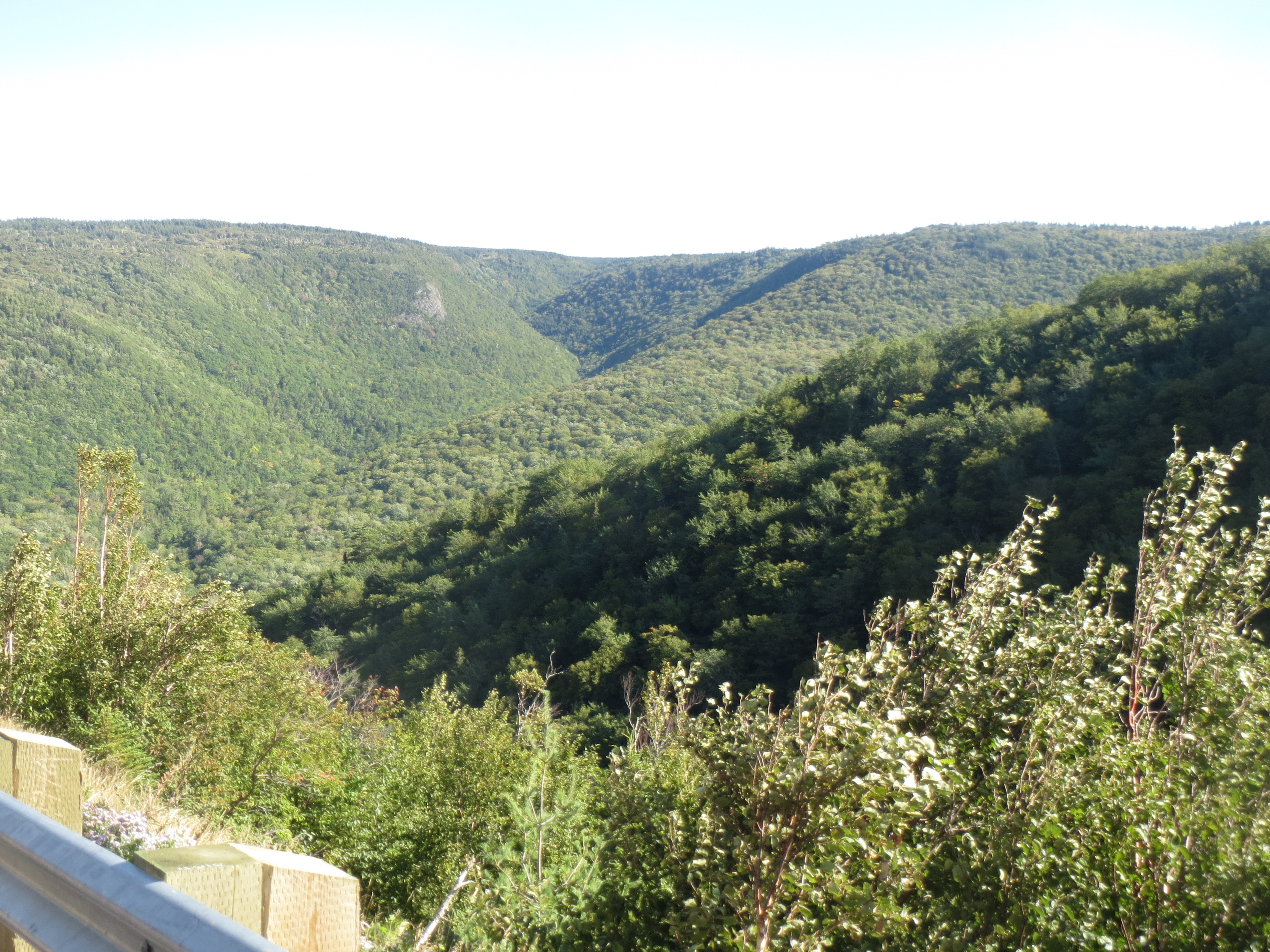
more hanging valley |
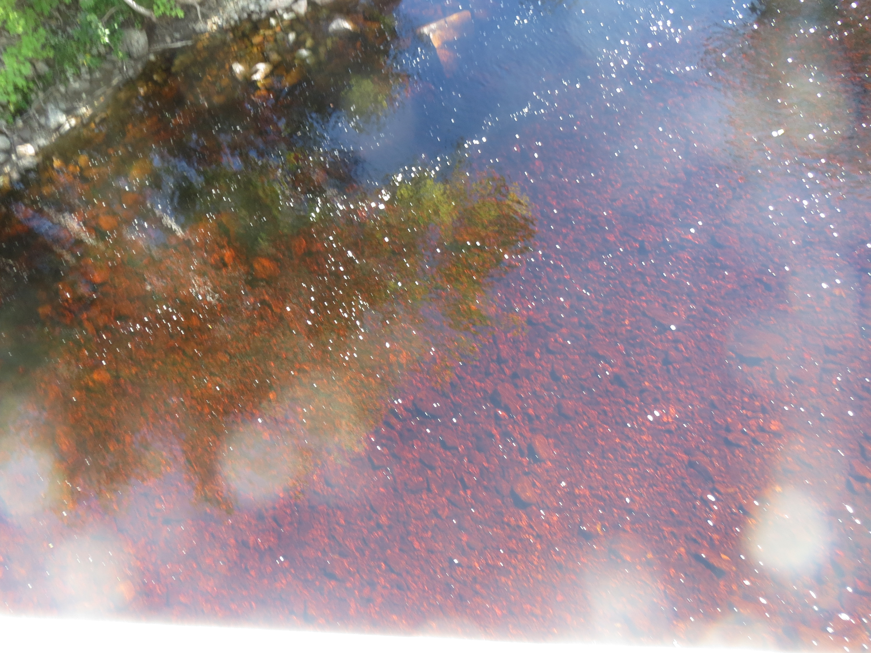
at the bottom of our descent, we find a river with some neat algae |

more river |

never a good sign... i think somewhere after this, we stopped for ice cream, but uncharacteristically i don't seem to have gotten any photos of the souvenir/ice cream shop |
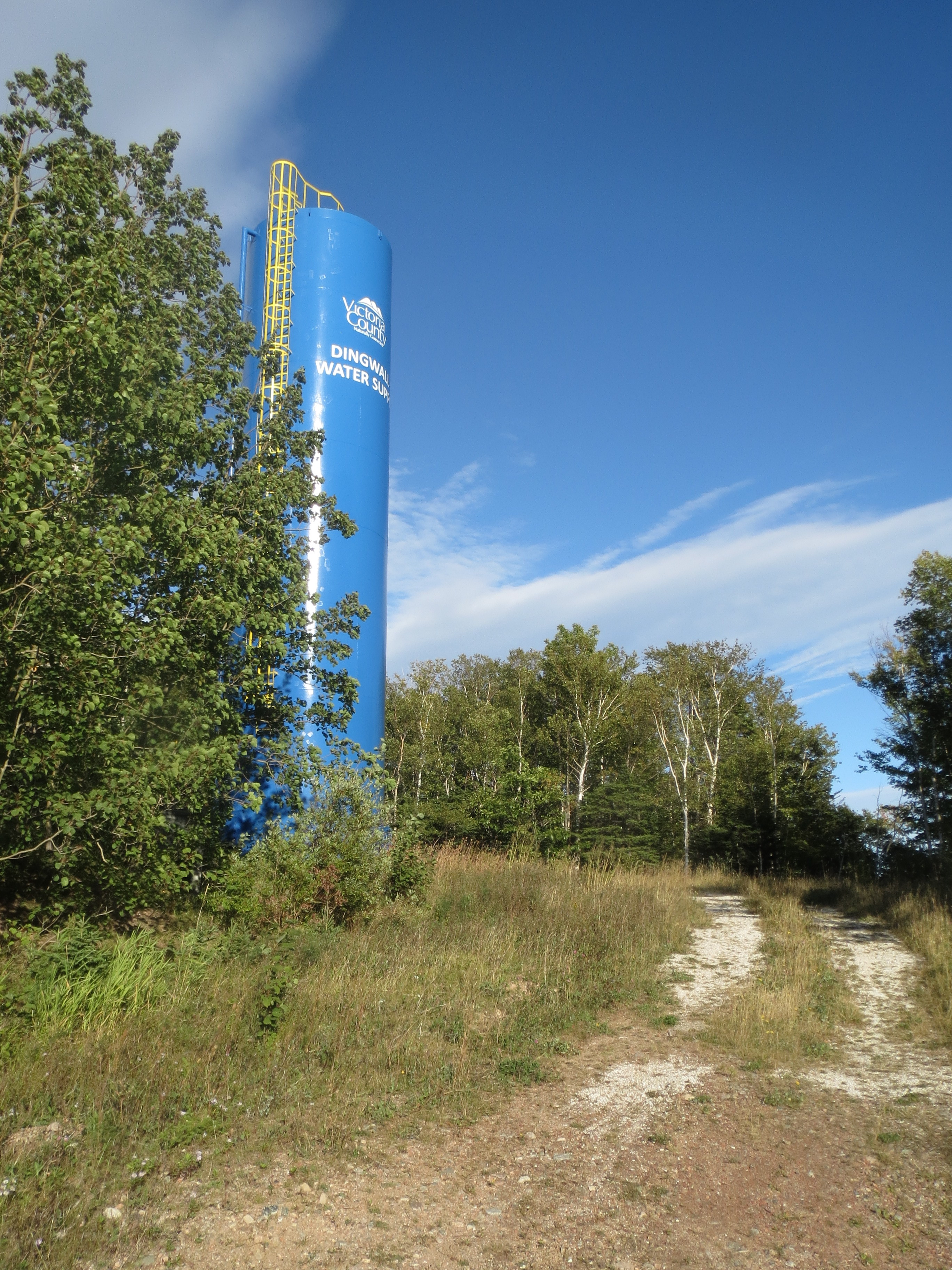
this water tower tells us we're getting close to Dingwall |
view behind on the road to Dingwall |

view ahead on the road to Dingwall |

a lighthouse (not functional in this location) next to a house with a nice red metal roof |
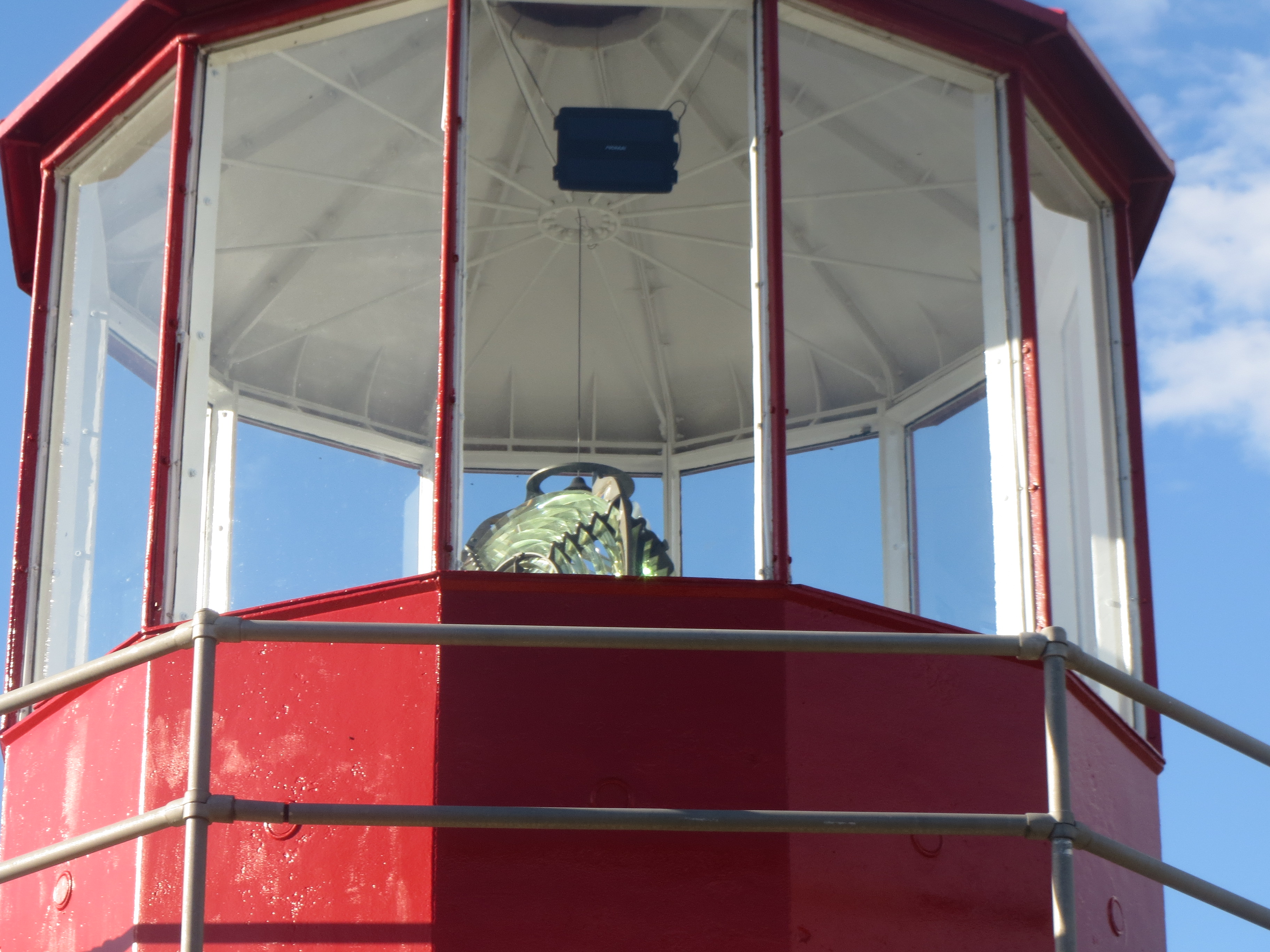
inside of the lighthouse |
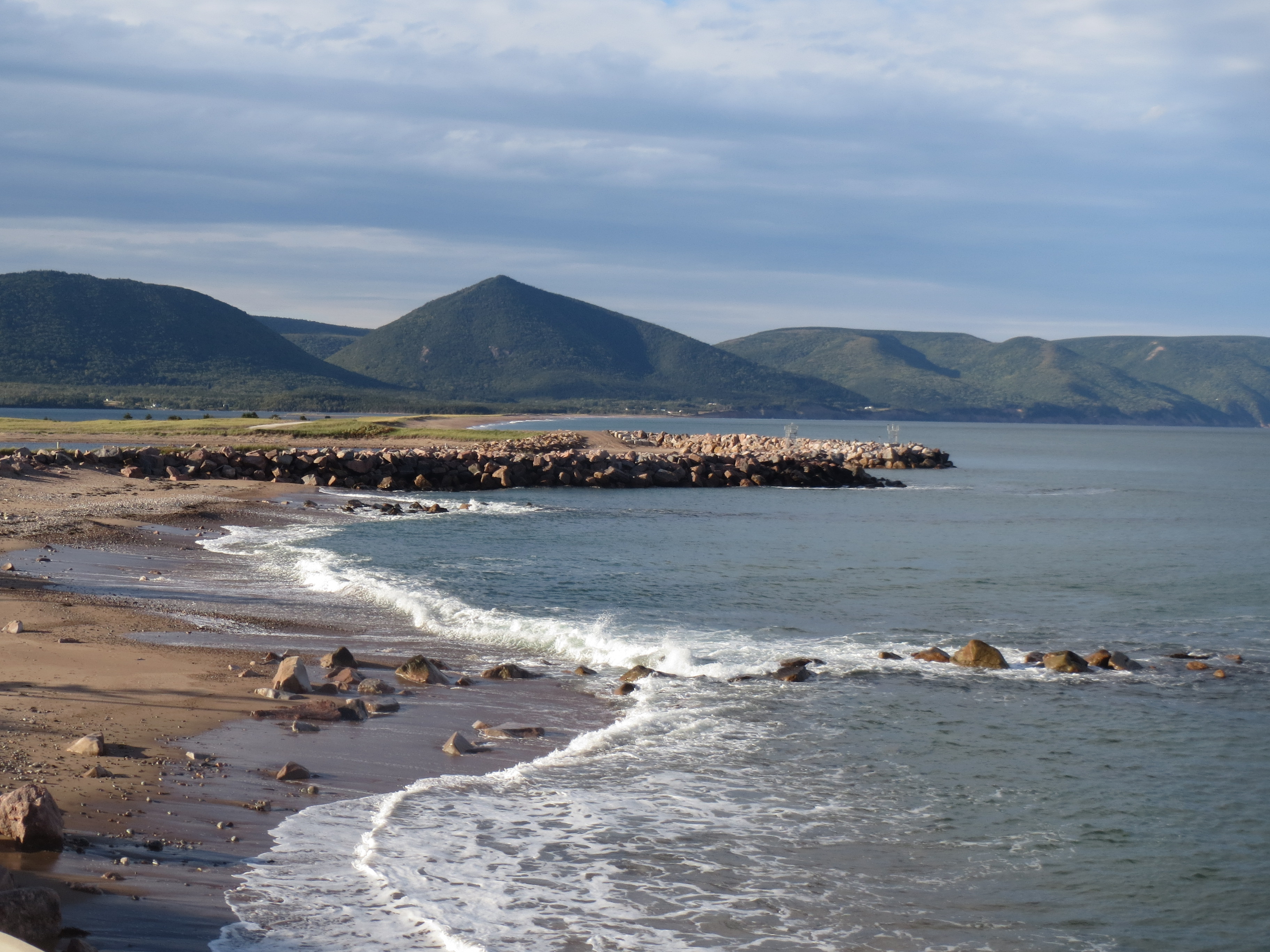
our first view of the Atlantic north from Dingwall |
the northeast tip of Nova Scotia |
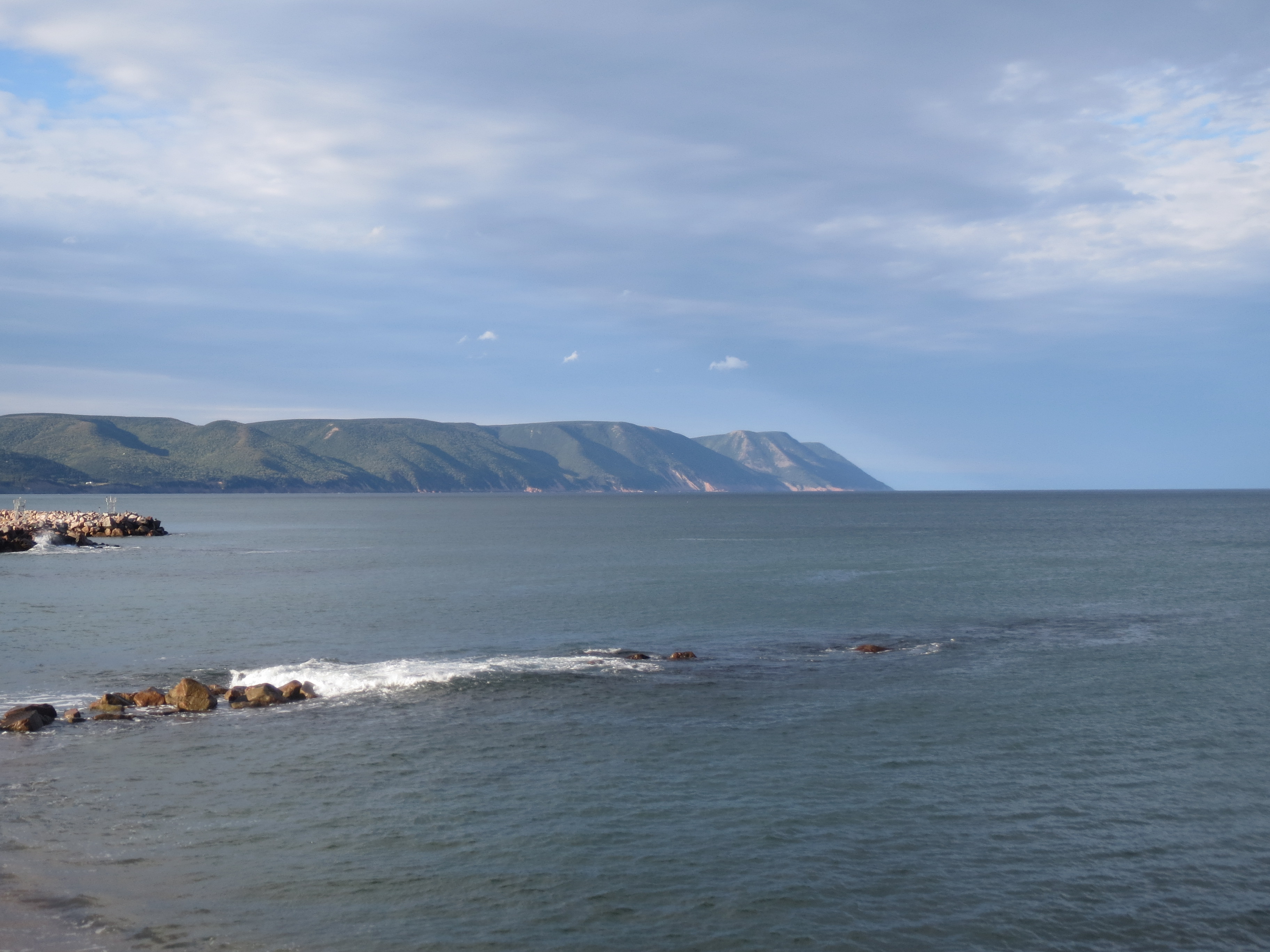
view south to White Point |
the road behind as we enter the Markland (our B&B) |
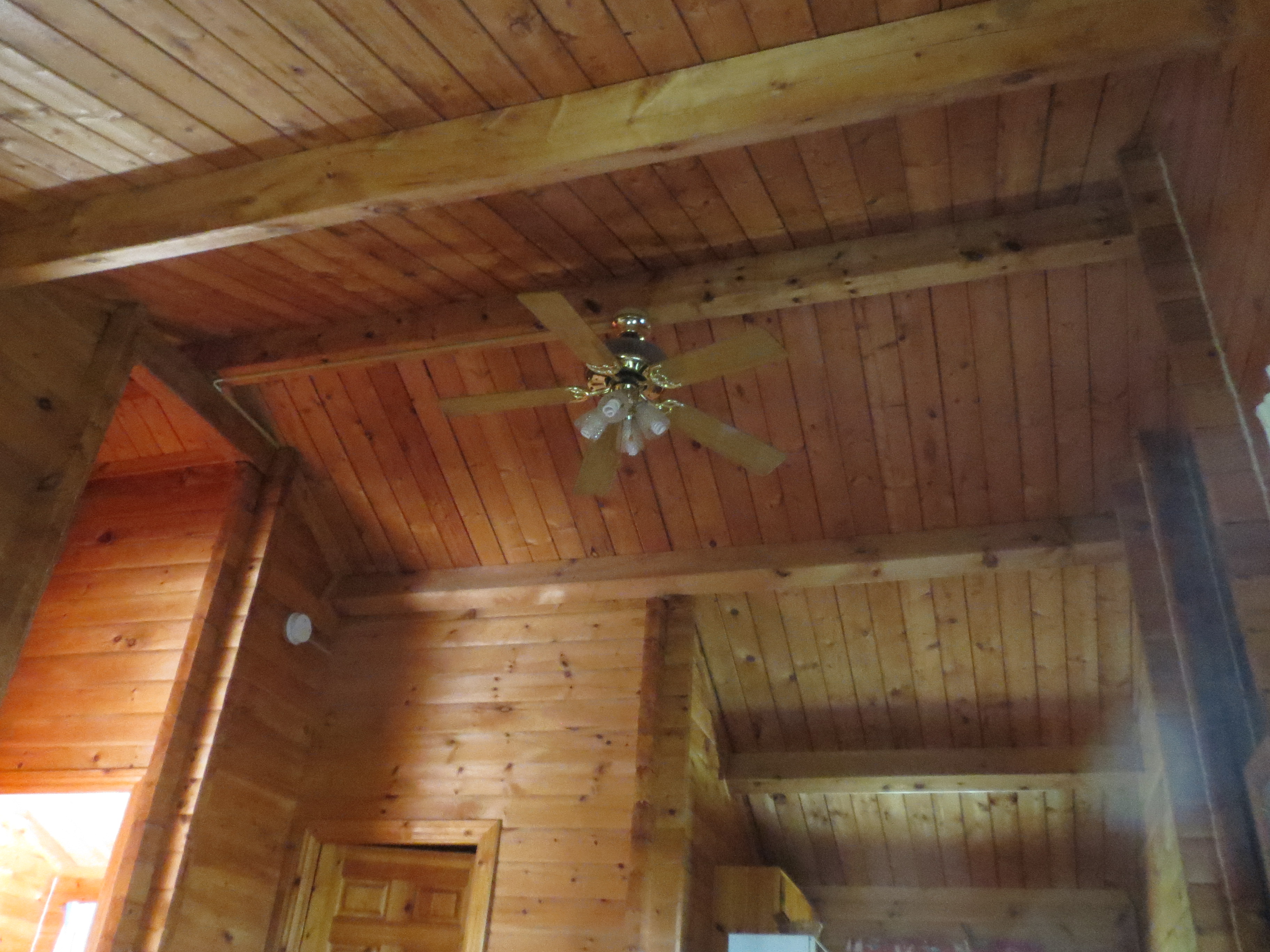
wood ceiling of our cabin |
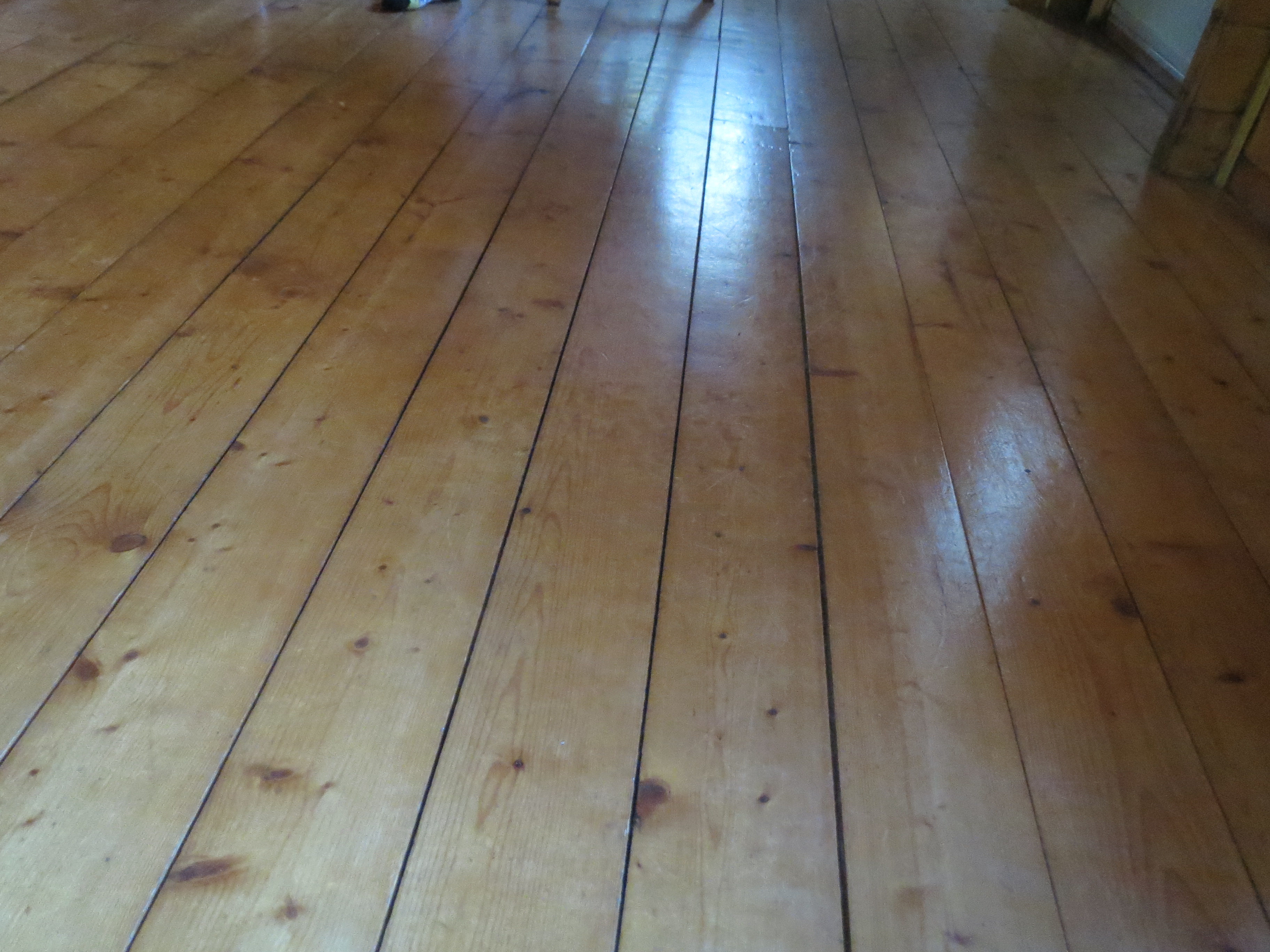
wood floor of our cabin |
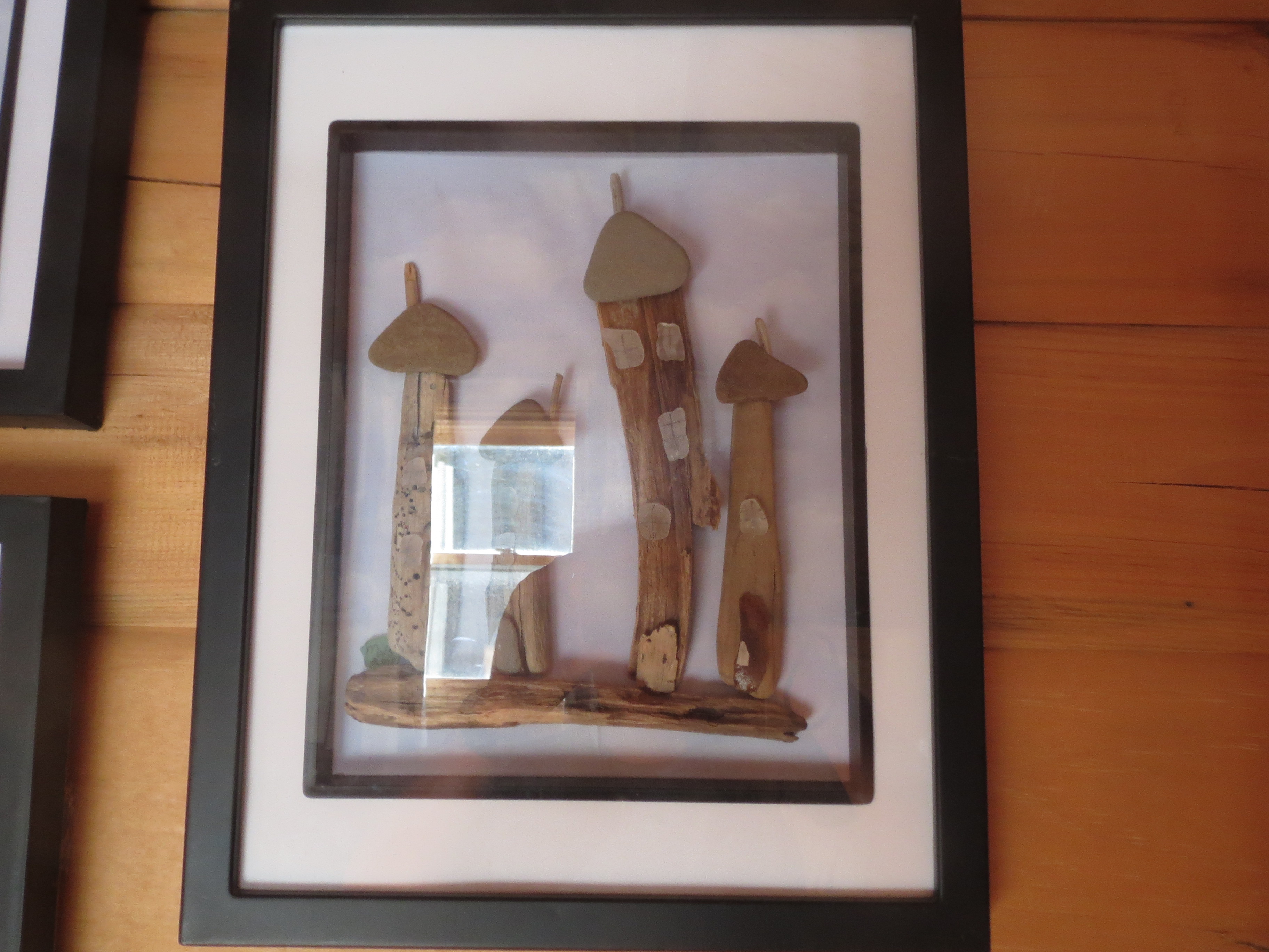
wood wall art of our cabin |
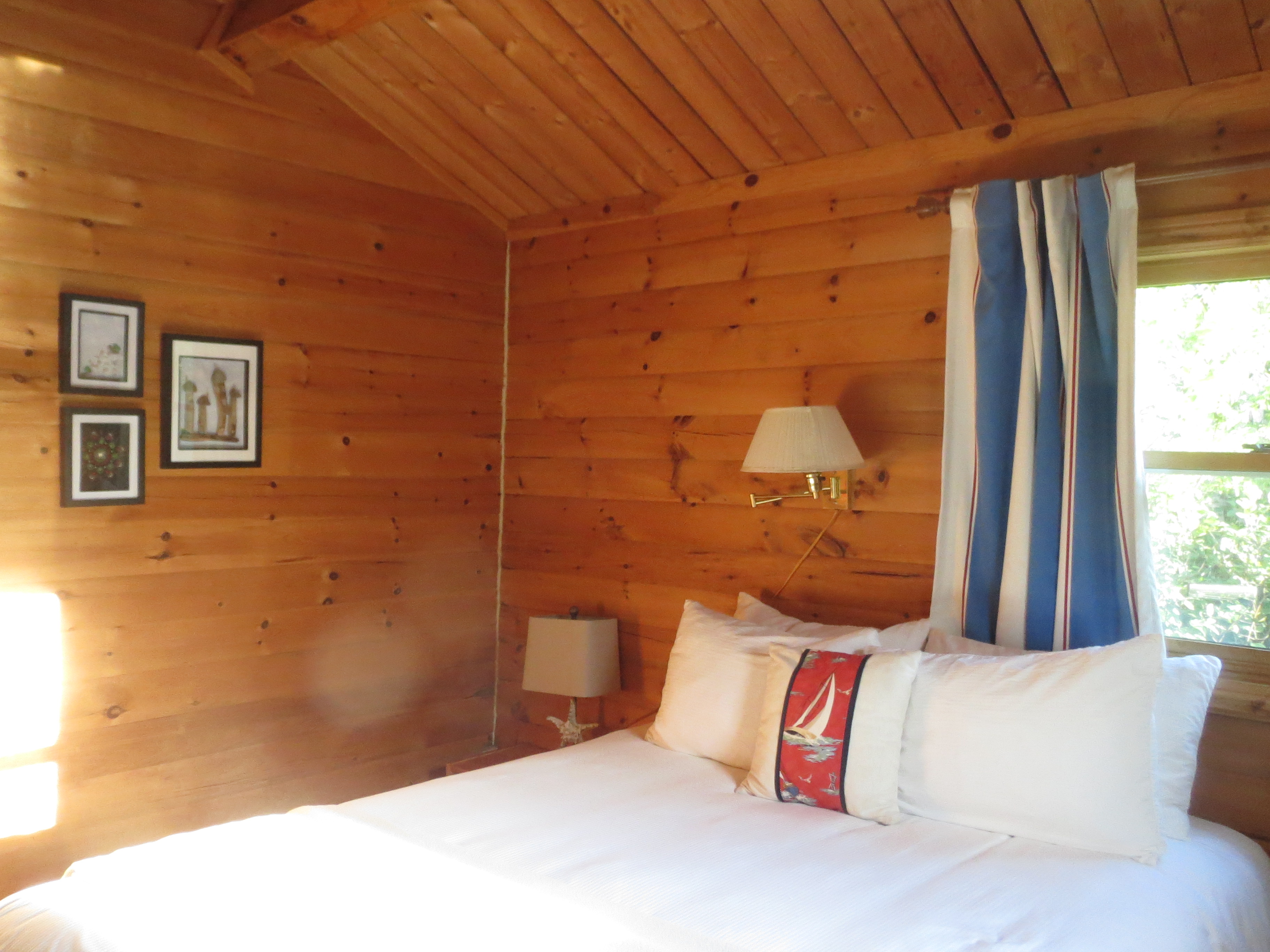
our cabin is in fact very nice, it's just made entirely of wood |
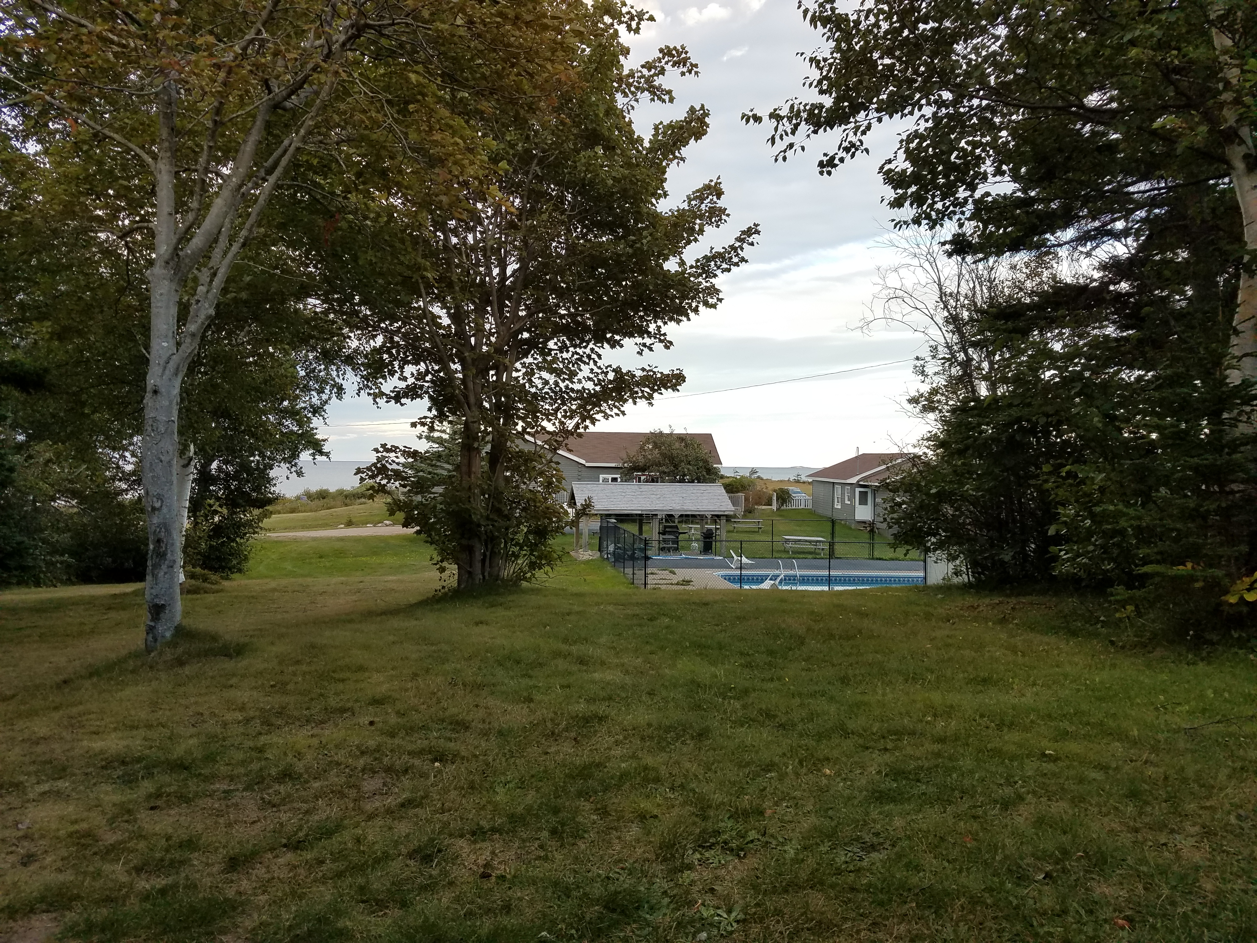
view across the lawn of our cabin towards the ocean |
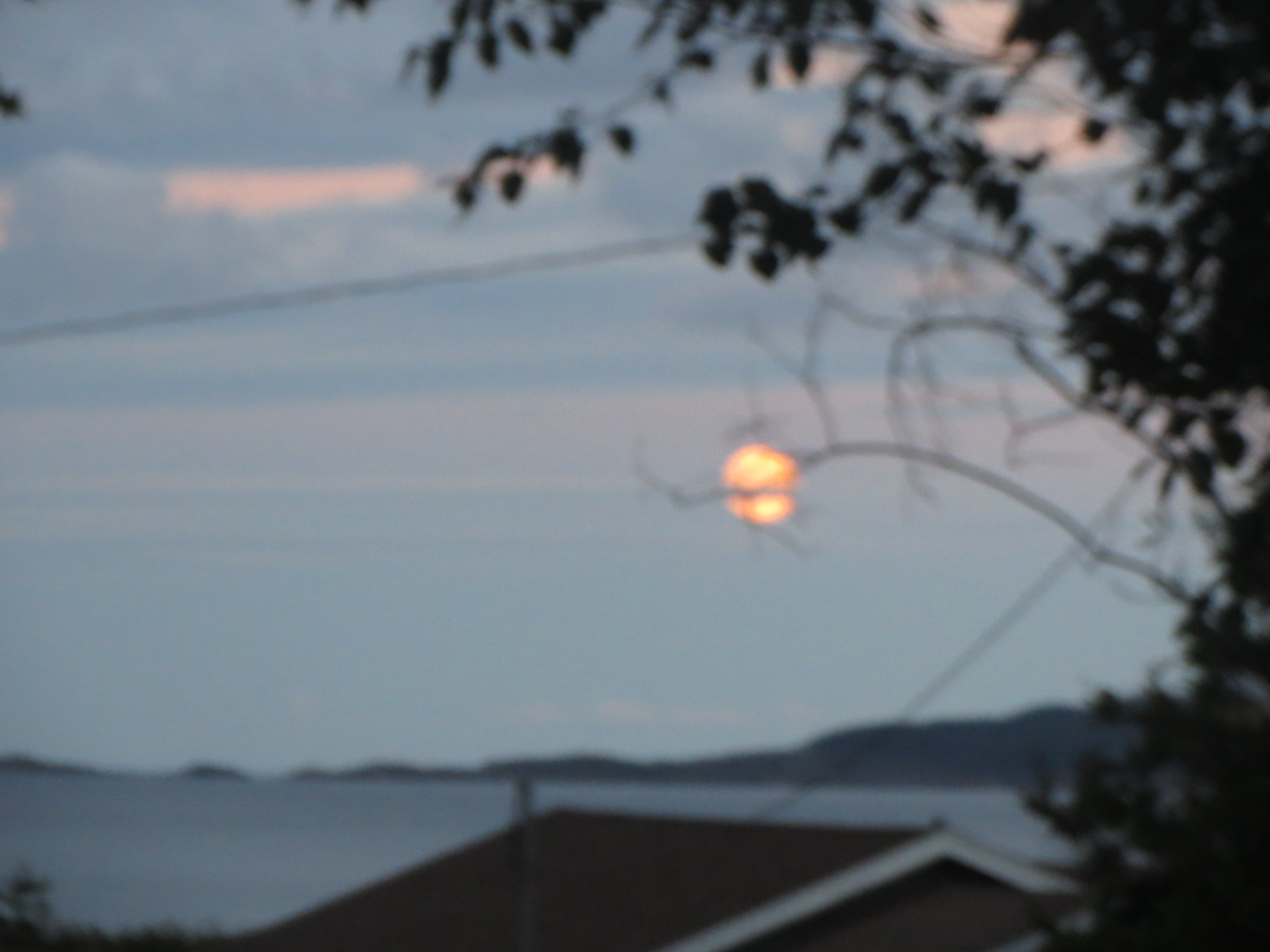
sunset |

sunset |
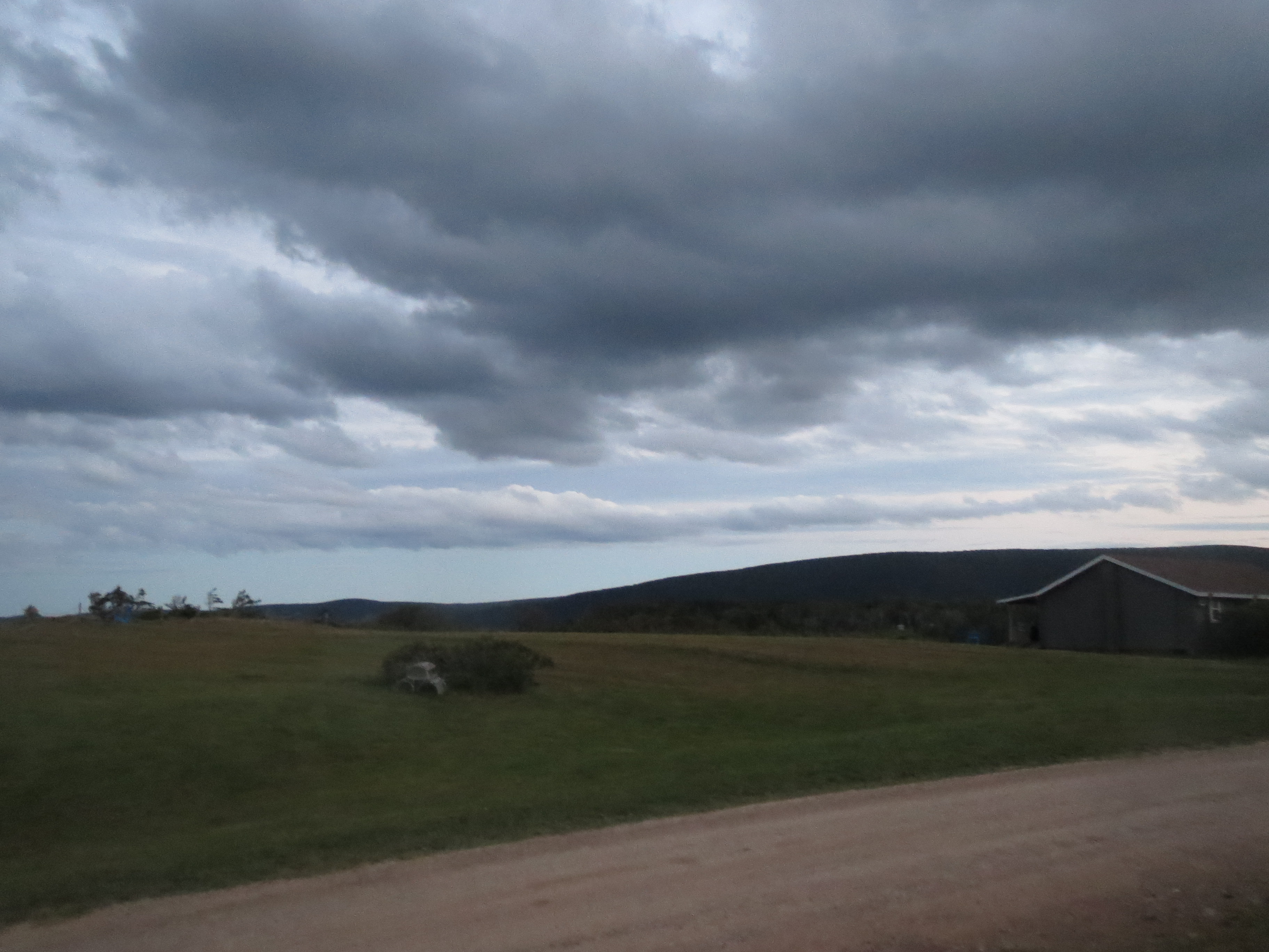
clouds over the hills around our B&B |
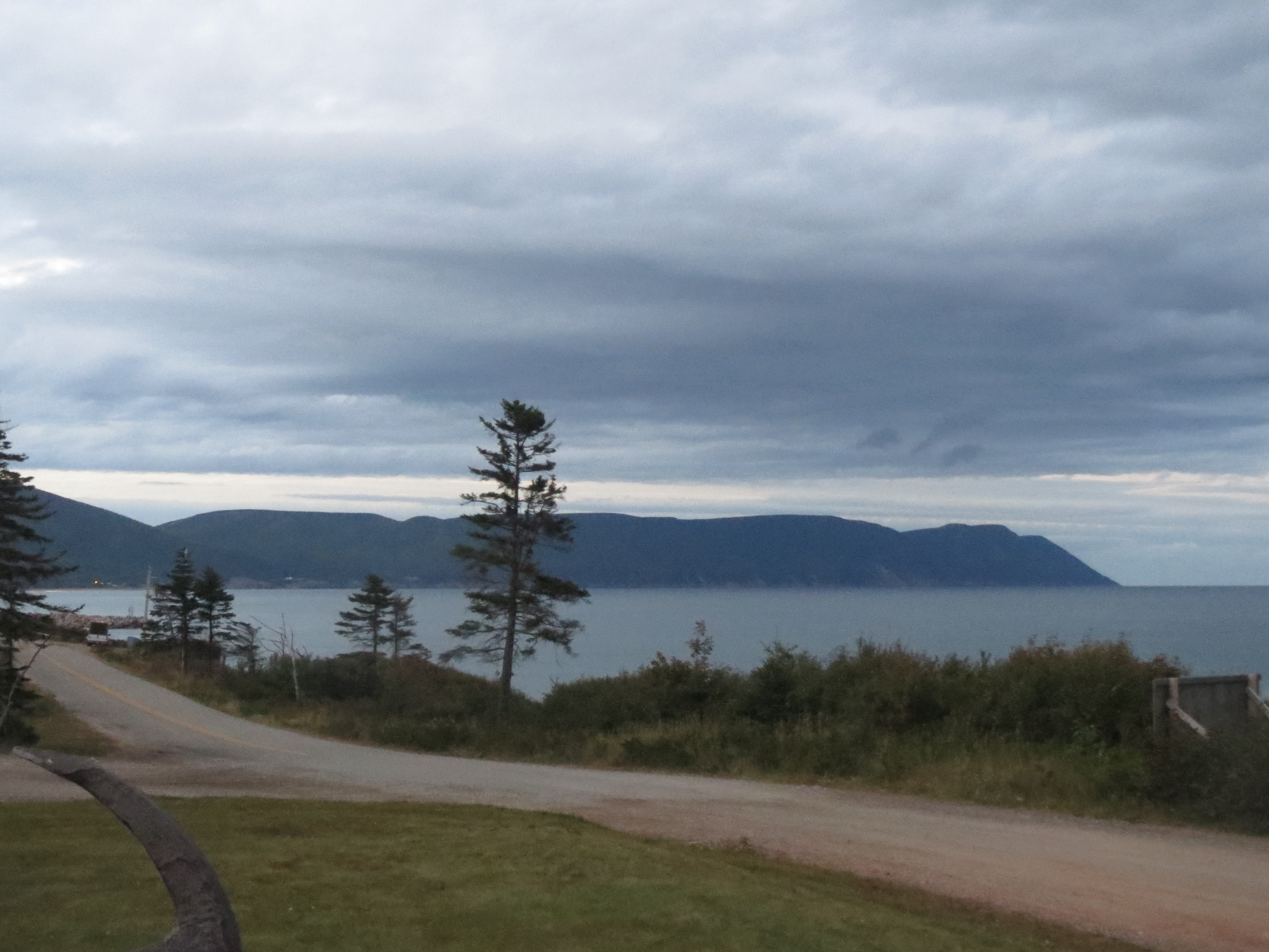
north coastal view at dusk |