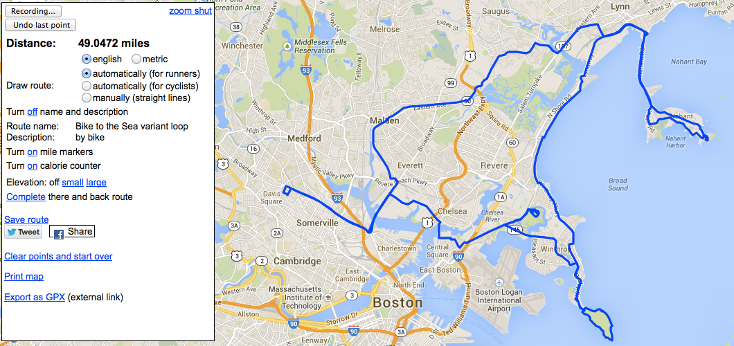
There's an annual ride, Bike to the Sea, which tracks the progress of the Northern Strand Community Path, a partially-built rail trail which will eventually connect Everett to Revere, Lynn, and Nahant. Taking the excuse of dinner plans in East Boston, i made a variant of this route and explored Nahant, Deer Island, and the Belle Isle Marsh Reservation.
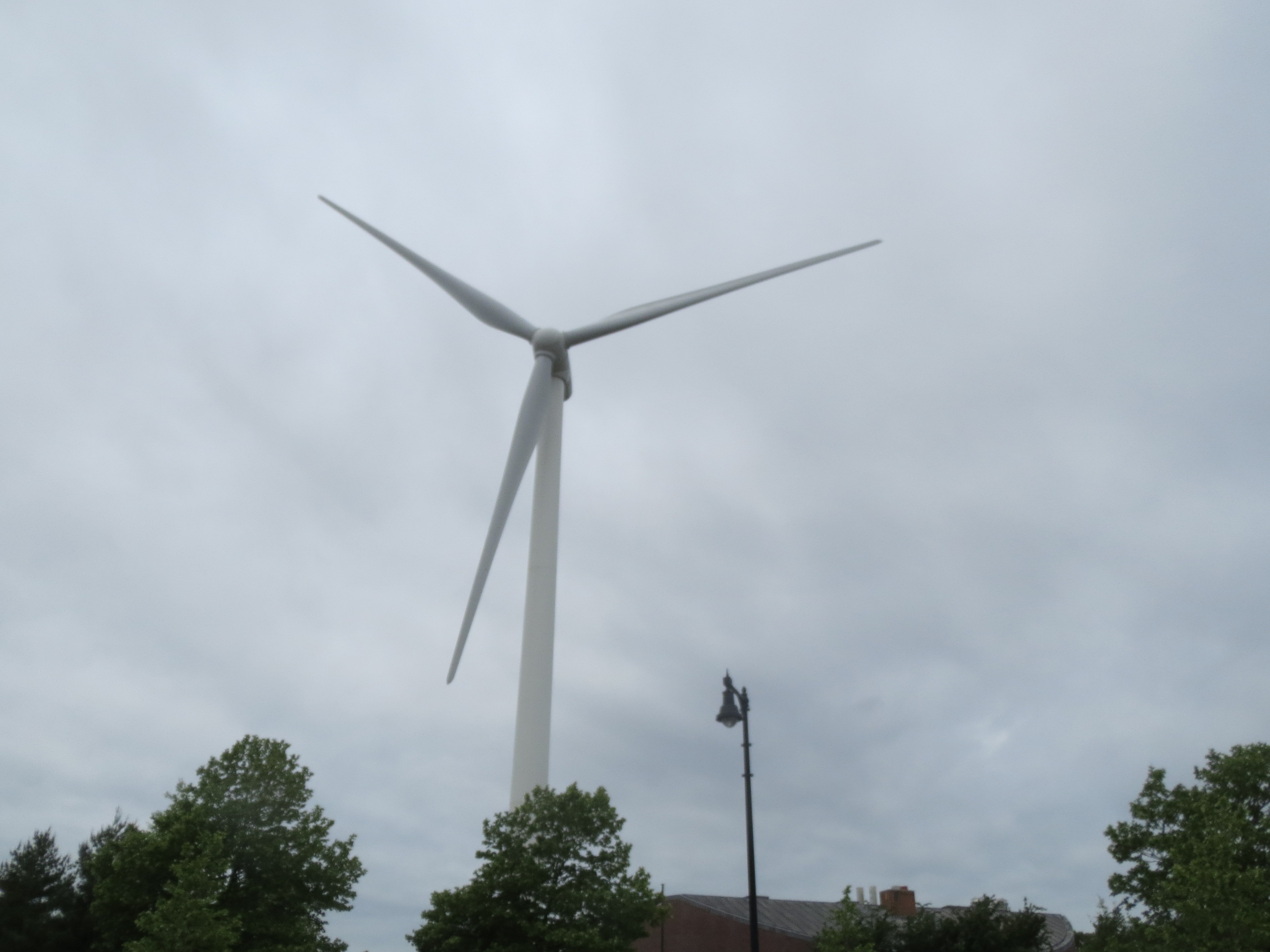
first windmill of the day, in Everett |
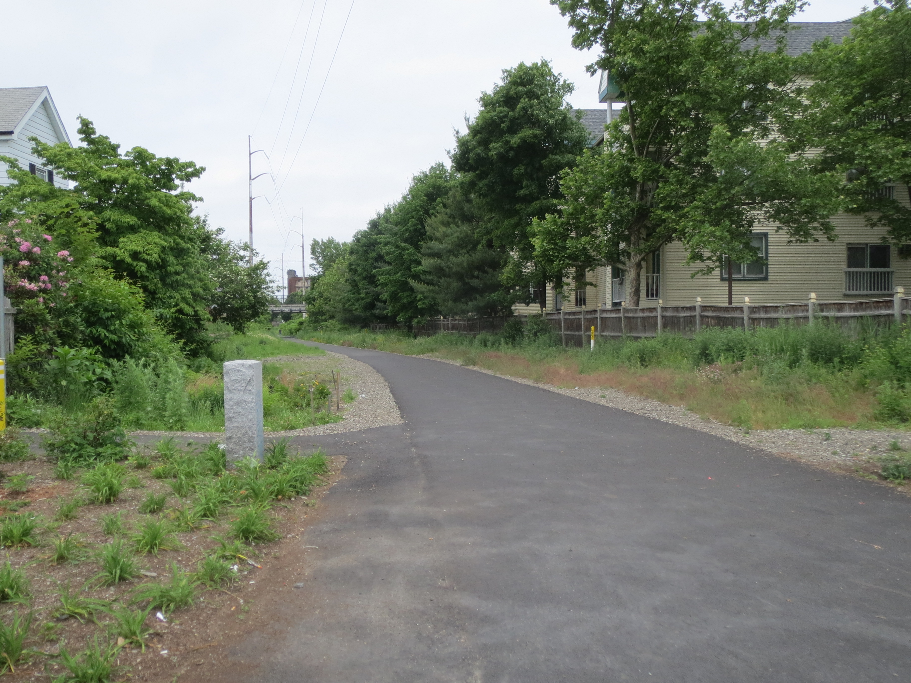
beginning of the Northern Strand Community Path |
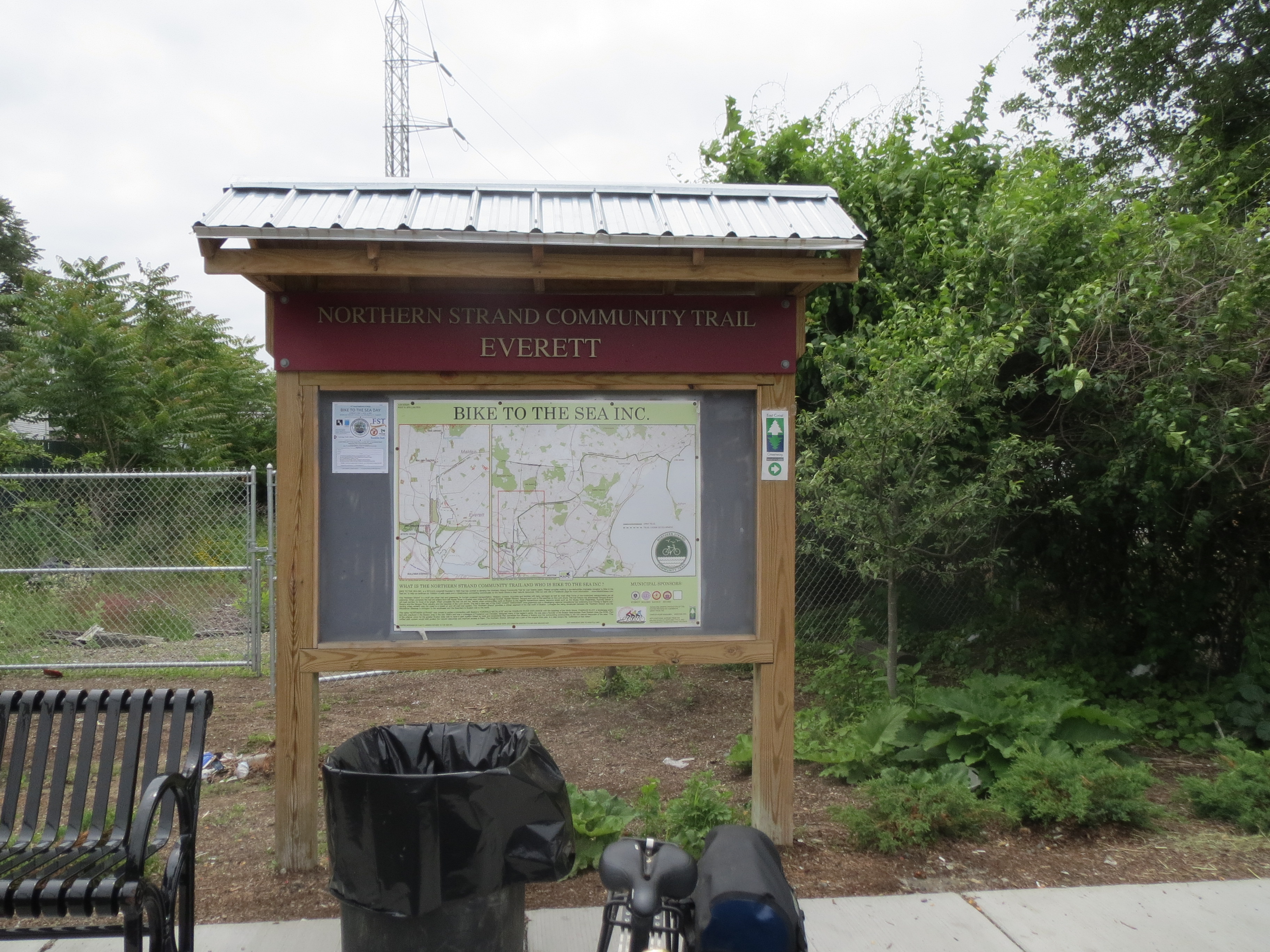
informational poster about Bike to the Sea, with map |
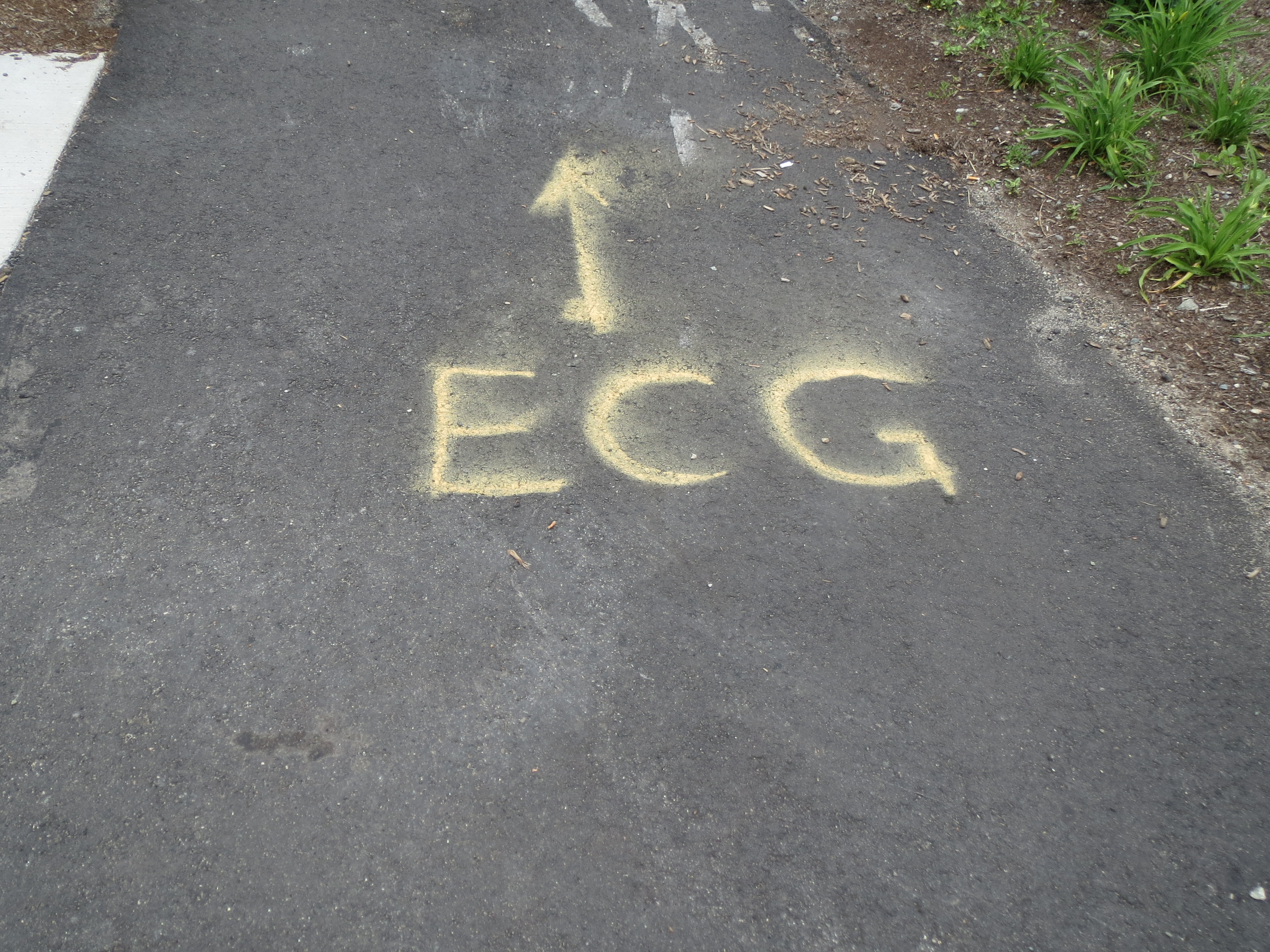
i have no idea what my initials mean when they are a Dig Safe sign |
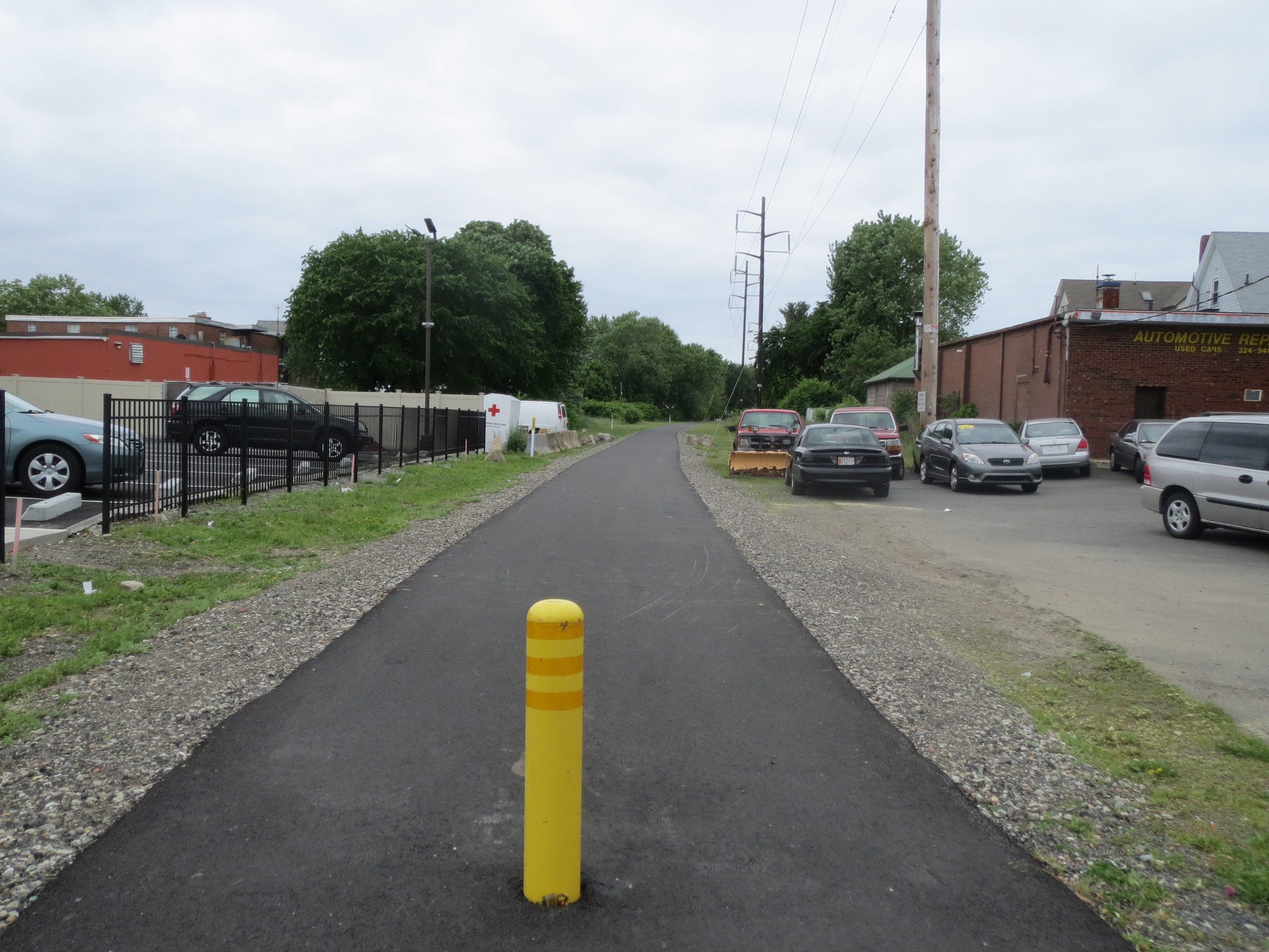
representative section of the community path --- lots of greenery, lots of miscellaneous industrial stuff and office parks alongside the path |
looking east from the Western Ave bridge. the bridge off in the distance with the neat stone turrets is the Lynnway bridge, which i crossed later (but didn't take a picture, because the view west wasn't very interesting, and that bridge was a pain to ride on). |
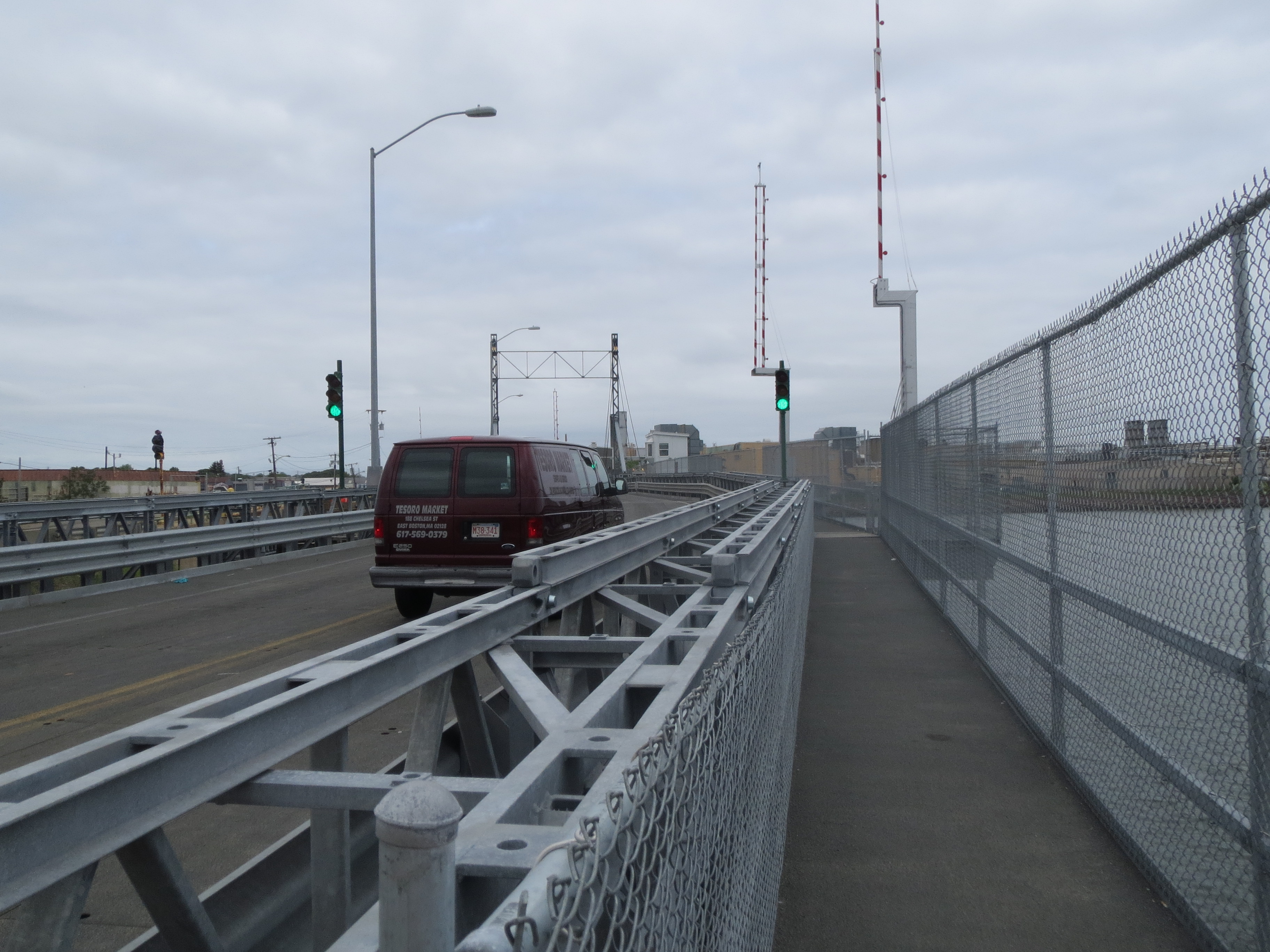
the Western Ave bridge itself has this nicely-paved sidewalk to ride on |
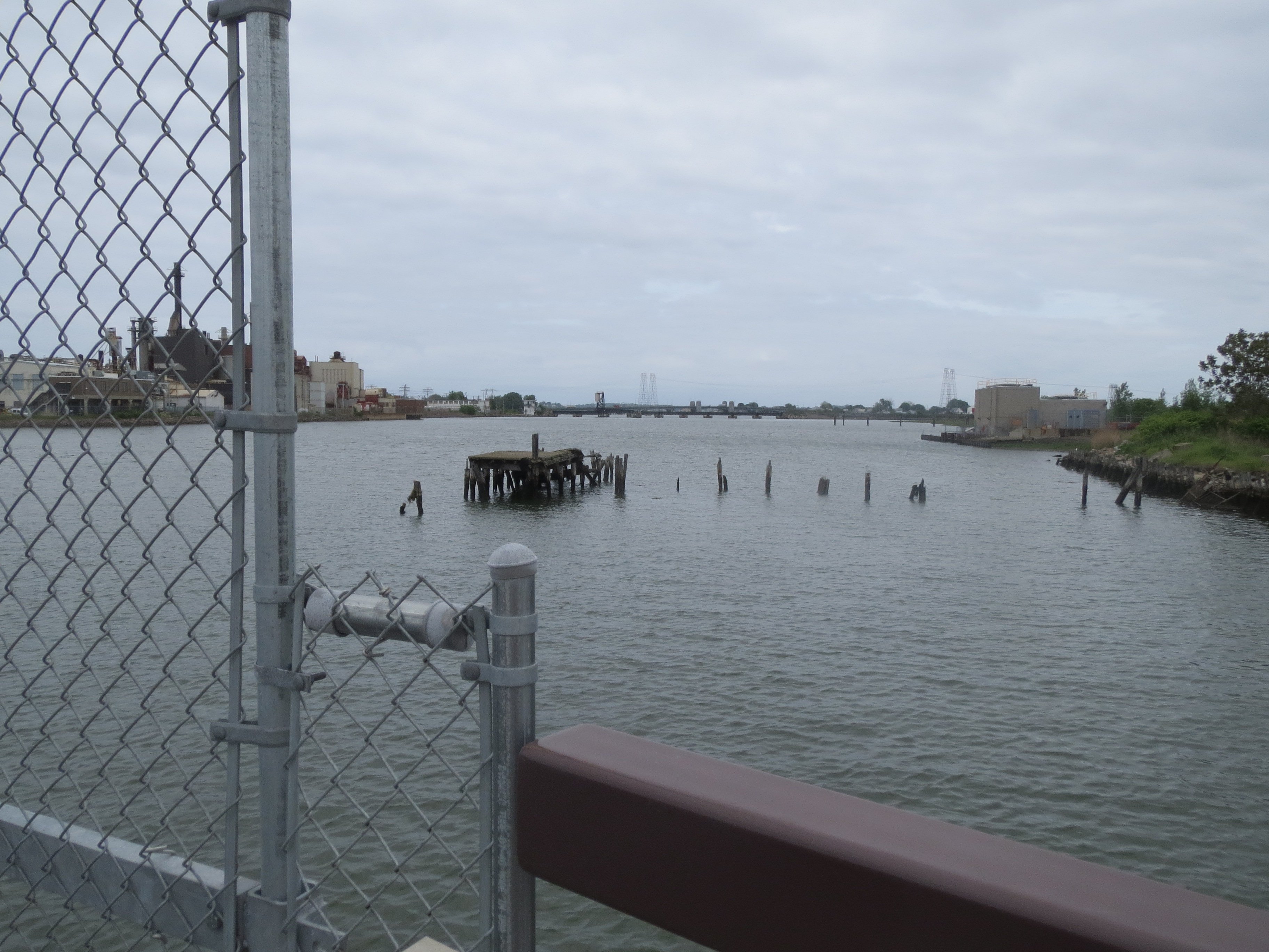
an inlet visible from the Lynnway heading east |
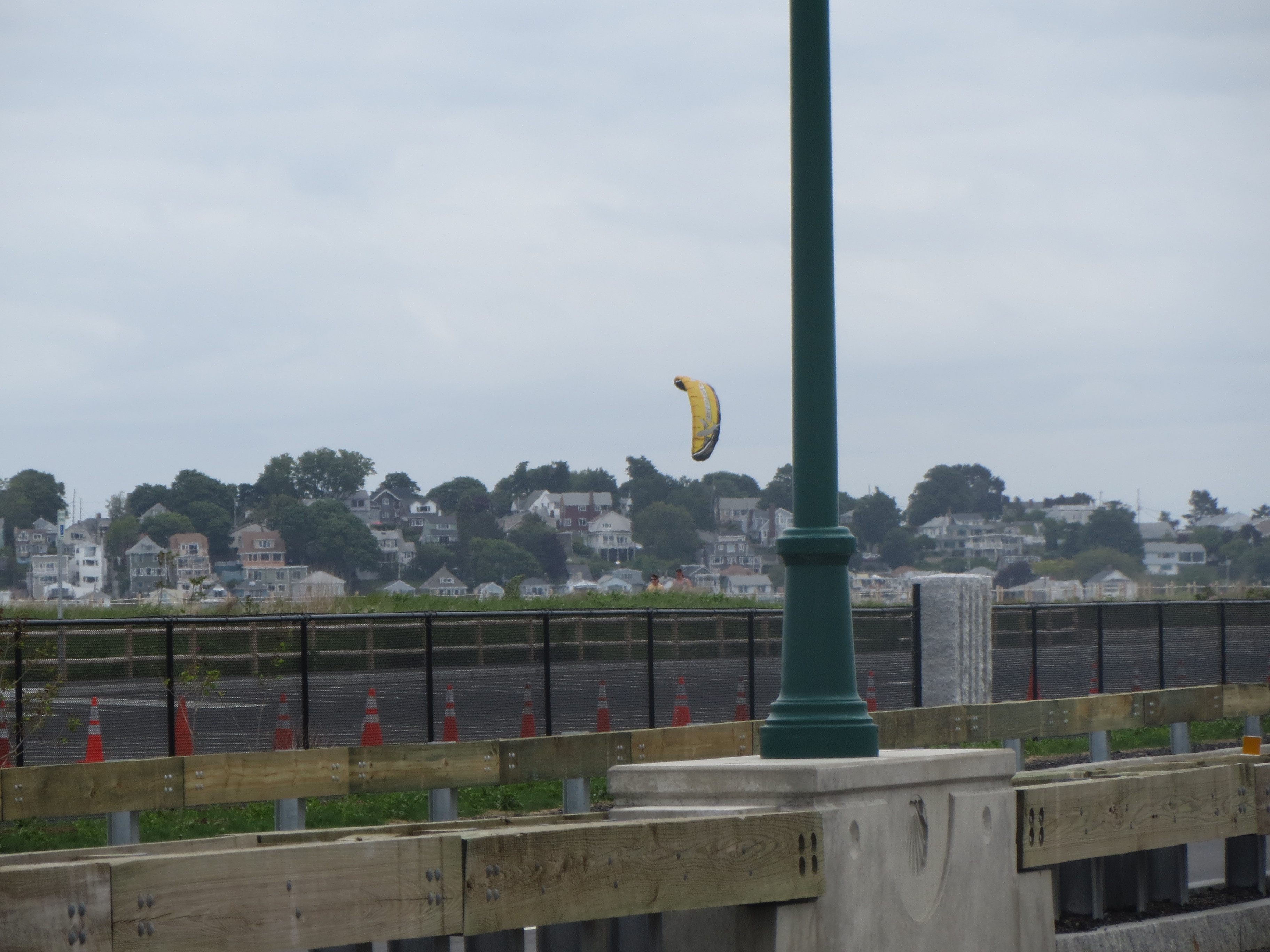
kitesurfers visible across the bridge on the way to Nahant |
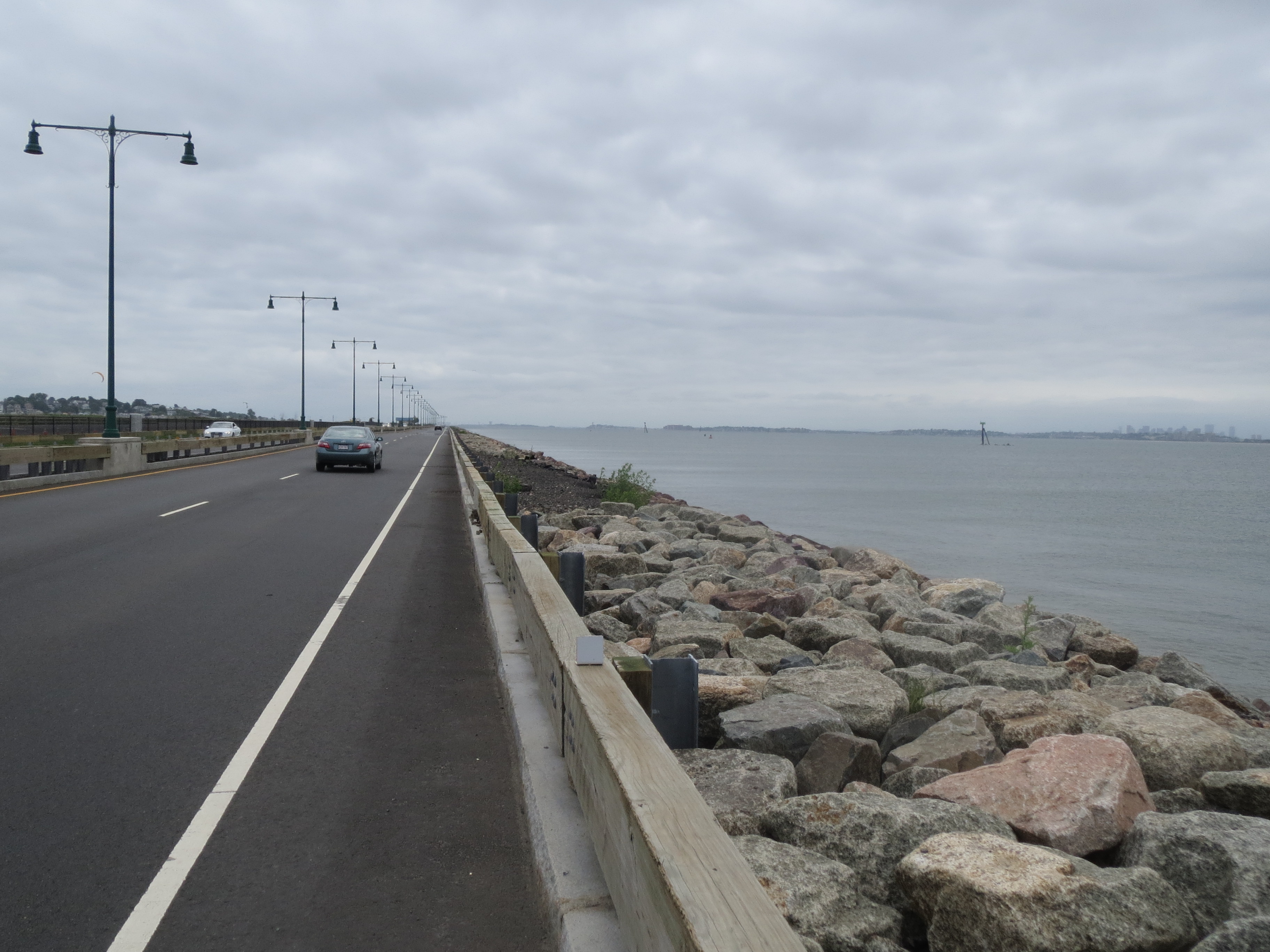
the road to Nahant, along this excellent recently-paved bridge |
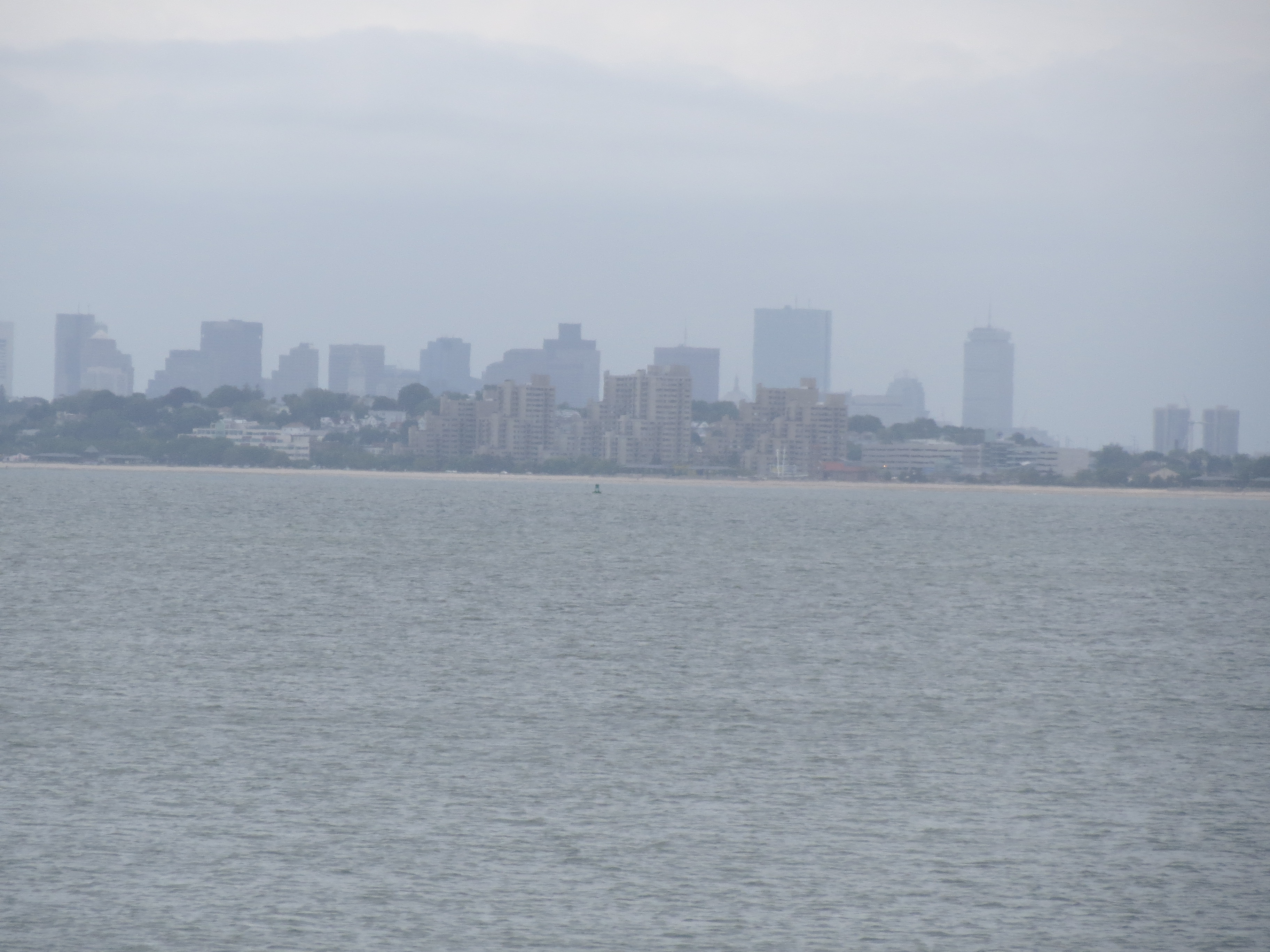
view west from the Nahant bridge. the buildings behind are clearly downtown, and i believe the ones in front are in Revere |
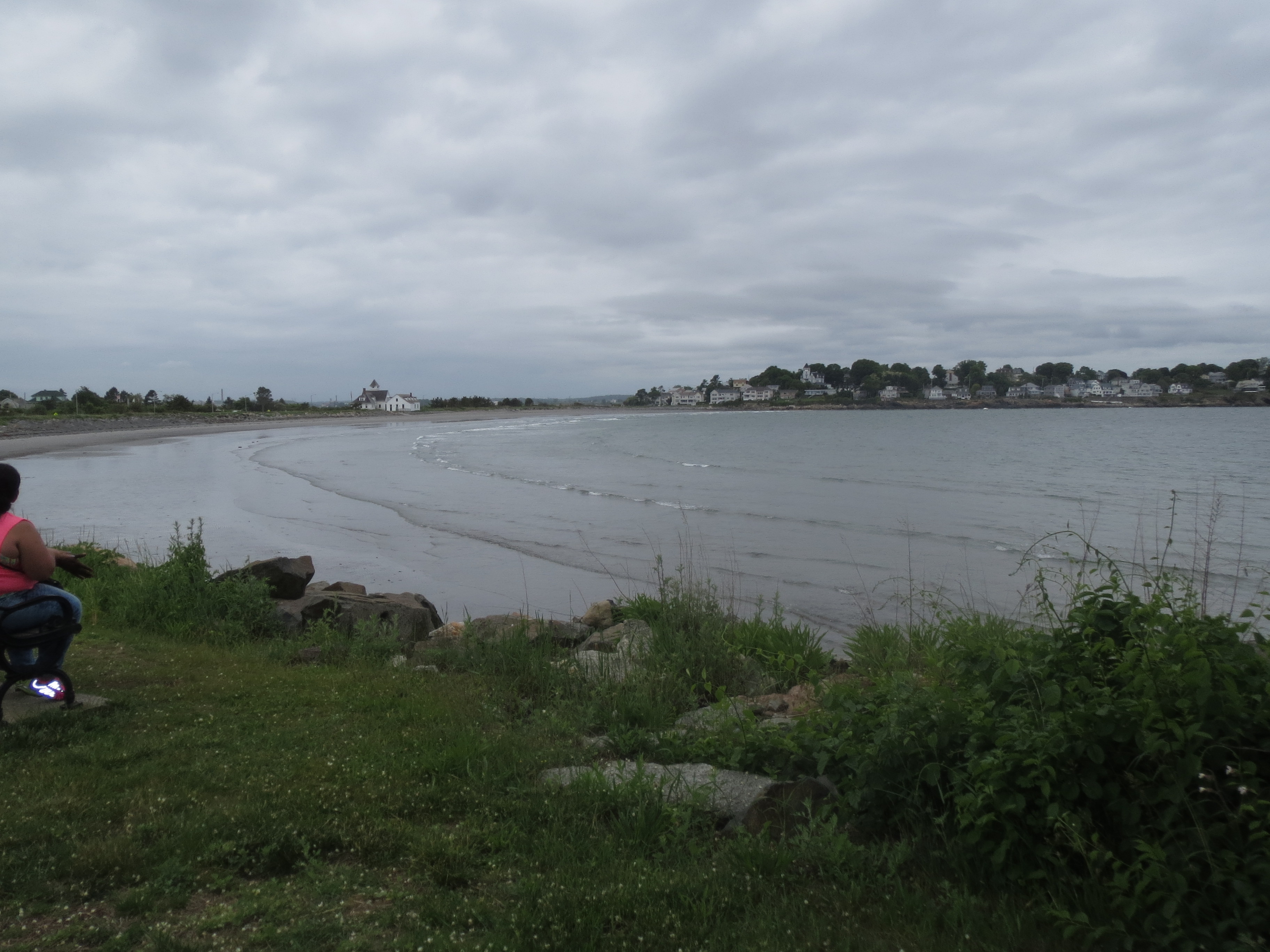
surf between Nahant Island and Little Nahant Island |
houses on Little Nahant Island, viewed from the south |
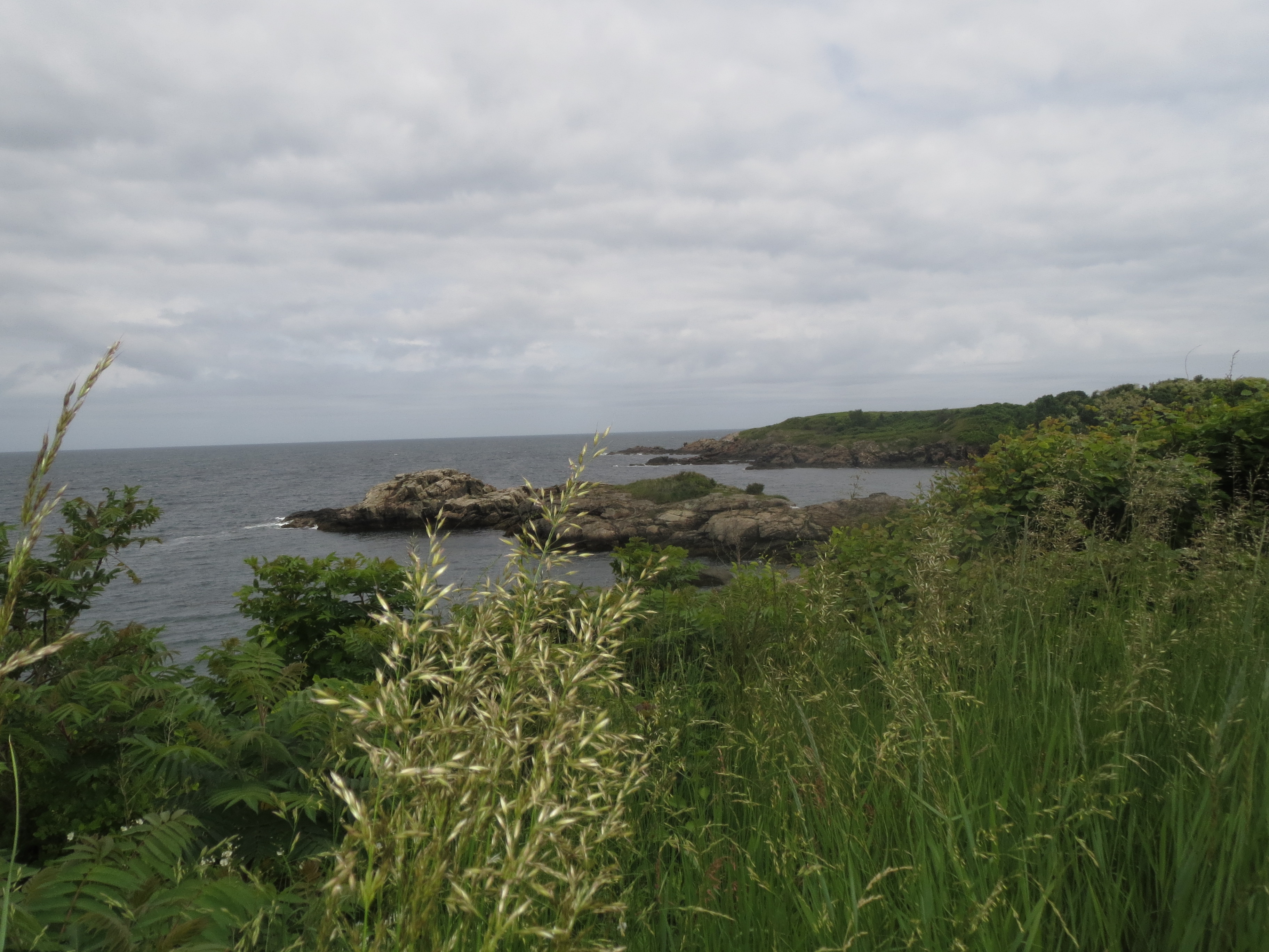
rocky coastline on the southeastern edge of Nahant Island |
in the Northeastern University Marine Science Center, where i got turned around finding my next route instruction |
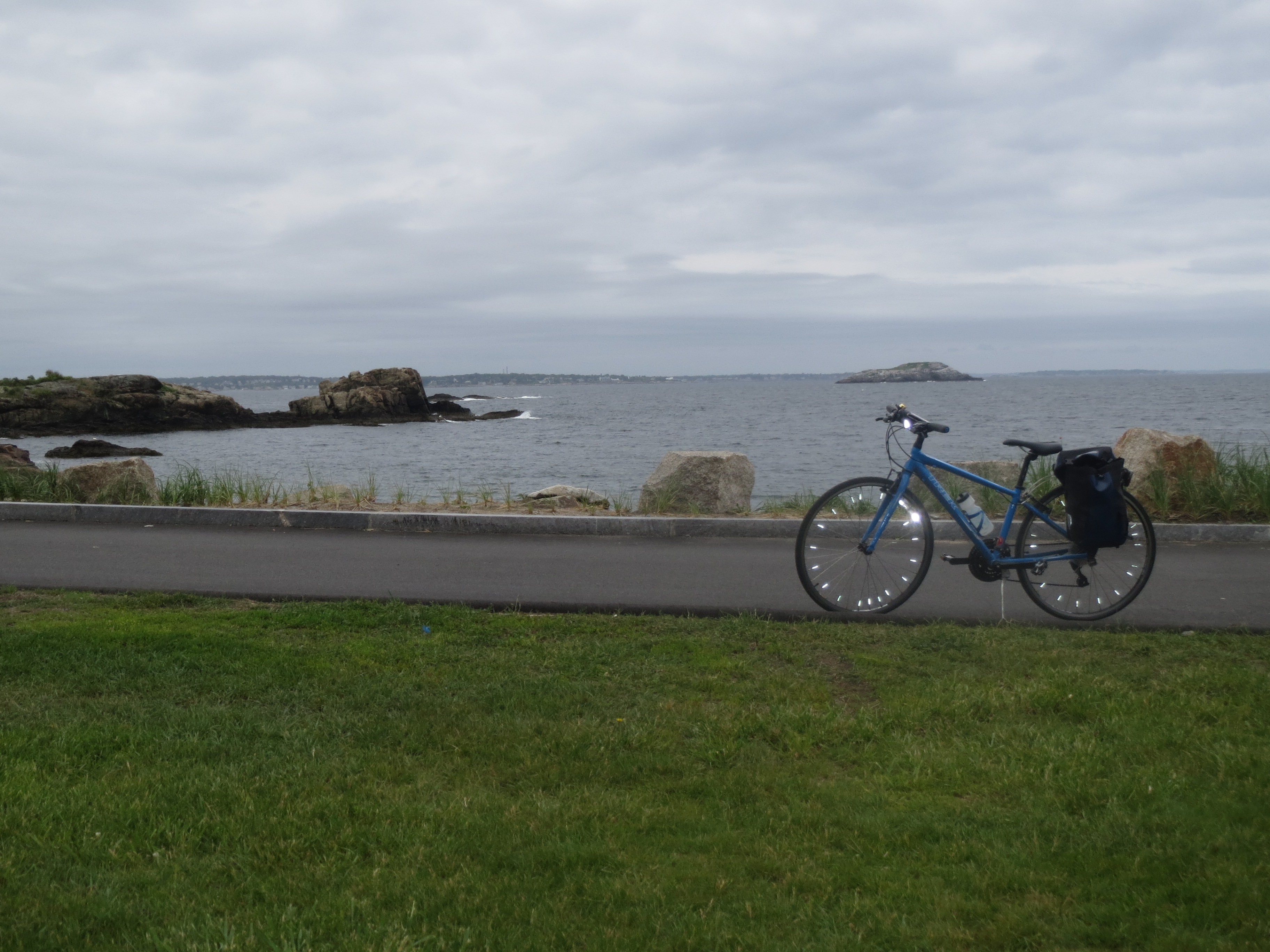
my bike, on the southeastern edge of Nahant Island. spoke reflectors are great. everyone should have spoke reflectors |
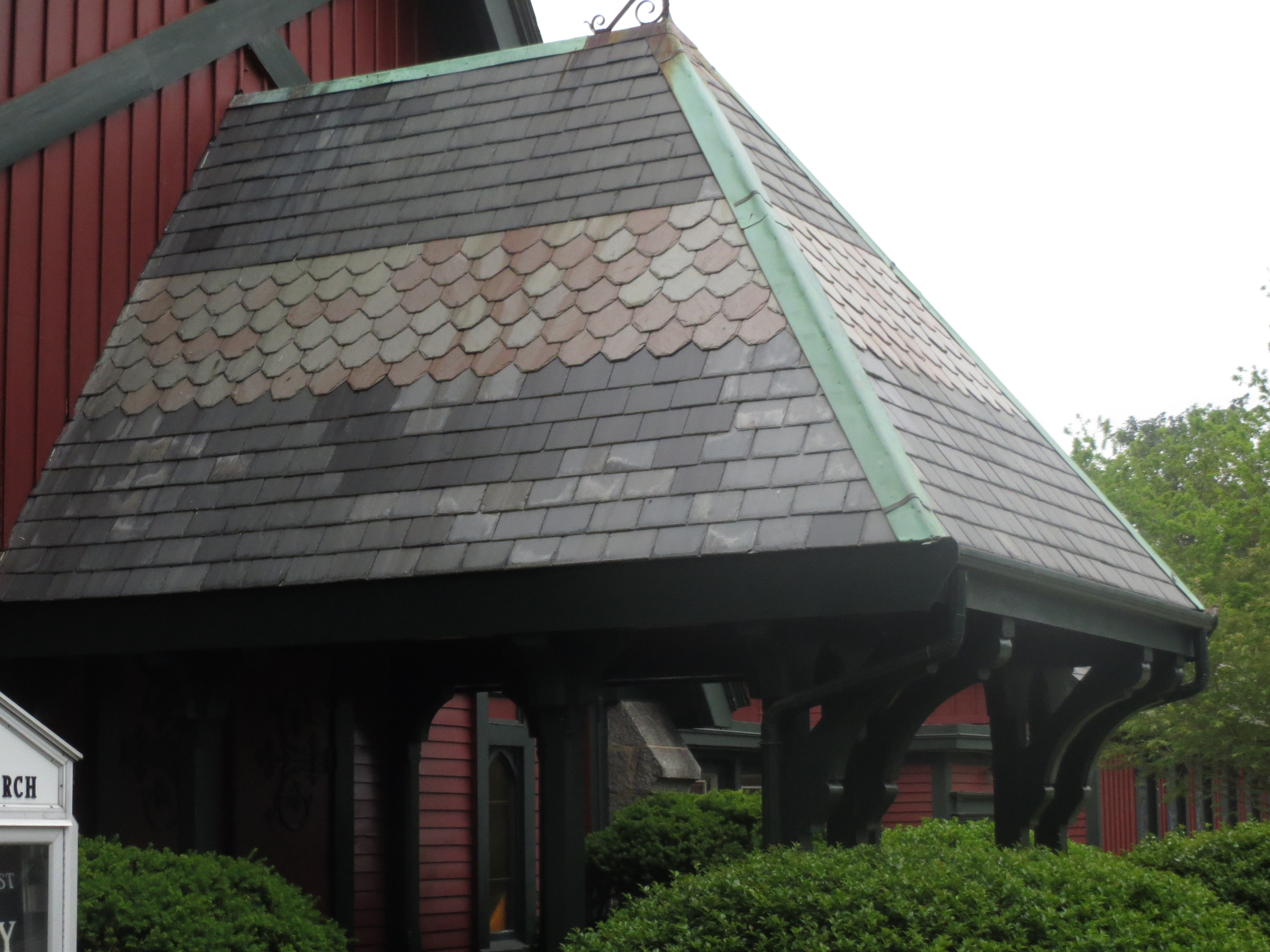
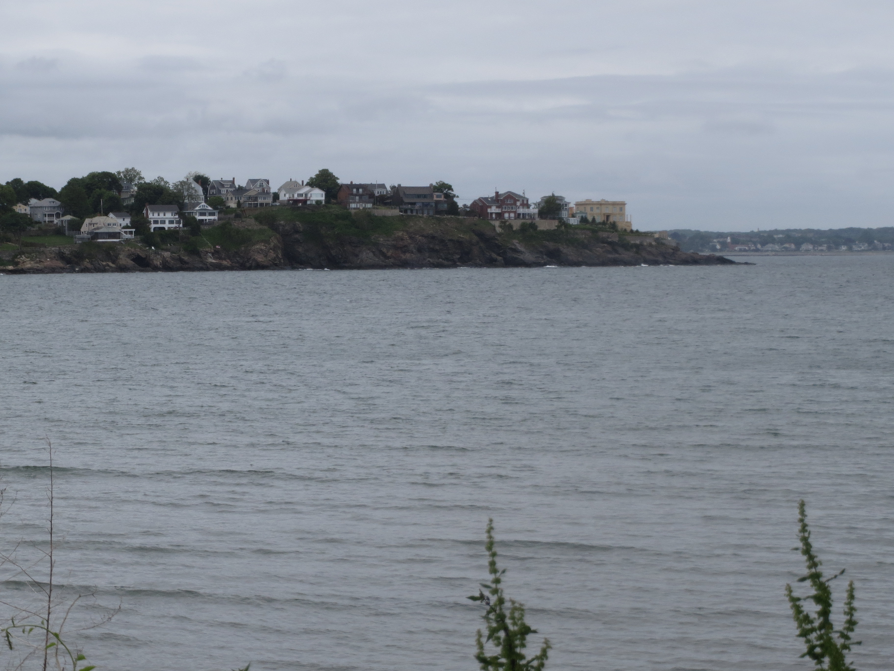
part of a fantastic slate roof on Nahant (the rest of it looked like this too, only much bigger and behind a tree) |
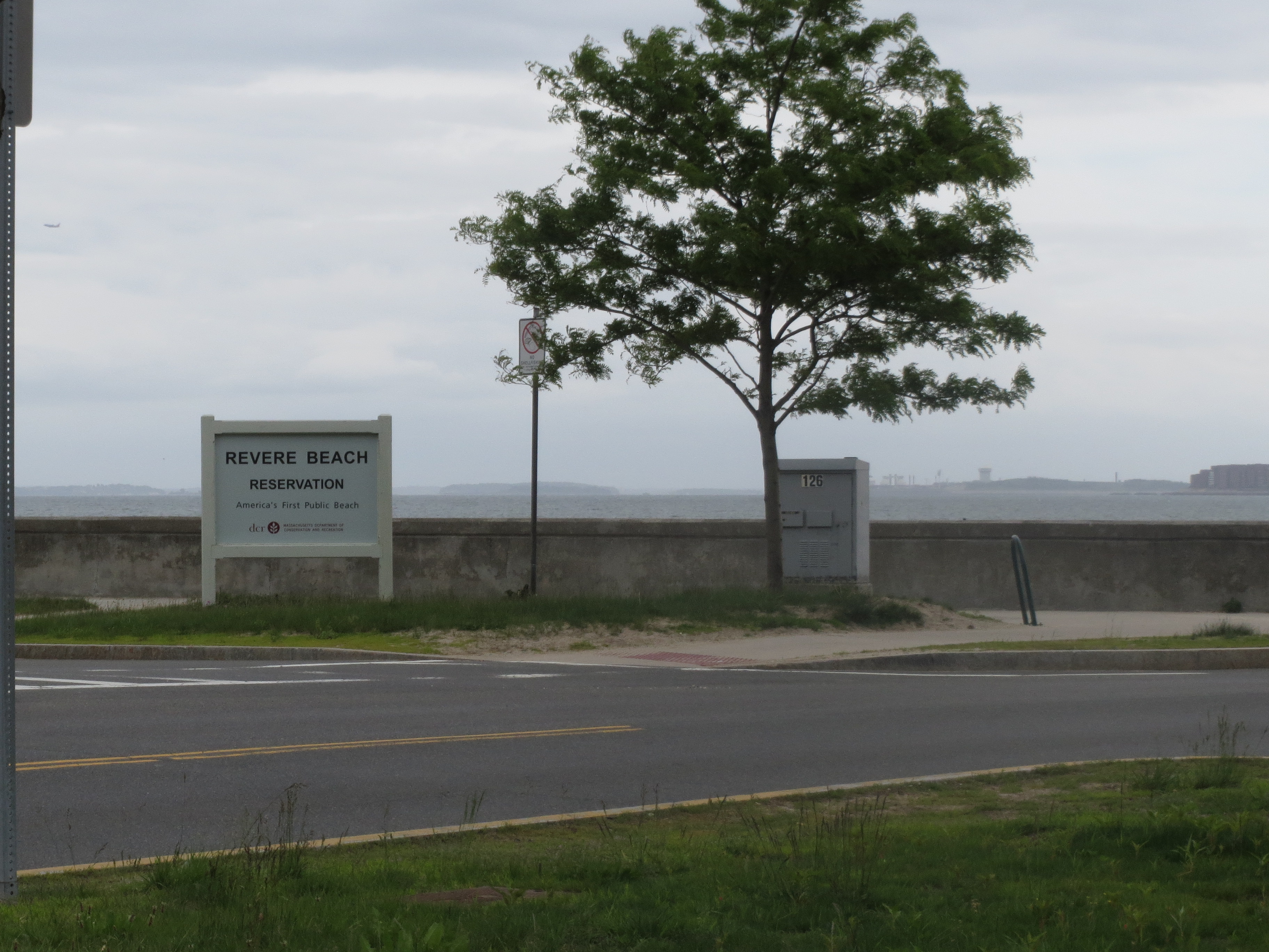
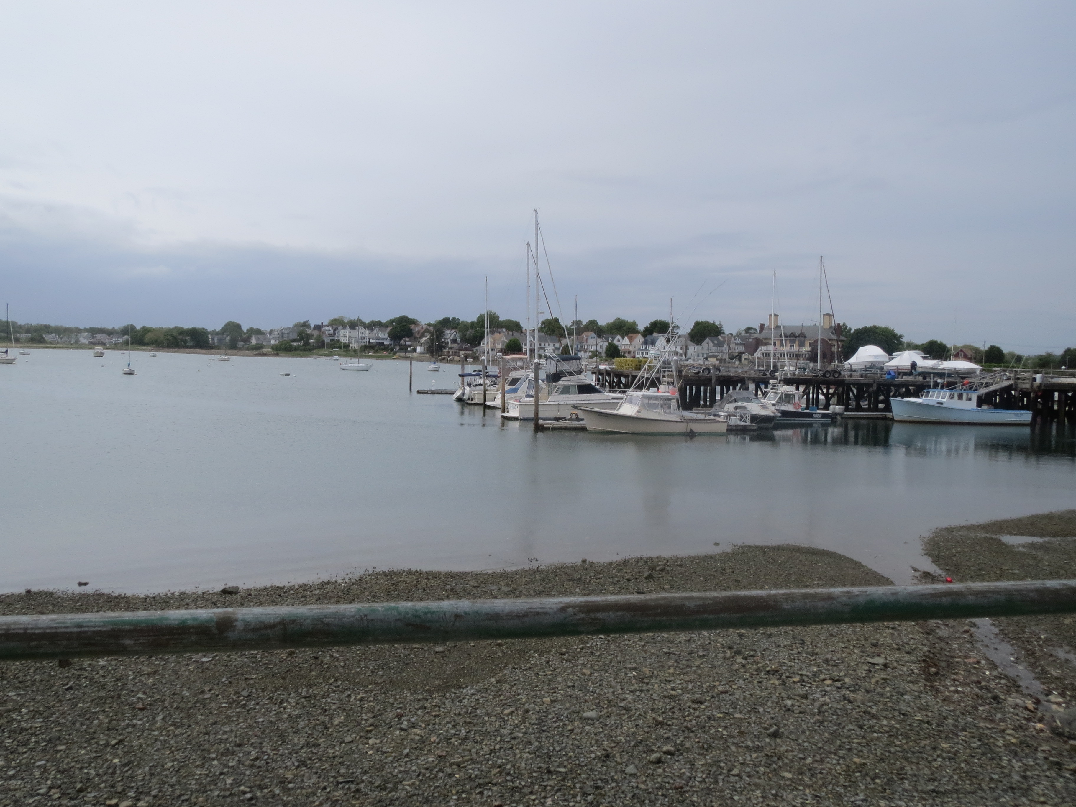
after a surprisingly nice ride down the Lynnway (yay tailwind! yay not too much traffic), i wound up at Revere Beach |
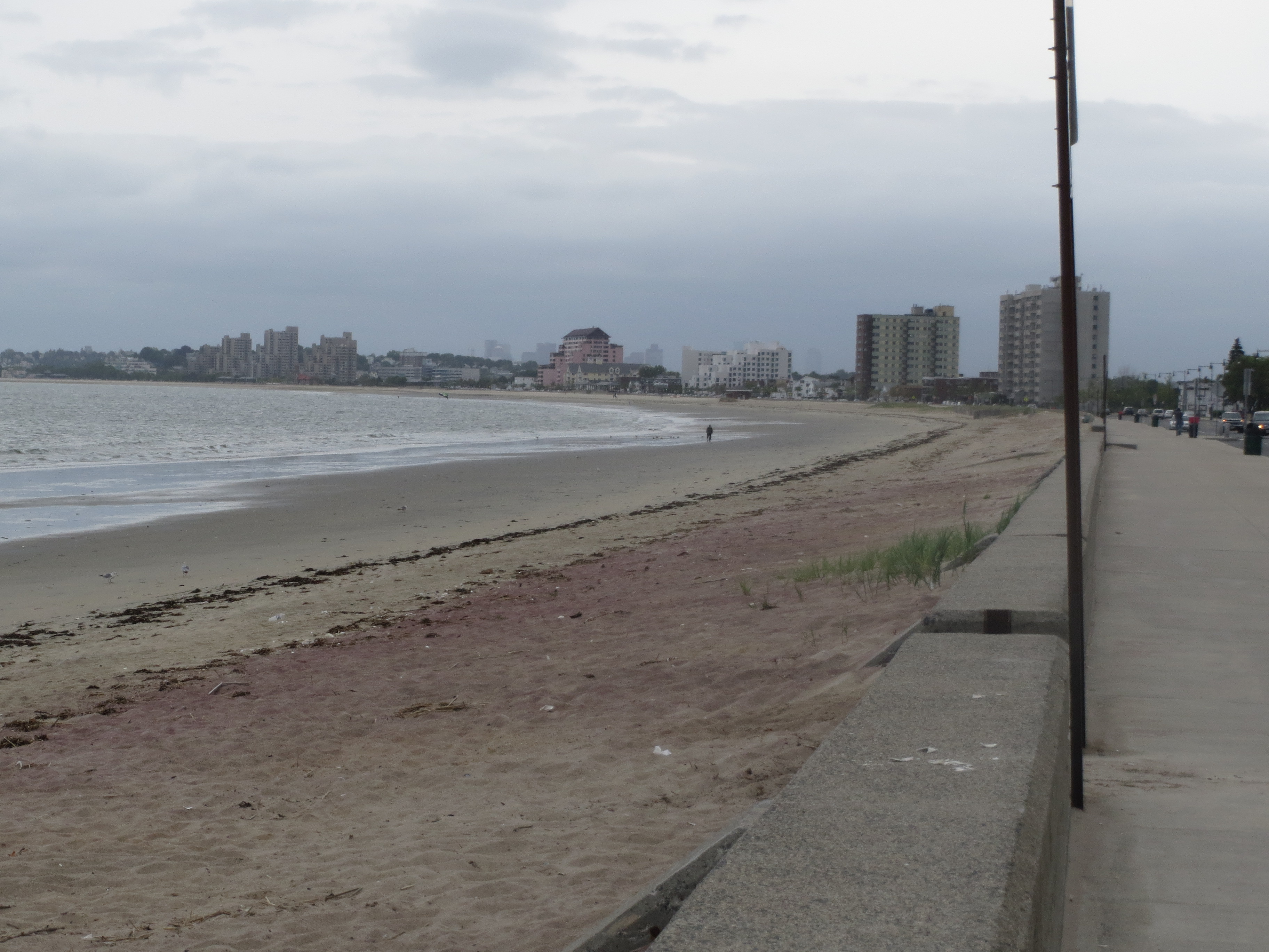
looking south along Revere Beach. i think those are the buildings i could see from Nahant |
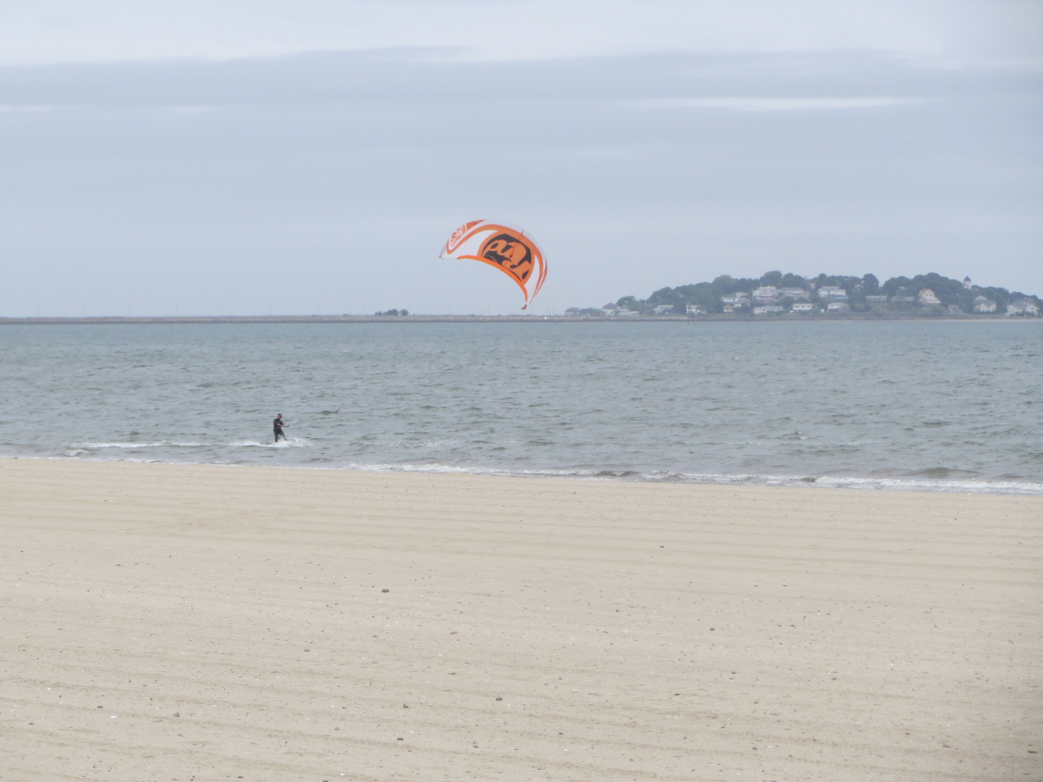
looking east from Revere Beach. the thing that isn't a kitesurfer is Nahant again |
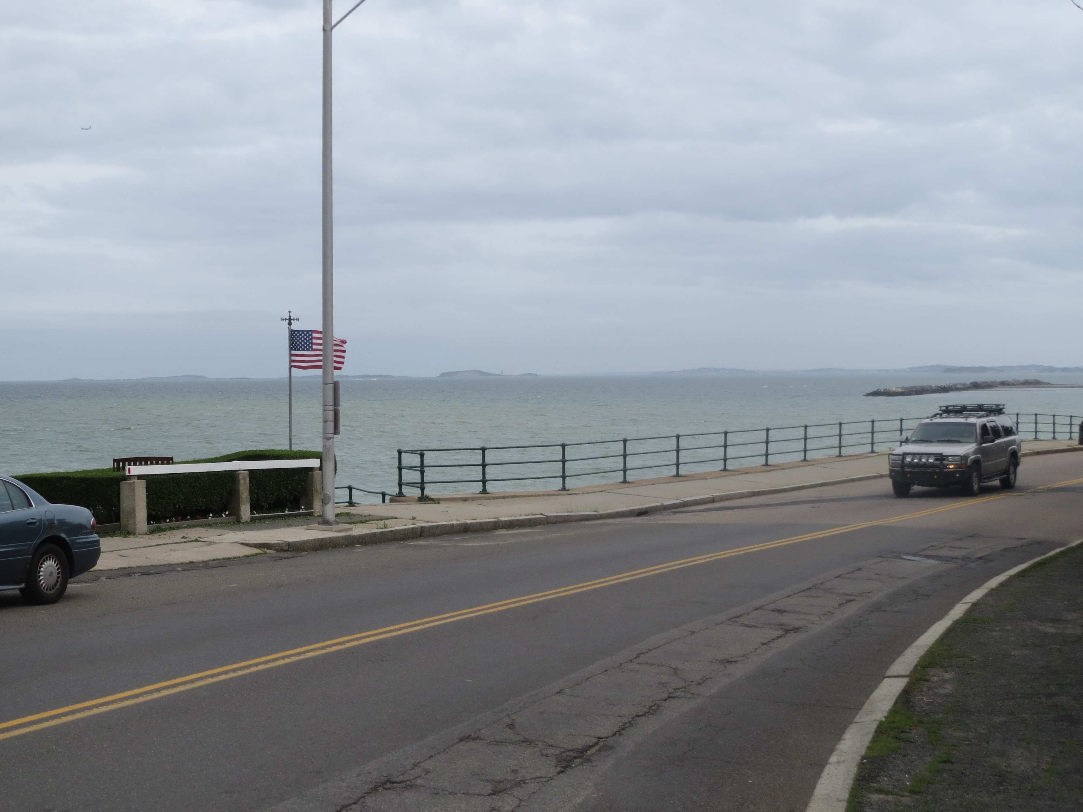
harbor islands, seen from Winthrop Pkwy |
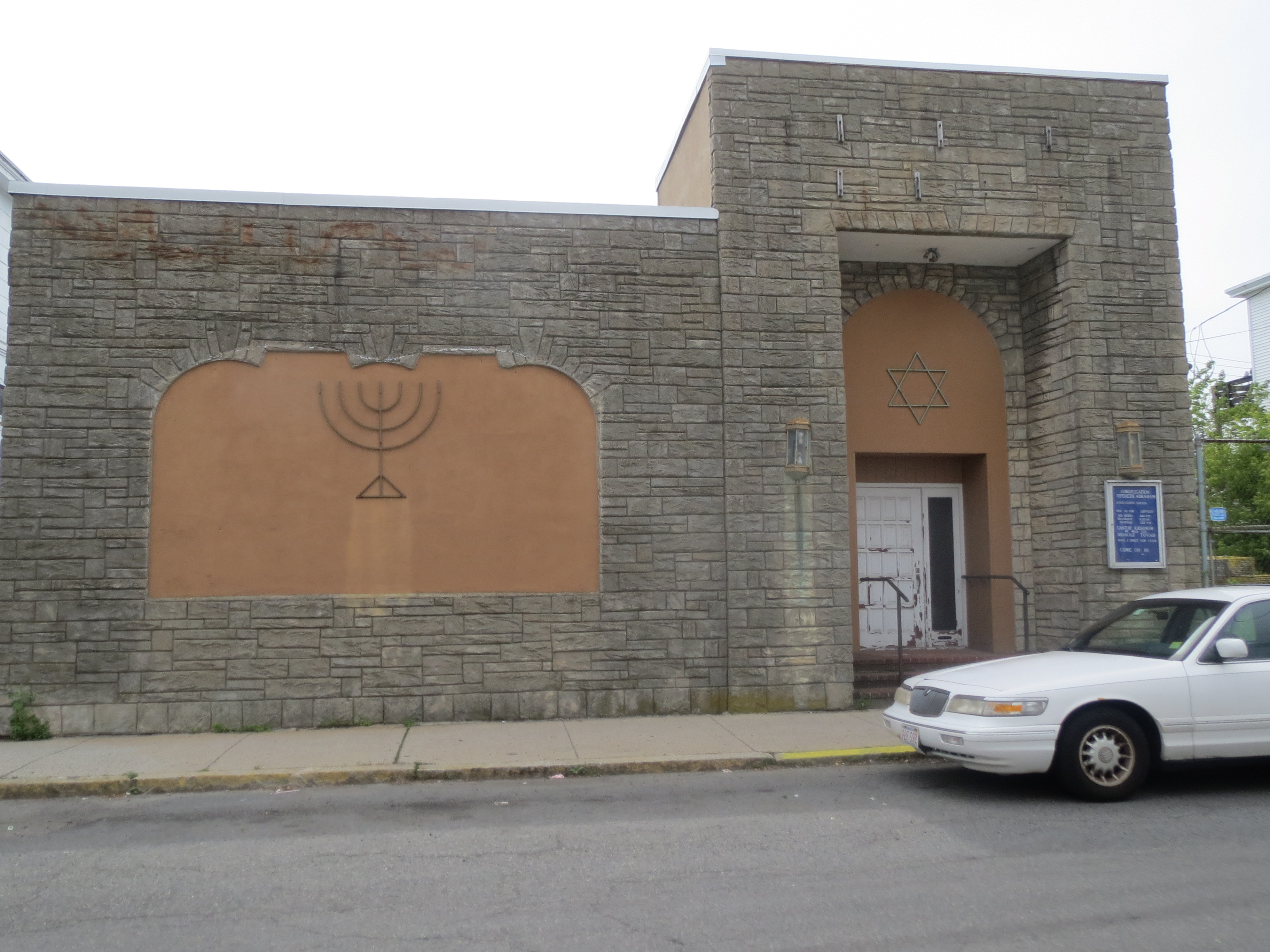
i was intrigued by the facade on this synagogue in Shirley... |
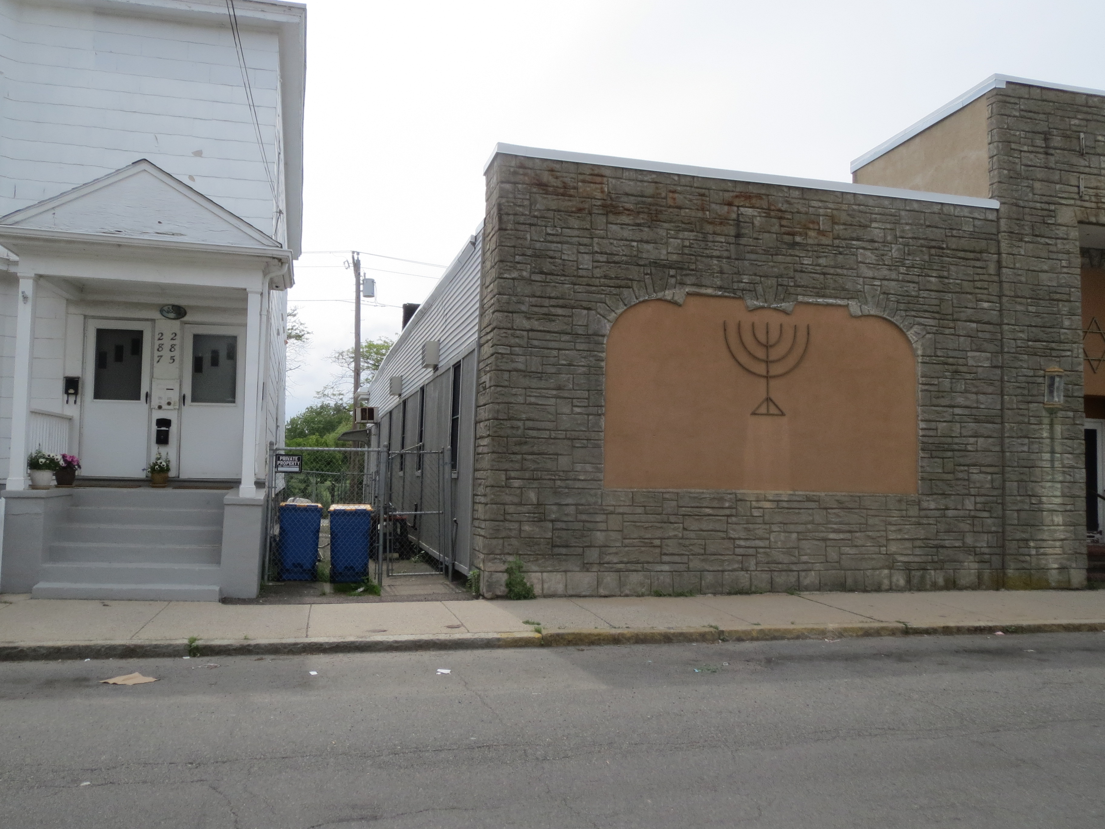
...then i stopped to look for a cornerstone and realised it's literally a facade --- the rest of the building is covered in vinyl siding |
looking west en route to Deer Island |
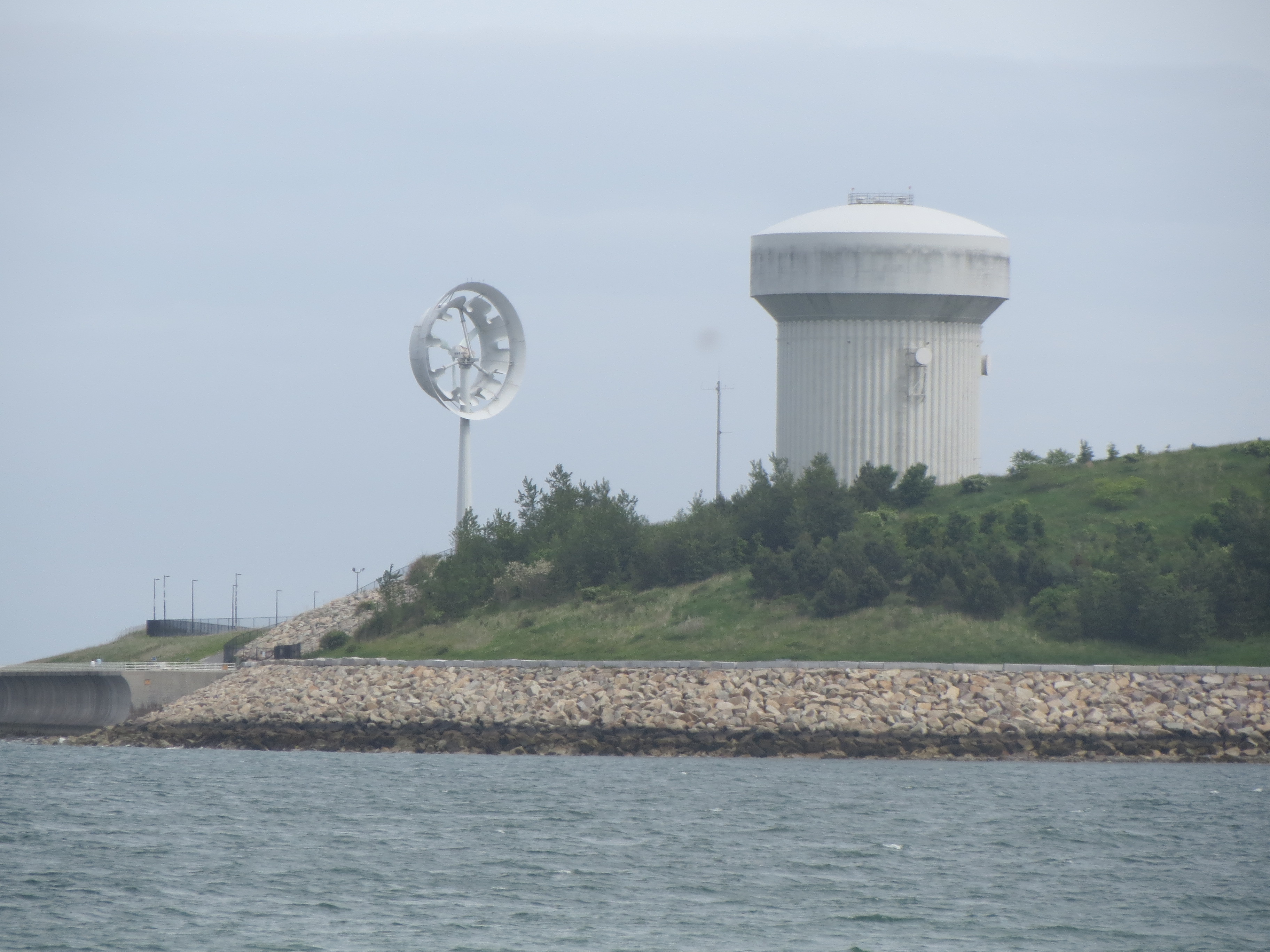
first view of the wind turbine at the end of Deer Island |
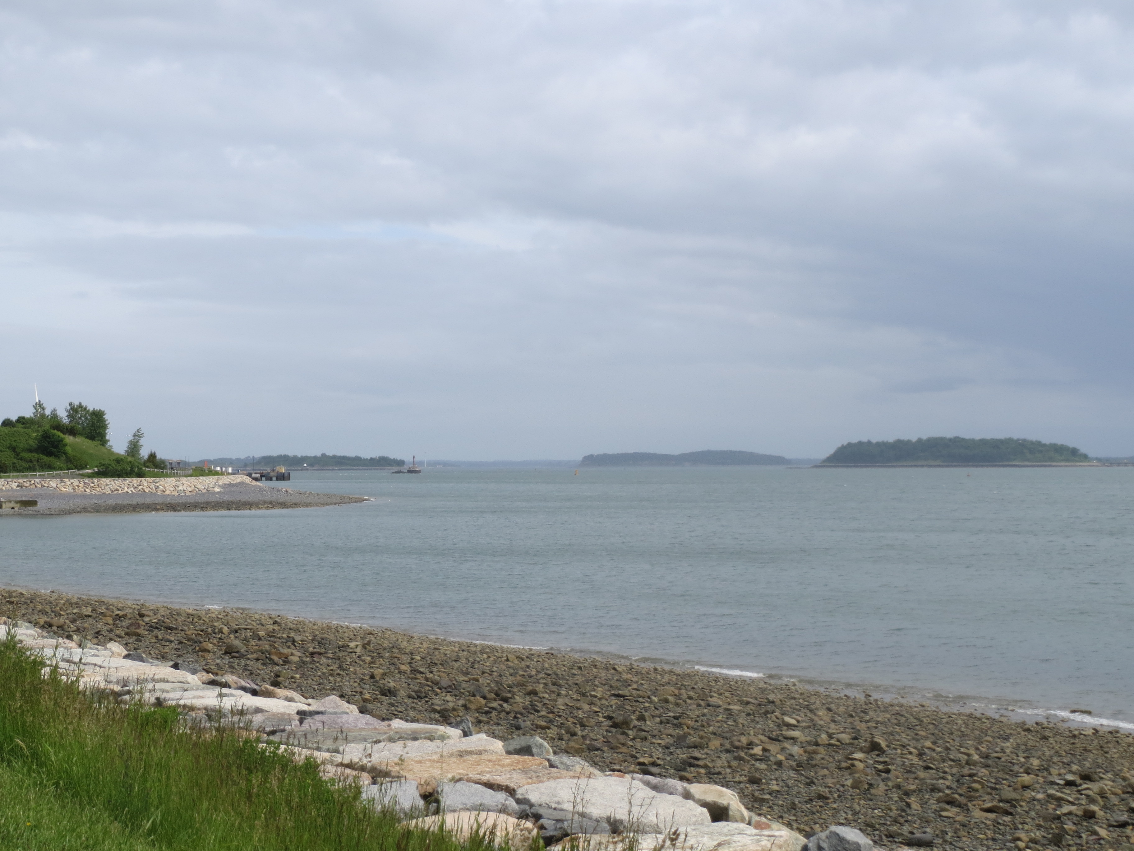
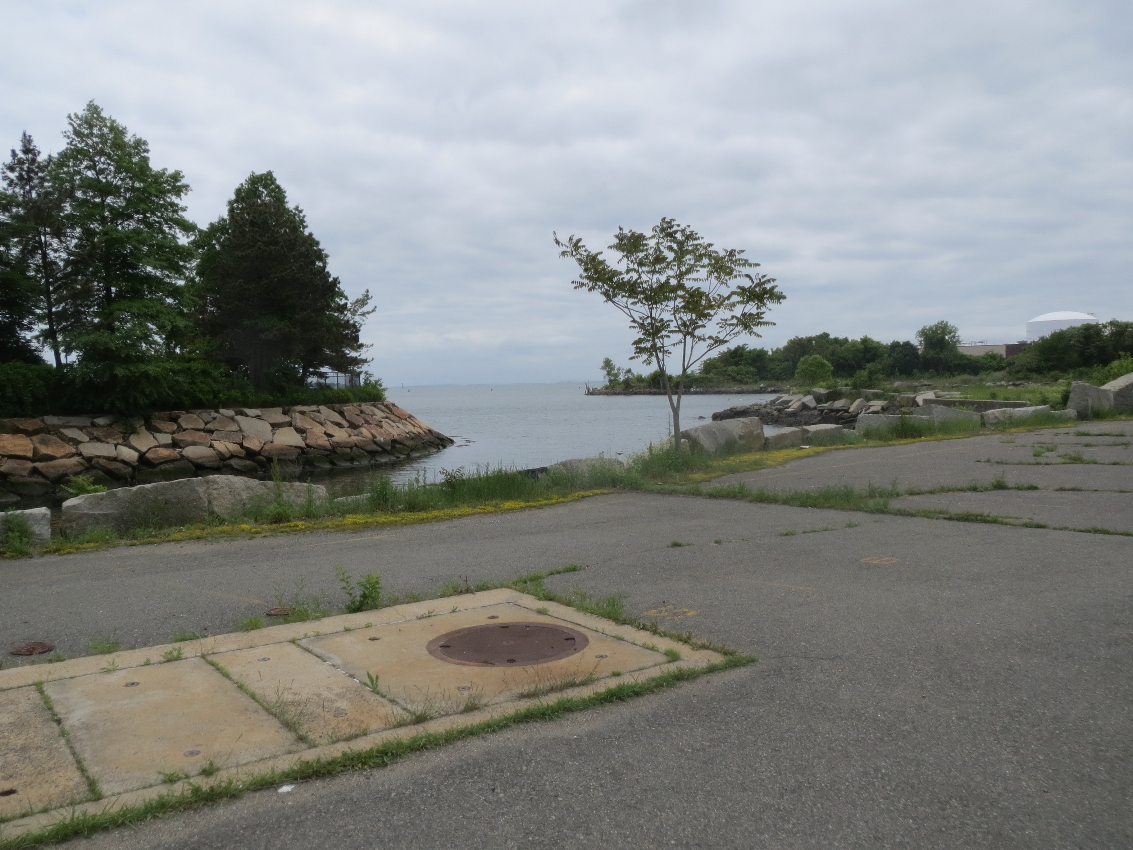
looking east along the south edge of Deer Island |
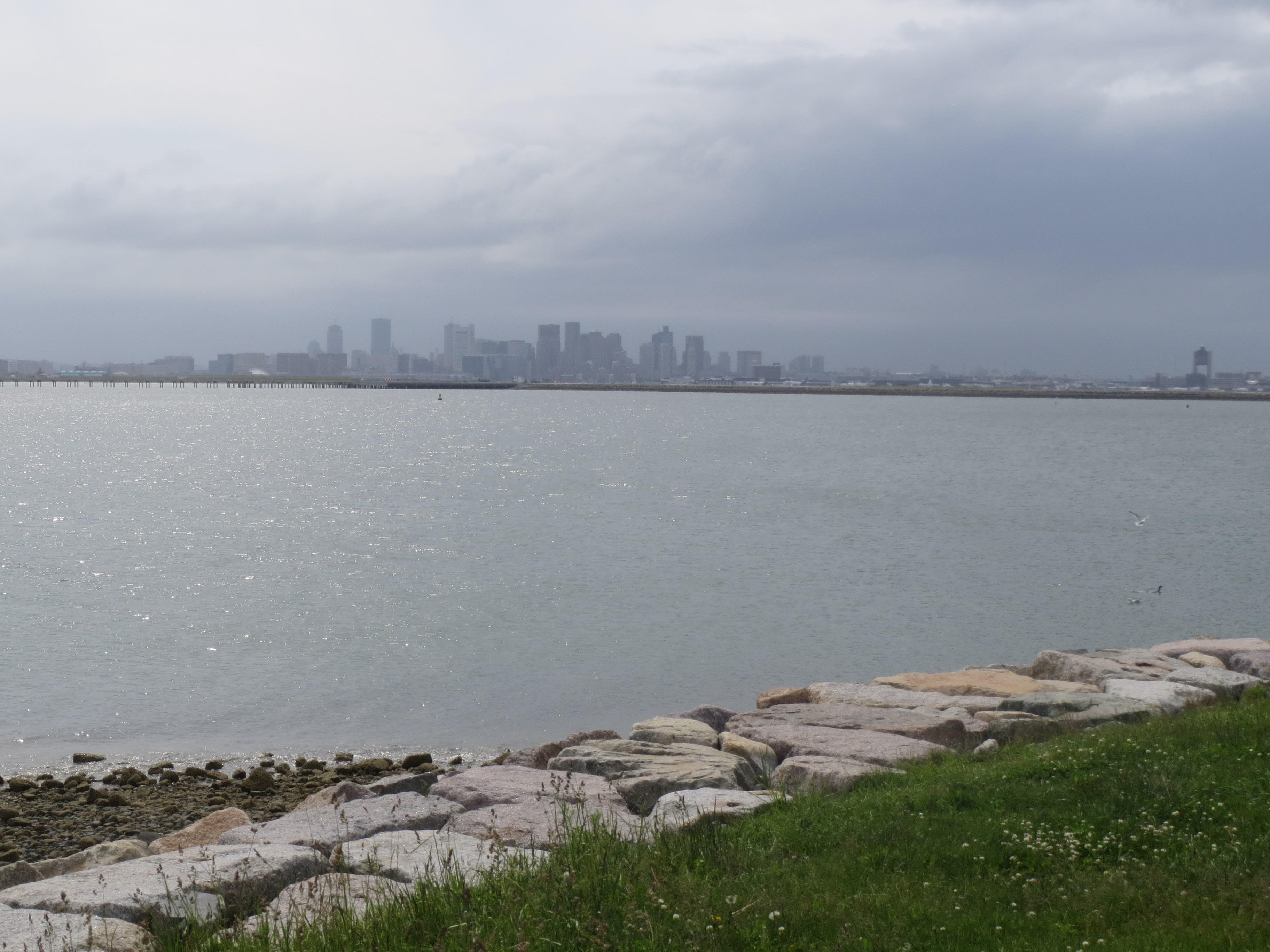
downtown, seen from Deer Island. it's very foggy, but i think that blueish building on the left edge is the aquarium |
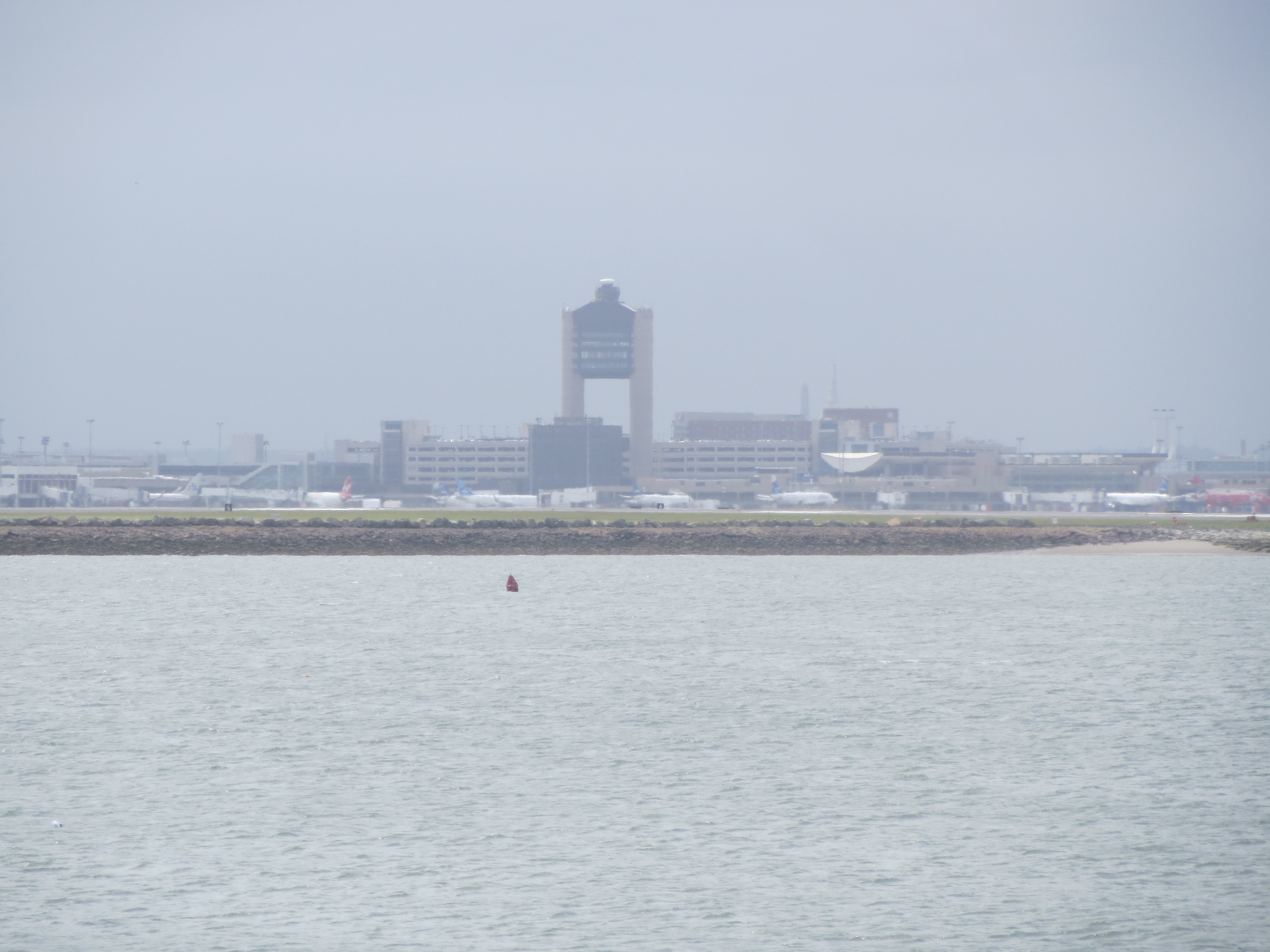
Deer Island is very close to the airport |
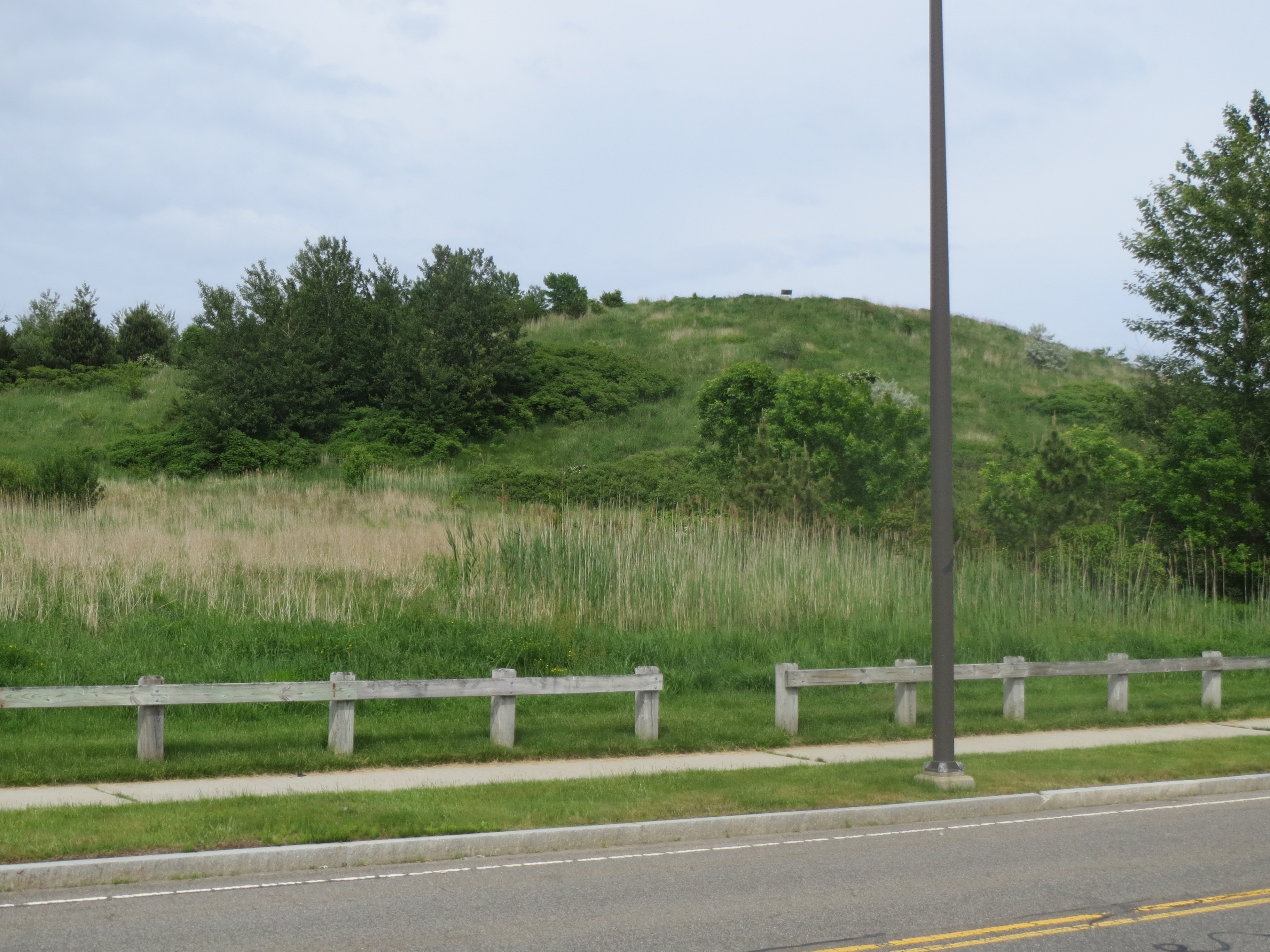
interior of Deer Island. it is all green and stuff |
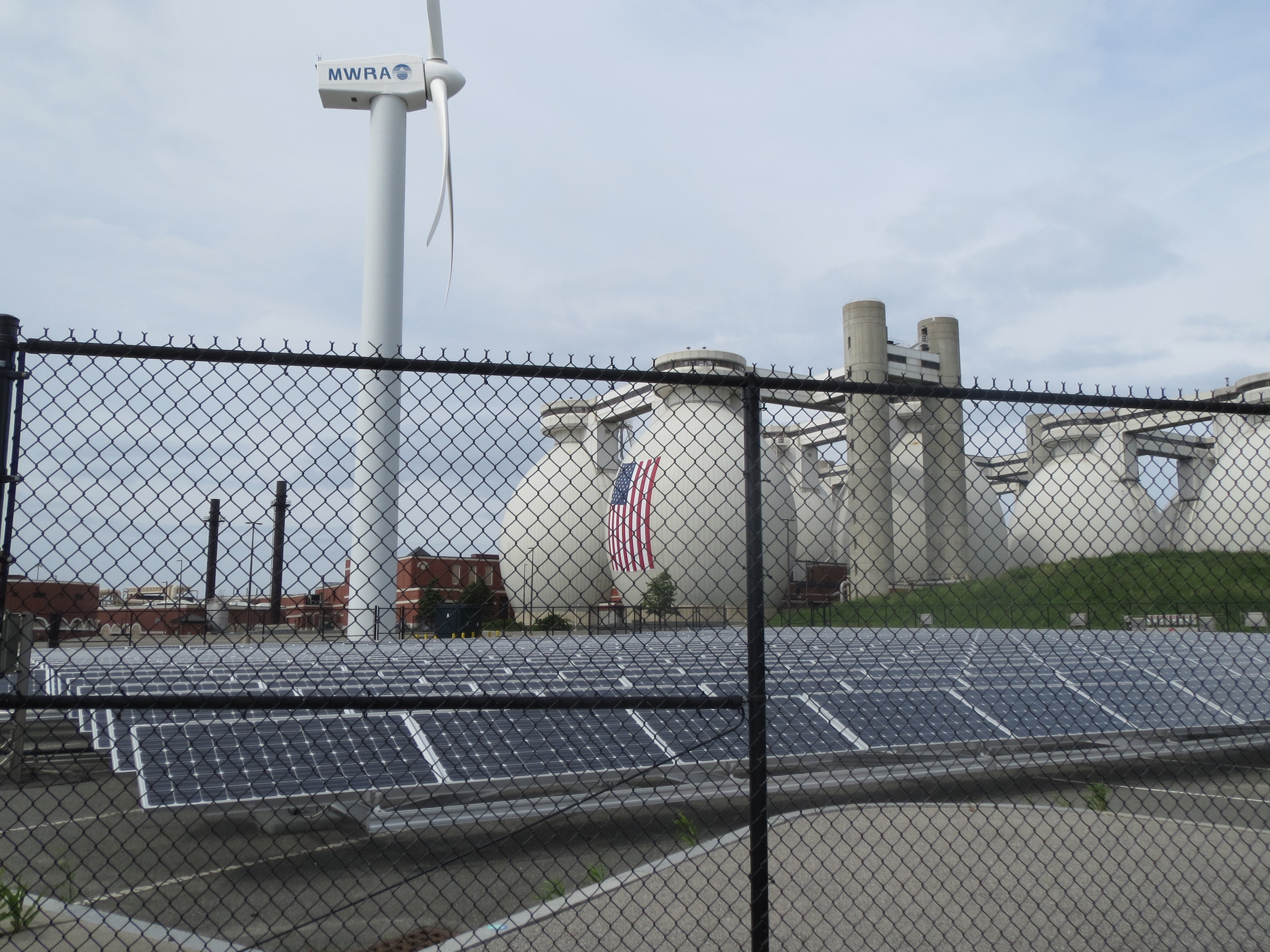
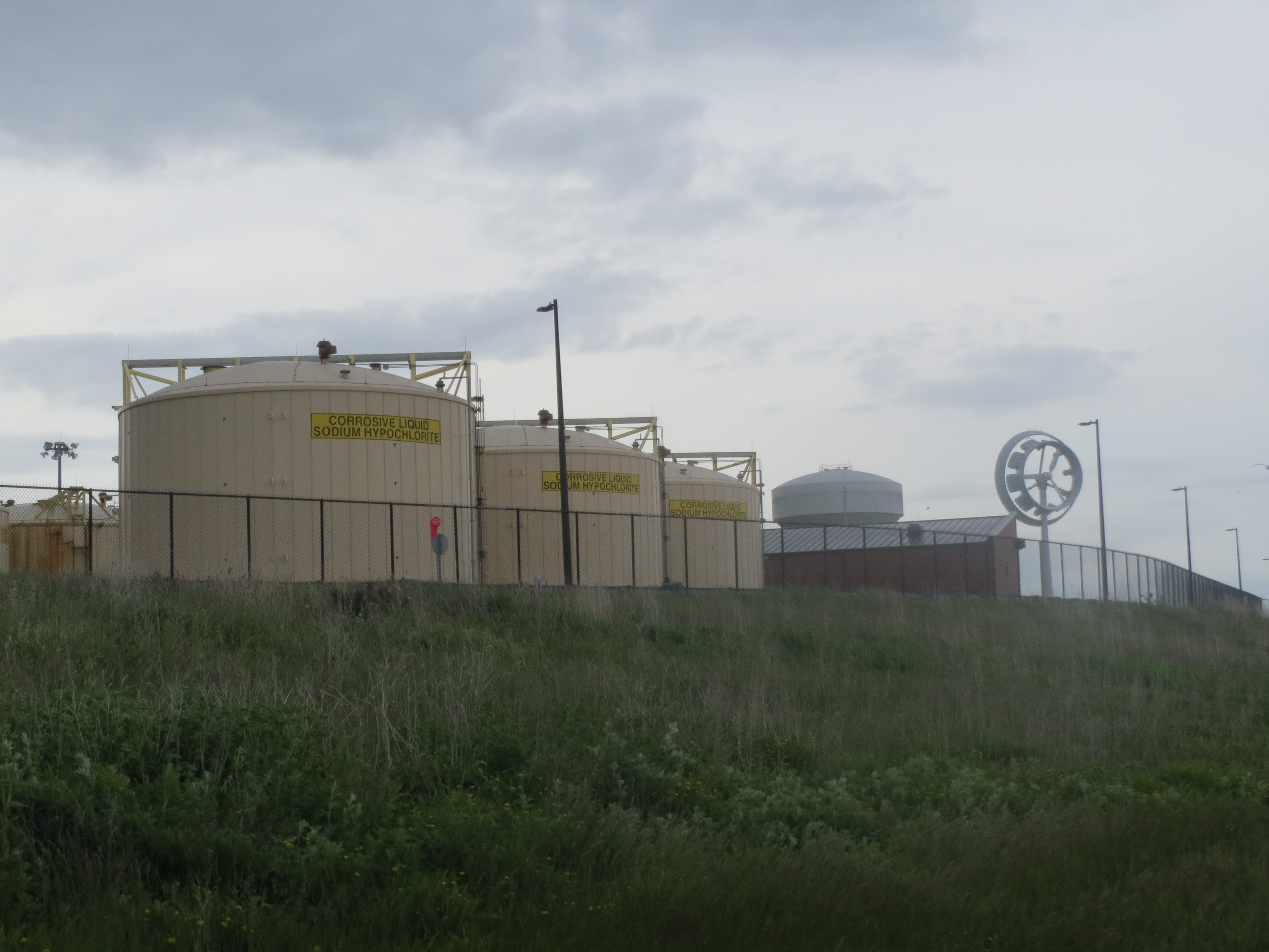
MWRA controls the elements |
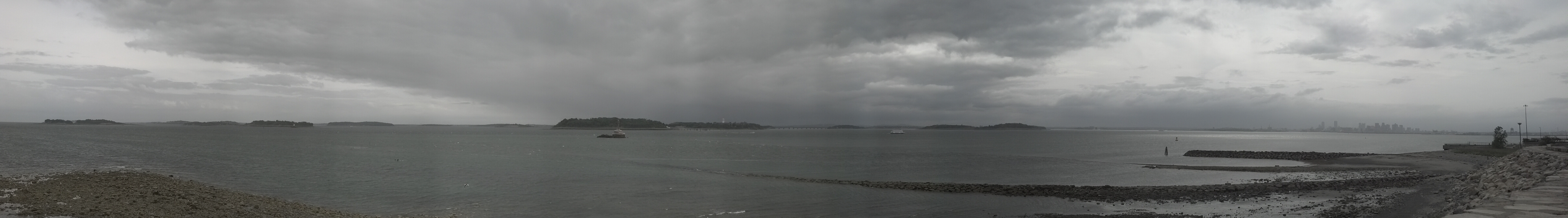
panorama south of Deer Island: several harbor islands, downtown, and the airport |
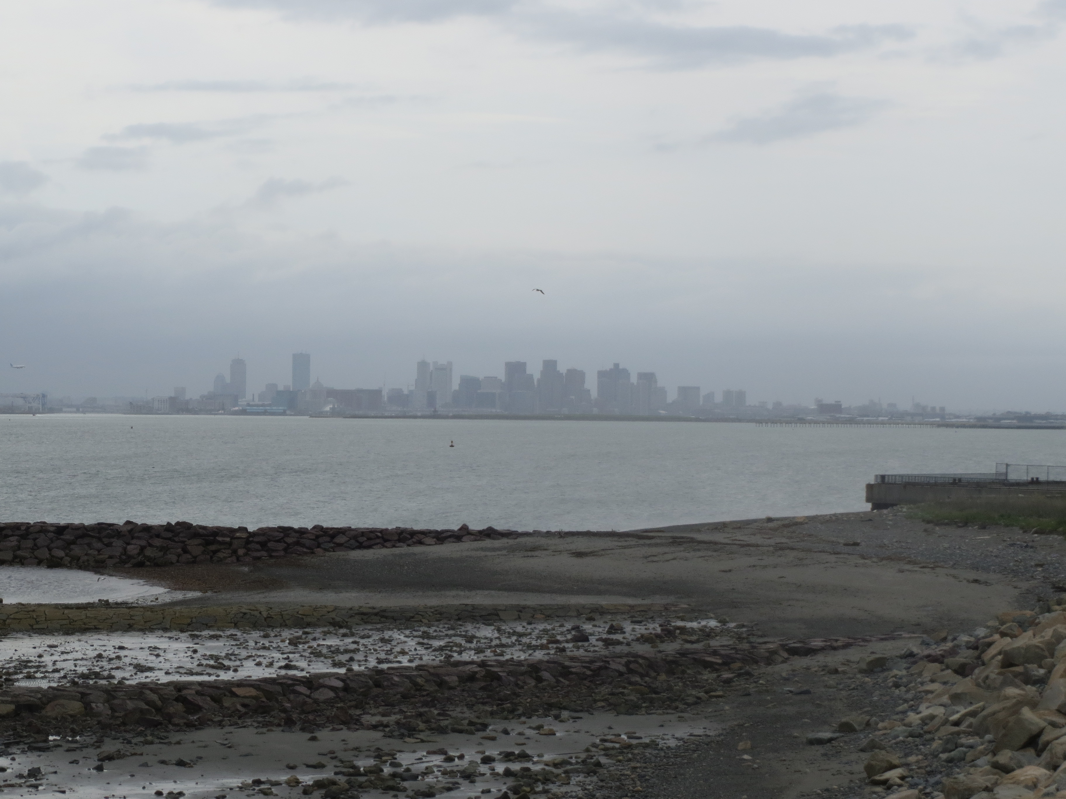
another downtown view, from the southeast corner of Deer Island this time |
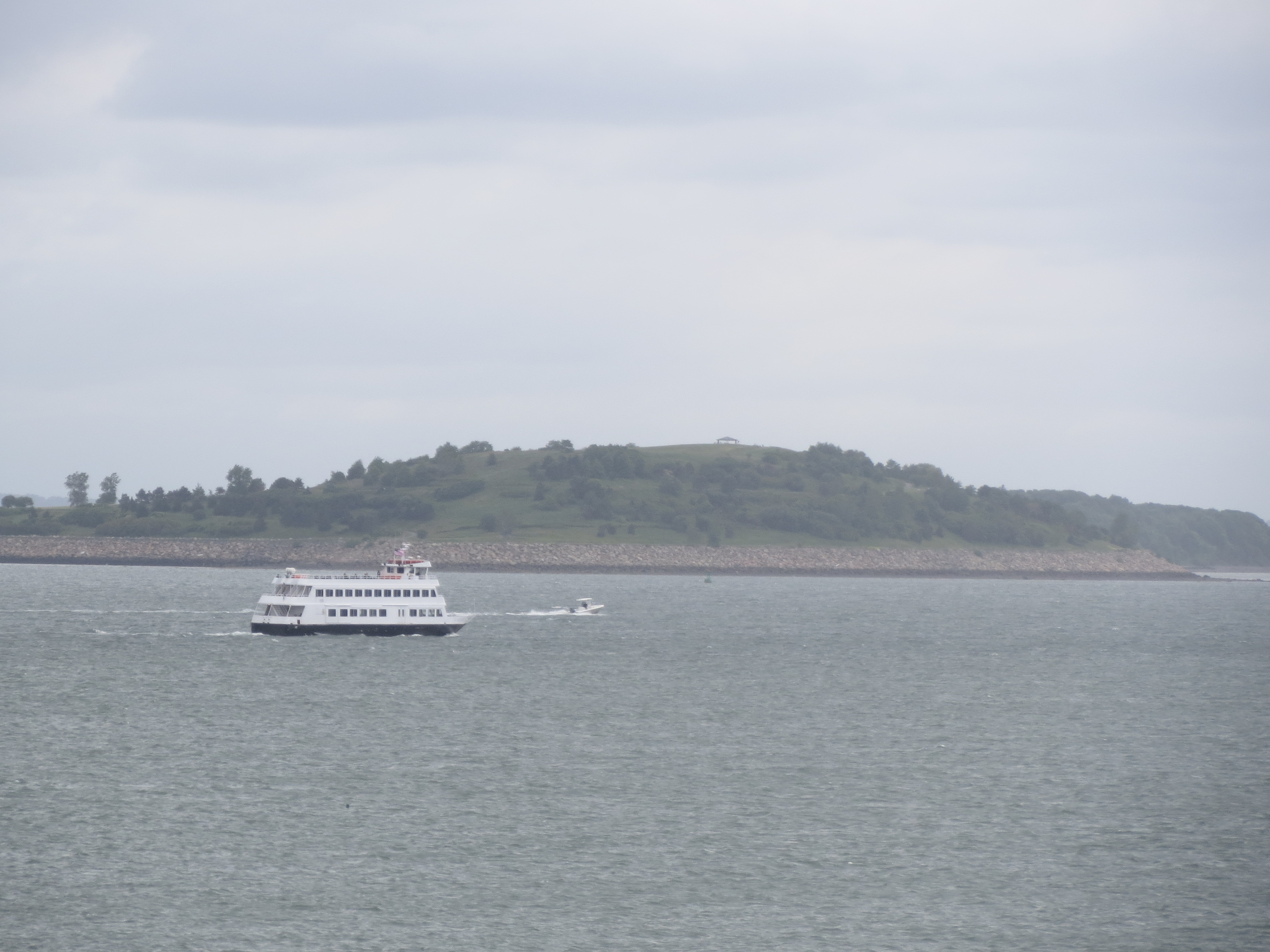
a boat, in front of what i think is Spectacle Island |
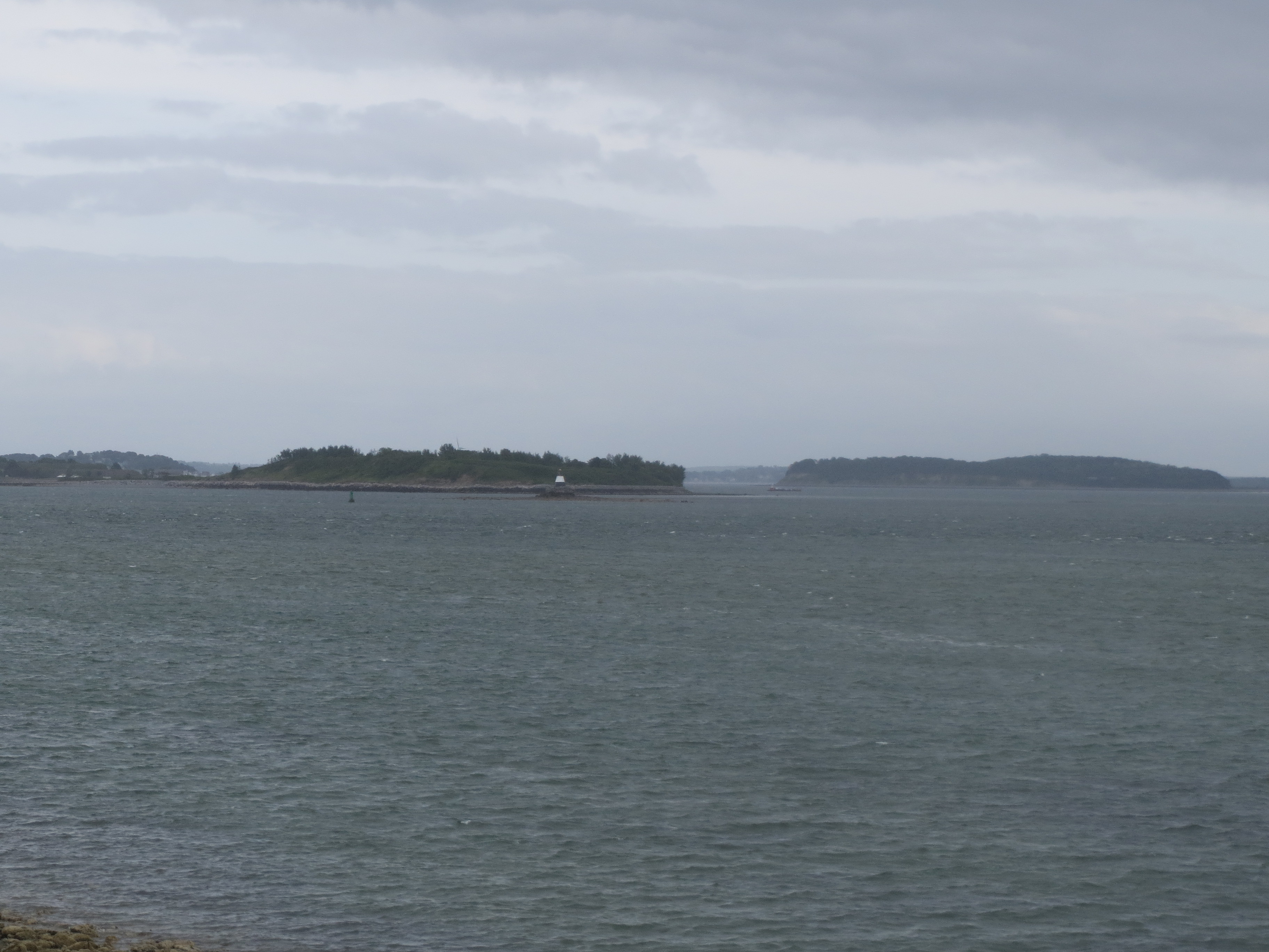
harbor islands southeast of Deer |
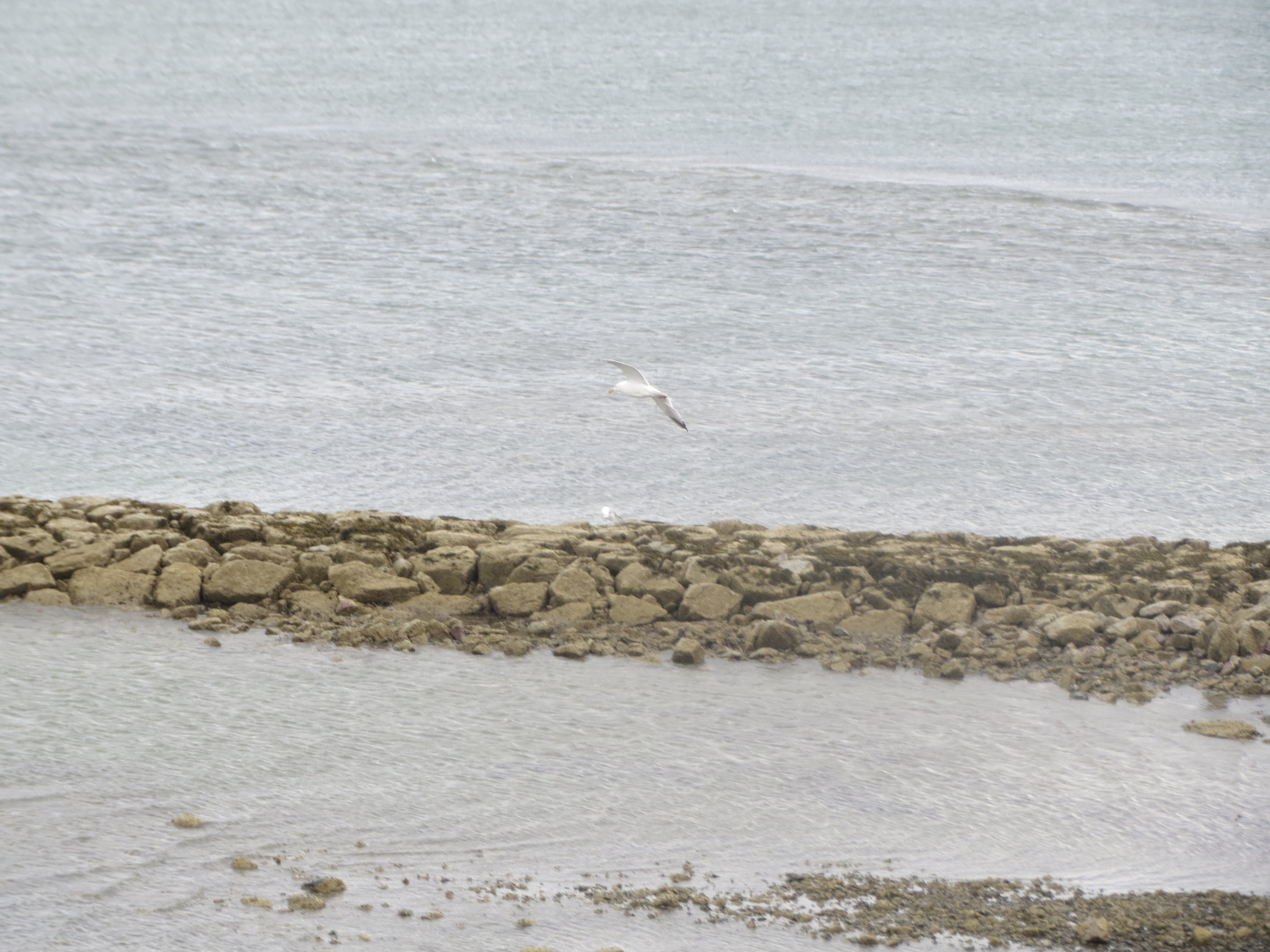
look i photographed a seagull. sort of |
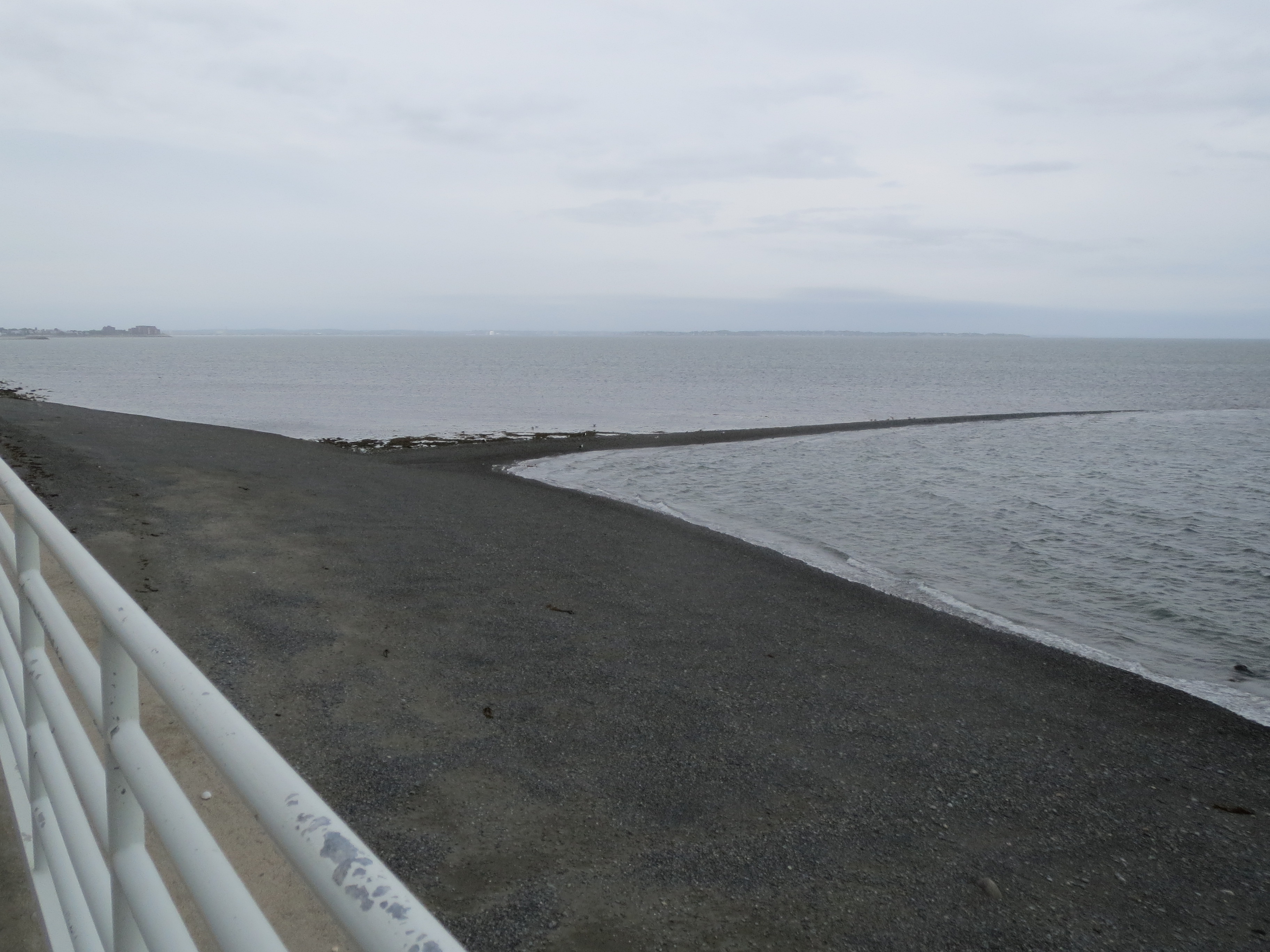
sandbar on the east side of Deer Island |
good to know |
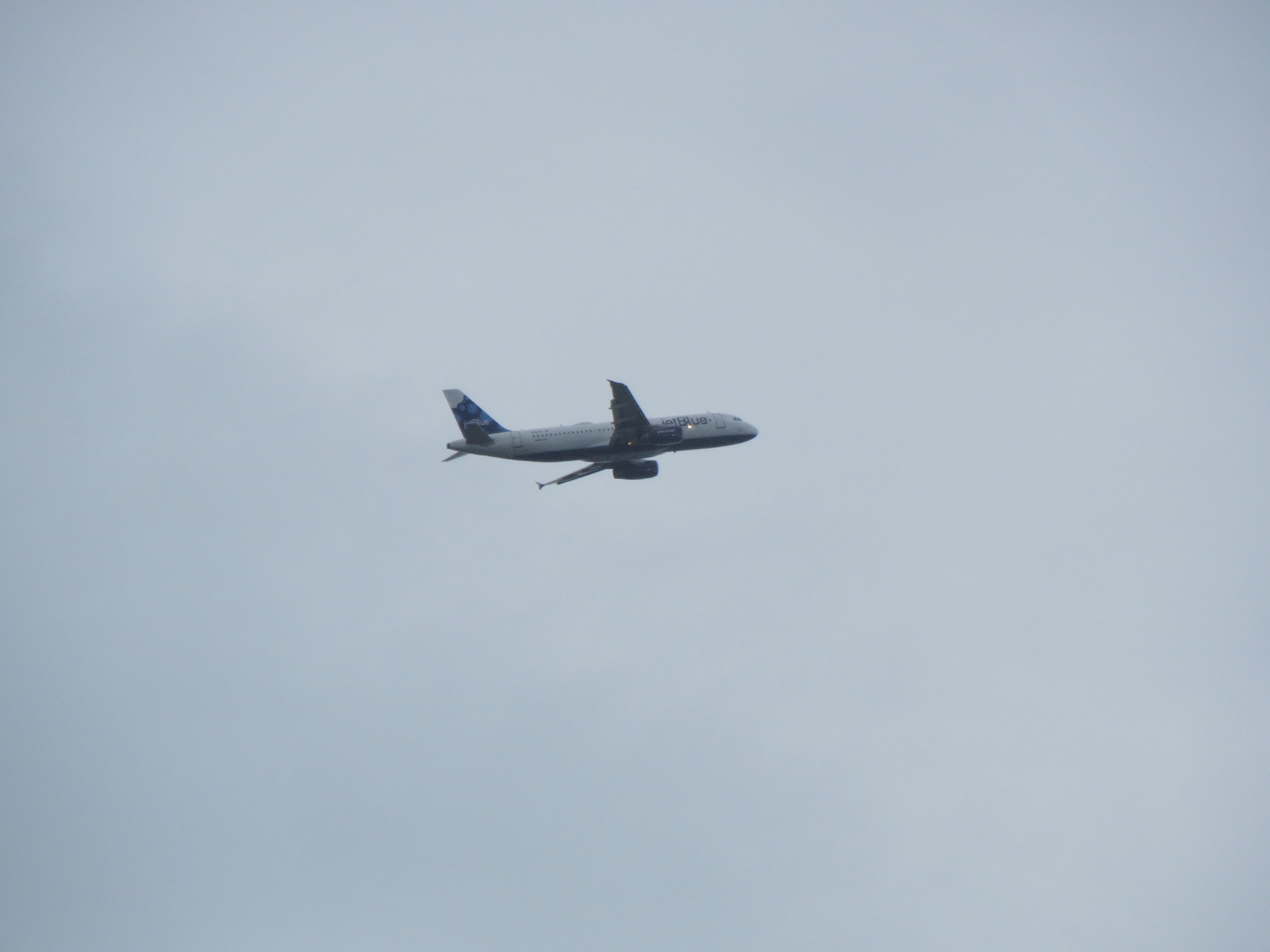
Deer Island is very close to the airport |
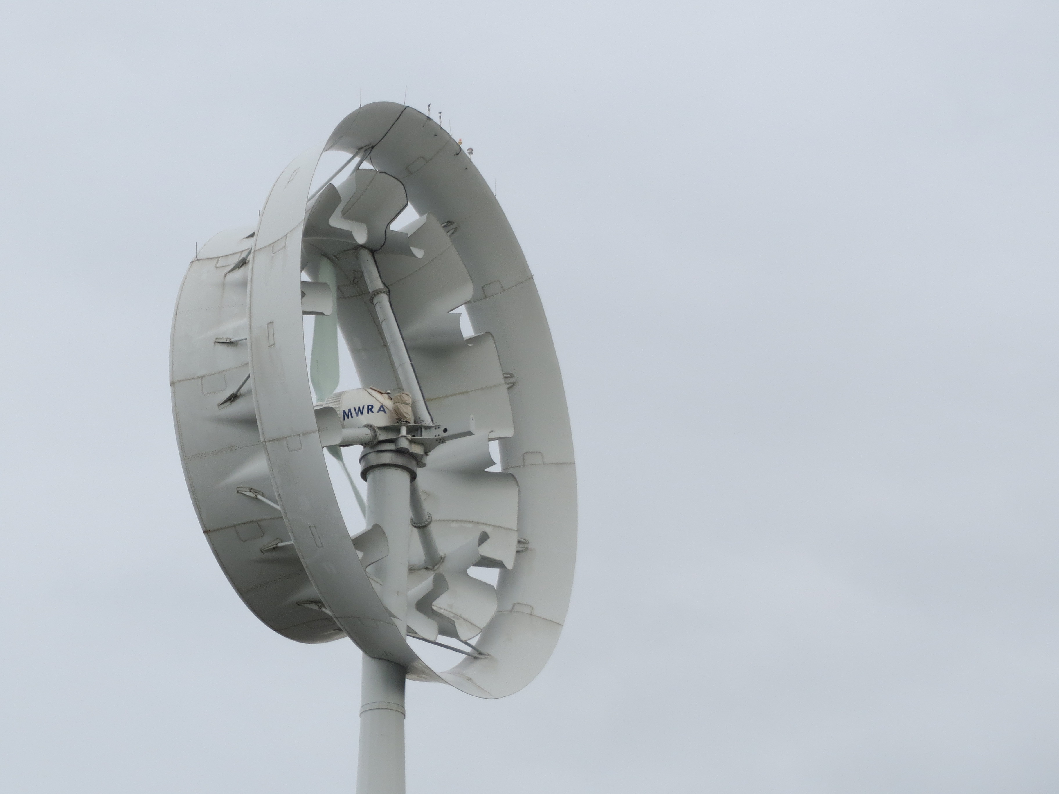
closeup of the wind turbine |
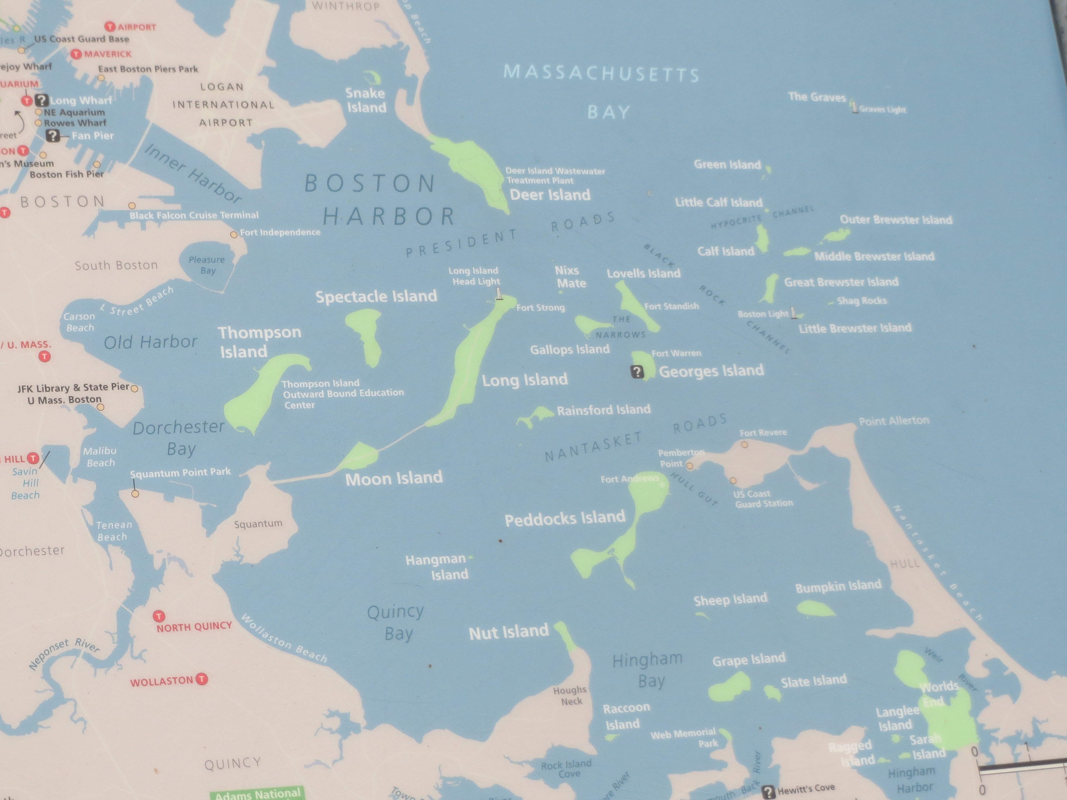
for your convenience, a map of the harbor islands |
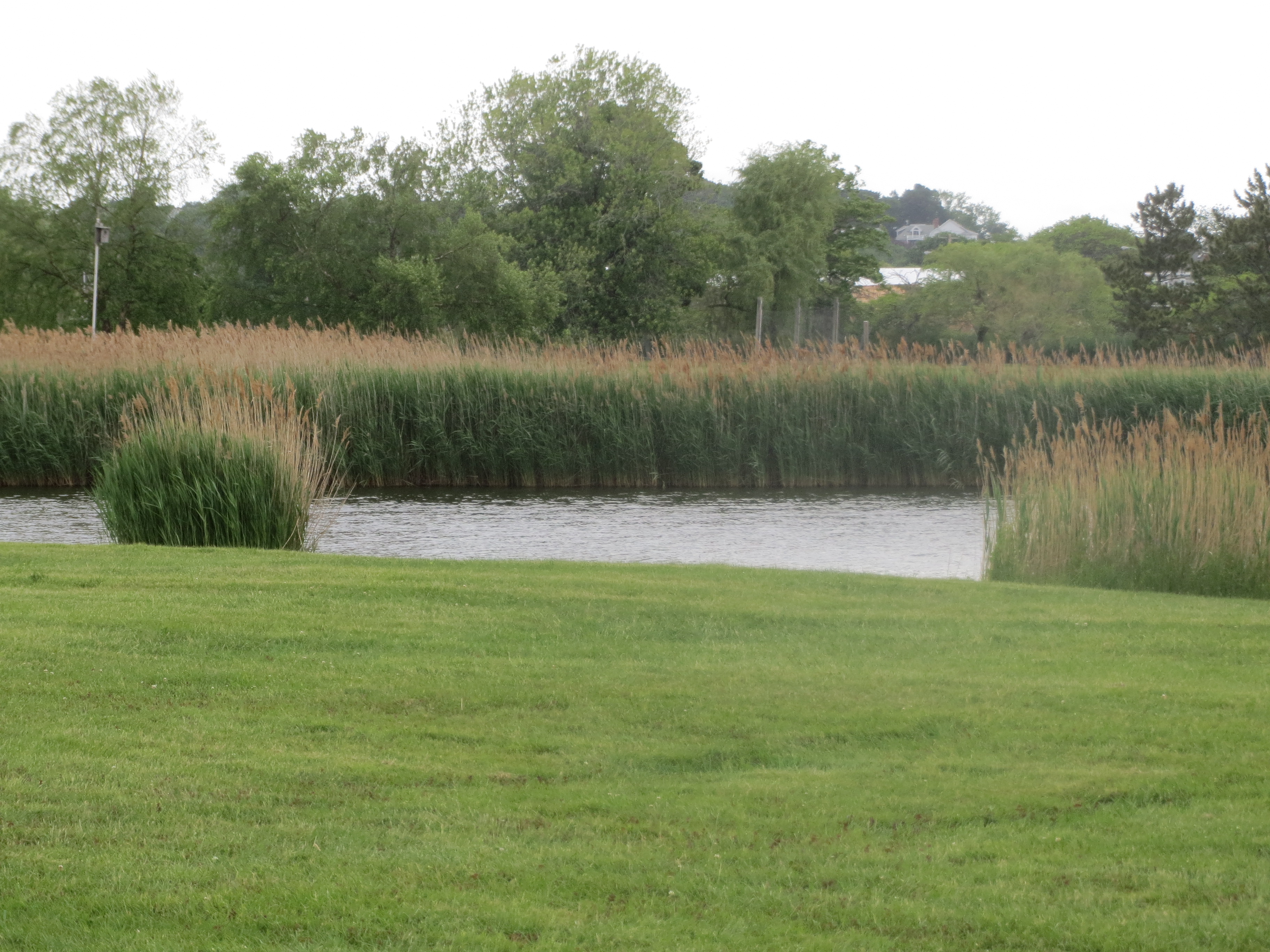
when coming down Winthrop Pkwy, i kept seeing this marsh to the west, behind people's houses. Here i saw it from the south, while coming along Main St into Boston |
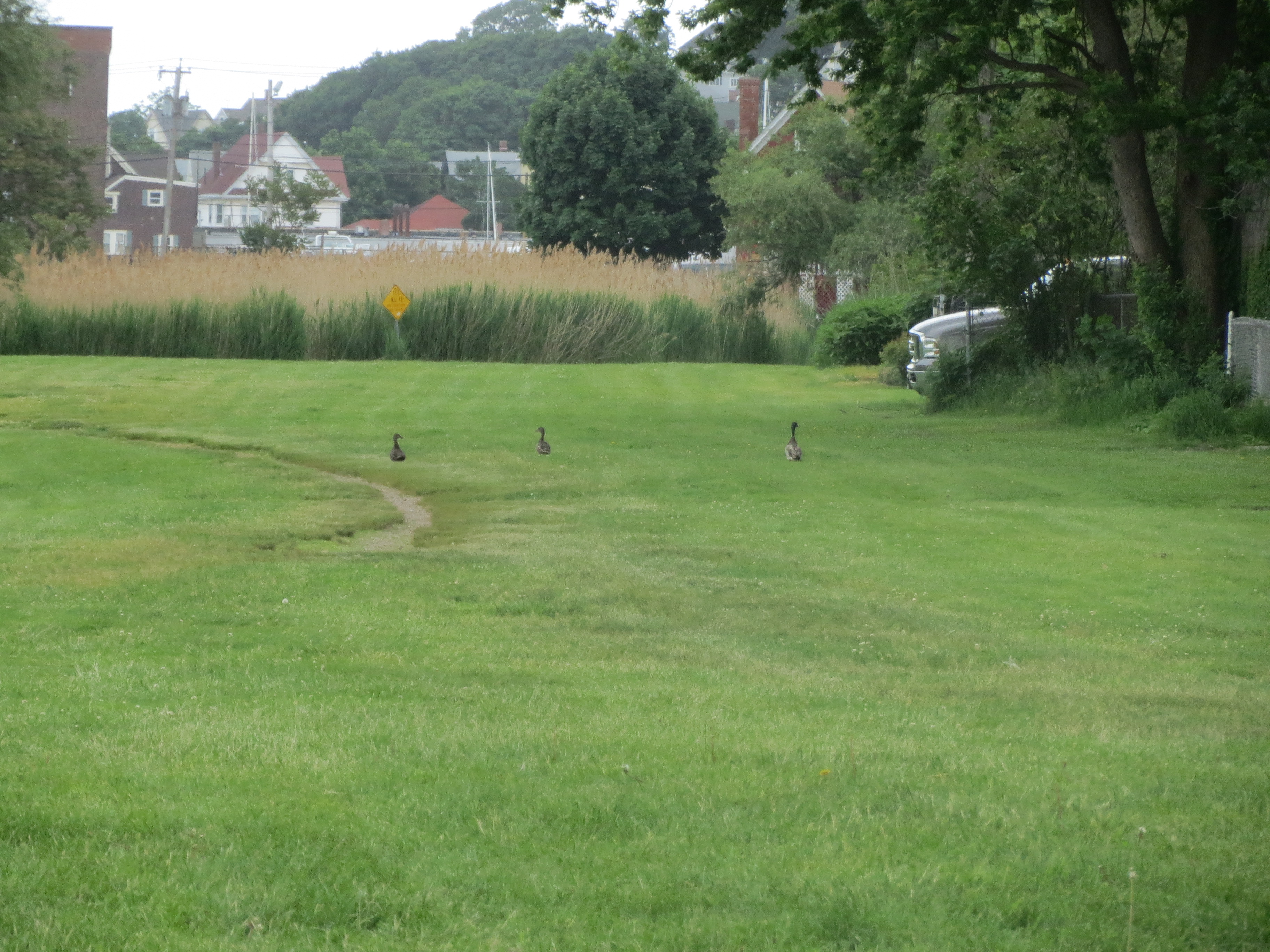
geese are a menace. look at them... menacing things. |
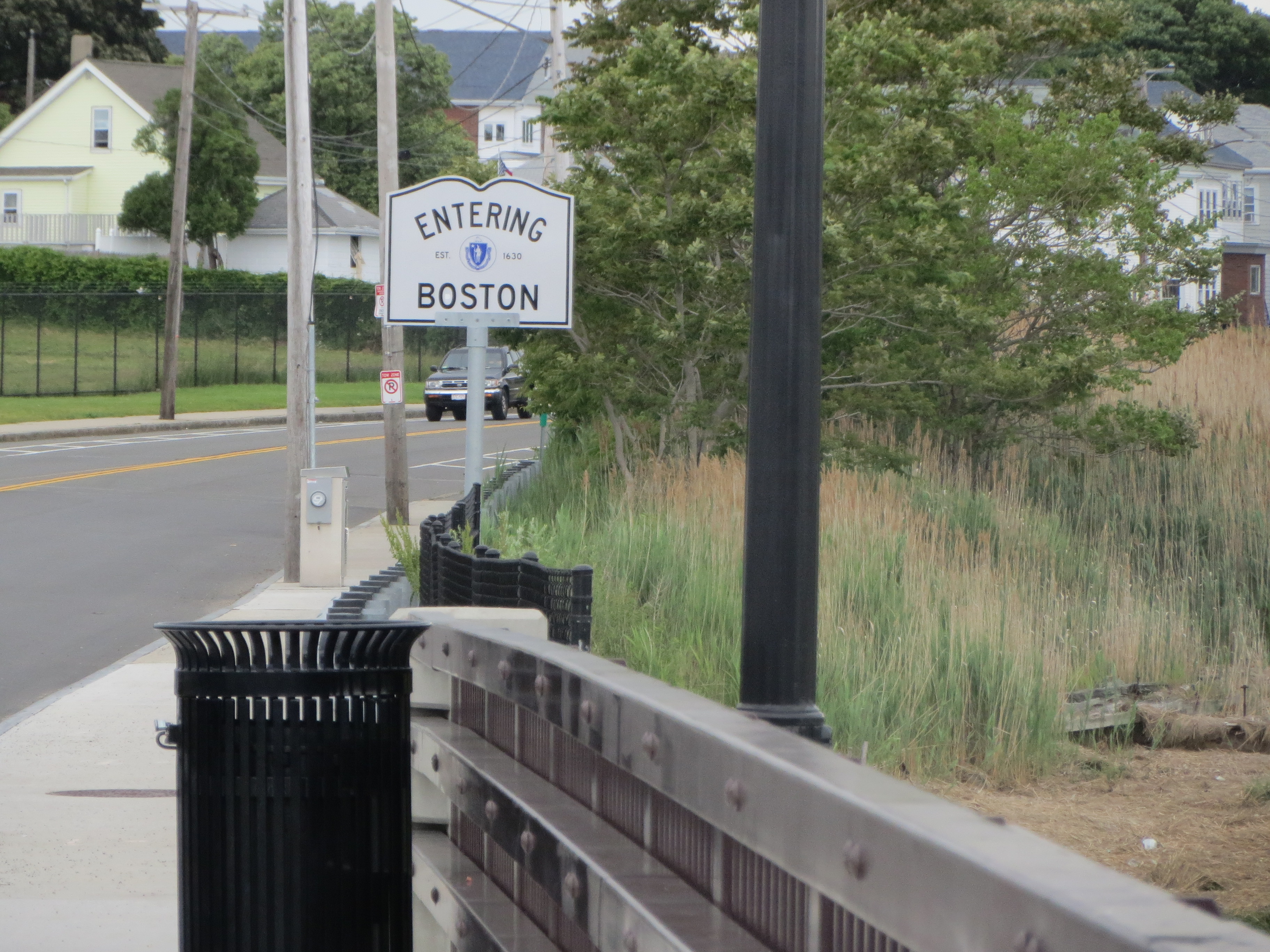
entering Boston across the Belle Isle inlet |
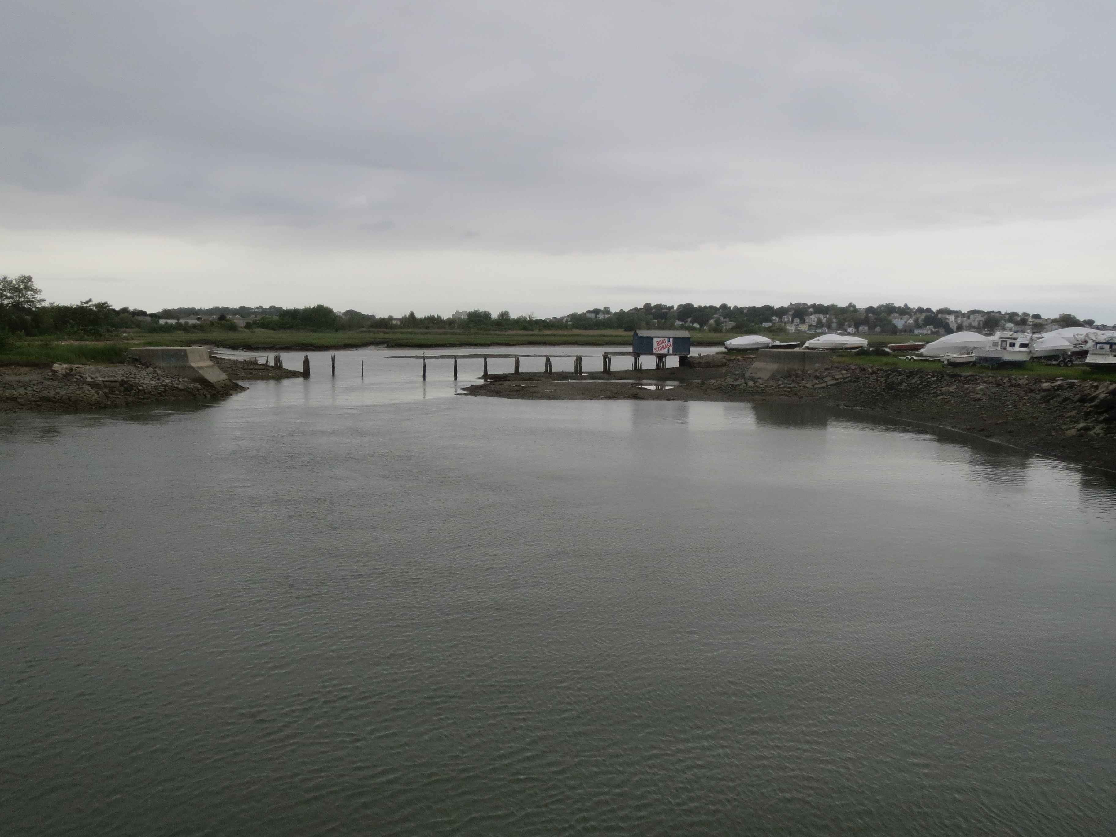
north into the Belle Isle inlet |
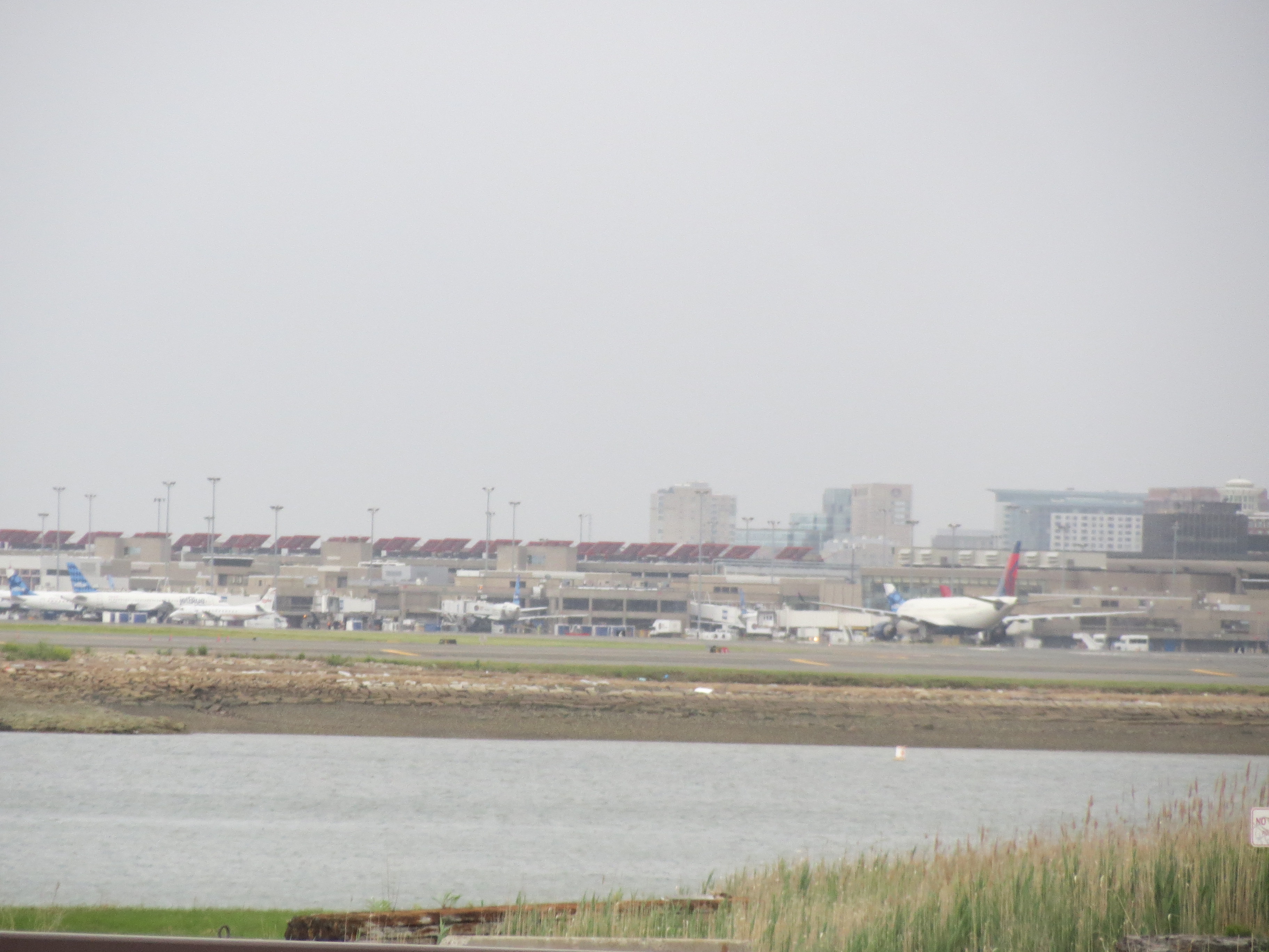
south across the Belle Isle inlet... it's the airport again |
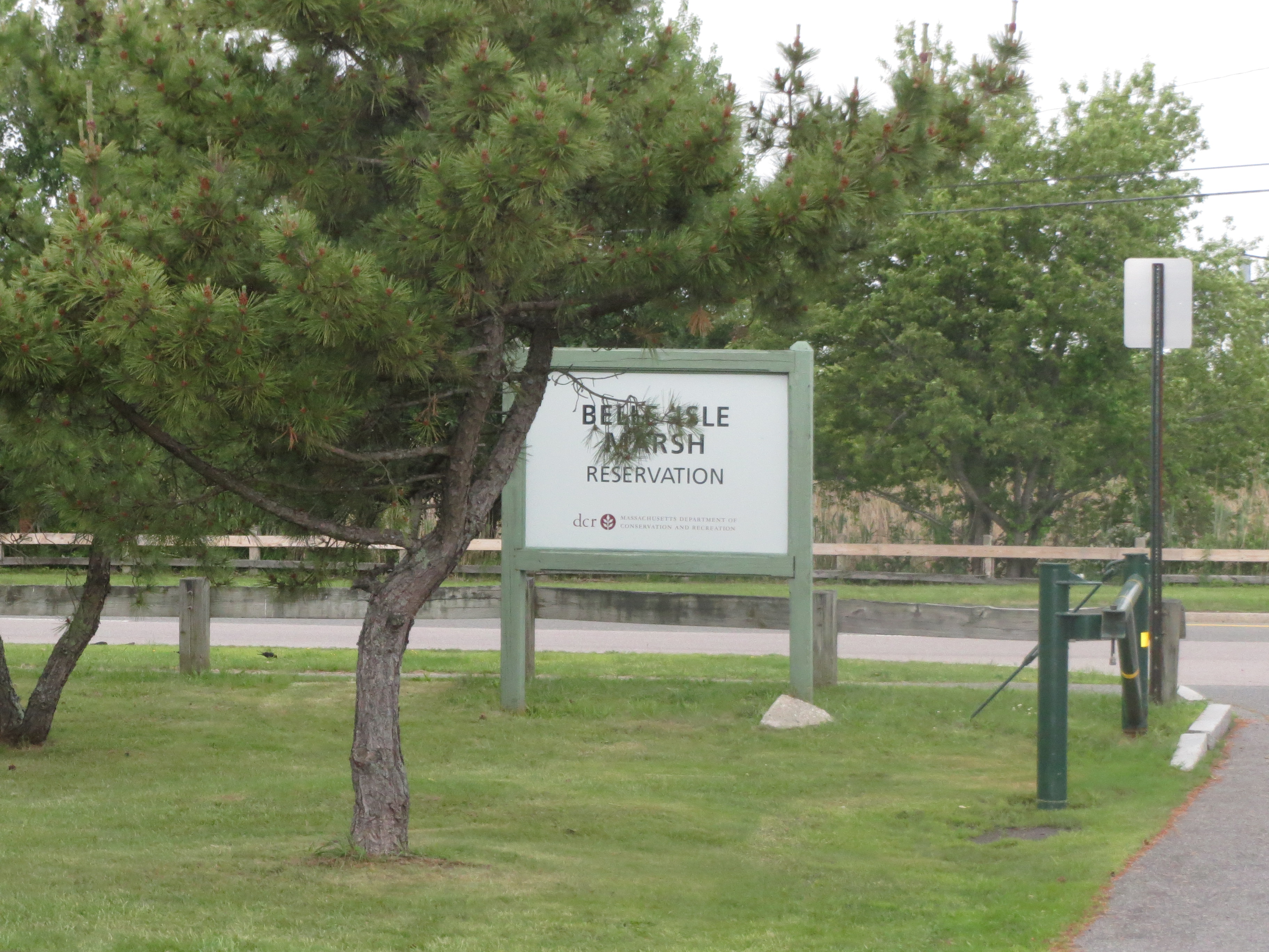
i ended the scenic part of the route by actually going into this Belle Isle Marsh i'd been circling around |

still very close to the airport |
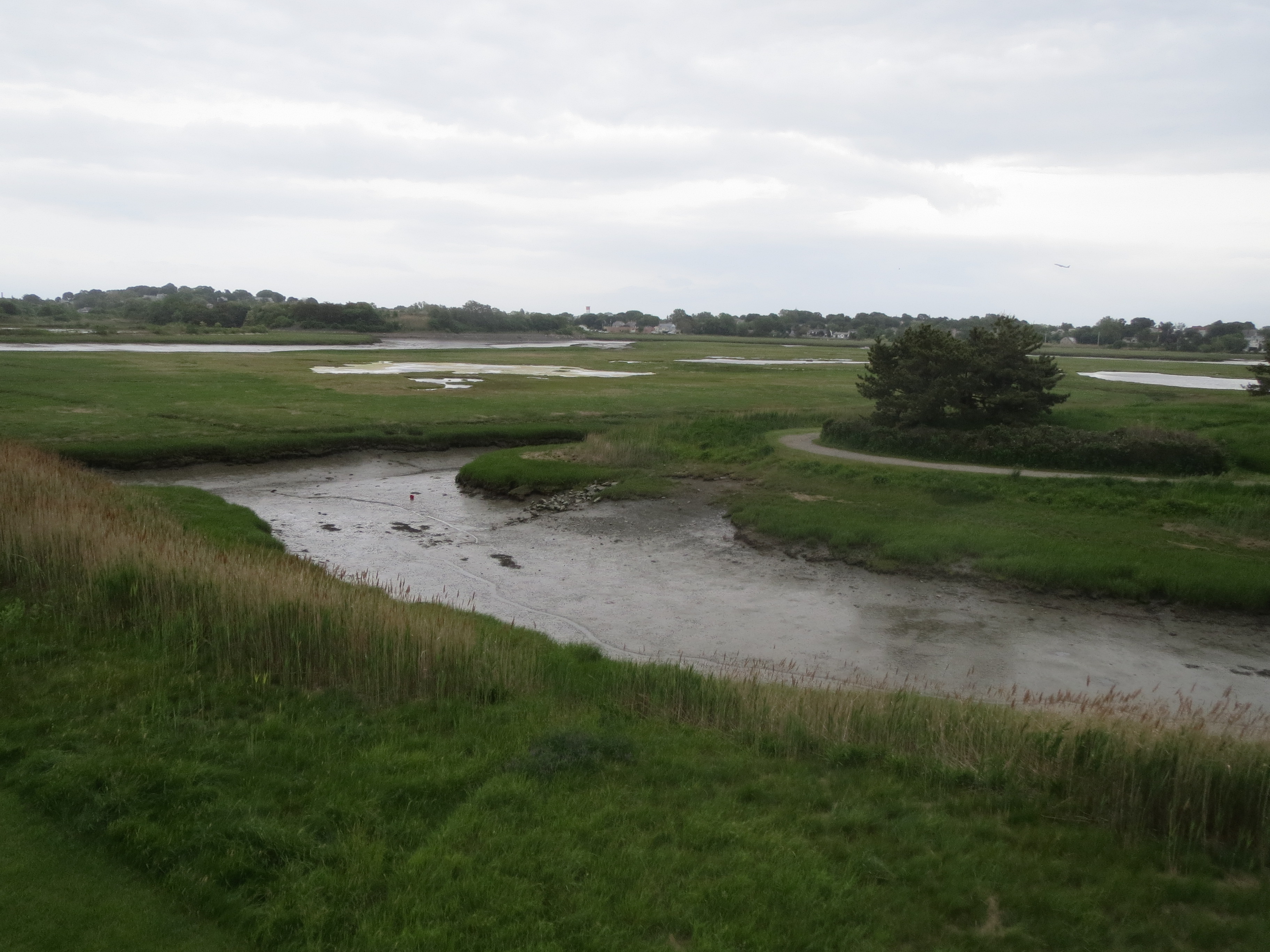
Belle Isle Marsh from an observation tower |

some sort of bird. probably a flying one |